
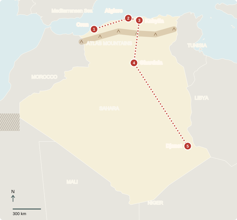
Our journey through Algeria begins on the Mediterranean coast. We follow the greener north, then travel far south into the Sahara. Water helps explain why the two regions look so different.
Your route
From the coast into the Sahara
Oran & Arzew
A coast connected to the world
Ships gather along the coast near Oran. At nearby Arzew, terminals send oil and natural gas overseas. Much of that fuel comes from fields far inland; pipelines connect desert resources to coastal ports. These exports earn much of Algeria’s foreign income. Oran is also associated with raï, a popular singing tradition that has traveled well beyond Algeria.
Nearby factories process fuels before shipment. Depending heavily on energy exports creates a challenge: changes in world prices can affect government spending and jobs.
Locate this stop on the map ↗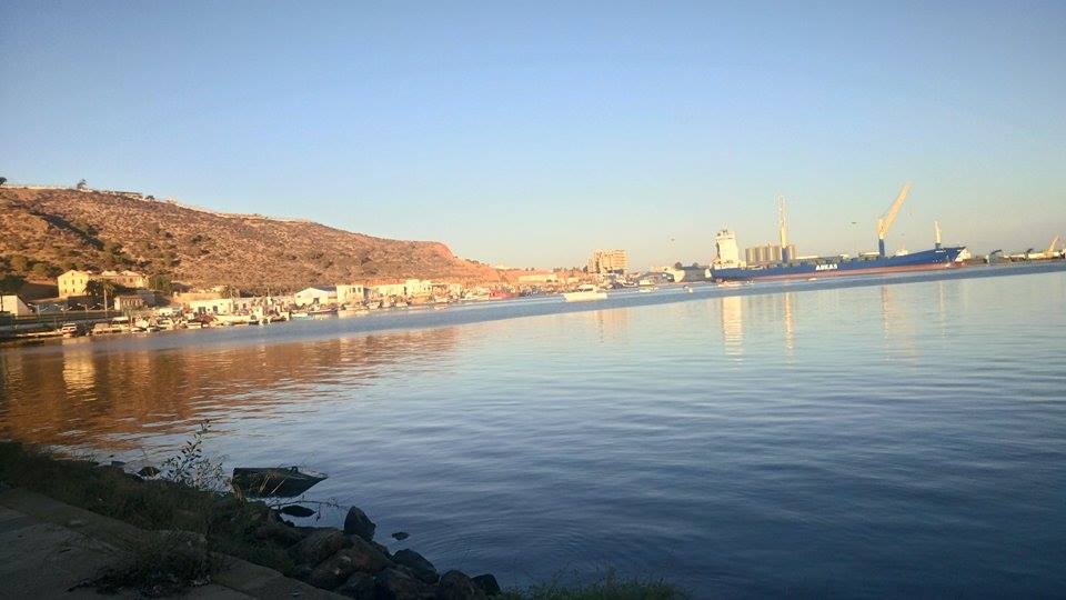
Algiers
Old lanes, modern city
East along the coast, white buildings climb above Algiers’s harbor. Narrow lanes in the Casbah contrast with the capital’s tramways and apartment blocks. Most Algerians live in the north, where rainfall and jobs are more plentiful. Algeria is a republic: adults vote for a president and lawmakers, although political participation faces restrictions. The president holds strong powers.
For a child growing up here, city life can include school, neighborhood shops, and football after lessons. Daily routines vary between families and between urban and rural communities.
Coastal winters are mild and rainy; summers are hot and dry. Inland, the Sahara is much drier. Northern farms grow wheat, barley, citrus, and vegetables. Limited rainfall and drought constrain harvests, so Algeria imports grain to help feed its population.
Locate this stop on the map ↗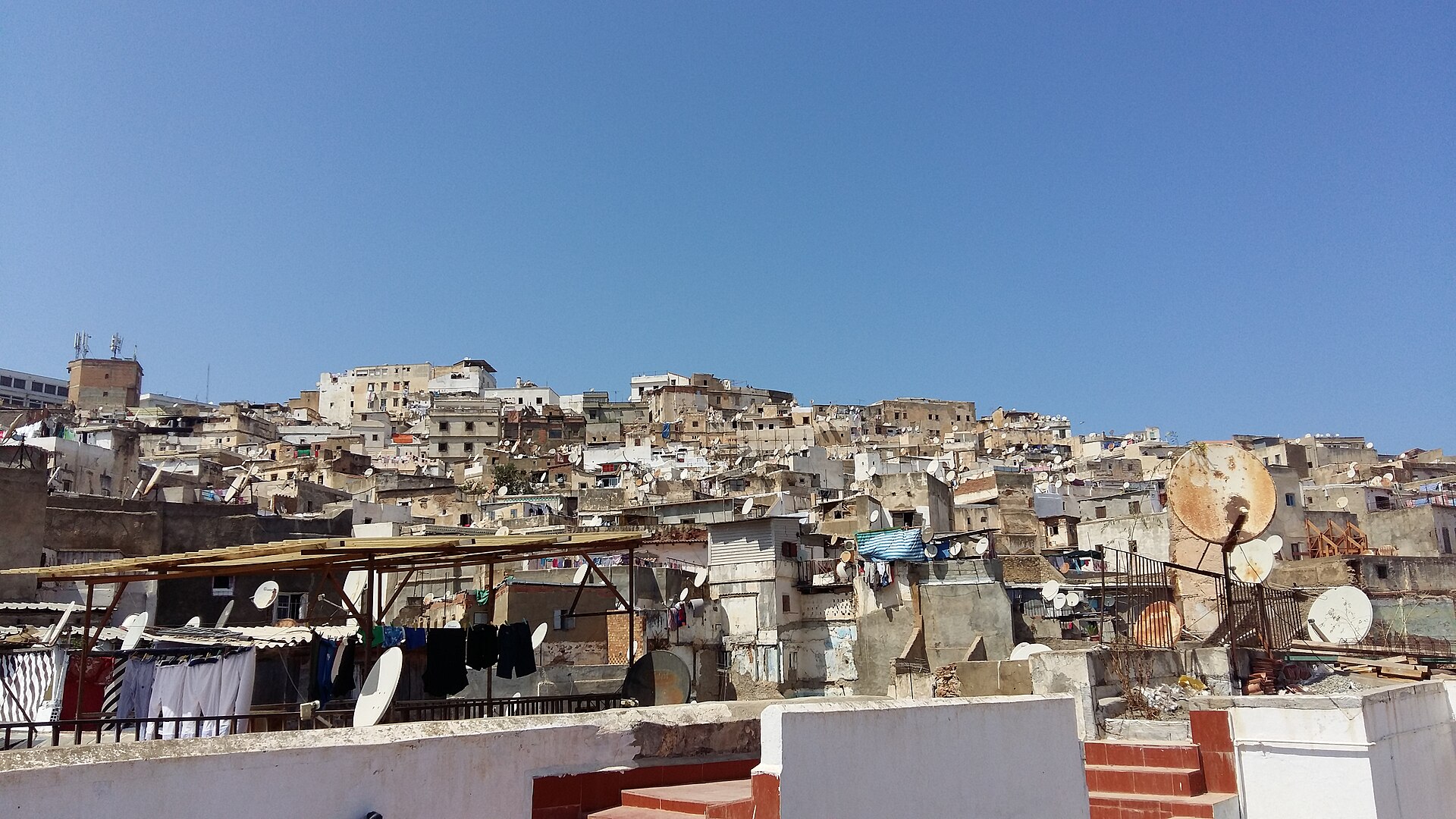
Kabylia
Mountains, languages, and lunch
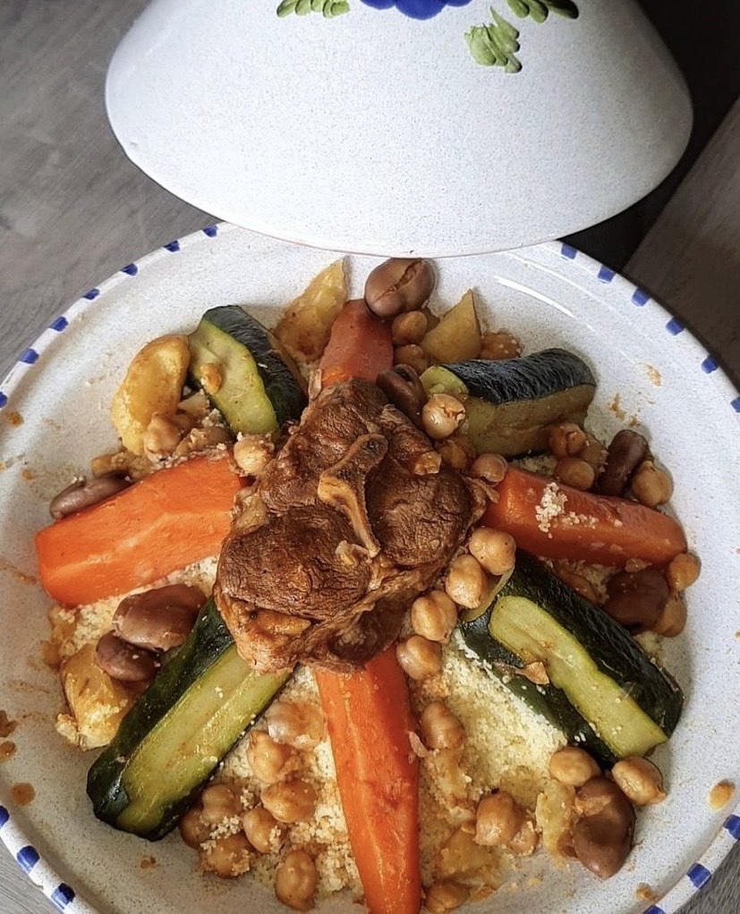
Continuing east brings us into Kabylia’s mountains. This region is home to many Amazigh people, whose languages include Kabyle. Arabic and Tamazight are official languages; French is also widely used. Forests shelter Barbary macaques. At mealtime, couscous—tiny steamed grains made from wheat—may come with vegetables and meat. Most Algerians are Muslim, and Ramadan shapes the rhythm of many communities.
On slopes, farmers grow olives and figs; cooler, wetter uplands look very different from the Sahara. Mountains help catch moisture arriving from the sea.
Locate this stop on the map ↗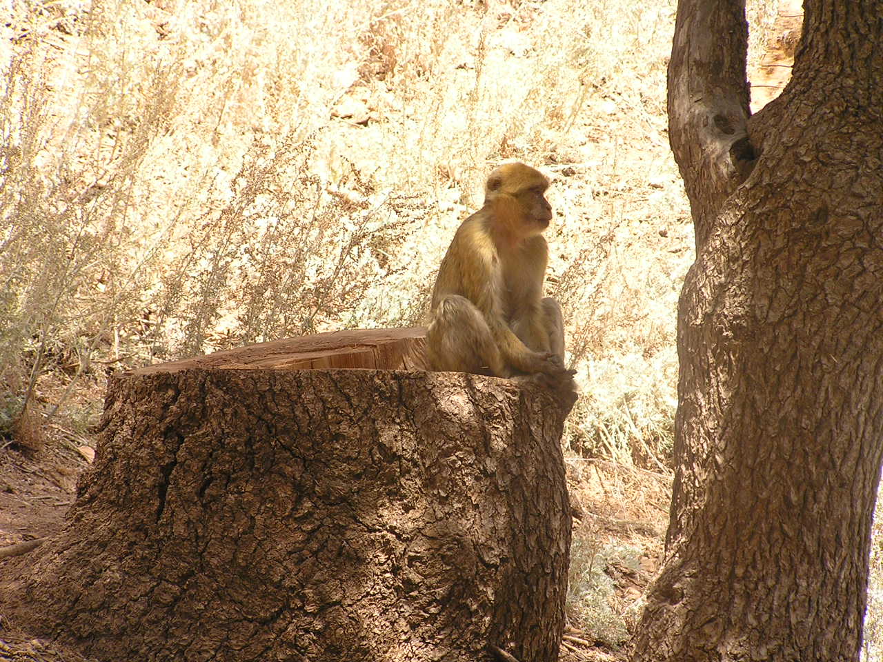
Ghardaia
A town built for desert heat
Now our route turns south, across the Atlas ranges toward Ghardaia. In the M’Zab Valley, compact towns surround hilltop mosques. Close buildings and narrow, shaded passages help people cope with fierce heat. Palm gardens depend on carefully managed water. Shops and workshops make the oasis a meeting place, but the surrounding dry land reminds us that every well matters.
Dates are an important oasis crop. Shade beneath the palms allows other plants to grow, turning a small reliable water source into productive land.
Locate this stop on the map ↗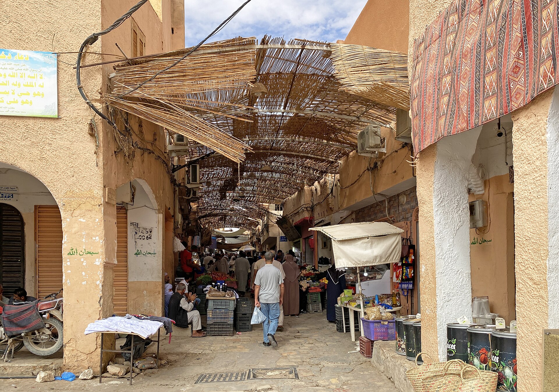
Djanet
Clues in the rocks
The final leg covers hundreds of kilometers to Djanet, near Tassili n’Ajjer’s sandstone cliffs. Ancient rock pictures show animals and people from a time when parts of the Sahara were wetter. Today, Tuareg communities maintain their own Amazigh traditions in this desert region. Tourism creates work for guides and craftspeople, while protecting fragile rock art keeps these clues available for future visitors.
Locate this stop on the map ↗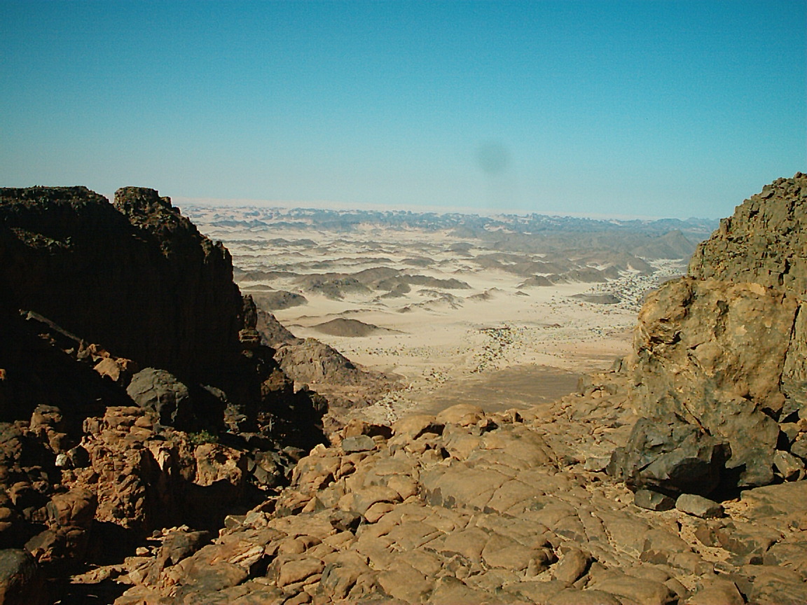
From busy ports to desert oases, our route follows the places where people find water, work, and connections.