Our journey through Angola begins on the Atlantic coast, turns inland to waterfalls and farms, then returns to the sea. Long road and rail connections link this large country’s wetter north and dry southwest.
Your route
Five places, one journey
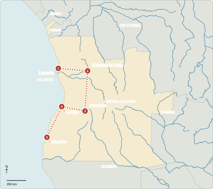
Map includes the Cabinda exclave, separated from the main country by DR Congo.
Luanda
Oil wealth beside crowded streets
Luanda’s waterfront stands beside offices and busy neighborhoods. Offshore oil earns much of Angola’s export income, but wealth is unevenly shared. Many families lack dependable services. Portugal ruled Angola until independence in 1975. Today, voters choose parliamentary party lists; the leading candidate of the winning list becomes president and directs government. The National Assembly makes laws, although power is strongly concentrated in the presidency.
Portuguese connects public offices and schools, while languages such as Kimbundu and Umbundu carry other parts of everyday life. A shared official language does not mean that every Angolan family speaks the same language at home.
Locate this stop on the map ↗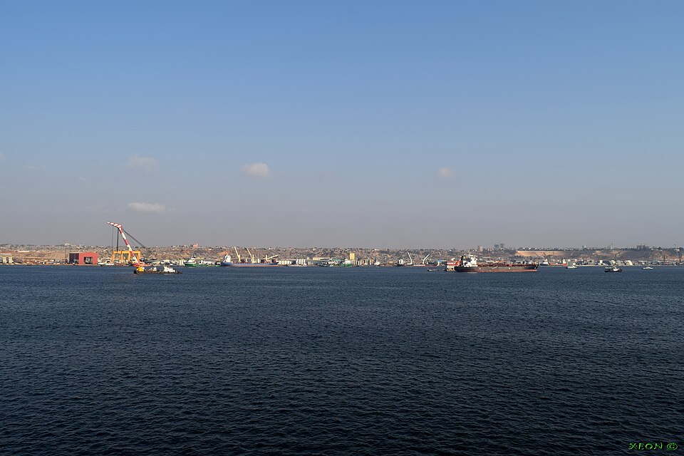
Kalandula Falls
A river meets a steep drop
A long drive east reaches Kalandula Falls on the Lucala River. Water spreads over a curved cliff, with a stronger flow during wetter months. Rain feeds both rivers and fields, but it is not evenly distributed across Angola. Waterfalls could draw more visitors and create guiding jobs; reliable roads and places to stay help turn a natural attraction into income.
The Lucala belongs to the larger Kwanza river system. Moving inland from the coast also reveals why a country map needs rivers as well as borders: water connects places that may be far apart by road.
Locate this stop on the map ↗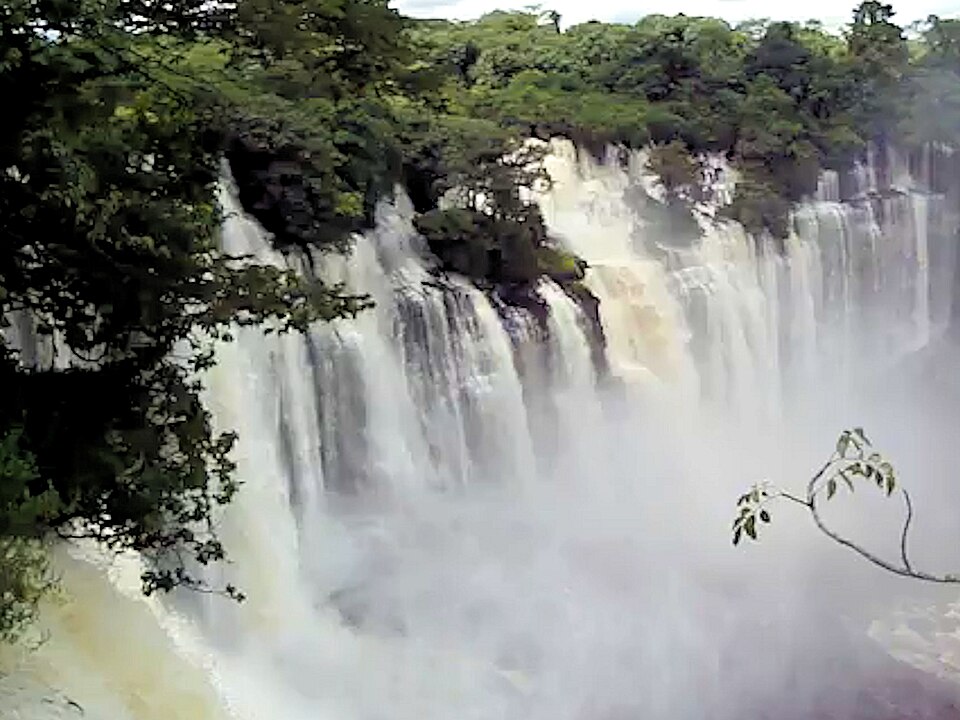
Huambo
Fertile land needs more than rain
Far south, Huambo lies on a cooler plateau. Farmers grow maize, beans and potatoes; cassava is important elsewhere. Funge, a thick cassava or maize porridge, accompanies sauces. Angola’s civil war ended in 2002, but damaged roads, displaced families and land mines left lasting costs. Fertile soil and minerals cannot guarantee prosperity when farms struggle to reach markets or obtain tools and credit.
Angola exports diamonds as well as oil, yet those earnings do not automatically buy a small farmer a working bridge or a good harvest. Food security depends on practical connections between land, people, storage and transport.
Locate this stop on the map ↗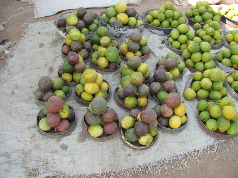
Lobito
Rails lead to the ocean
We turn west toward Lobito, where the Benguela railway meets a sheltered Atlantic port. The transport corridor links Angola’s interior with the copper-producing regions of neighboring countries. Trains and ships can lower the cost of moving heavy goods. Expanding trade beyond oil offers jobs, but rebuilding infrastructure and making its benefits widely available take time.
A port is more than a place where ships stop. Warehouses, railway workers and repair businesses also help goods move. Inland producers gain another route to buyers when these different parts of the transport system work together.
Locate this stop on the map ↗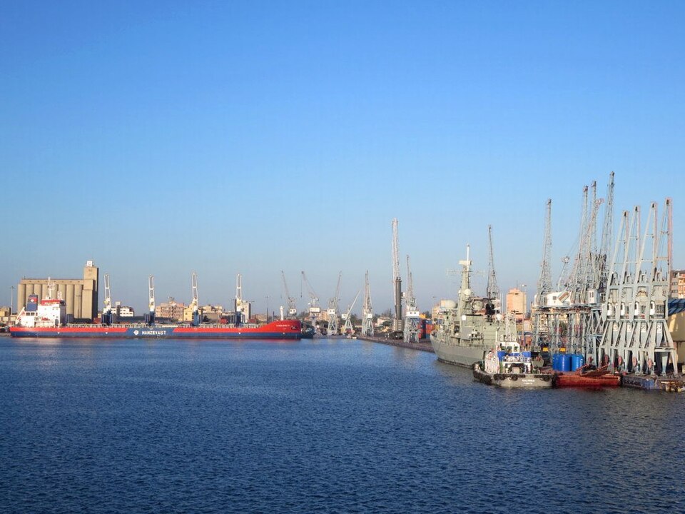
Namibe
Life at the desert’s edge
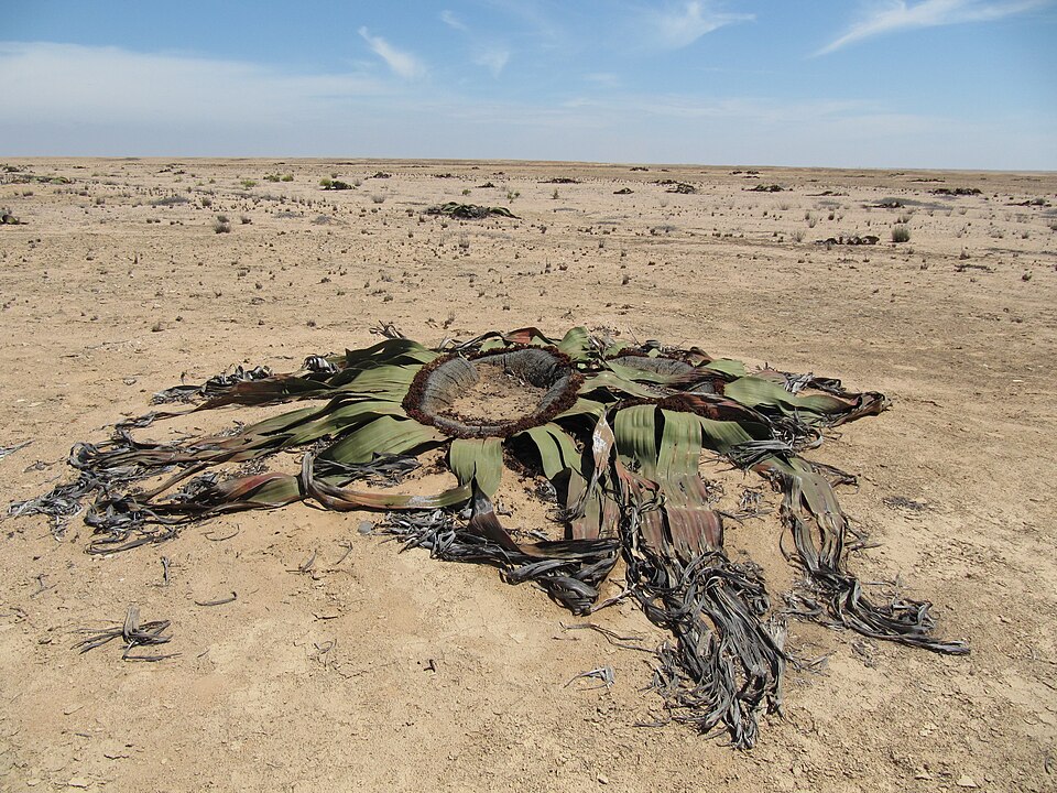
Continuing south along the coast brings us to Namibe. The cold Benguela Current helps make the nearby desert unusually dry, while nutrient-rich ocean water supports fishing. Welwitschia plants survive in this harsh region with only two leaves that keep growing. Fishing, ports and desert tourism support different livelihoods from those of the rainy highlands. Careful water use matters where dependable rain is scarce.
The same coastline contains two contrasting environments: a productive ocean and a dry strip of land. Families earning a living from fish face different constraints from farmers inland, especially when it comes to fresh water.
Locate this stop on the map ↗