
Our journey through Benin begins in the coastal south, visits a lake settlement and historic towns, then continues far north. Seasonal rainfall helps shape this long, narrow country.
Your route
Five places, one journey
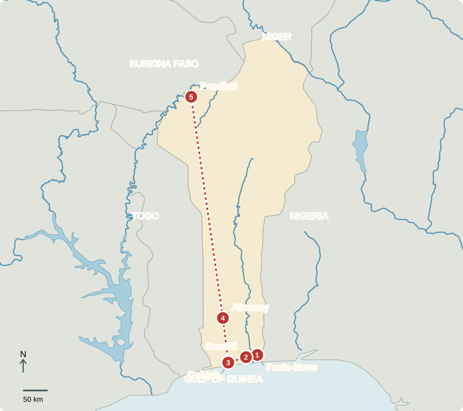
Porto-Novo
Two cities with different roles
Porto-Novo is the official capital, while larger Cotonou holds many government offices and the major port. Trade through Cotonou connects Benin with inland neighbors. The country became independent from France in 1960 as Dahomey and took the name Benin in 1975. Voters elect a president and legislature. French is official, but Fon, Yoruba and other languages remain central to daily life.
The modern Republic of Benin is not the same as the historic kingdom of Benin, whose center lay in what is now southern Nigeria.
Locate this stop on the map ↗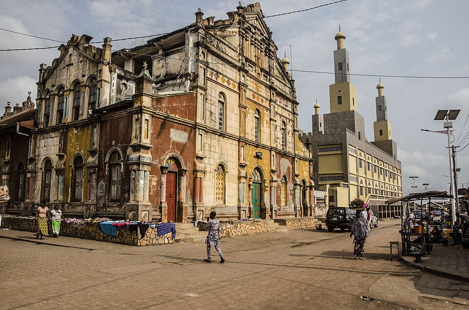
Ganvié
Homes above the water
Traveling west and continuing by boat, we reach Ganvié on Lake Nokoué. Houses on stilts and water transport adapt settlement to a lake environment. Fishing supports livelihoods, while water quality and changing conditions create challenges. Local history connects the settlement with refuge from slave raiding. Fish, maize and cassava help feed the southern region; adapting to water also means protecting it.
Building above water changes ordinary journeys: a boat can serve a purpose that a street or footpath serves elsewhere. Settlement design reflects local conditions.
Locate this stop on the map ↗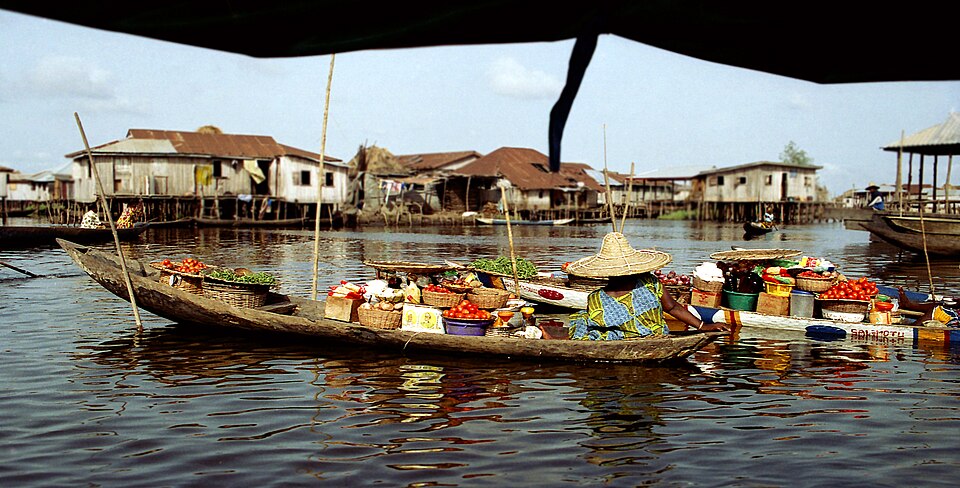
Ouidah
Remembering forced departures
Farther west, memorials recall the Atlantic slave trade. Enslaved Africans carried religious knowledge, music and stories to the Americas despite forced displacement. Vodun remains an important religious tradition in Benin; Christianity and Islam are also practiced. These beliefs and histories cannot be reduced to one custom shared by everyone. Cultural heritage contributes to tourism and helps communities preserve memory.
Remembering forced migration also helps explain cultural connections across the ocean. Practices carried by enslaved people changed as later generations built new communities.
Locate this stop on the map ↗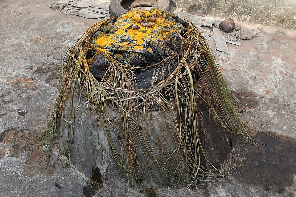
Abomey
A kingdom remembered in its palaces
Turning north, we reach the royal palaces of the former Dahomey kingdom. Their art records rulers, power and historical events, including the kingdom’s role in warfare and slave trading. Beyond town, agriculture supports many households. Cotton is a major export, while yams, maize, cassava and pineapples provide food and income. Processing crops and improving roads offer opportunities, though poverty remains widespread.
A cotton export depends on seeds, rainfall and soil, but also on equipment and human skills. Natural, capital and human resources work together.
Locate this stop on the map ↗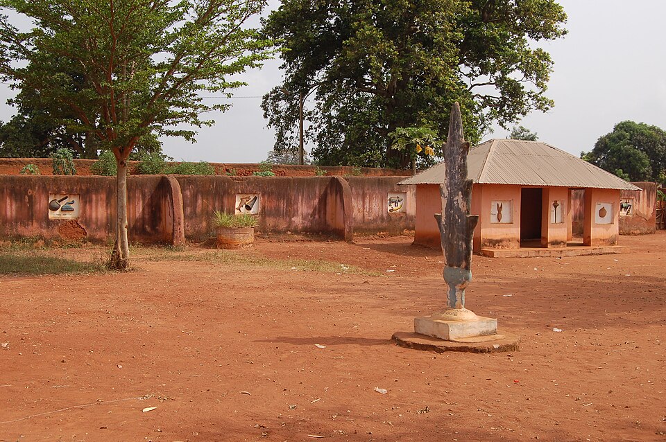
Pendjari
A different landscape in the north
A long northern transfer brings us to seasonal savanna and protected wildlife habitat. Elephants and other animals depend on water and connected habitats. Benin also has limestone and other mineral resources, but farming and trade are especially important. Drought, soil erosion and northern insecurity complicate livelihoods. Protecting trees and managing farmland help conserve soil; the route is an educational sequence, not advice to visit restricted areas.
Savanna is not bare desert. Grass, scattered trees and seasonal water support farming, grazing and wildlife, though a long dry season limits what can grow.
Locate this stop on the map ↗