Our journey through Botswana starts in Gaborone and crosses dry country toward the Okavango Delta and Chobe River. Long drives or flights connect these widely separated places in a landlocked country dominated by the Kalahari.
Your route
Five places, one journey
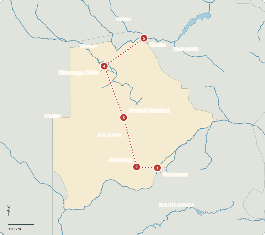
Route lines connect learning stops, not exact roads.
Gaborone
Choosing representatives
Gaborone became the capital as Botswana gained independence from Britain in 1966. Voters elect parliamentary candidates who endorse presidential candidates. Normally, the candidate supported by a majority of elected members becomes president; otherwise, the Assembly votes. The president runs government, while Parliament passes laws and can withdraw confidence. Citizens can choose between parties. Diamond wealth has funded services, but unemployment and inequality remain challenges.
English is the official language, and Setswana is widely spoken. The currency is called the pula. Government services and private businesses draw workers to the capital, although the country’s mines, cattle lands and wildlife areas lie much farther away.
Locate this stop on the map ↗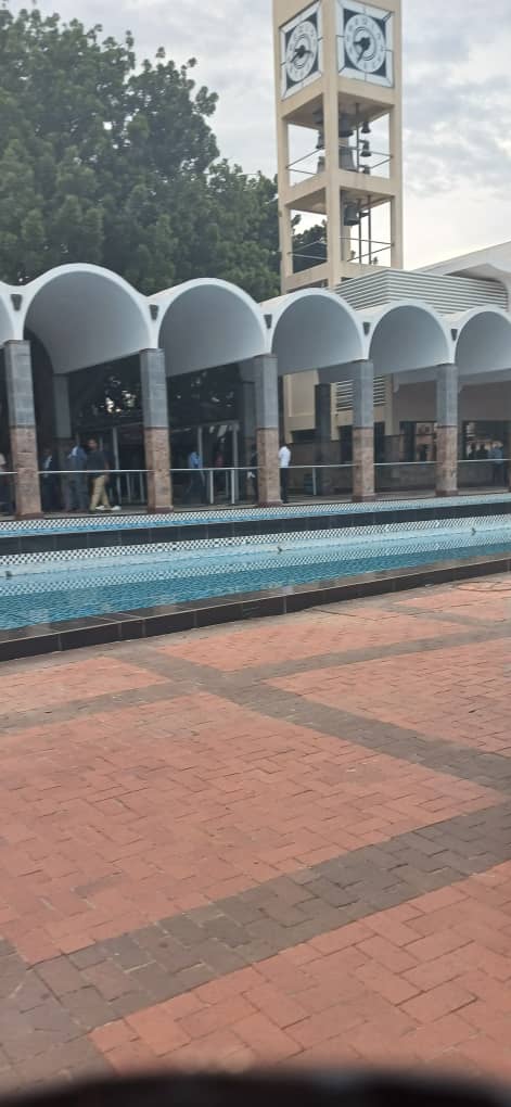
Jwaneng
A deep opening in the ground
West of the capital, Jwaneng’s open-pit diamond mine cuts into the earth. Diamonds formed far below the surface and reached shallower rock through ancient volcanic activity. Mining and diamond sales are important sources of national income. Dependence on one valuable product is risky: falling demand can reduce earnings. Botswana is seeking more opportunities in manufacturing, services and tourism.
An open-pit mine removes rock in stages from a large surface excavation. The finished gemstone is only a small part of that material. Mining landscapes show how a product bought far away can reshape the place where it originates.
Locate this stop on the map ↗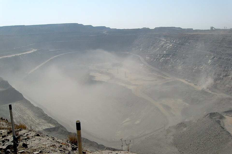
Central Kalahari
Living with little rain
A long trip north reaches sandy grassland and scrub in the Central Kalahari. This is not an endless field of bare dunes. Rain is unreliable, so water shapes where people and animals can live. San communities have deep knowledge of this landscape, although their lives and livelihoods vary today. Elsewhere, cattle raising and drought-tolerant sorghum are important; beef is an export.
The dry landscape supports livelihoods, knowledge and wildlife; it is not empty land. Cattle need grazing and drinking water, while sorghum can cope with drier conditions than some crops. Even so, severe drought places pressure on both.
Locate this stop on the map ↗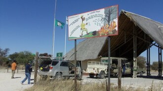
Okavango Delta
Water arrives from far away
Farther northwest, water from Angola spreads into channels and floodplains instead of reaching the sea. The flood often arrives during Botswana’s dry season, supporting animals when surrounding land is parched. Guides travel through shallow channels in mokoro canoes, traditionally carved from trees. Tourism provides income, but the delta depends on water and conservation decisions extending beyond Botswana’s borders.
A delta forms when a river spreads into many channels and deposits sediment. Here the water ends inland, mostly returning to the atmosphere or soaking into the ground. Its seasonal arrival creates wetlands inside otherwise dry country.
Locate this stop on the map ↗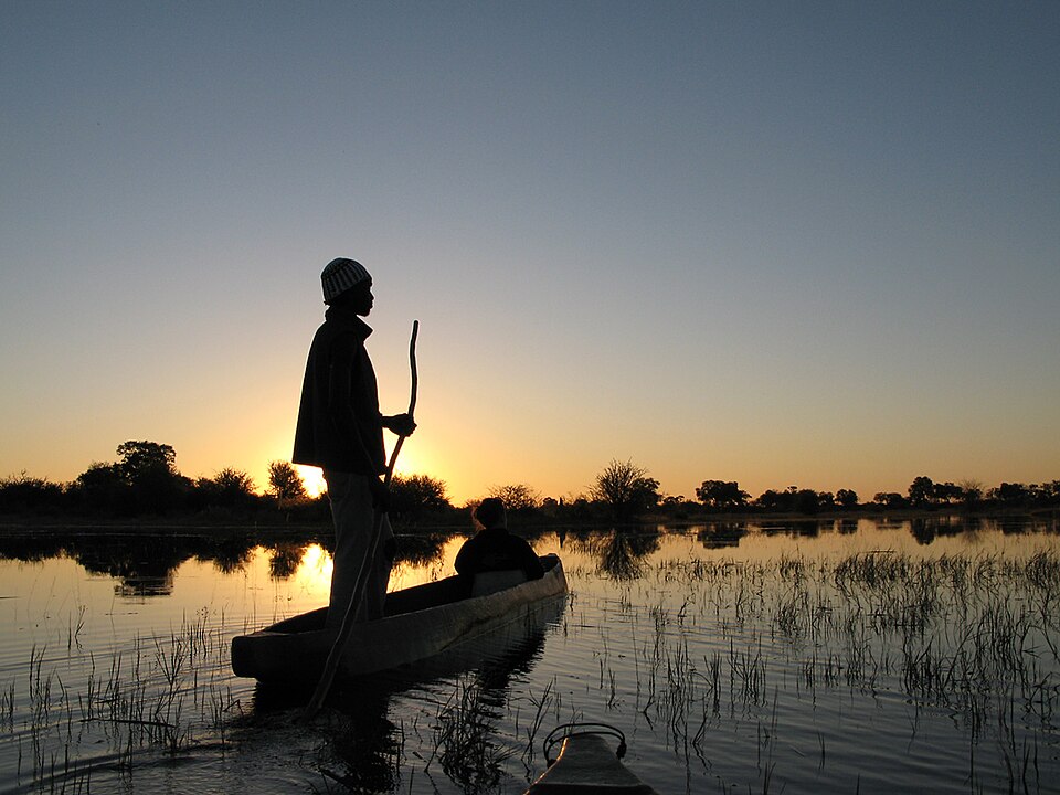
Chobe
Sharing a riverbank
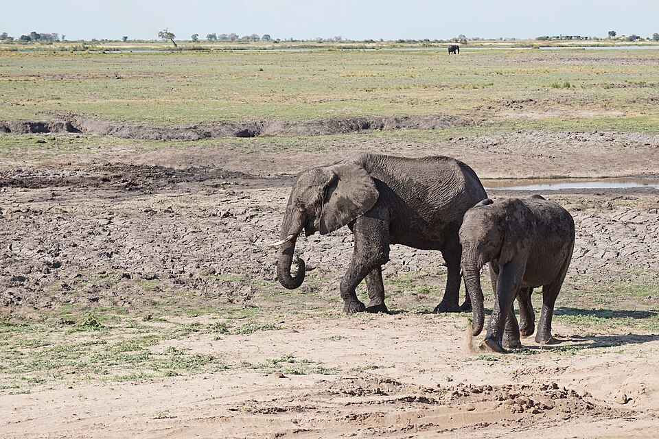
We continue northeast to the Chobe River near Kasane. Elephants gather along the water, especially in dry months, and boat trips support local businesses. Wildlife also crosses national boundaries. Animals can damage nearby crops, so protecting them must include the concerns of farming communities. The river links this greener corner of Botswana with neighboring countries, completing a journey shaped by minerals and scarce water.
Chobe contrasts with the Central Kalahari because dependable river water supports a greener strip of habitat. Boat operators, accommodation workers and craft sellers benefit from visitors. Their income depends partly on keeping the river and wildlife healthy.
Locate this stop on the map ↗