Our journey through Burkina Faso begins in its capital, visits dry farming country, then turns toward the wetter southwest. This landlocked country depends on roads through neighbors to reach ports.
Your route
Five places, one journey
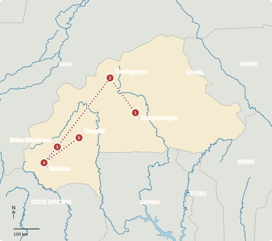
Ouagadougou
A city of work and creativity
Markets, workshops and film culture give the capital a busy urban life. Services and trade sit alongside a national economy strongly linked to farming and gold. The country became independent from France in 1960 and adopted the name Burkina Faso in 1984. Military authorities now govern a transition, rather than an elected civilian administration. Conflict has disrupted livelihoods and forced many people from home.
Being landlocked does not prevent trade, but it makes reliable links with neighboring countries essential. Delays at roads or borders can raise the cost of everyday supplies.
Locate this stop on the map ↗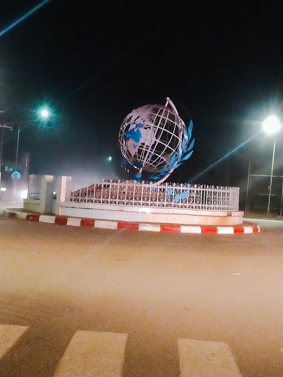
Ouahigouya
Catching rain in small pits
Heading northwest, we enter drier country near the Sahel. Some farmers dig zaï pits, adding organic matter so scarce rain collects near plants instead of running away. Lines of stones also slow runoff and help soil retain moisture. Millet, sorghum and cowpeas suit a short rainy season. These techniques show how knowledge and labor can improve difficult growing conditions, although severe drought still damages harvests.
The pits concentrate resources around individual plants. A small change to how rain moves over a field can make water more useful without creating additional rainfall.
Locate this stop on the map ↗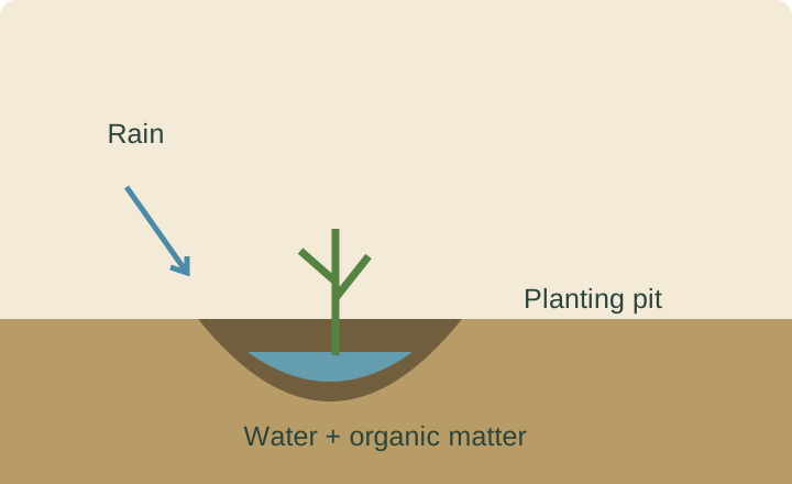
Bobo-Dioulasso
Markets around an earthen mosque
A long southwestern transfer brings us to an important trading and cultural city. Its earthen mosque reflects building traditions adapted to available materials. Cotton from surrounding regions feeds processing and export businesses; musicians and craftspeople contribute other skills. Muslims, Christians and followers of Indigenous religions all live in Burkina Faso. Languages and customs differ across communities rather than fitting one national pattern.
Processing cotton near growing areas reduces the bulk sent onward. Fibers can then move through regional roads and ports toward textile manufacturers and clothing markets.
Locate this stop on the map ↗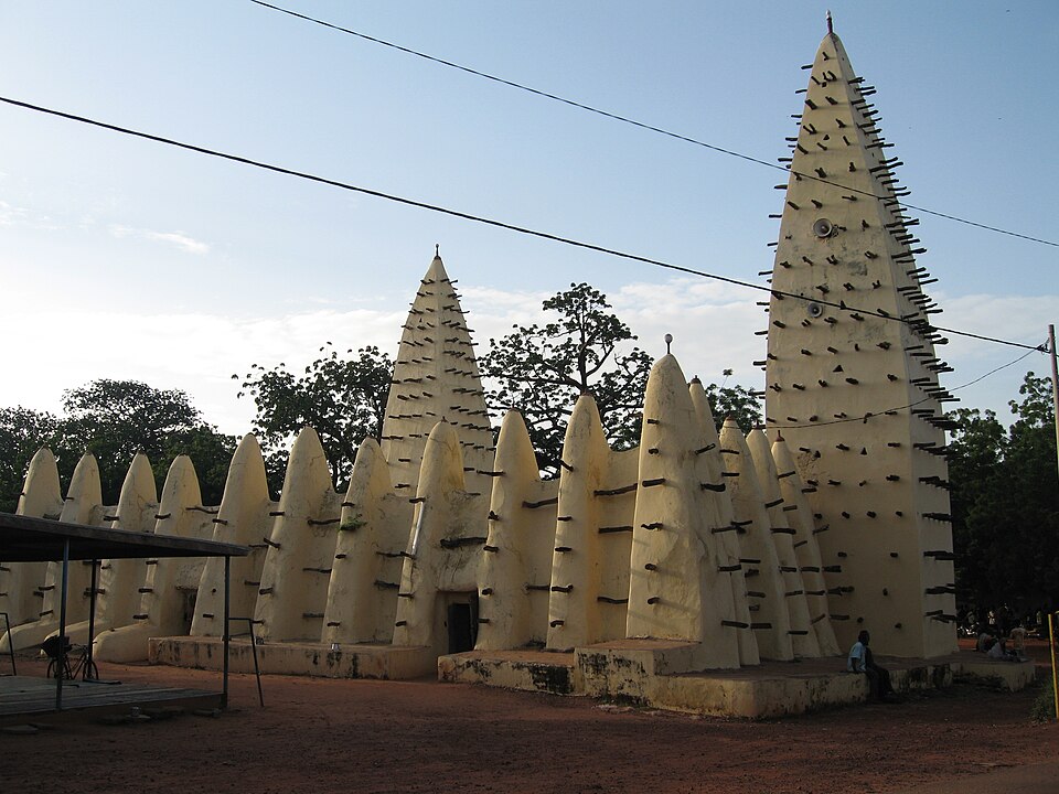
Banfora
More water, different crops
Continuing southwest, we reach a landscape of cliffs, waterfalls and greener fields. Rainfall is generally greater here than in the north. Sugarcane, rice, maize and fruit add variety to agriculture, while grains become foods such as tô, a thick porridge eaten with sauce. Irrigation can support farming, but farms and towns must share water. Seasonal drought and flooding both create challenges.
A waterfall depends on more than the presence of hills. Enough water must move through the landscape, so its flow can change with the seasons.
Locate this stop on the map ↗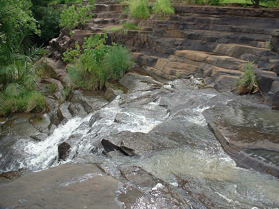
Houndé
Gold and its trade-offs
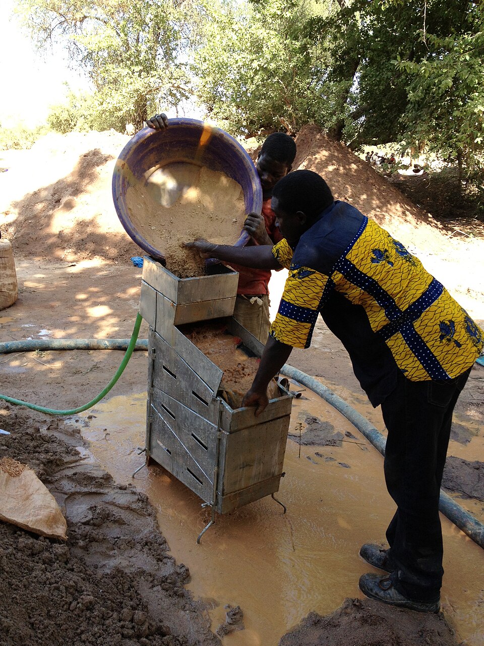
Turning northeast, we enter a gold-producing area. Gold is a major export; zinc and other minerals also occur nationally. Mining can create earnings while disturbing land and water. Many Burkinabè remain poor despite mineral wealth. Safer livelihoods, education, better transport and restoring degraded farmland offer opportunities, but insecurity limits them. Our mapped stops describe places to learn about, not an unrestricted travel itinerary.
Minerals form over geological time; a crop can be replanted each season. That difference makes restoring mined land and developing other jobs important for the future.
Locate this stop on the map ↗