Our journey through Burundi begins beside Lake Tanganyika and climbs into green highlands. This landlocked country has a warmer lakeshore, cooler hills and wet and dry seasons that shape farming.
Your route
Five places, one journey
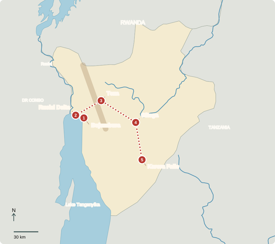
Route lines connect learning stops, not exact roads.
Bujumbura
A lakeside trading city
Bujumbura, the largest city and economic center, sits beside Lake Tanganyika. Boats carry goods between countries around this deep Rift lake. Fish provide food and income; beans and bananas are also common foods. Burundi’s lack of an ocean coast makes dependable lake and road links especially important for trade.
A lakeside port is useful even without an ocean. Goods can cross the water, then continue by road. This combination links Burundi with neighboring markets. Delays or damaged roads can raise the cost of bringing supplies to shops and farms.
Locate this stop on the map ↗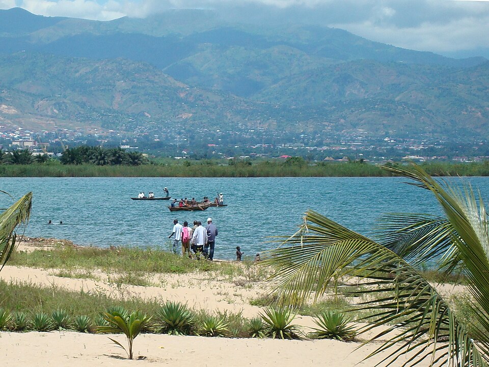
Rusizi Delta
Where river meets lake
Just northwest, the Rusizi River spreads into wetlands before entering Tanganyika. Hippos and waterbirds use these habitats. Fishing, farming and growing settlements also depend on the water. Pollution and land clearing can damage both wildlife habitat and resources people need. Nature visits offer opportunities for local work, although Burundi’s tourism industry remains small.
A delta forms where a river slows and drops sediment near its mouth. Wetlands provide a meeting place for river water, lake water and land. Changes upstream can therefore affect this shoreline, showing why habitat protection cannot focus on one small site alone.
Locate this stop on the map ↗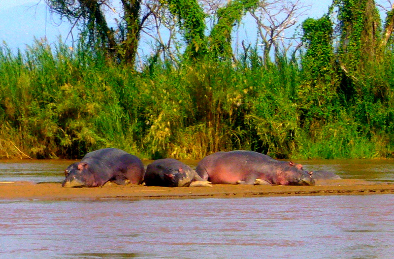
Teza
Tea beside mountain forest
The road climbs to Teza’s tea fields near Kibira forest. Regular rain and cool upland conditions suit tea, while coffee is another important export. Many families depend on small farms. Heavy rain can wash soil from cleared slopes, so protecting forests and planting across hillsides helps safeguard water and farmland.
An export crop is grown partly for buyers abroad. Its sale can bring money into the country, but a farming household still needs enough food. Farmers balance these needs while facing changes in rainfall, harvest size and the prices buyers offer.
Locate this stop on the map ↗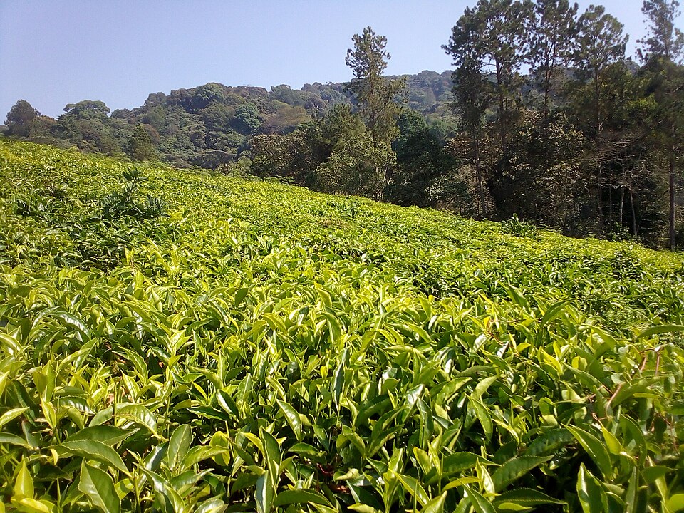
Gitega
A capital with a drumbeat
Continuing east, we reach Gitega, the political capital since 2019. Burundi elects a powerful president and a parliament that passes laws. Nearby drum traditions recall the former kingdom: performers combine powerful rhythms, movement and song. Independence from Belgian rule came in 1962. Later violence and civil war damaged lives and services; rebuilding livelihoods remains a challenge.
The distinction between the two main cities is useful: the political capital houses national decision-making, while the larger lakeside city remains an important business center. A country’s capital does not have to be its biggest city or its busiest trading place.
Locate this stop on the map ↗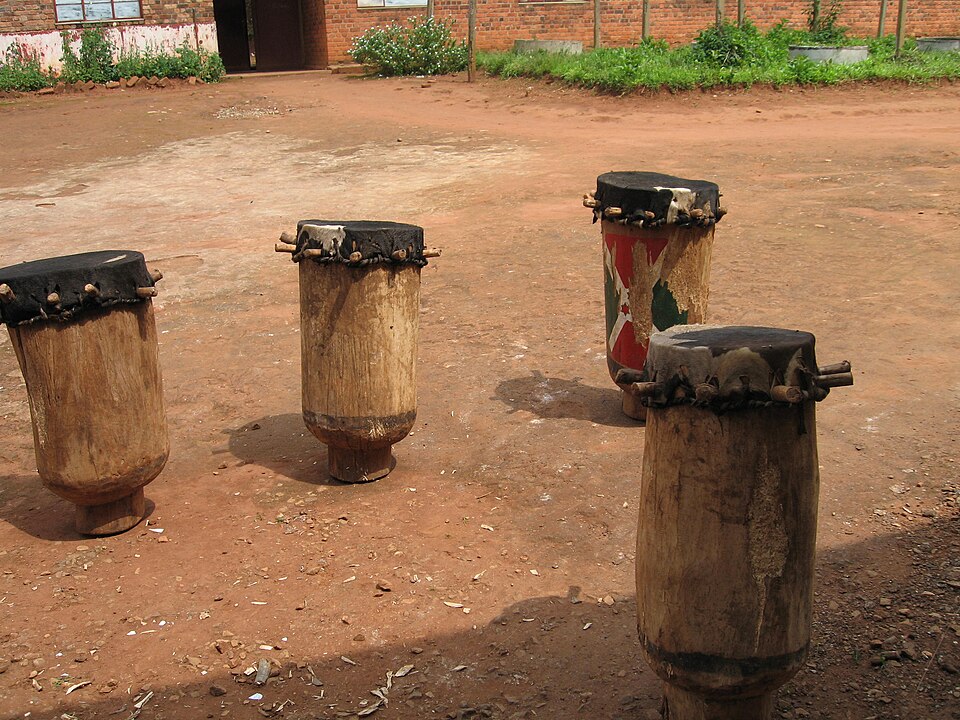
Karera Falls
Water on its way downhill
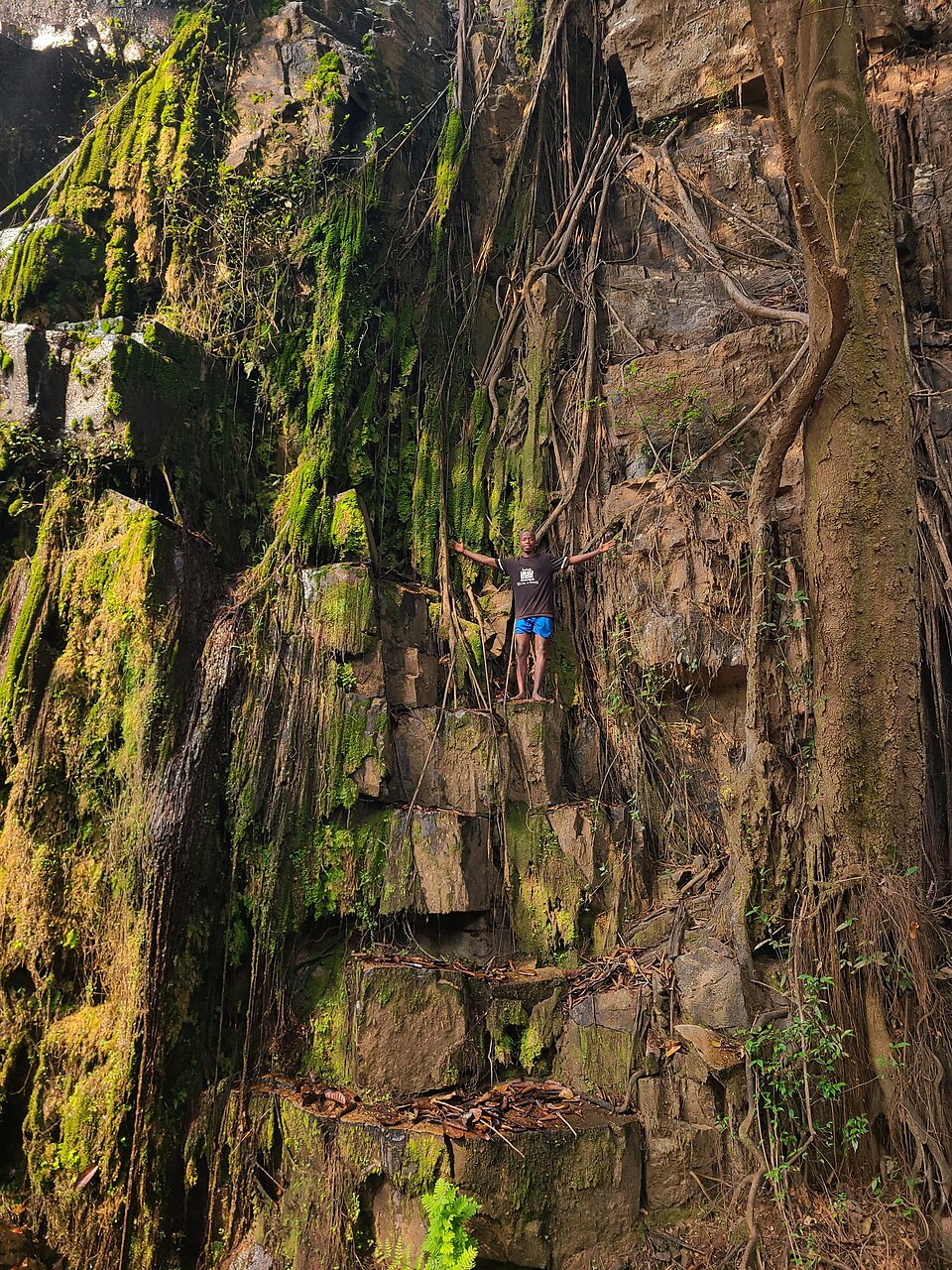
South of Gitega, Karera’s waterfalls tumble through a wooded valley. They show how upland water moves toward lower country. Protecting trees around streams helps reduce erosion. Scenic places could support more guiding and visitor services, but road access, reliable electricity and household poverty constrain those opportunities. A country’s natural beauty and its living conditions must be understood together.
Waterfalls make the effects of height easy to see: gravity carries water from the hills toward lower land. The same moving water can help shape valleys or carry away exposed soil. Trees and other plant cover help keep that soil in place.
Locate this stop on the map ↗