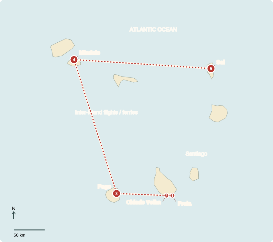
Our journey through Cabo Verde begins on Santiago, then uses inter-island flights or ferries to reach Fogo, São Vicente and Sal. These Atlantic islands lie west of mainland Africa.
Your route
Five places, one journey
Praia
A capital above the ocean
Markets connect Praia with fishing boats, farms and imported goods. Portuguese is official, while Cabo Verdean Creole is widely used in everyday life. The parliamentary republic has an elected president; a government led by the prime minister depends on parliamentary support. Services and tourism dominate the economy. Living standards are higher than in many mainland neighbors, but poverty and unequal opportunities remain.
An island economy depends on shipping and air links. Imported fuel and food can become more expensive when transport costs or world prices rise.
Locate this stop on the map ↗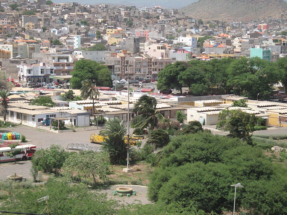
Cidade Velha
An Atlantic crossroads
A short westward drive reaches the former Ribeira Grande. Portuguese colonization began in the fifteenth century on previously uninhabited islands. The town became entangled in Atlantic trade and slavery, bringing African and European influences together under unequal conditions. Independence came in 1975. Historic buildings help explain how a small island settlement became connected with several continents.
An archipelago is a group of islands. Ocean passages create connections, but they also make building one continuous road network across the country impossible.
Locate this stop on the map ↗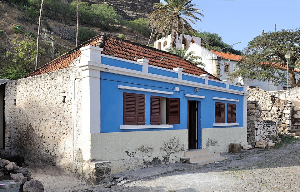
Fogo
Farming beside a volcano
We cross to Fogo, where a high volcanic cone rises above the landscape. Eruptions can destroy buildings and fields, but some volcanic soils support farming. Growers cultivate crops including coffee and grapes in suitable areas. Rain is scarce and unreliable across much of the country, so terraces and water storage matter. Cachupa, a stew based on maize and beans, connects cooking with local and imported ingredients.
Bananas, vegetables and sugarcane grow where conditions allow, while coconuts add another crop. Limited rain and usable farmland mean domestic farming cannot supply every food need.
Locate this stop on the map ↗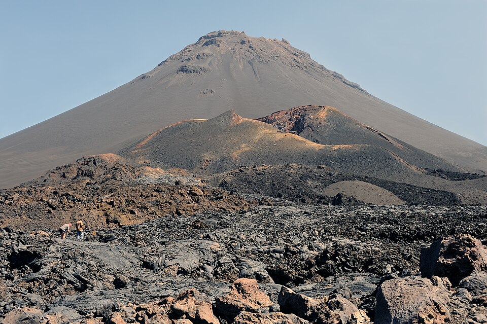
Mindelo
A harbor that carries music
Another island transfer brings us to Mindelo on São Vicente. Its sheltered harbor supported shipping, while musical life connects islanders with communities overseas. Morna songs often explore longing, belonging and separation. Many Cabo Verdeans have relatives abroad; migration and money sent home shape livelihoods. Fishing supplies food and exports, although ocean resources need careful management. Most residents identify with Christianity.
A sheltered bay gives ships protection, but a port also needs people and equipment to handle goods. Geography provides an advantage that investment can develop.
Locate this stop on the map ↗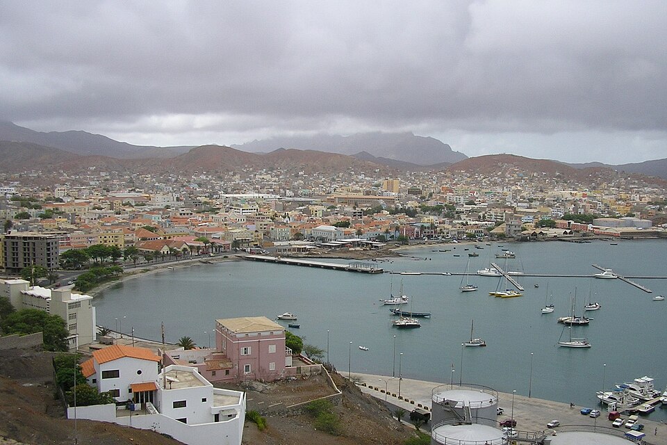
Sal
Salt, beaches and scarce water
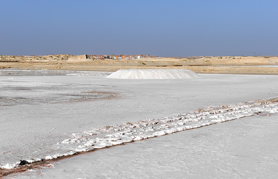
Our last flight lands on a flatter, dry island. Salt extraction helped give Sal its name; beaches now attract visitors and tourism jobs. Unlike Western Africa’s humid forest belt, these oceanic islands are generally dry. Hotels and homes need water, often supplied through desalination, which removes salt from seawater and requires energy. Tourism brings income but depends on transport, reliable services and protecting the coast.
Sea water is plentiful, but fresh drinking water is not. Desalination shows how energy and technology can help people adapt to a dry environment.
Locate this stop on the map ↗