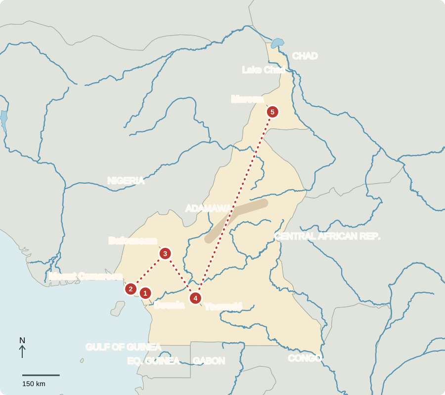
Our journey through Cameroon begins at the coast, climbs toward volcanoes and highland communities, then crosses to the capital and northern savanna. Long road and rail connections link sharply different climates and ways of earning a living.
Your route
Five places, one journey
Douala
A port with many products
Douala’s port handles timber, cocoa, oil and other goods. Cameroon has agriculture, services and manufacturing as well as petroleum. Yet oil income has not made everyone prosperous: poverty, unreliable power and uneven public services remain. Heavy rain can damage roads, making it harder to move crops and timber to markets.
A port is a meeting point for natural resources, built infrastructure and human skills. Crops and timber need warehouses and roads; workers need training, safe conditions and reliable power to handle them.
Locate this stop on the map ↗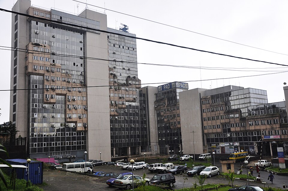
Mount Cameroon
An active mountain above farms
Westward, Mount Cameroon rises steeply above the coast. Rainy slopes support forests and farms, including plantains and cocoa; eruptions are a natural hazard. German rule began in 1884 to secure trade and plantation resources. Britain and France divided the territory after World War I. French Cameroon became independent in 1960; British Southern Cameroons joined in 1961.
Locate this stop on the map ↗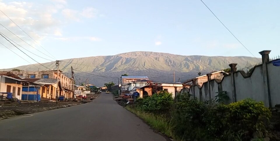
Bafoussam
A buffalo carved for performance
In the western highlands, Bamileke communities developed courtly masquerades. A wooden tsenya buffalo helmet crest has prominent horns, flaring nostrils and a long muzzle. Buffalo courage helped make it important to the Mepfeli association, whose members came from royal lineages. Crests appeared at mourning ceremonies and sometimes farming and fertility rites. These specific meanings cannot be assigned to every African mask.
Look at the crest’s silhouette as well as its surface. Horns and a projecting muzzle make the buffalo recognizable even from a distance during a moving performance.
View the lesson’s museum object
Locate this stop on the map ↗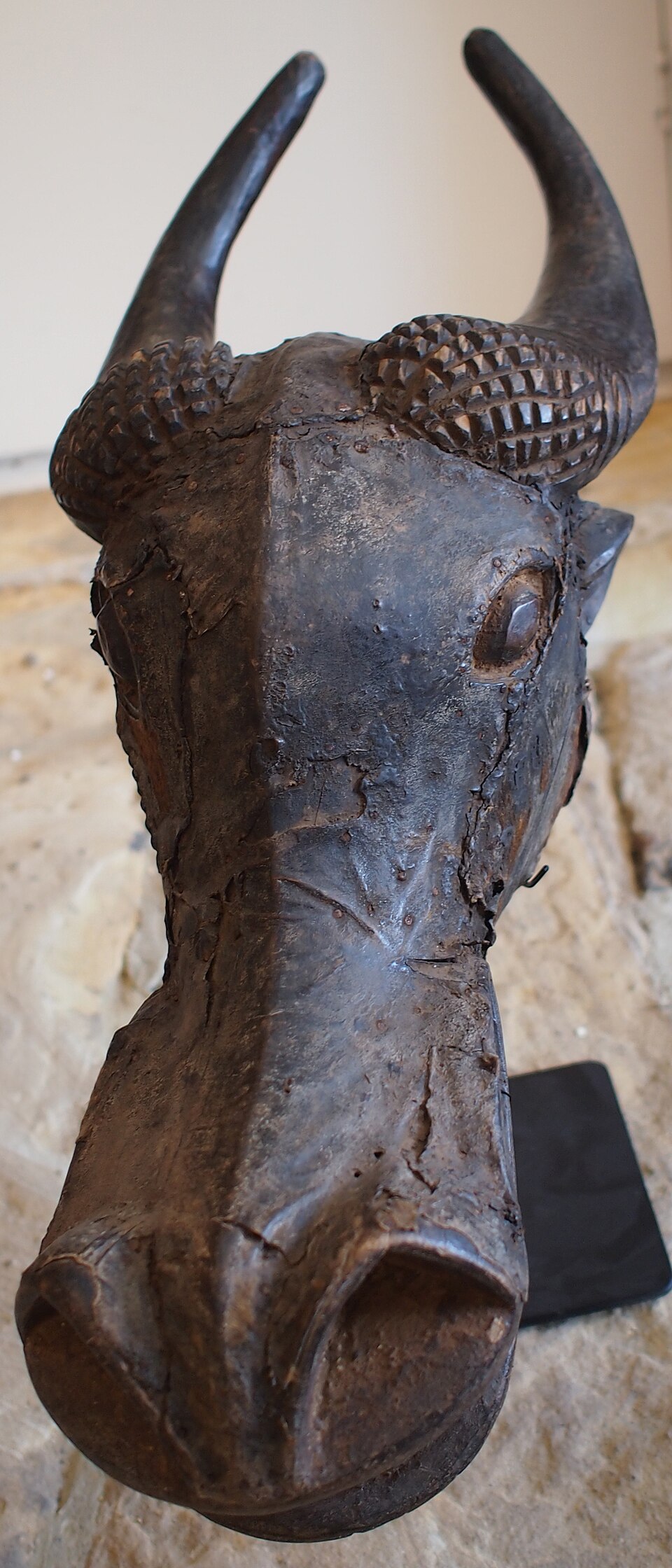
Yaoundé
Public choices in a hilly capital
Turning southeast brings us to Yaoundé, the seat of government. Presidential and parliamentary elections are held, but executive power is strong and opposition faces restrictions. Armed conflict in English-speaking regions has displaced families and disrupted schooling and health care. Colonial divisions help explain official French and English, but Cameroon also has many African languages. Christians, Muslims and followers of Indigenous traditions share the country.
Locate this stop on the map ↗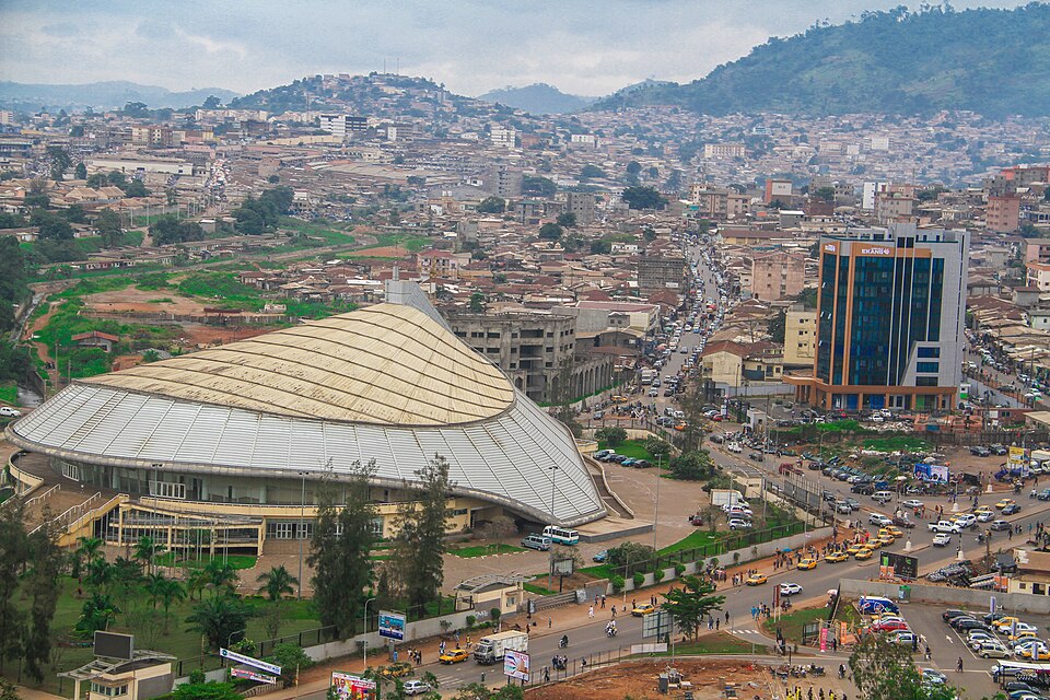
Maroua
Planning for a shorter rainy season
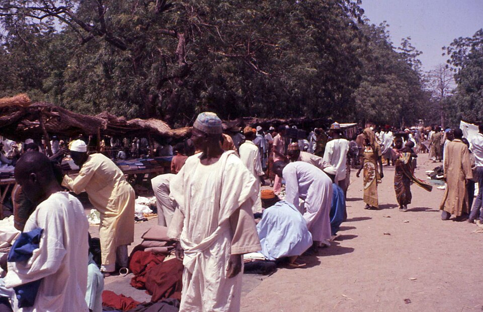
A long transfer north reaches Maroua’s hotter, drier plains. Millet, sorghum, cotton and livestock support livelihoods. Farmers and herders need water and usable routes as seasons change. Drought can cut harvests, while floods can also destroy homes. Conflict around Lake Chad and refugee arrivals add pressure to schools, clinics and food supplies; neighboring governments must cooperate.
Cameroon’s north–south contrast means there is no single national farming calendar. Crops suited to the humid coast may struggle where the rainy season is short, making regional knowledge essential.
Locate this stop on the map ↗