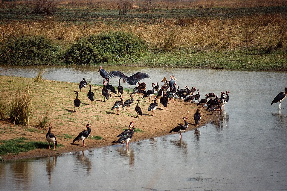
Our journey through the Central African Republic begins on the Ubangi River, visits forests in the southwest, then turns toward higher ground and northern savanna. Long distances, damaged roads and insecurity make these connections difficult.
Your route
Five places, one journey

Bangui
A river port far from the sea
Bangui faces the Democratic Republic of the Congo across the Ubangi. This landlocked country depends on river routes and roads through neighboring states for trade. French agents established Bangui in 1889; colonial companies extracted rubber and ivory using forced labor. The colony of Ubangi-Shari became independent in 1960. Christianity and Islam coexist with Indigenous religious traditions.
A river border can both divide governments and connect trading communities. When water levels fall or routes become unsafe, imported goods can cost more because there are few inexpensive alternatives.
Locate this stop on the map ↗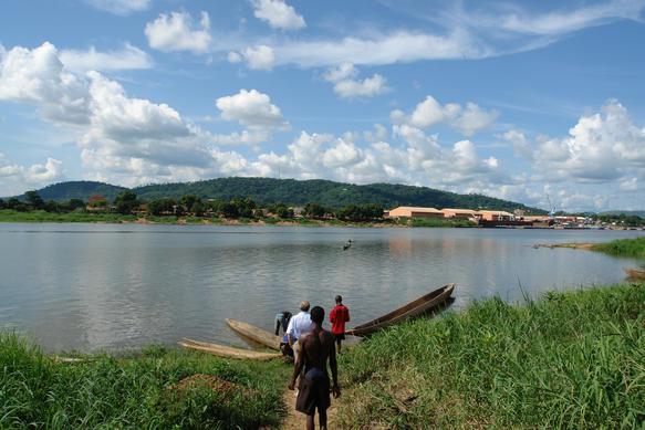
Boali
Water power and public services
Northwest of Bangui, waterfalls reveal the energy of moving water. Nearby hydropower supplies electricity, but limited networks leave many households without reliable service. Floods can damage homes and roads; dry periods reduce available water. Poverty, unsafe drinking water and shortages of health workers make preventable illness harder to treat. School access is uneven, especially for displaced children.
Locate this stop on the map ↗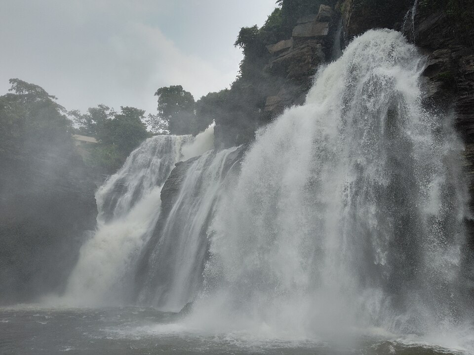
Dzanga-Sangha
Sharing a forest landscape
Southwest, dense rainforest surrounds Dzanga’s clearings, where forest elephants gather. BaAka communities have deep knowledge of this environment. Logging, hunting and conservation rules affect their livelihoods and rights. The Sangha Trinational protected area links this forest with Cameroon and Congo, so protecting wildlife and river systems requires cooperation across borders.
A bai is an opening in the forest where animals can reach water and minerals. Its visibility makes it valuable for research, while nearby forest offers cover and food.
Locate this stop on the map ↗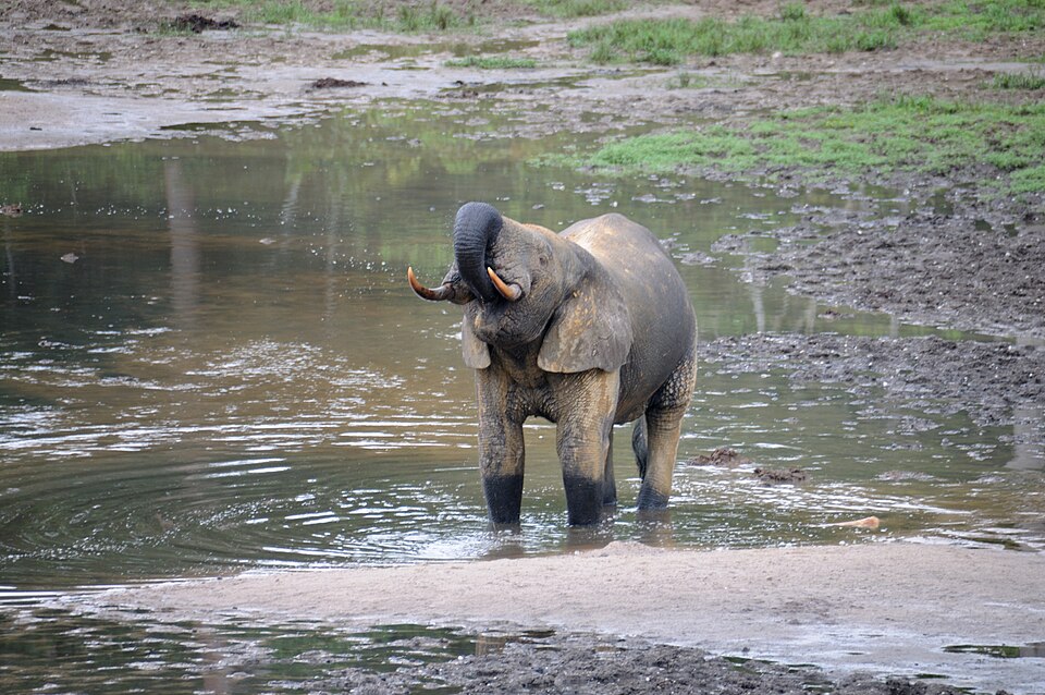
Bouar
Markets on an inland plateau
Turning north reaches Bouar and the western highlands. Cassava, maize and groundnuts feed families, while cotton, timber, gold and diamonds can earn income. Mining does not automatically produce good schools or clinics: revenue management, safer working conditions and secure roads matter. Rain can make unpaved routes hard to use, raising prices in distant markets.
Raw materials are only one part of an economy. Roads, bridges and power supplies are capital resources; knowledge and skills are human resources. All three need attention if mining or farming is to improve daily life.
Locate this stop on the map ↗
Bamingui-Bangoran
Savanna and a difficult peace
Farther northeast, grasslands and woodland have a longer dry season than the southern forest. Herders move livestock toward grazing and water; land-use disputes need fair solutions. Coups, an imperial dictatorship in the 1970s and later civil conflict damaged the country. Today voters elect a president and legislature, but power is concentrated and armed insecurity still limits daily life. Religious identity alone does not explain conflict.
Locate this stop on the map ↗