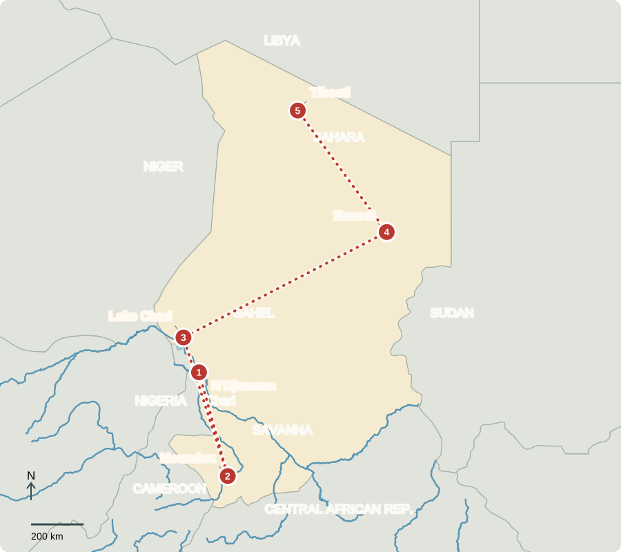
Our journey through Chad moves from the Chari River and southern farms toward Lake Chad, then across the Sahel to desert mountains. This landlocked country stretches across strong rainfall contrasts, and long transfers connect its regions.
Your route
Five places, one journey
N’Djamena
A capital at a river crossing
N’Djamena faces Cameroon across the Chari. Trade routes connect Chad to distant seaports. French conquest expanded around 1900 to control territory and trade; colonial cotton production served overseas markets. Independence came in 1960. Civil wars, coups and conflict with Libya followed. Elections resumed after the 2021 military takeover, but political competition remains constrained and public services face major needs.
Locate this stop on the map ↗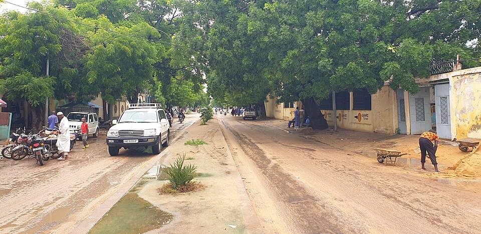
Moundou
Why missing rain matters
Southward, Moundou lies in wetter savanna country. Cotton, sorghum, millet and livestock support livelihoods. Many households rely on farming or herding: drought reduces harvests and pasture, cutting both food and income. Oil also earns export revenue, so agriculture is not the whole economy. Flooding, expensive transport and limited clinics add challenges; religious life includes Islam, Christianity and Indigenous traditions.
Food crops and cotton serve different purposes: grain feeds households and local markets, while cotton is sold for processing into fiber. A poor rainy season can harm both sources of security.
Locate this stop on the map ↗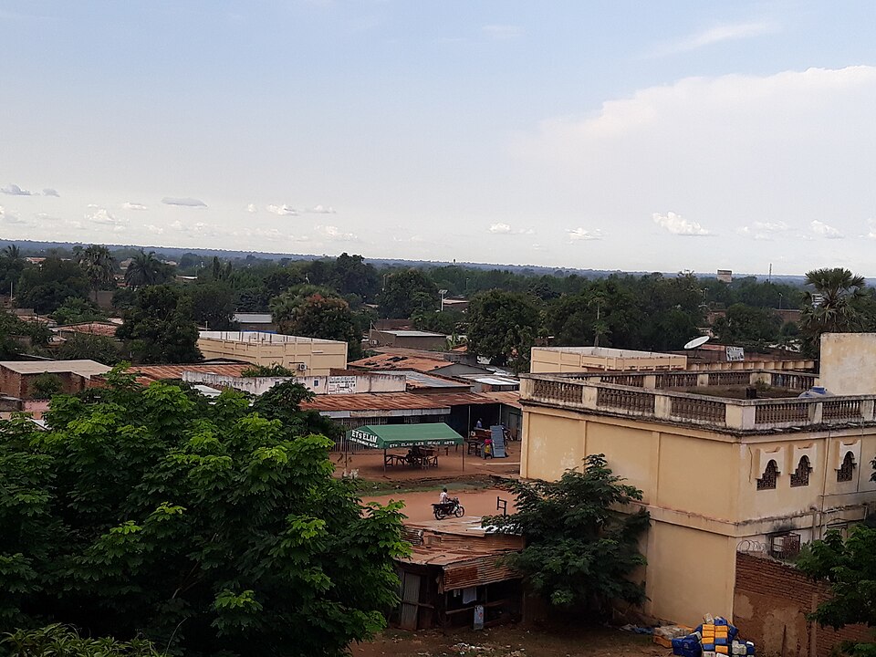
Lake Chad
A lake with moving edges
Turning northwest reaches shallow Lake Chad. Fishing, floodplain farming and herding depend on its seasonal waters. Severe shrinkage during earlier droughts was followed by partial recovery; the lake is not simply shrinking at a steady rate. Rainfall, river inflow and water use affect its extent. Chad, Cameroon, Niger and Nigeria need to coordinate water management, while armed violence disrupts livelihoods.
A shared lake cannot be managed effectively by one country acting alone. Water withdrawn upstream can affect fishers and farmers elsewhere, making information sharing important.
Locate this stop on the map ↗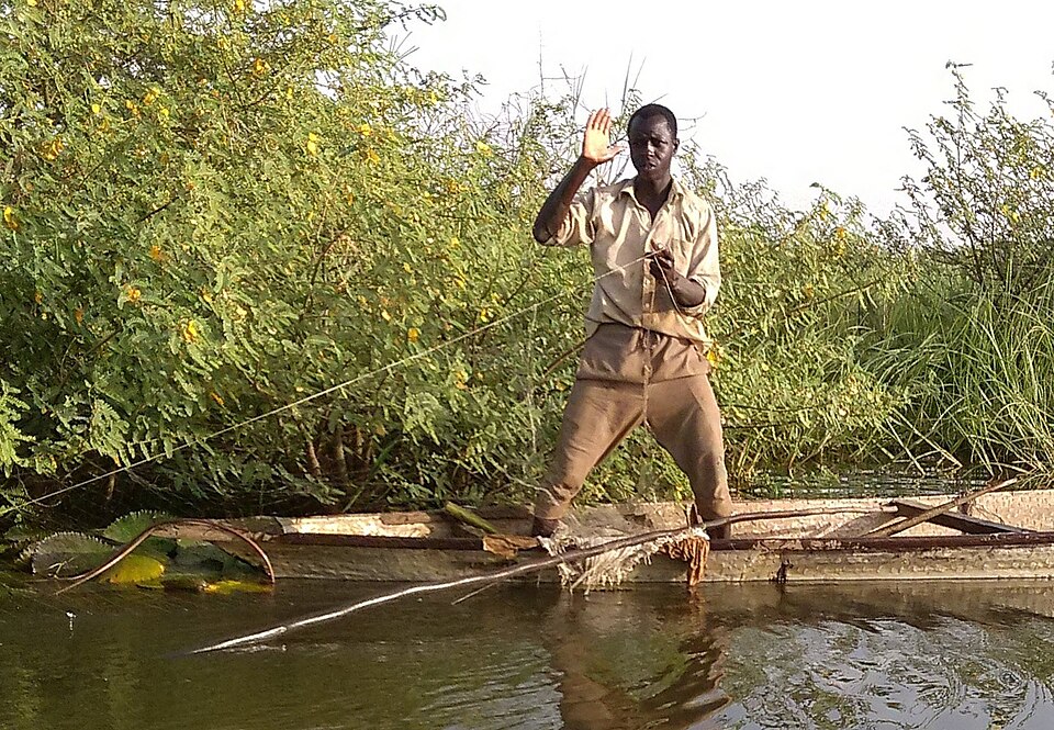
Ennedi
Water hidden among sandstone
Across the drier Sahel, Ennedi’s sandstone arches rise from the Sahara. Rock art records earlier people and animals; some canyon pools provide scarce water. Herders depend on grazing and water routes that do not always follow national borders. Refugees fleeing war in Sudan also increase the need for safe water, food, schools and health care in eastern Chad.
Locate this stop on the map ↗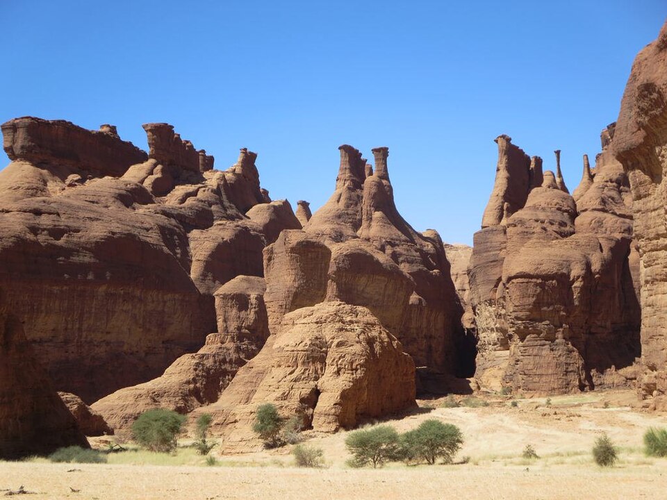
Tibesti
Mountains in the desert
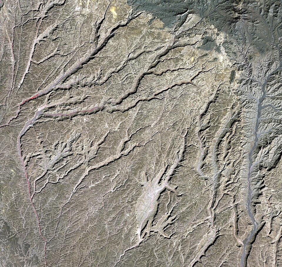
Farther northwest, Tibesti’s volcanic mountains rise above arid plains. Oases permit limited date growing, while pastoral communities adapt their movements to scarce resources. Gold mining offers income but can bring dangerous working conditions and disputes. Across Chad, investing oil and mineral revenues in health, education and dependable infrastructure could make livelihoods less vulnerable to shocks.
Pastoral movement is an adaptation to patchy rainfall and pasture. Fair access to land and water can help prevent disputes, while national borders complicate routes used over many generations.
Locate this stop on the map ↗