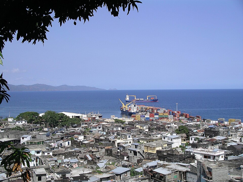
Our journey through Comoros begins on Grande Comore, then uses sea or air connections to Mohéli and Anjouan. These tropical islands lie between Mozambique and Madagascar. Mayotte is administered by France and claimed by Comoros.
Your route
Five places, one journey
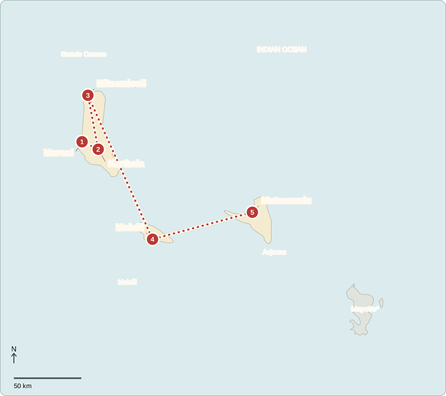
*Mayotte is administered by France and claimed by Comoros. Facts cover the three administered islands.
Moroni
A harbor facing the Indian Ocean
Moroni’s old harbor and mosques reflect long connections with East Africa and the wider Indian Ocean. Most Comorians are Muslim, though individual practices differ. Independence from France came in 1975. Voters elect a president who directs government and representatives to the Assembly of the Union, which makes laws. Elections provide formal choices, but opposition groups face restrictions. The islands also have their own institutions.
Comorian, Arabic and French are official languages. Different languages reflect the islands’ connections with nearby Africa, religious learning and French colonial rule. The Union administers three main islands; Mayotte is administered by France and claimed by Comoros.
Locate this stop on the map ↗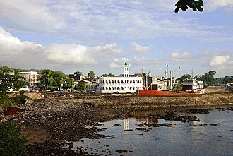
Karthala
A mountain that is still active
We move inland toward Karthala, the active volcano above Moroni. Forests cover its wetter slopes, sheltering distinctive birds. Eruptions can spread ash and disrupt water supplies. Porous volcanic rock lets rain sink underground, so abundant rainfall does not always mean easy access to drinking water. Rainwater tanks and improved storage help communities cope with shortages and changing weather.
Volcanic islands can have fertile soils, but steep slopes and young rock complicate farming and water storage. A wet climate alone does not guarantee a reliable household supply. Where water goes after rain matters as much as how much falls.
Locate this stop on the map ↗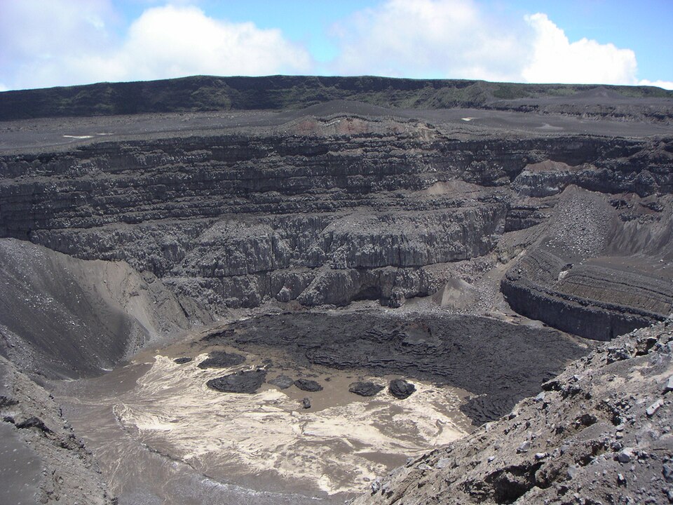
Mitsamiouli
Working beside the reef
Returning to the coast, we travel north to Mitsamiouli. Fishing boats, beaches and nearby reefs show how livelihoods depend on the sea. Fish and coconut accompany foods such as rice and cassava. Coastal tourism could create jobs, but communities need dependable electricity, transport and clean water. Protecting reefs helps both fish populations and the visitors drawn to the shoreline.
Reefs provide shelter and feeding grounds for marine animals. They also help reduce wave energy reaching parts of the shore. Dirty runoff and damaged reef habitat can therefore affect both a fishing catch and the beach supporting visitor businesses.
Locate this stop on the map ↗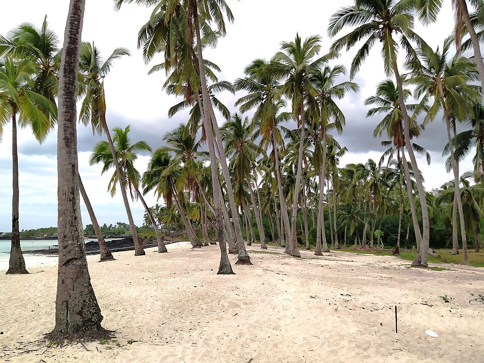
Mohéli
Turtles return to shore
An inter-island transfer brings us to Mohéli, also called Mwali. Green sea turtles nest on beaches, and surrounding waters support rich marine life. Community involvement helps protect nesting areas and manage fishing. Guided visits can bring income without harvesting the animals. Forests and reefs are connected: clearing steep slopes can wash soil into coastal water and damage habitats that fishers rely on.
A turtle nesting beach is only one part of its life. The animal also depends on feeding areas and safe movement through surrounding waters. Conservation must connect shore and sea, bringing fishers and coastal residents into decisions about protection.
Locate this stop on the map ↗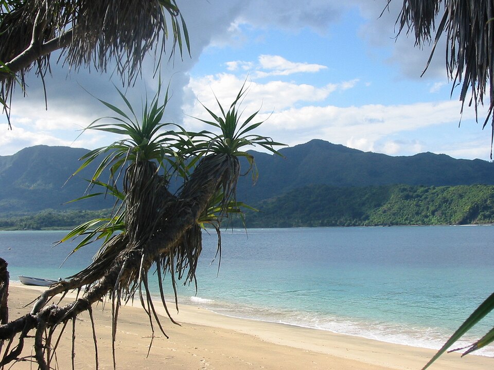
Mutsamudu
Scents carried across the ocean
Another transfer reaches Mutsamudu on Anjouan, also called Ndzuwani. Its port connects steep farming country with overseas markets. Cloves, vanilla and ylang-ylang flowers supply exports; the flowers are distilled into fragrant oil used in perfume. Farms also grow bananas and cassava. Limited land, soil erosion and costly imports make livelihoods vulnerable. Caring for hillsides supports both household food crops and valuable export plants.
Export plants earn money, but households also need affordable food. Distilling fragrant oil uses fuel and water, linking perfume production to forests and streams. More efficient equipment can help reduce pressure on resources that nearby farms and homes also need.
Locate this stop on the map ↗