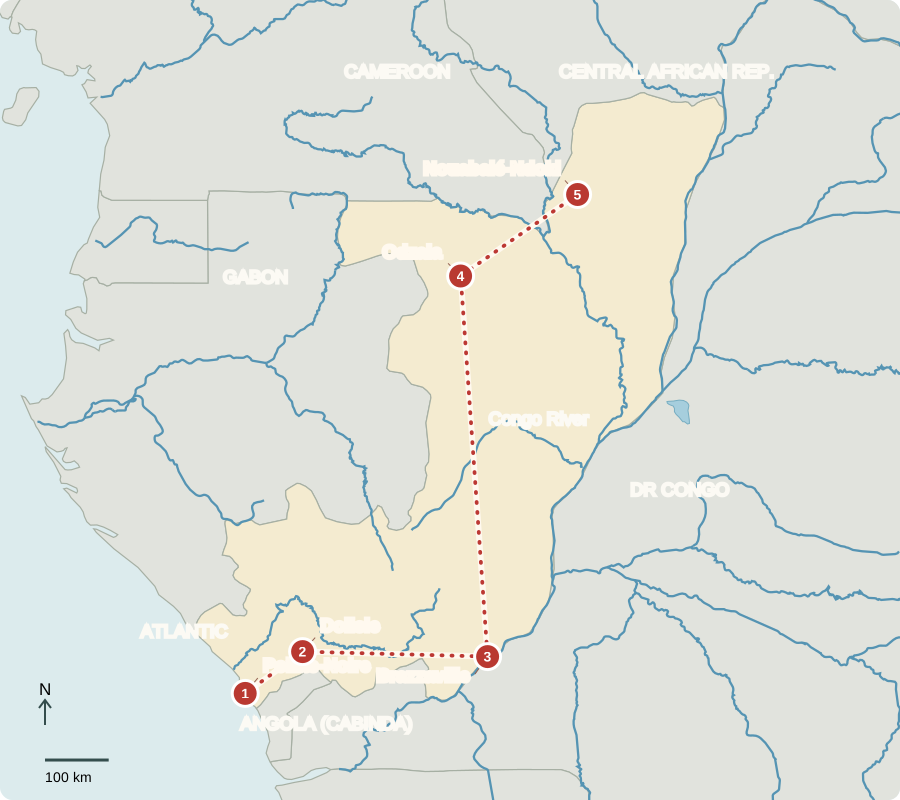
Our journey through Congo begins at the Atlantic, crosses wooded hills and reaches the Congo River before continuing into northern rainforest. This is the Republic of the Congo, distinct from its much larger neighbor across the river.
Your route
Five places, one journey
Pointe-Noire
A port linked to oil
Ships and offshore oil operations make Pointe-Noire an economic center. Oil brings export earnings, but changing prices can squeeze public spending. Fishing and trade also support households. Coastal erosion and pollution require careful management. Oil income has not removed poverty: better schools, clinics, clean water and jobs remain important public needs.
A log in a port yard represents more than a tree: it connects a forest concession, truck or railway journey, dock workers and an overseas buyer. Each stage raises questions about jobs and forest protection.
Locate this stop on the map ↗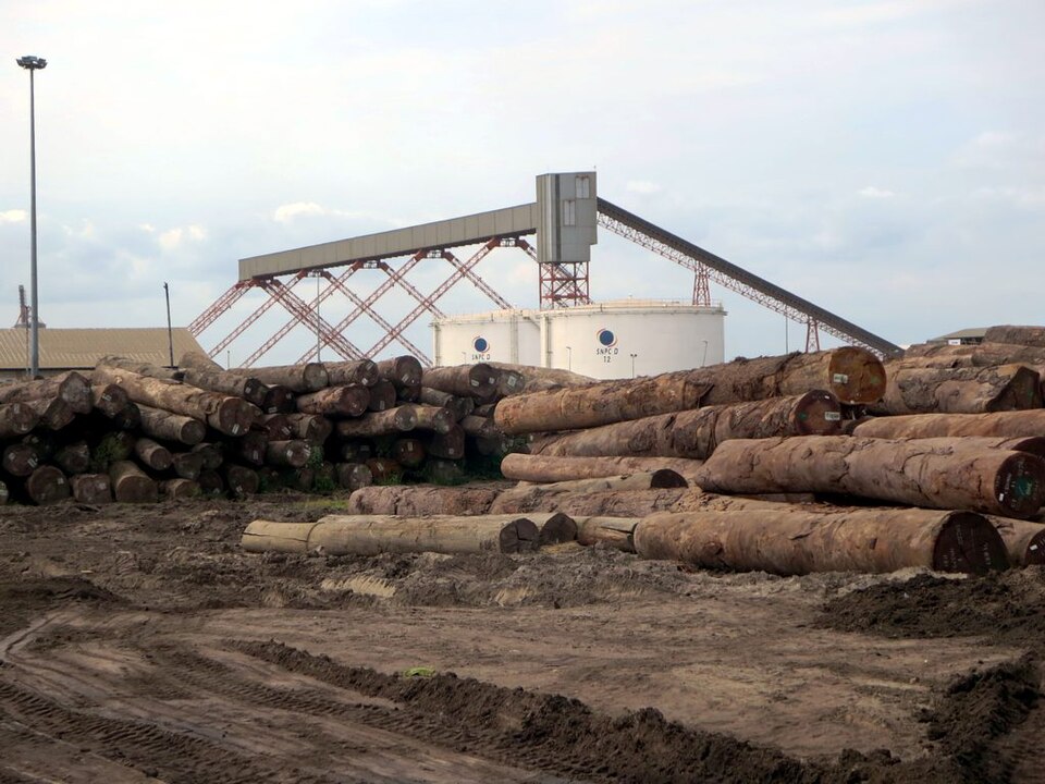
Dolisie
Crossing the wooded hills
Turning inland, the railway through Dolisie crosses the Mayombe hills. Built under French colonial rule with forced labor, it carried goods between the coast and Brazzaville. French control expanded from the 1880s to obtain trade, land and resources; independence came in 1960. Cassava, bananas and other crops supply towns, but transport costs and unreliable roads make food harder to market.
Locate this stop on the map ↗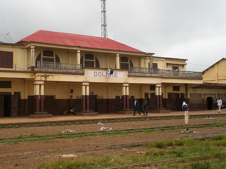
Brazzaville
Government beside the river
Brazzaville looks across the river to Kinshasa in the DRC. Ferries link the two capitals. Congo holds presidential and parliamentary elections, but power is concentrated in the presidency and opposition faces restrictions. Civil war in the 1990s and later fighting damaged communities. Christianity is widespread; Indigenous beliefs and Islam are also practiced. Lingala, Kituba and many local languages accompany official French.
The two countries share Congolese rumba, a musical and dance tradition shaped by exchanges across the river and the Atlantic. A political boundary separates their governments while everyday cultural connections continue.
Locate this stop on the map ↗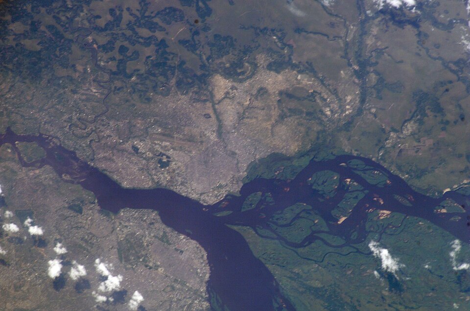
Odzala
Clearings within the forest
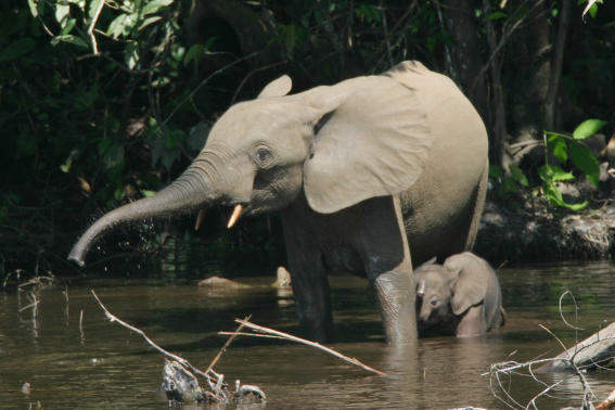
Far north, Odzala’s wet forest surrounds grassy clearings called bais. Forest elephants and western lowland gorillas use these openings. Protecting wildlife can support guiding and research, but conservation must also respect nearby communities’ livelihoods and rights. Logging roads can help people reach markets while opening forests to hunting and clearing.
Locate this stop on the map ↗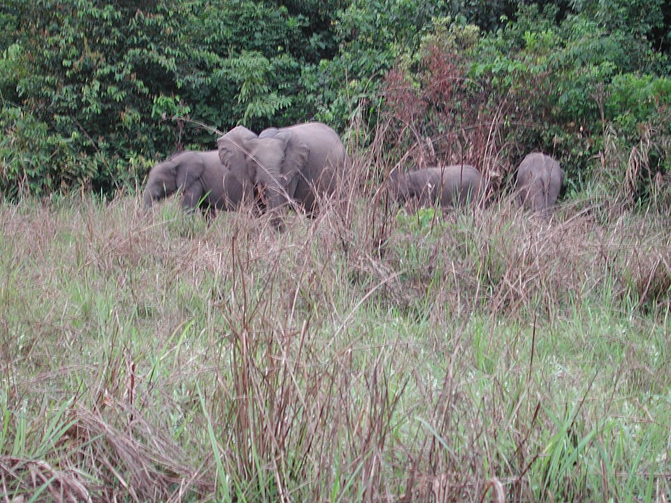
Nouabalé-Ndoki
A forest shared across borders
Continuing northeast reaches Nouabalé-Ndoki, part of the Sangha Trinational protected area shared with Cameroon and the Central African Republic. Animals and rivers cross national boundaries, so protection requires cooperation. Indigenous communities have detailed forest knowledge. Warm, rainy conditions shape travel: boats are useful, and keeping remote clinics supplied can be difficult when roads deteriorate.
Local knowledge helps people recognize useful plants and seasonal changes. Public decisions about forests should include the people who depend on them, rather than treating the landscape as empty land.
Locate this stop on the map ↗