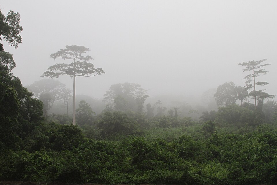
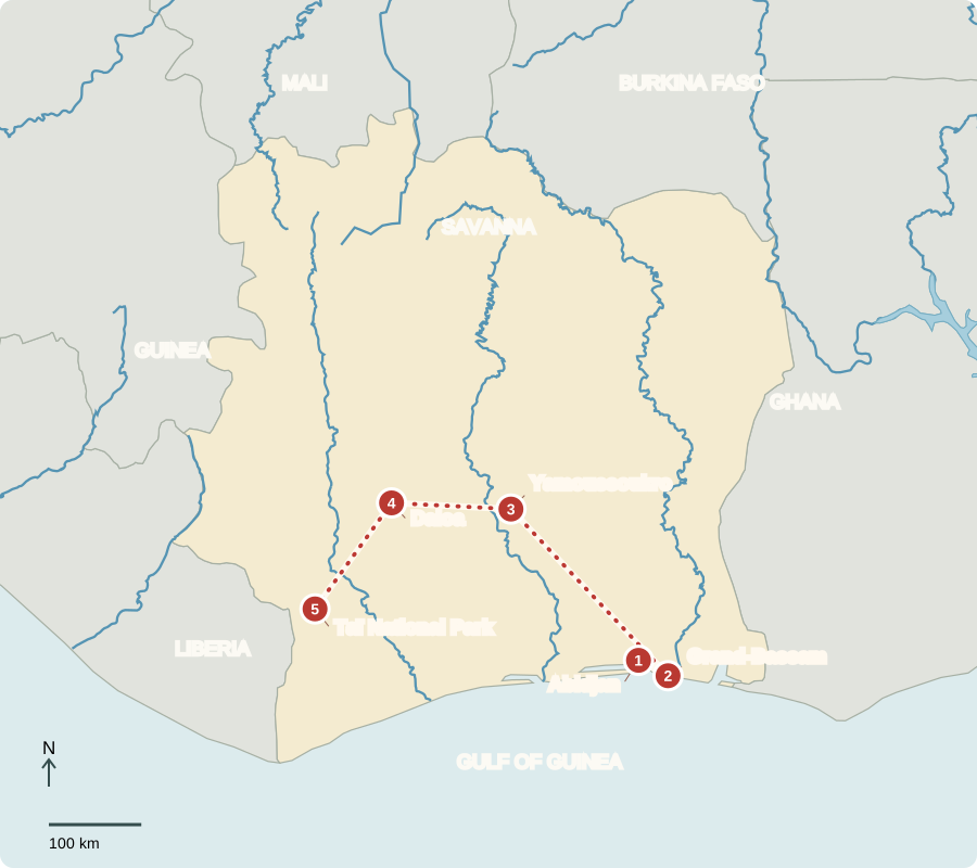
Our journey through Côte d’Ivoire begins beside coastal lagoons, turns inland through farming country, then ends near western rainforest. Roads and ports connect the regions.
Your route
Five places, one journey
Abidjan
Bridges across a lagoon
Abidjan’s bridges join busy neighborhoods around the Ébrié Lagoon. The country’s largest city is a business and port center, while Yamoussoukro is the official capital. Shipping, manufacturing and services support jobs alongside agriculture. Petroleum is another export. Economic growth has created opportunities, but many households still face poverty and unequal access to services.
A factory can turn local crops into goods worth more than the raw harvest. Ports, energy and workers’ skills help make that possible.
Locate this stop on the map ↗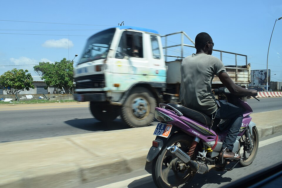
Grand-Bassam
A town with several histories
A short coastal journey leads to Grand-Bassam. Older buildings recall French colonial administration and Atlantic trade, while living communities continue local traditions. Independence came in 1960. Today the republic elects a president and legislature. French serves official purposes, but African languages remain widely spoken. Muslims, Christians and people following other traditions contribute to the country’s cultural life.
Preserving a building also preserves evidence: its materials, street position and design can show how people lived, traded and governed at different times.
Locate this stop on the map ↗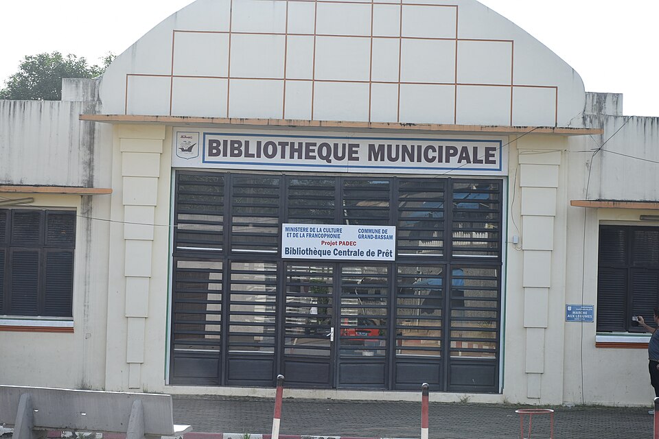
Yamoussoukro
An inland capital
Traveling north, we reach the official capital, known for its large basilica. The route passes from humid southern landscapes toward a more seasonal interior. Farther north, savanna and cashew orchards replace much of the forest-zone scenery. Farmers also grow yams, rice and maize. Geography helps explain why a single country can produce both forest crops and crops suited to drier conditions.
Moving inland changes more than scenery. The length of the dry season influences planting calendars, water needs and which trees or food crops farmers choose.
Locate this stop on the map ↗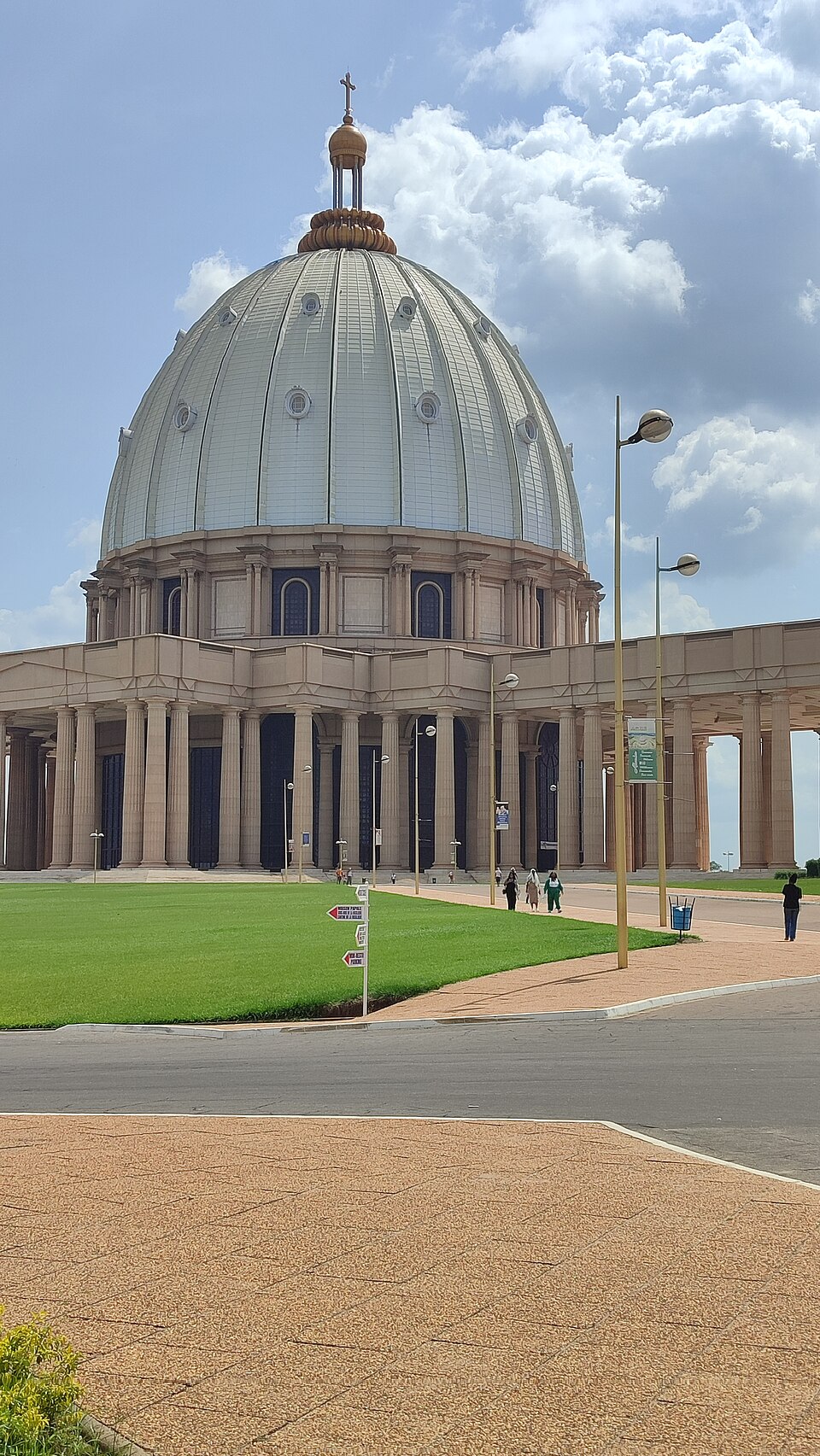
Daloa
Inside a cocoa pod
Turning west, we enter an important cocoa-growing region. Beans inside colorful pods are fermented and dried before becoming ingredients for chocolate. Warmth and rain favor cocoa, but drought, disease and changing prices threaten growers. Côte d’Ivoire and Ghana together supply a large share of the world’s cocoa. Cassava also becomes attiéké, a granular food often served with fish. Farms link local meals with global markets.
Cocoa does not grow as a ready-made chocolate bar. Harvesting, fermentation, drying, shipping and manufacturing involve many workers before chocolate reaches a shop.
Locate this stop on the map ↗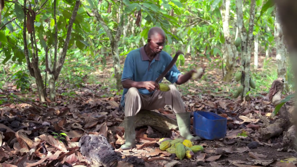
Taï National Park
Forest beyond the farms
Our final southern transfer reaches protected rainforest near Liberia. Chimpanzees and other wildlife depend on habitat that once covered much more of the region. Cocoa expansion and logging have reduced forests. Growing crops on existing farmland and protecting remaining woodland can help balance earnings with conservation. Rainfall supports agriculture, but healthy soils, fair prices and transport matter too.
Rainforest habitat crosses modern borders, while protection is organized through governments and communities. Cooperation can help conserve wildlife beyond the edge of one park.
Locate this stop on the map ↗