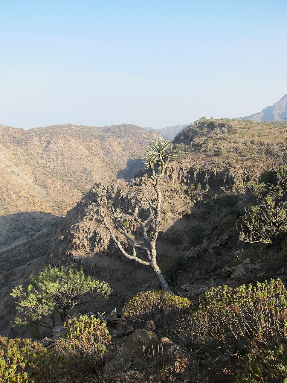
Our journey through Djibouti begins beside busy sea lanes, crosses hot, dry volcanic country and finishes in cooler mountains. Scarce freshwater shapes daily life in this small Horn of Africa country.
Your route
Five places, one journey
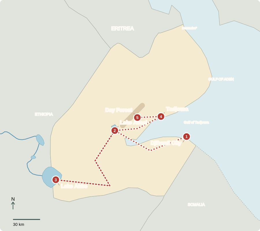
*Doumeira marks an unresolved border dispute with Eritrea. Route lines are not roads.
Djibouti City
A small country with a big gateway
Ships carry goods through ports near the capital, close to the entrance to the Red Sea. Roads and a railway connect landlocked Ethiopia to the coast. Port services and transport therefore create much of Djibouti’s income. Voters elect the president and National Assembly; the president directs government. Somali and Afar communities bring their own languages and traditions to city life.
This location links the country’s economy to its neighbors and to distant ships. A port needs cranes, storage, workers and onward transport. Its usefulness depends on this whole system, not just on having a sheltered place beside deep water for vessels.
Locate this stop on the map ↗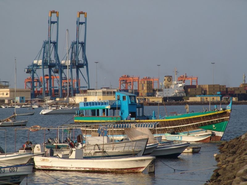
Lake Assal
Salt left behind
Driving west, we reach Lake Assal, below sea level. Water evaporates quickly in the heat, leaving concentrated salt behind. Salt harvesting connects the striking white shoreline to work and trade. Volcanic ground and faults reveal a region where tectonic plates are pulling apart. Drinking water must come from other sources: this salty lake cannot supply it directly.
Evaporation removes water but leaves dissolved salts behind. Continued loss of water makes the remaining lake increasingly salty. The same heat that helps produce salt also makes life difficult for people and livestock, linking a valuable resource with a demanding environment.
Locate this stop on the map ↗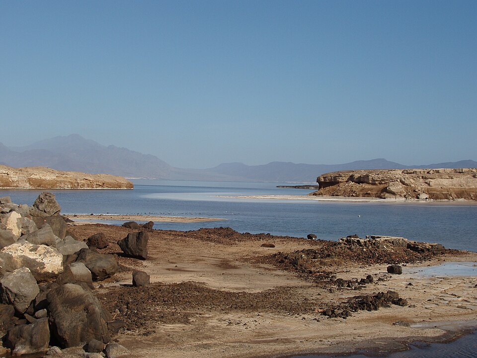
Lake Abbe
Stone chimneys and herds
A long road journey southwest reaches Lake Abbe on the Ethiopian border. Mineral-rich hot springs helped build its tall limestone chimneys. Afar pastoralists move livestock to find water and grazing. Drought can reduce both, threatening animals and household food supplies. Arid conditions limit crop farming, so Djibouti imports much of its food.
Mobile herding is an adaptation to scattered resources. When grazing or water runs short in one place, movement can help animals survive. Severe drought, however, may affect a much wider area, leaving families with fewer places to go and fewer animals to sell.
Locate this stop on the map ↗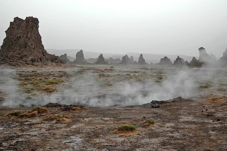
Tadjoura
A town facing the gulf
We return northeast around the gulf to Tadjoura. White buildings face the sea, recalling a long history of coastal trade. Fishing and port activity offer livelihoods; beaches and marine life attract some visitors. Tourism could create more work, but heat, freshwater shortages and the cost of transport limit expansion. Most residents are Muslim, and mosques are part of the townscape.
A coastal town and an inland herding area depend on different resources, but trade connects them. Food and other goods must reach both. Dependence on imported food means that disruptions to shipping or rising prices can affect household budgets far from the port.
Locate this stop on the map ↗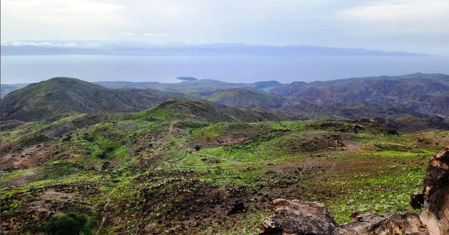
Day Forest
A cool refuge
Climbing into the Goda Mountains brings cooler air and a remnant mountain forest. The Djibouti francolin, a rare bird found only in this country, depends on this small refuge and nearby woodland. Drought and grazing pressure threaten its habitat. Protecting trees and working with local herders can help. The forest shows why a desert country is not the same landscape everywhere.
Elevation creates a small pocket of different conditions within a largely dry country. When a species lives in only a limited area, damage to that habitat is especially serious. Protecting the forest means considering both the bird’s needs and nearby people’s use of land.
Locate this stop on the map ↗