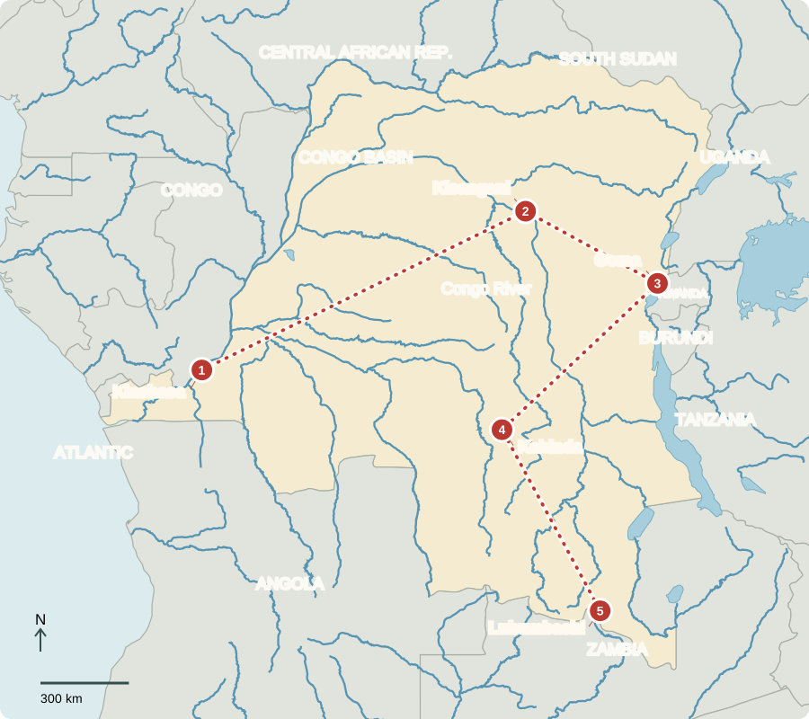
Our journey through the Democratic Republic of the Congo follows the river basin before turning toward the eastern highlands and southern mines. These distant places require long transfers; conflict restricts movement in some regions.
Your route
Five places, one journey
Kinshasa
Two capitals across a river
Kinshasa faces Brazzaville, capital of the separate Republic of the Congo. Downstream rapids interrupt boat travel, so roads and rail connect this enormous city with Matadi port and the country’s short Atlantic coast. The DRC is not landlocked. Voters elect a president and parliament; a prime minister also heads government. Many households still lack reliable electricity and health care.
On a map, the country’s narrow western outlet contrasts with its broad interior. This helps explain why a river port and a railway connection matter so much to goods moving across such a large territory.
Locate this stop on the map ↗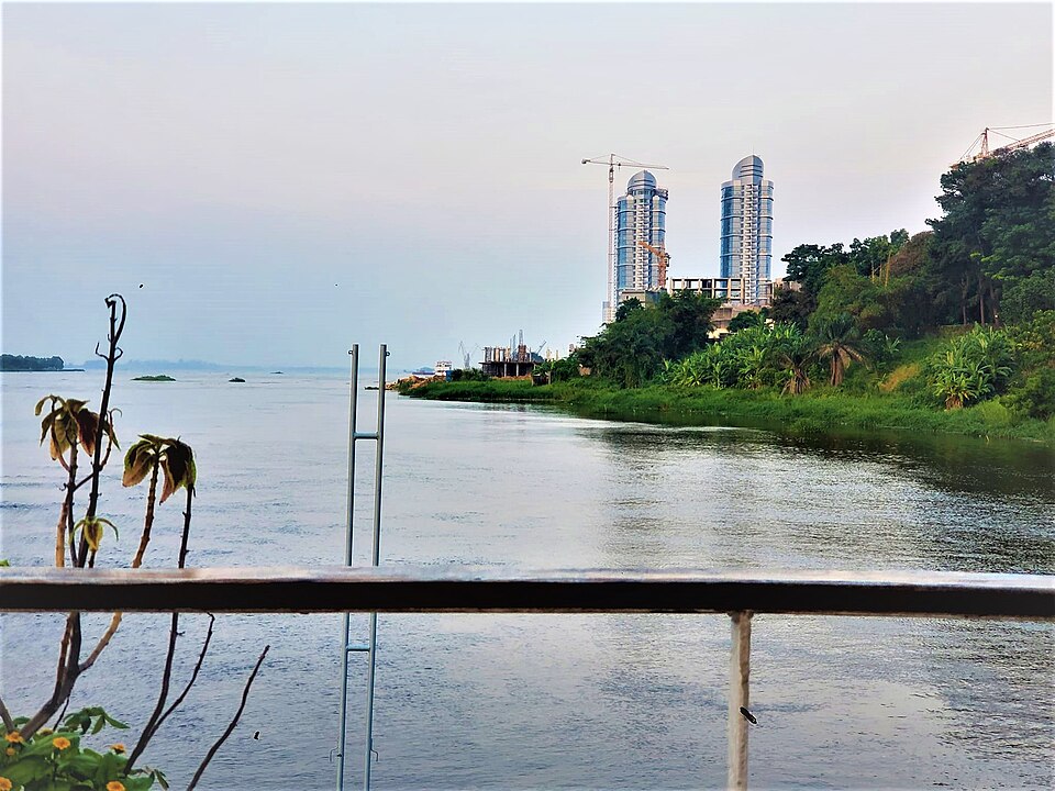
Kisangani
A forest river as a highway
Upstream, Kisangani connects river transport with the forest interior. Heavy rain supports rainforest, while cassava and plantains feed communities. Clearing trees threatens habitats and stored carbon. European agents entered the interior in the late 1800s seeking rubber and ivory. Forced labor under the Congo Free State began in 1885; Belgium took control in 1908. Independence came in 1960.
Rivers can connect places where roads are scarce, but rapids divide navigable stretches. Forest foods, fishing and small farms remain important even when national export totals are dominated by minerals.
Locate this stop on the map ↗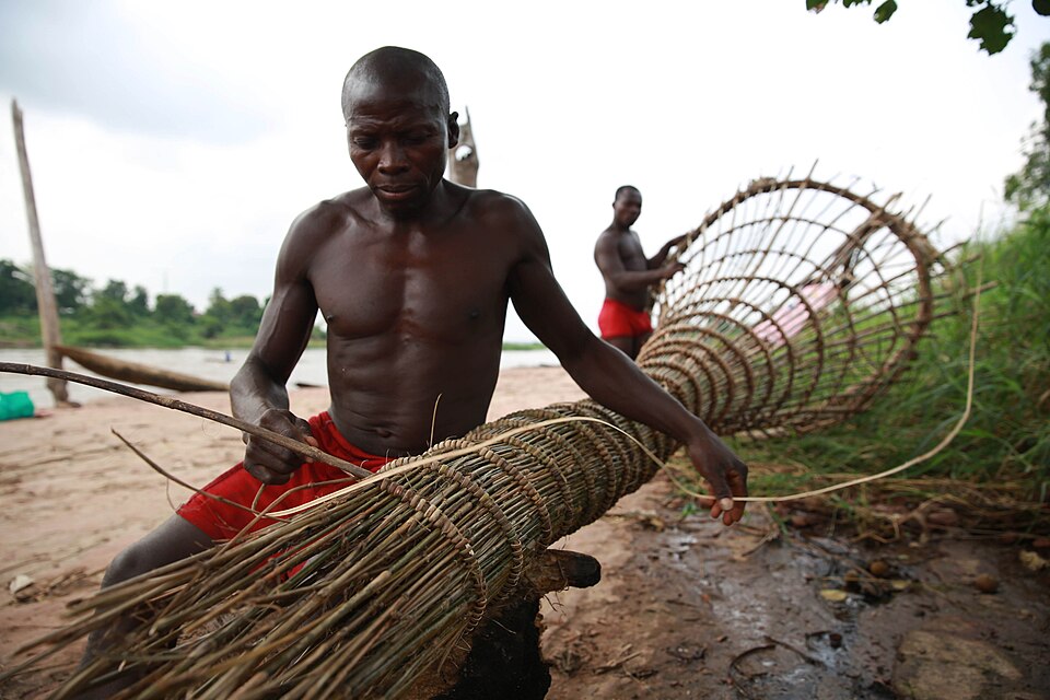
Goma
Where mountains meet the lake
Eastward, Goma lies beside Lake Kivu and volcanic mountains. Fertile soils attract farmers, but eruptions and earthquakes threaten homes. Armed conflict has displaced families and interrupted schools, markets and medical care. The causes include struggles over power, land and resources and involvement by neighboring states; cultural difference alone does not explain the violence.
Locate this stop on the map ↗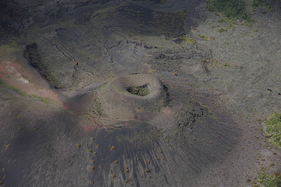
Kabinda
Patterns with a purpose
Turning southwest brings us into a region of Songye communities. Their wooden kifwebe masks have pigment and strong striped patterns. Members of the bwadi bwa kifwebe society used masks in performances connected with authority and community life. Features signaled different roles; meanings were more than decoration. The linked museum example has an angular face and contrasting grooves.
View the lesson’s museum object
Locate this stop on the map ↗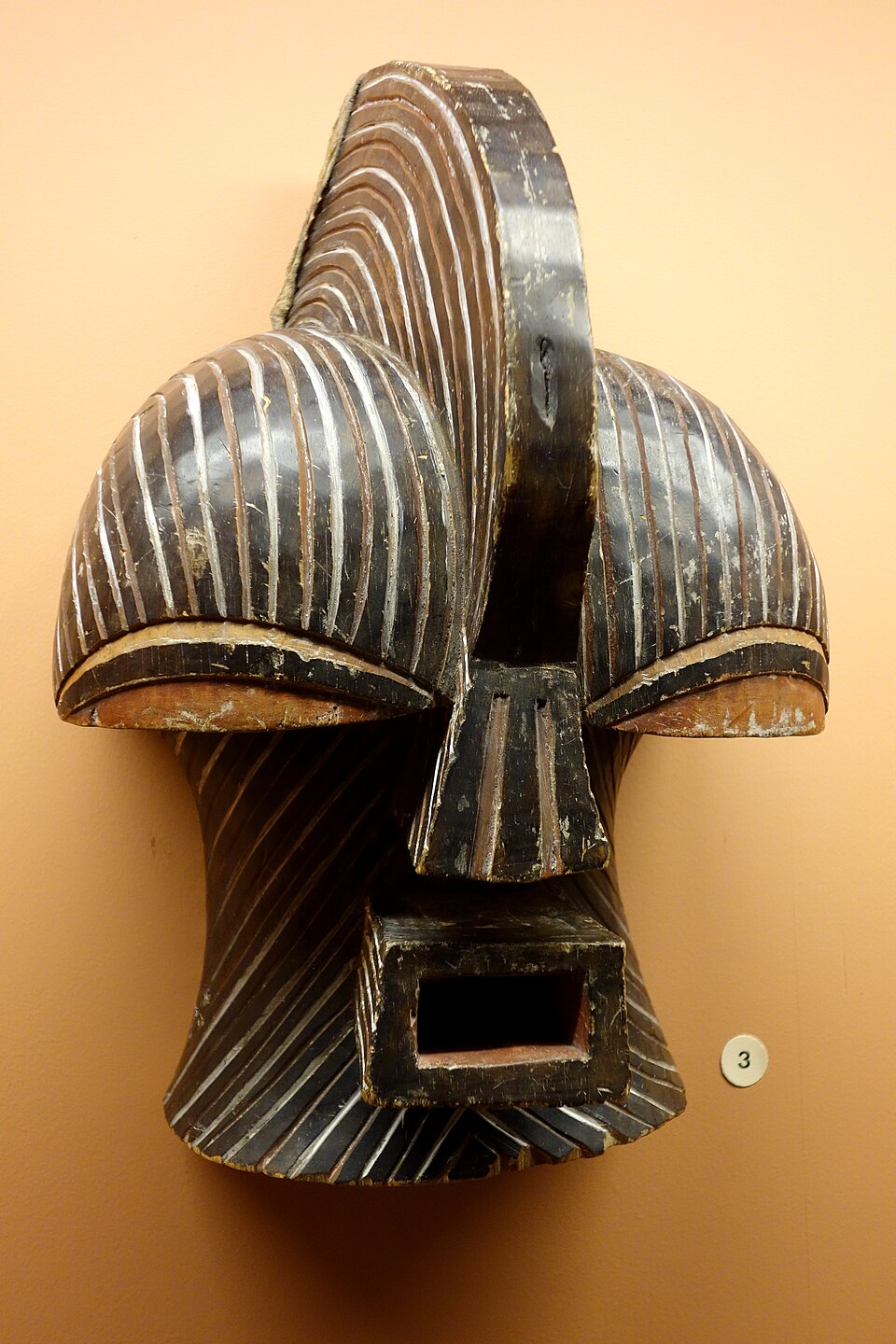
Lubumbashi
Metals and everyday needs
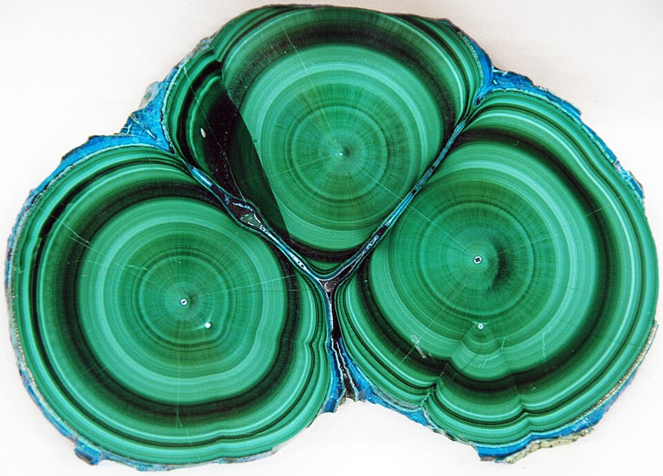
Farther south, the copper belt supplies copper for wiring and cobalt for rechargeable batteries. Mining earns export income, but polluted water, unsafe work and unequal benefits demand attention. Roads, trained workers and dependable power matter as much as minerals. Christianity is widespread alongside Indigenous beliefs and other faiths; many languages and musical traditions, including Congolese rumba, connect city life with wider communities.
A battery’s metal passes through many stages between a mine and a finished product. Processing, safe transport and skilled work determine how much value stays near the communities where extraction begins.
Locate this stop on the map ↗