
Our journey through Egypt begins beside the Mediterranean. After a detour to the Suez Canal, we follow the Nile south, traveling upstream. Watch how a narrow ribbon of water supports cities and farms amid desert.
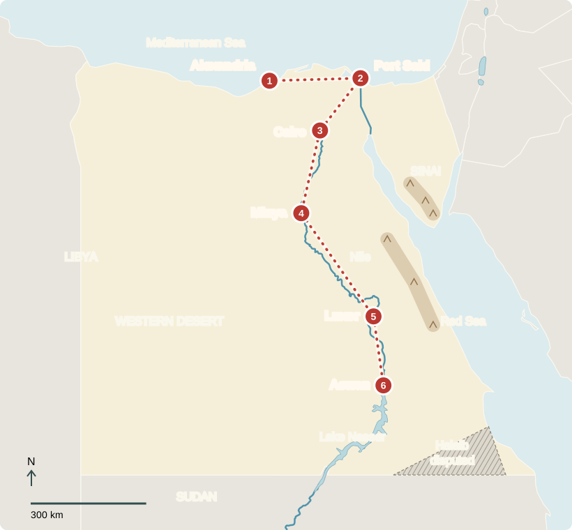
Your route
From the sea to the Nile Valley
Alexandria
A city facing the sea
Along Alexandria’s waterfront, fishing boats share the harbor with a much larger trading world. Egypt’s ports send goods abroad and bring in supplies, including wheat. Behind the coast spreads the Nile Delta, where the river branches toward the sea. Its farmland and cities form a broad green triangle on satellite maps, sharply different from the surrounding desert.
Sea breezes make the waterfront feel different from the hot interior. Fishing, shipping, shops, and services all help support this large city.
Locate this stop on the map ↗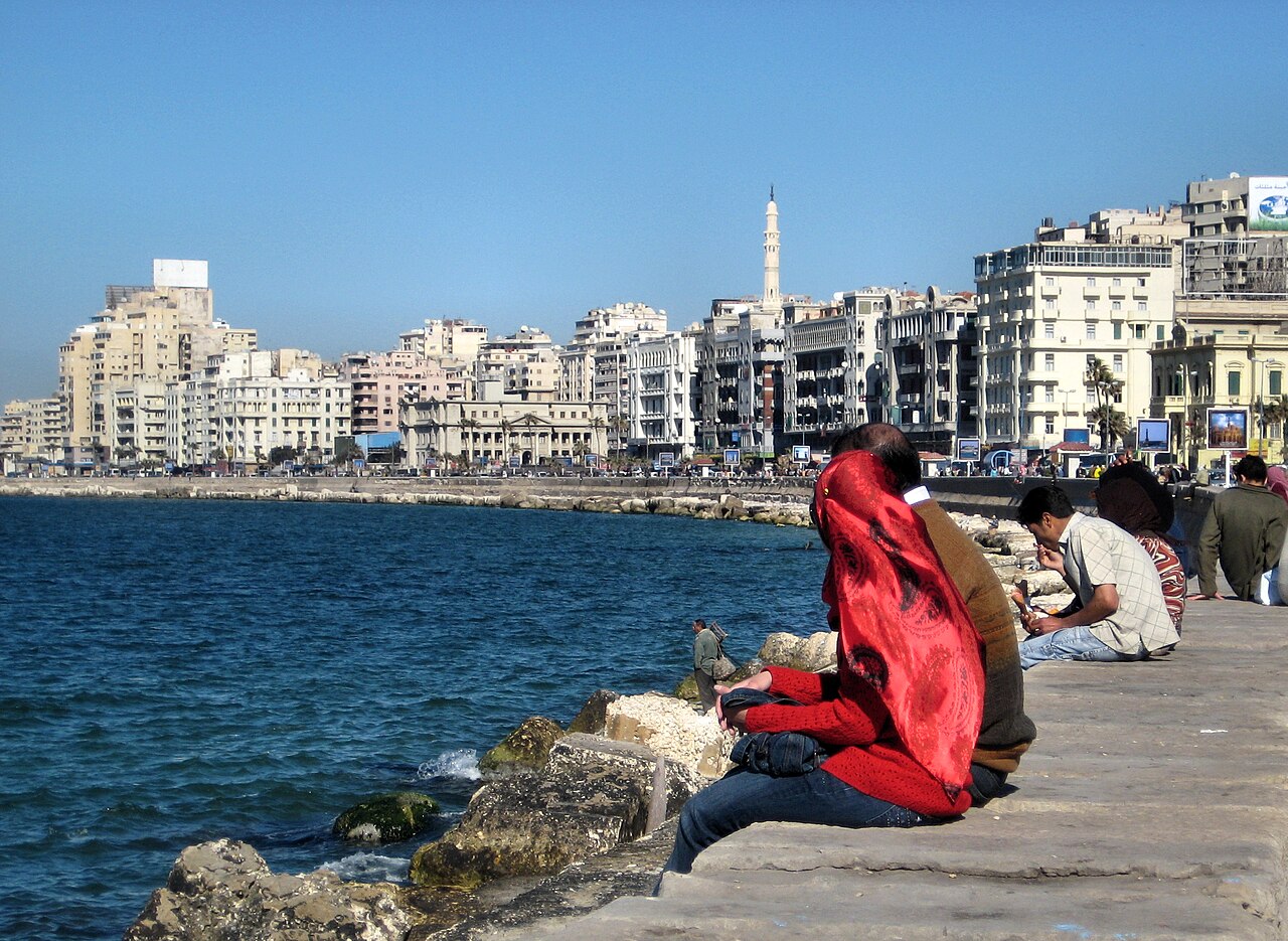
Port Said
A shortcut between seas
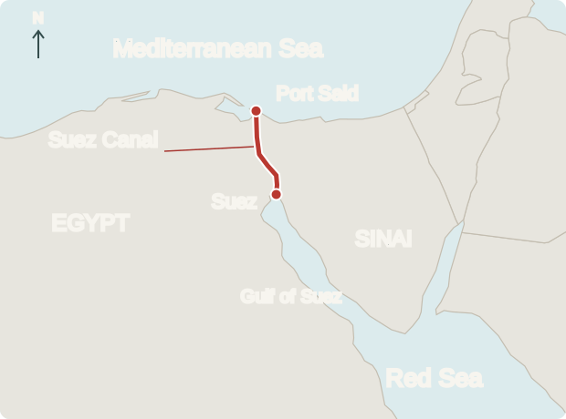
East at Port Said, ships enter the Suez Canal. This human-made waterway connects the Mediterranean and Red Sea, shortening voyages between Europe and Asia. Ships pay to pass, earning income for Egypt. Across the canal lies Sinai: Egypt reaches from northeastern Africa into Asia. The canal’s importance comes from this meeting point of continents and seas.
Locate this stop on the map ↗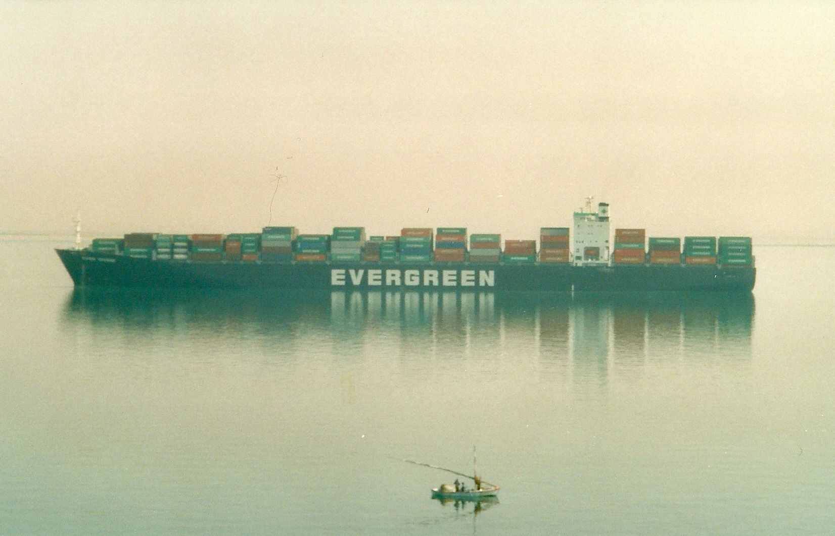
Cairo & Giza
Ancient monuments, modern city
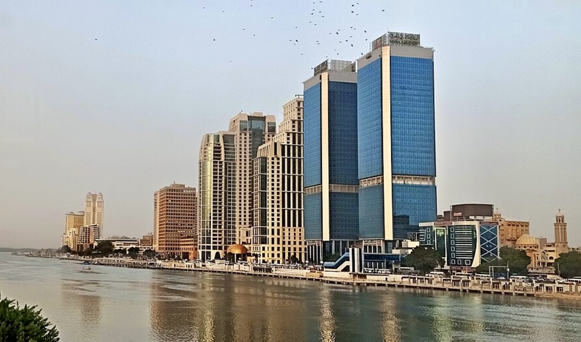
We turn southwest to Cairo, where metro trains move beneath crowded streets. Arabic is the main language. Most Egyptians are Muslim; Christians, including Copts, form an important minority. Egypt has elections, but the president holds strong power and political freedoms are restricted. Across the Nile, Giza’s pyramids—ancient royal tombs—rise beside the Sphinx, a stone lion with a human head. For lunch, koshari combines rice, lentils, pasta, and tomato sauce.
Children head to school through neighborhoods that range from older streets to newer developments. Football is a familiar pastime, but family routines and opportunities vary widely.
Locate this stop on the map ↗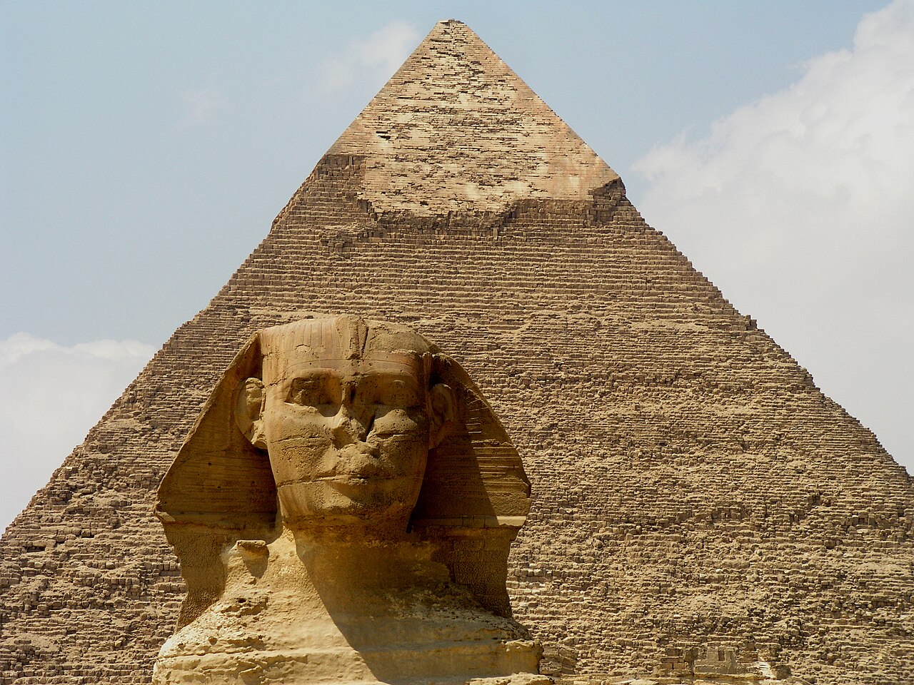
Minya
Fields beside the desert
Heading south along the Nile, we pass Minya’s farmland. Canals carry river water to crops such as wheat, maize, and sugar cane. Rain is scarce, so irrigation makes these fields possible. Egypt also exports fruit and vegetables. Most people live close to the Nile or its delta because desert land beyond them has so little dependable water.
Irrigation water is shared among farms, growing cities, and industry. Using it carefully matters because the same river must meet many needs.
Locate this stop on the map ↗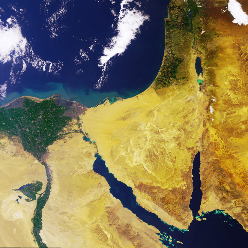
Luxor
Old stones, present-day jobs
Farther upstream, Luxor’s temple columns rise above the city. They survive from ancient Thebes, once a powerful capital. Today, these monuments support work for guides, boat crews, hotel staff, and craftspeople. Protecting old buildings also protects livelihoods. Tourism brings income, but fewer visitors can quickly mean less work for families.
Locate this stop on the map ↗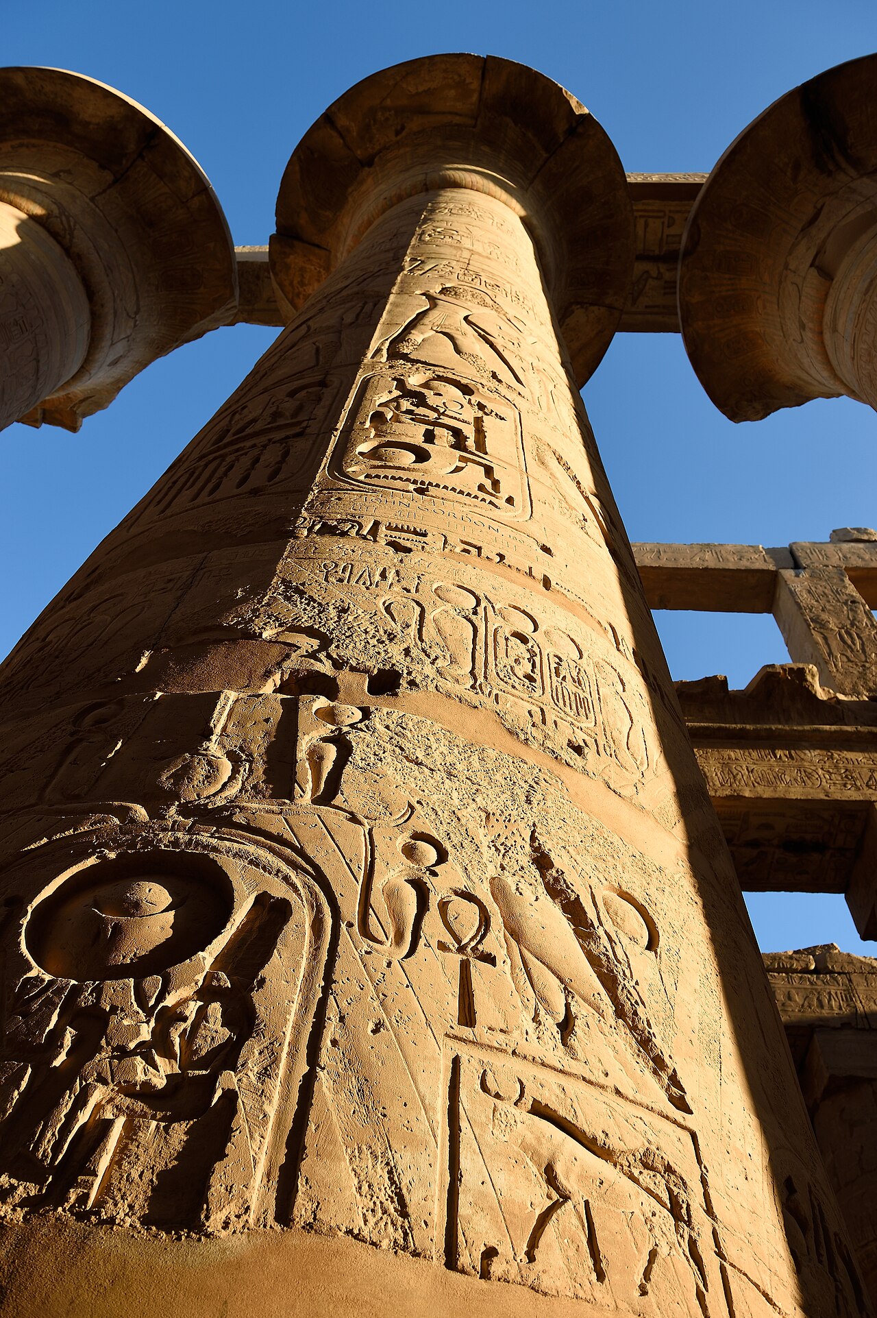
Aswan
Holding back the river
Our last stop is Aswan, where sailboats move between rocky islands. Nubian communities have distinctive languages and traditions. The High Dam stores water in Lake Nasser and generates electricity. Its reservoir also flooded settlements, forcing many Nubians to relocate. Temples were moved to higher ground. This landscape shows how a major engineering project can bring benefits while changing people’s homes and lives.
Downstream, controlled releases help supply farms beyond the old flood season. But the dam also traps much of the sediment that once traveled along the river.
Locate this stop on the map ↗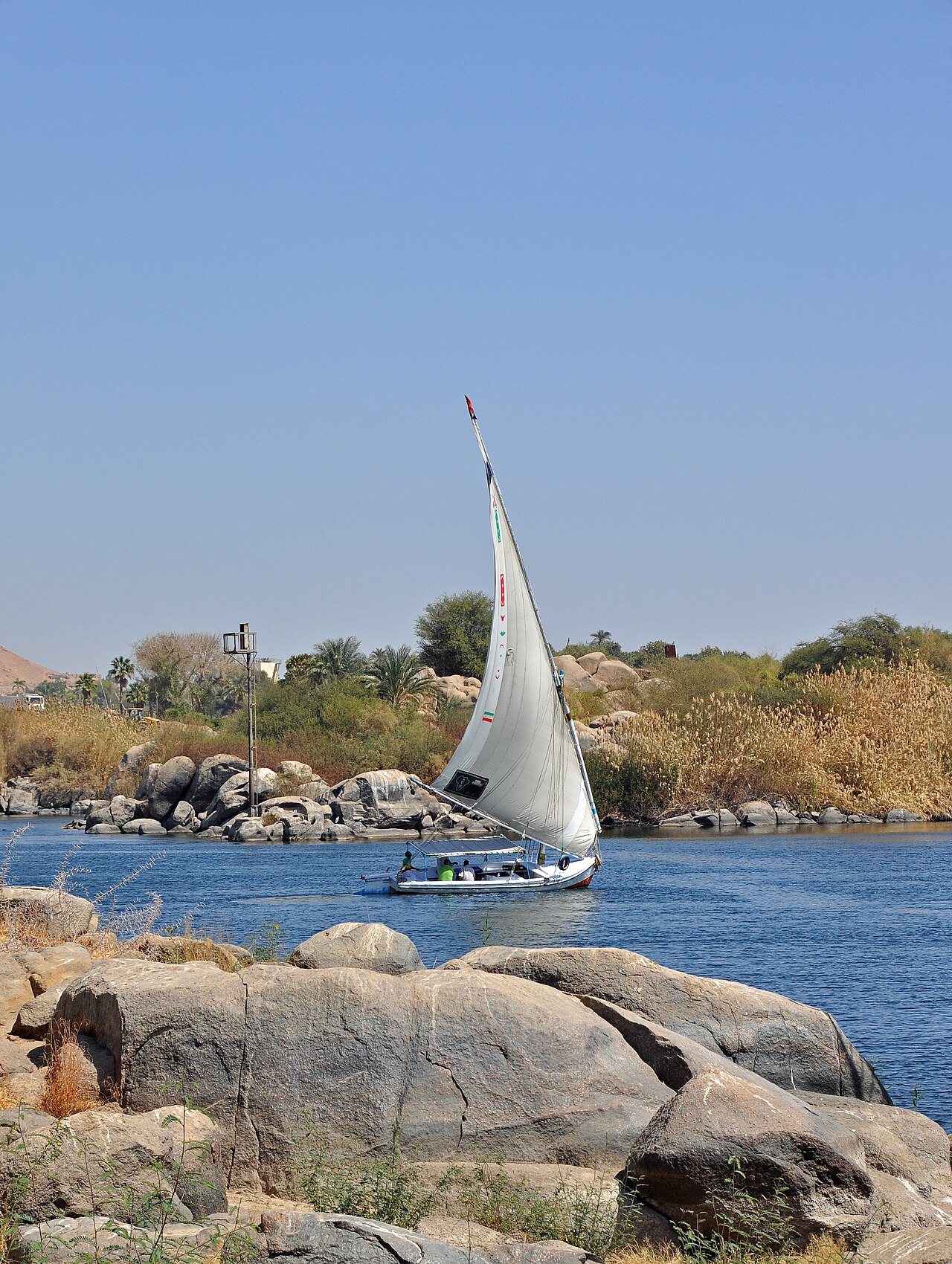
From canal ships to palm-lined fields, water connects Egypt’s work, food, and daily life.