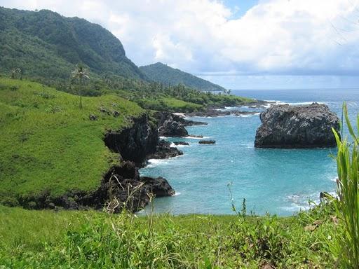
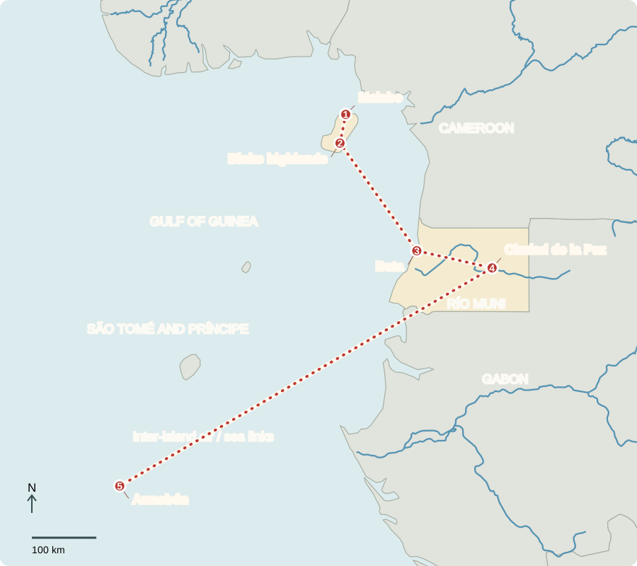
Our journey through Equatorial Guinea connects Bioko Island with the mainland and distant Annobón. Flights or sea crossings separate these places; the country’s islands and mainland cannot be understood from a single city.
Your route
Five places, one journey
Malabo
An island capital’s changing role
Malabo, on Bioko, was the capital until January 2026, when Ciudad de la Paz on the mainland became the official capital. Government relocation is gradual. Offshore oil and gas transformed export earnings, but declining production exposes the need for other livelihoods. Wealth is unevenly shared, and many families still need better health services and job opportunities.
A market stall depends on links among growers, fishers, transport workers and customers. Keeping food affordable requires more than the export earnings shown in national economic totals.
Locate this stop on the map ↗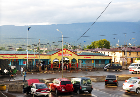
Bioko highlands
Rain, slopes and cocoa
Inland, volcanic slopes rise into rainy forest. Cocoa plantations link the island’s climate to its colonial economy. Portuguese sailors arrived in the 1470s; Spain acquired territorial rights in 1778 and later developed plantation production using coercive labor systems. Independence came in 1968. Bananas, cassava and other foods also grow here; cocoa does not occupy all farmland.
Plantations changed land use and labor patterns. The continued use of Spanish reflects colonial history, while Bubi and other local languages carry much older community histories.
Locate this stop on the map ↗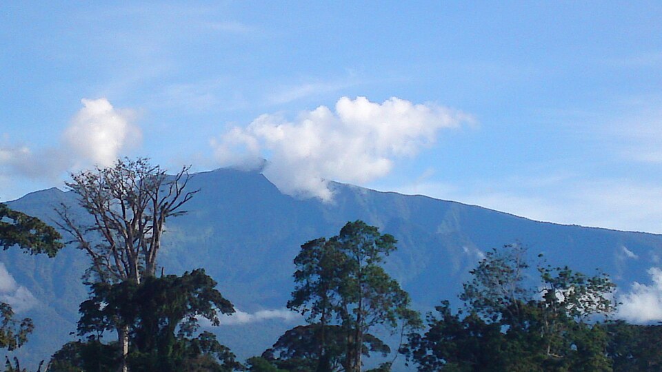
Bata
The mainland’s largest city
Across the sea, Bata’s markets and port serve Río Muni, the mainland region bordered by Cameroon and Gabon. Timber and trade provide income alongside petroleum. Roads and electricity need maintenance, while education and training help people find work beyond oil. Fang communities predominate on the mainland; Bubi communities have deep roots on Bioko. Christianity is widespread, with other beliefs also practiced.
Locate this stop on the map ↗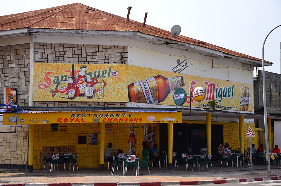
Ciudad de la Paz
Building an inland capital
The planned capital lies east of Bata in forest country. New roads and buildings raise a practical question: how can public investment also improve ordinary homes, schools and clinics? The country has presidential and parliamentary elections, but power is tightly concentrated and political competition is restricted. A 1979 coup replaced an earlier repressive dictatorship; elections alone do not guarantee an equal public voice.
Locate this stop on the map ↗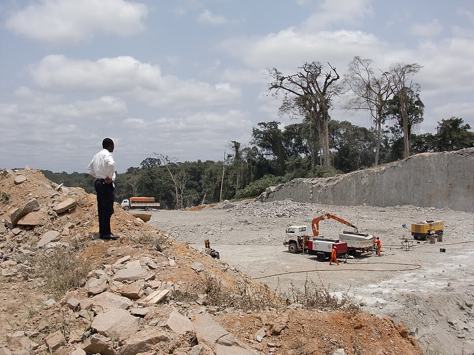
Annobón
An island far to the south
Our final island lies south of the Equator, separated from the mainland by hundreds of kilometers of ocean. Fishing supports local meals and income, while distance makes transport and supplies costly. The local language, Fa d’Ambô, reflects Portuguese influence. Protecting coastal waters and forest habitats matters to island livelihoods as well as wildlife.
An island’s fishing grounds are a renewable resource only if fish populations can recover. Transport services, refrigeration and careful harvesting can help communities benefit from the sea without exhausting it.
Locate this stop on the map ↗