Our journey through Eritrea begins in cool highland Asmara and reaches the hot Red Sea coast. Roads and sea links connect these contrasting environments. Travel is restricted, so this route is a geographic guide.
Your route
Five places, one journey
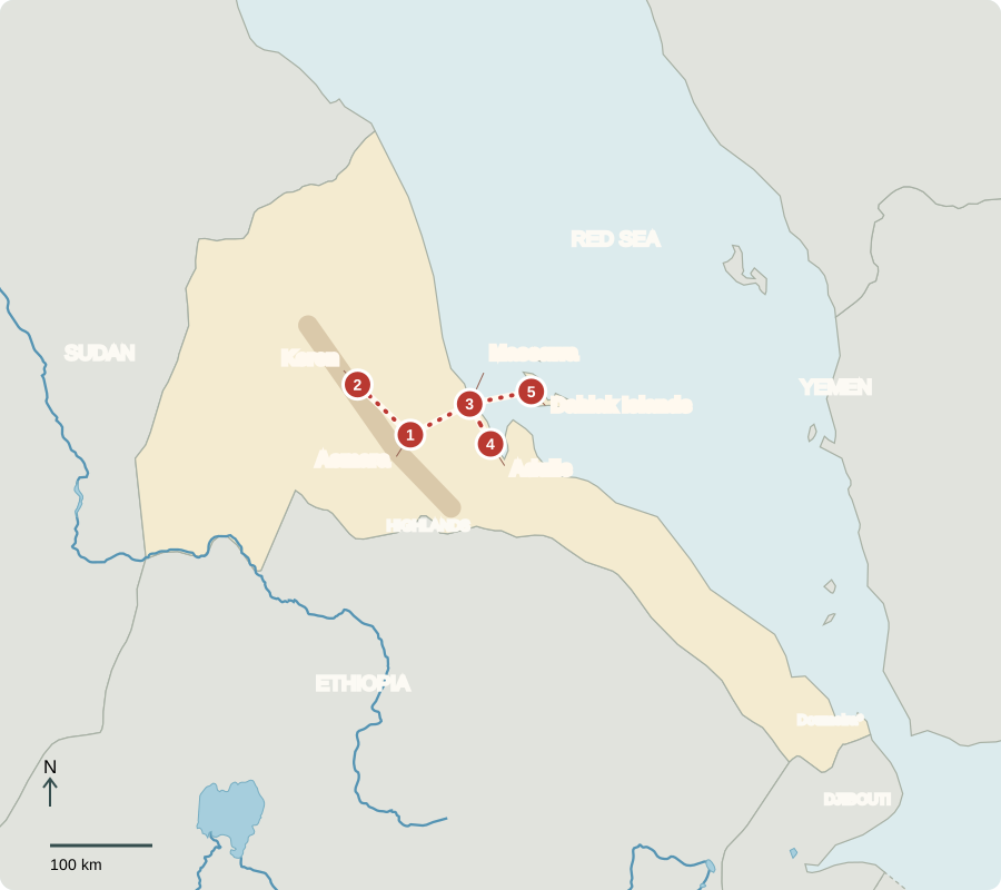
*Doumeira marks an unresolved border dispute with Djibouti. Sea transfer to Dahlak.
Asmara
A city above the heat
Asmara stands more than 2,000 meters above sea level. Its striking cinemas and garages reflect Italian colonial building, which also imposed racial segregation. Eritreans later made these places part of their own city. Independence from Ethiopia came in 1993. Today, one party controls government; no national election has been held since independence, and the president exercises extensive power.
The change in elevation helps explain why this city feels cooler than the nearby coast. Buildings also carry history: a garage can reveal ideas about machines, design and colonial power. Preserving architecture need not mean celebrating the unequal system that produced it.
Locate this stop on the map ↗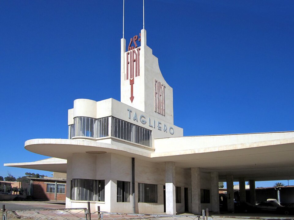
Keren
Markets between landscapes
A road northwest winds toward Keren. Markets link farmers and livestock herders with towns. Sorghum, millet and livestock suit some of the drier areas, but drought makes harvests uncertain. Tigrinya and Tigre are among the country’s languages. Christianity and Islam both have deep roots, and daily life differs among Eritrea’s communities.
Livestock turn grazing plants into food and products people can sell. This is especially important where dry conditions limit crops. A market brings these different livelihoods together, allowing herders, farmers and town residents to exchange goods they cannot all produce themselves.
Locate this stop on the map ↗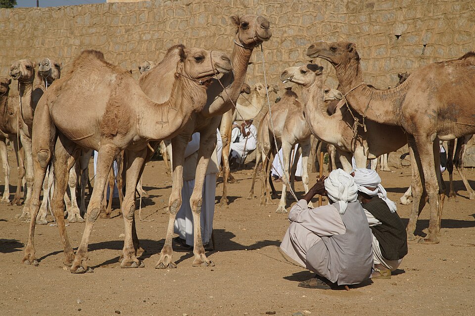
Massawa
Down to the Red Sea
Returning toward Asmara, then descending east, we reach Massawa’s much hotter coast. The port links Eritrea with sea trade. Older buildings record connections across the Red Sea, while fishing supports coastal households. Eritrea also exports minerals such as gold and zinc. Limited infrastructure and water supplies make economic development difficult.
The journey down from the plateau crosses a strong climate contrast over a relatively short distance. Coastal work depends on the sea, while inland farms depend on rain. Roads linking the two environments help goods move between places with different resources.
Locate this stop on the map ↗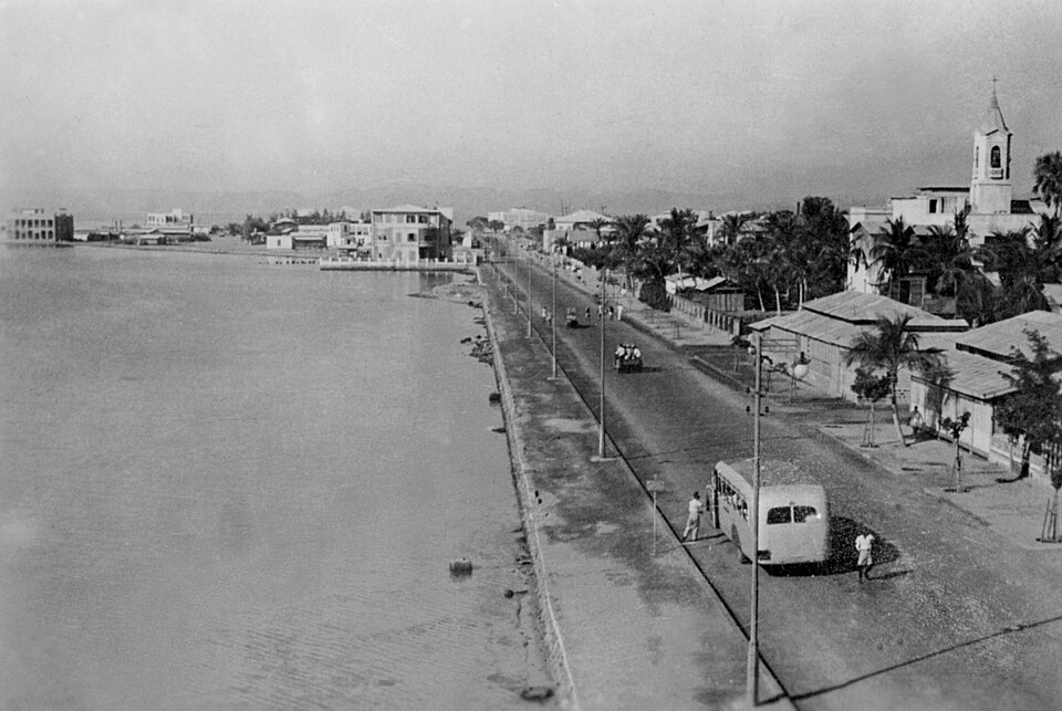
Adulis
An ancient port inland today
South along the coast, the remains of Adulis recall the ancient kingdom of Aksum. Ships once connected this trading center with the Mediterranean and Indian Ocean worlds. Archaeology helps explain why the Red Sea has linked peoples for centuries. Ruins should be protected rather than disturbed, allowing researchers to learn from their original setting.
The remains connect inland history with maritime history. Ancient traders needed routes between the port and the highlands as well as routes across the sea. Objects found in their original surroundings can help explain those connections; removing them can destroy valuable evidence.
Locate this stop on the map ↗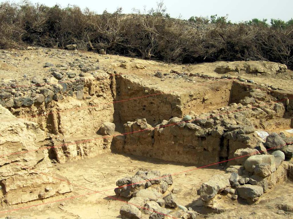
Dahlak Islands
Life around coral
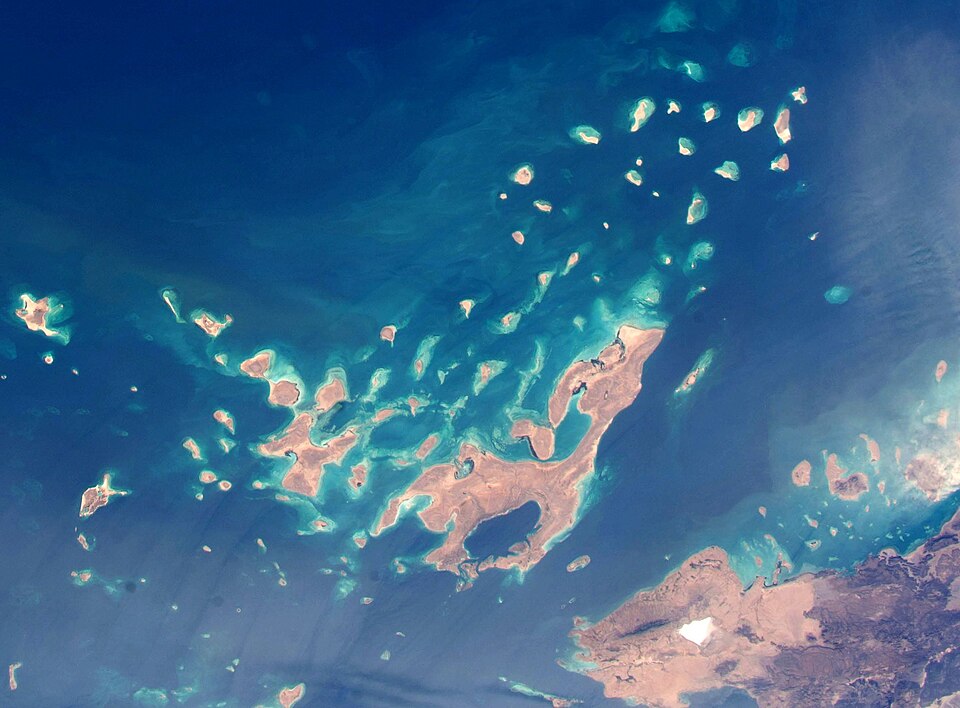
A sea crossing brings our journey to the Dahlak archipelago, a group of islands. Reefs, seagrass and mangroves provide shelter and feeding places for marine animals. Fish connect this environment to people’s livelihoods. Freshwater is scarce on the islands. Protecting coastal habitats supports fisheries, while visitor access requires permission and cannot be treated as an ordinary beach holiday.
A reef is a living habitat, not simply a rock formation. Sheltered coastal environments provide places where marine animals can feed and grow. Damage to these habitats can affect fishing households too, making protection a practical concern as well as a conservation goal.
Locate this stop on the map ↗