Our journey through Ethiopia begins in highland Addis Ababa. Long road journeys and flights link our stops. Cool, rainy uplands contrast with hot, dry lowlands; conflict can restrict access to some places.
Your route
Five places, one journey
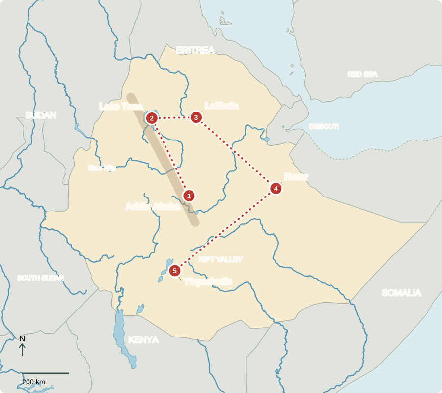
Route includes long road and air transfers; lines are not roads.
Addis Ababa
A capital of connections
Addis Ababa’s markets, offices and light rail serve a growing city. The African Union has its headquarters here. Ethiopia is a federation: regional states share authority with the national government. The elected lower house chooses the prime minister, who leads government. Many languages and cultural communities shape public life. Jobs and services have expanded, but poverty and unequal access remain serious challenges.
A landlocked capital still depends on overseas trade. Roads and railway links through Djibouti connect businesses with an ocean port. These connections help explain why relationships with neighboring countries matter for the cost and movement of everyday goods as well as exports.
Locate this stop on the map ↗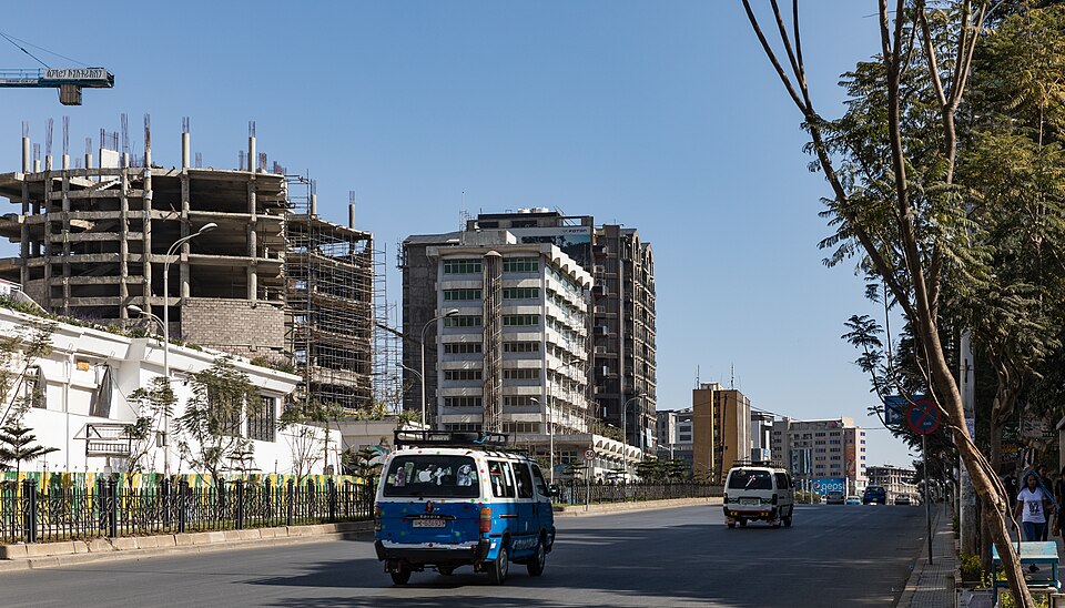
Lake Tana
Water leaving the highlands
Traveling northwest, we reach Lake Tana, the source of the Blue Nile. Fishers use the lake, while island monasteries preserve Christian traditions. Seasonal rain feeds the surrounding highlands and river. Wetland protection matters because sediment and invasive plants can damage habitats. Ethiopia’s highland water also supports people far downstream in Sudan and Egypt.
Lake water carries connections across great distances. Soil washed from fields can enter streams, while changes in wetlands affect fish and water quality. Protecting land around the lake therefore matters to local livelihoods and to a river system that crosses national borders.
Locate this stop on the map ↗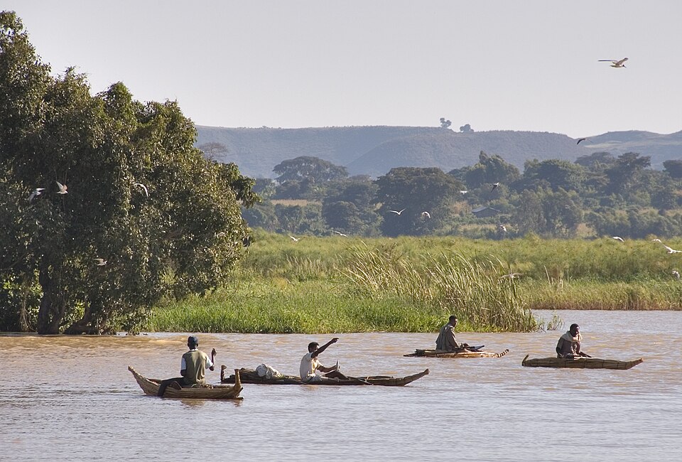
Lalibela
Churches carved from rock
Eastward, Lalibela’s churches were cut into rock rather than built block by block. They remain places of Ethiopian Orthodox worship. Their medieval history reflects a long Christian tradition. Pilgrimage and tourism can support guides and craftspeople, but fragile stone needs protection. Armed conflict has disrupted travel and livelihoods in parts of northern Ethiopia.
Cutting downward into rock required a different approach from stacking stone walls. Paths and passages link the churches with the surrounding ground. Their continuing religious use also means preservation must consider the needs of worshippers, alongside the effects of weather and visitors.
Locate this stop on the map ↗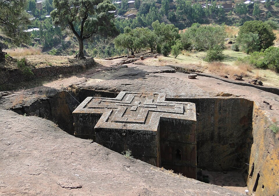
Harar
A walled trading town
After a long transfer southeast, we reach Harar. Its walls, mosques and courtyards reflect centuries of Islamic learning and commerce. Trade linked the highlands with dry lowlands and ports. Ethiopia has no coastline today, making its transport corridor to Djibouti important. Harar’s traditions show that Ethiopia’s history includes many faiths and peoples.
The decorated interior in the photograph offers another view of heritage: history survives inside homes as well as in large monuments. Harar’s location along trade routes encouraged exchanges between peoples, helping explain the city’s distinctive architecture, craft traditions and religious importance.
Locate this stop on the map ↗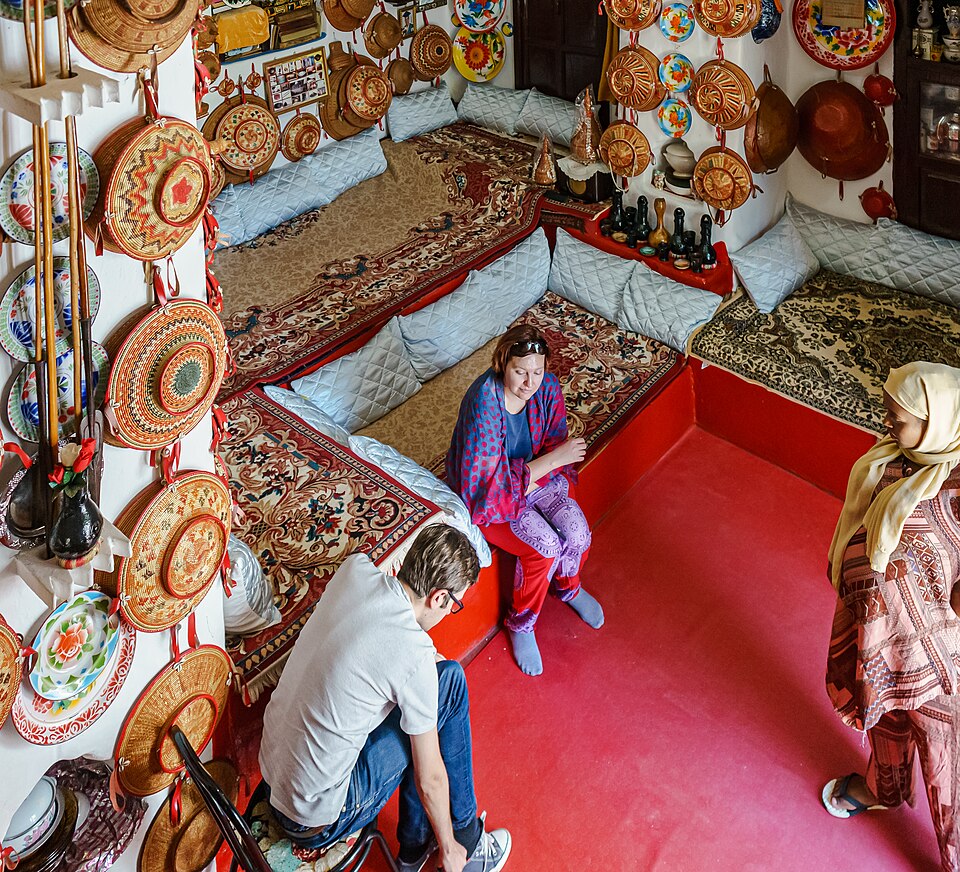
Yirgacheffe
Coffee among the hills
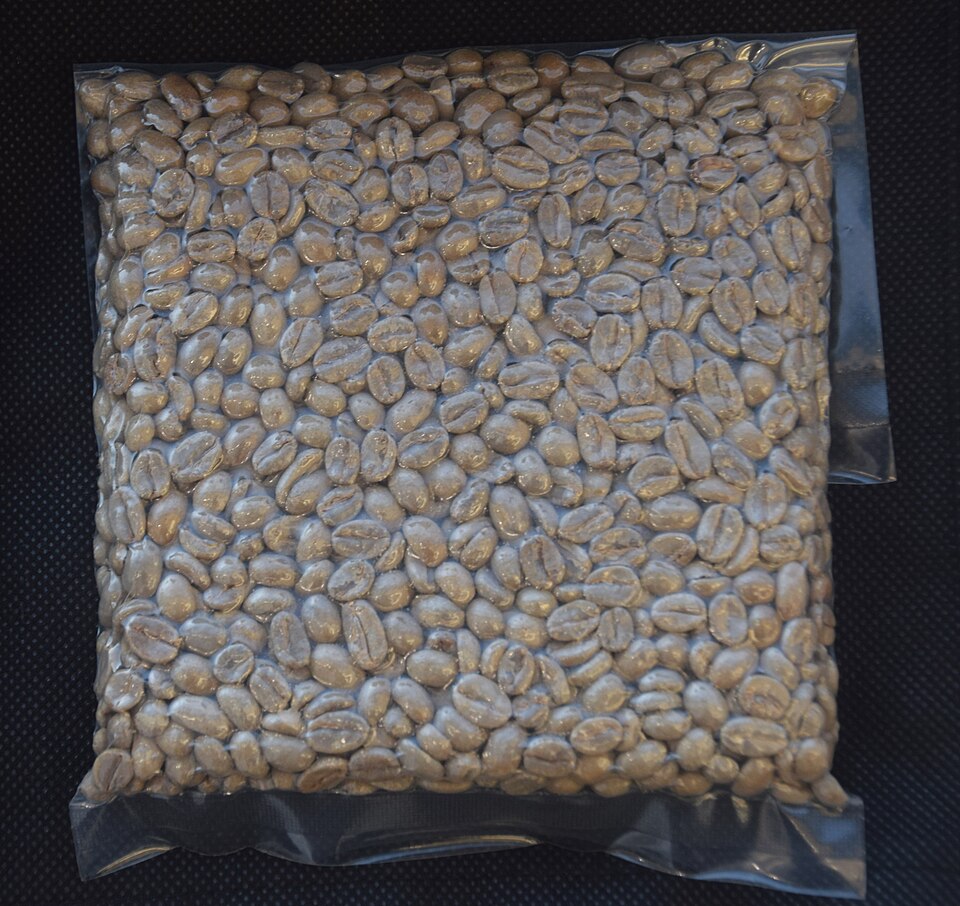
Our final long journey heads southwest to Yirgacheffe’s coffee-growing country. Rainfall, elevation and careful processing help shape this valued crop. Coffee earns foreign income, while farmers also need food crops and reliable prices. Injera, a flatbread often made with teff, accompanies many meals. Soil erosion and irregular rainfall threaten farming; keeping trees and protecting soil help families adapt.
Coffee beans pass through several stages between farm and cup, including harvesting, processing and transport. Growers depend on this wider chain to reach buyers. Trees can help shade coffee and protect soil, connecting farming choices with the future of the surrounding landscape.
Locate this stop on the map ↗