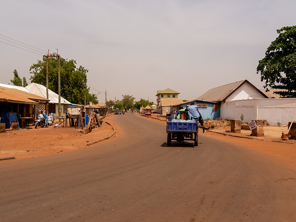
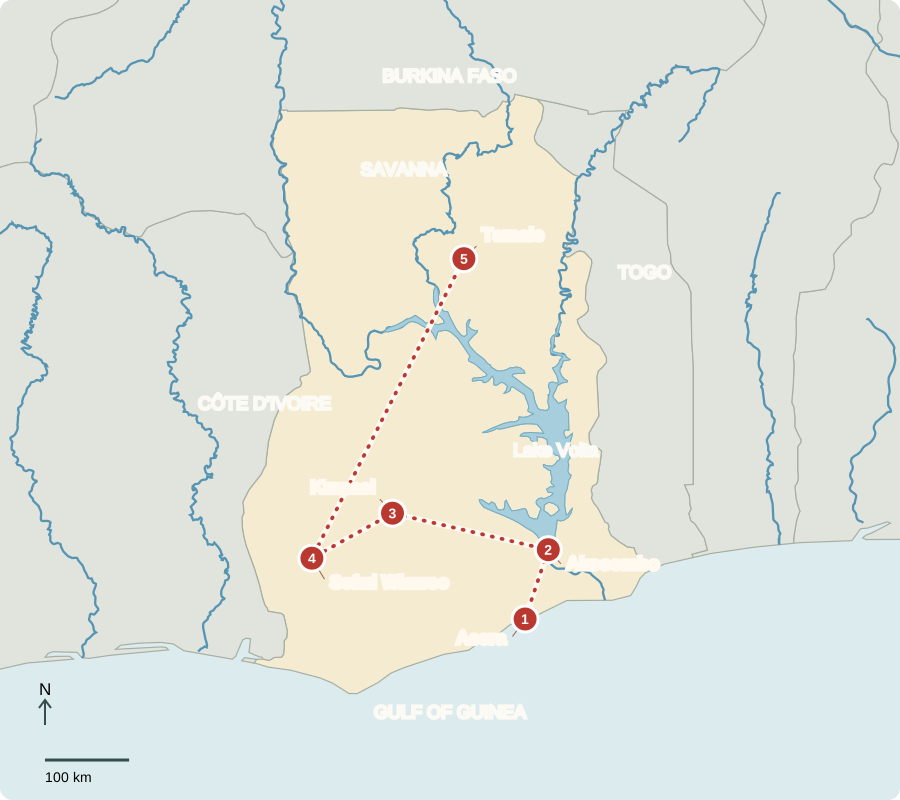
Our journey through Ghana starts on the coast, visits a river dam and the forest zone, then continues north into savanna. Long road journeys connect these contrasting places.
Your route
Five places, one journey
Accra
A capital open to the sea
Markets, offices and fishing communities share Ghana’s coast. Services and trade support the capital alongside an economy exporting gold, cocoa and offshore oil. Bauxite and manganese are additional resources. Ghana became independent from Britain in 1957; voters elect a president and parliament. Many households have improved living standards, yet poverty remains, especially in parts of the north. Christianity, Islam and Indigenous traditions shape varied communities.
Pineapples, maize and other crops also link Ghana with familiar foods abroad. Exporting a product creates income, but families still need affordable food at home.
Locate this stop on the map ↗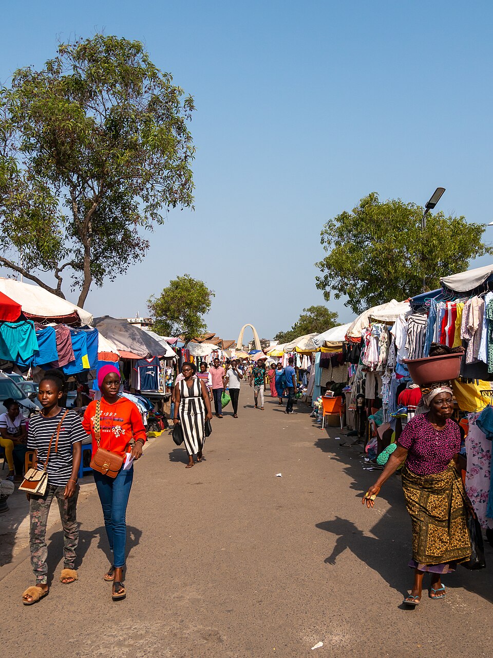
Akosombo
Changing a river
Traveling northeast, we reach the dam that created Lake Volta. Stored water drives turbines to make electricity for homes and businesses. The reservoir also supports fishing and boat transport. Building it flooded land and displaced communities, showing that environmental changes can bring benefits and serious costs. Rainfall and river flows affect the electricity supply.
A turbine turns moving water into mechanical motion that drives a generator. This is renewable energy, but a dam still changes the surrounding environment.
Locate this stop on the map ↗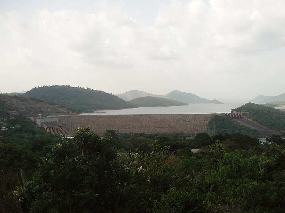
Kumasi
Cloth, memory and stories
Turning west, we arrive in the historic Asante center. Kente weavers join colorful narrow strips into cloth; patterns and occasions give textiles meaning. Akan Anansi stories feature a clever spider whose actions can teach lessons. Enslaved Africans carried stories to the Caribbean and the Americas, where tellers adapted them. Songs, poems and storytelling preserve histories and values across generations without requiring every telling to be identical.
Makers combine skill and materials to create value. A woven cloth can support a livelihood while also carrying cultural meaning through its colors and patterns.
Locate this stop on the map ↗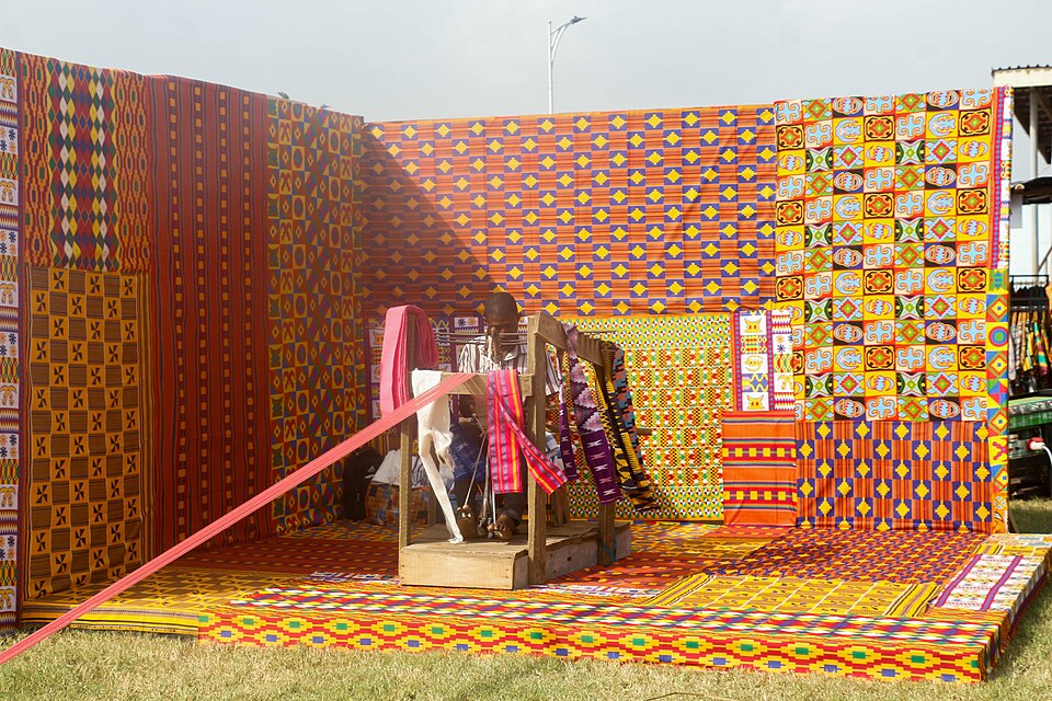
Sefwi Wiawso
The crop behind chocolate
A southwestern journey enters cocoa country. Warm, rainy forest-zone conditions help cocoa trees grow. Farmers harvest pods, then ferment and dry the beans. Ghana and Côte d’Ivoire supply a large share of global cocoa. Cassava, plantains, yams and maize also feed families. Expanding farms or mining can damage forests and rivers; shade trees and better land management help protect future harvests.
Cocoa is a tree crop, so a new planting takes time to become productive. Growers must think about several years, not only the next harvest.
Locate this stop on the map ↗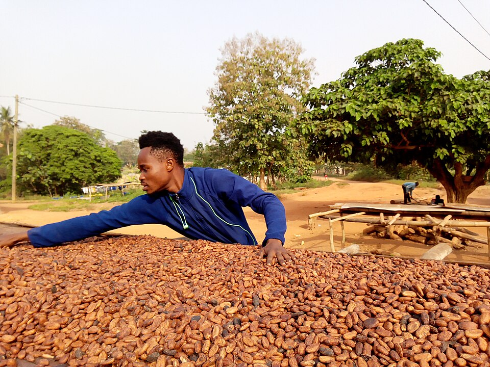
Tamale
Rain with a different rhythm
A long northern transfer brings us to savanna with a longer dry season. Farmers grow grains, groundnuts and other crops; shea nuts provide butter for food and skin products. Small reservoirs and irrigation can extend farming, but water remains limited. Ghana is not uniformly rainforest or equally rainy. Environment creates possibilities, while roads, skills, tools and markets help determine how people use them.
Much of Western Africa is savanna. The broad north-to-south pattern runs from Sahara desert through the dry Sahel and savanna toward humid southern forests, with local exceptions.
Locate this stop on the map ↗