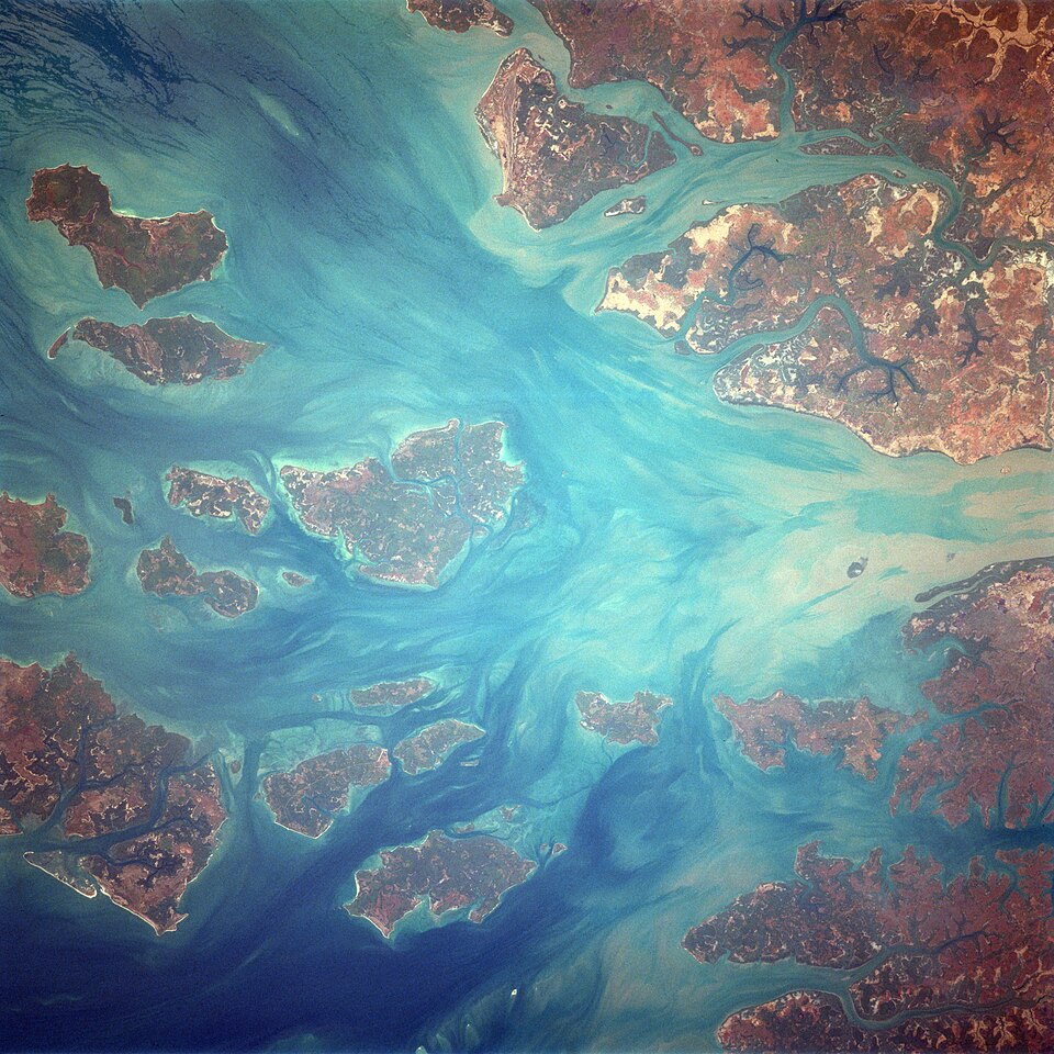
Our journey through Guinea-Bissau begins at a coastal port, crosses farming country, then returns to the sea for an island journey. Rain and tides shape both work and travel.
Your route
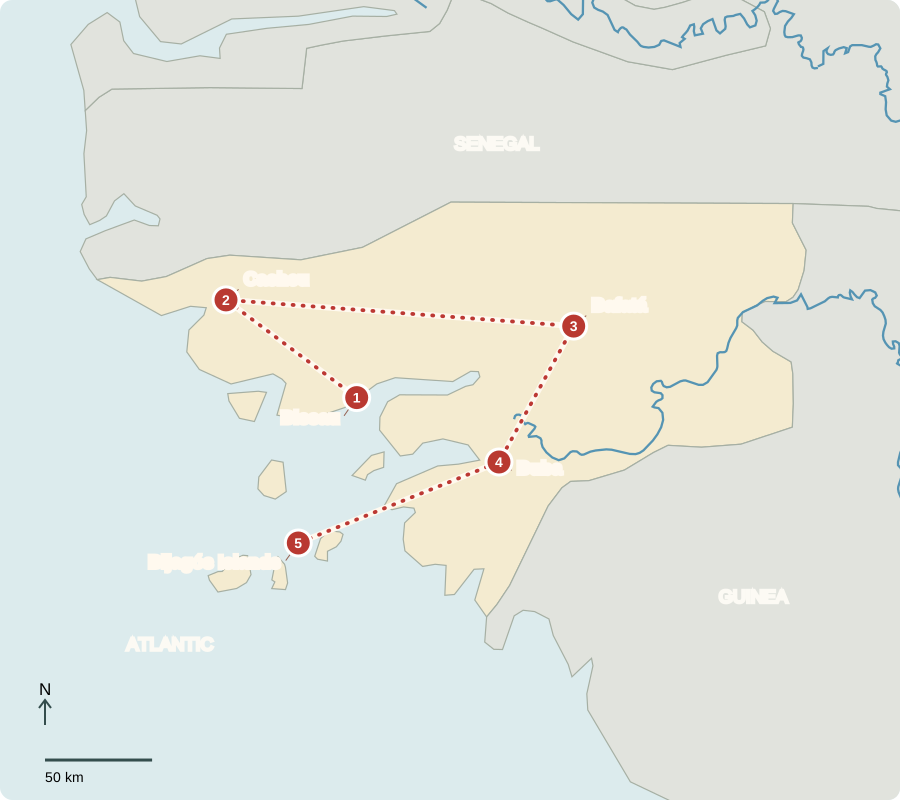
Five places, one journey
Bissau
A port with an important crop
Cashew shipments link Bissau’s port with overseas buyers. The capital is also the center of government. Independence was declared in 1973 and recognized by Portugal in 1974 after an armed struggle. A 2025 military takeover interrupted civilian institutions; military authorities lead the transition. Portuguese is official, but Guinea-Bissau Creole allows many communities to communicate across language differences.
The country is distinct from neighboring Guinea. Both face the Atlantic, but different colonial histories help explain their different official languages and modern borders.
Locate this stop on the map ↗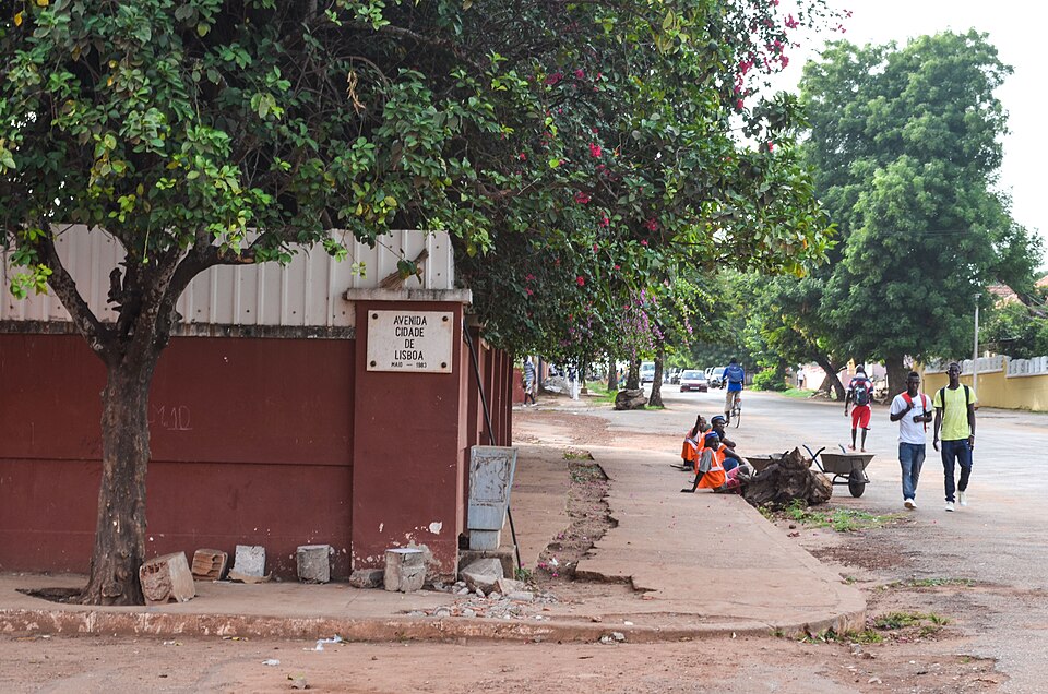
Cacheu
Trees along tidal channels
Traveling northwest, we reach estuaries fringed with mangroves. Their roots shelter young fish and help protect muddy shores. Fish and timber are natural resources, but overuse can damage habitats. Historic trading sites also recall the forced movement of enslaved Africans across the Atlantic. Safeguarding wetlands protects food supplies as well as wildlife.
Mangroves grow where many ordinary trees could not tolerate the salt and wet ground. Their shelter connects the health of the shoreline with catches offshore.
Locate this stop on the map ↗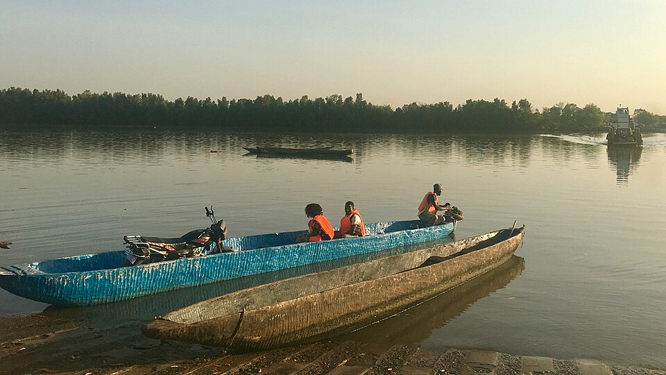
Bafatá
An orchard economy
Our route turns inland to a region of farms and savanna woodland. Cashew nuts are a major export; rice, groundnuts and cassava also support livelihoods. A good cashew harvest can raise incomes, but dependence on one export exposes households to changing prices. Many people live in poverty. Processing more nuts locally could create jobs beyond growing and shipping the raw crop.
A cashew has both a nut and a fleshy fruit called the cashew apple. The nut requires processing before it becomes the familiar snack.
Locate this stop on the map ↗
Buba
Farming between rain and salt
Heading south, we cross a low landscape of rivers and coastal inlets. Some rice farmers build embankments to keep salty tidal water out and use rainwater to wash salt from fields. Maintaining these earthworks takes labor. Heavy rain, damaged dikes or drought can upset the balance. Rice is a staple food, often eaten with fish or sauces.
The climate brings a wet season and a dry season. Farmers must plan for that yearly rhythm as well as the daily movement of tides.
Locate this stop on the map ↗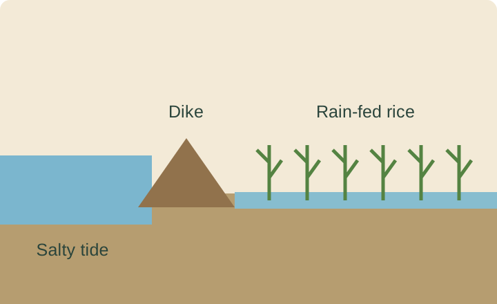
Bijagós Islands
Islands connected by water
Returning toward the coast, we continue by boat into the Bijagós archipelago. Tides and channels influence when boats travel. Island communities maintain distinct cultural traditions, while protected beaches and waters shelter turtles and other wildlife. Muslims, Christians and people practicing Indigenous religions all contribute to national life. Tourism can bring earnings, but fragile habitats and limited transport require careful planning.
Some islands are easier to reach than others. Transport costs influence the price of supplies and whether people can bring fish or crops to distant markets.
Locate this stop on the map ↗