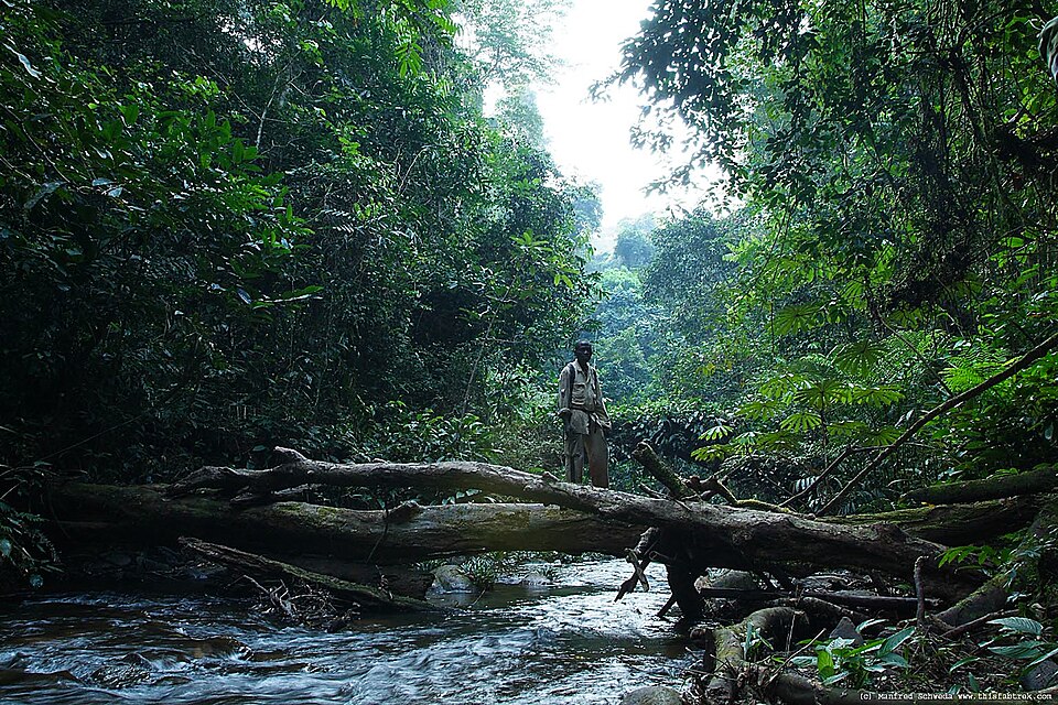
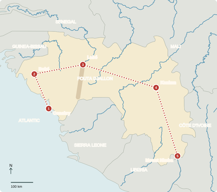
Our journey through Guinea begins on the Atlantic coast, crosses highlands, and continues toward the forested southeast. Long road transfers reveal how elevation and rainfall shape livelihoods.
Your route
Five places, one journey
Conakry
A crowded coastal gateway
Conakry stretches along a peninsula, concentrating roads, markets and port activity in a narrow space. Rice and fish connect city meals with farms and coastal waters. Guinea chose independence from France in 1958. A presidential election in late 2025 followed military rule; the republic’s elected presidency returned under a new constitution. French remains official, while many people use African languages in daily life.
The coast receives heavy seasonal rain. Moving goods through a long, narrow urban area can be difficult, even when ships can reach the port.
Locate this stop on the map ↗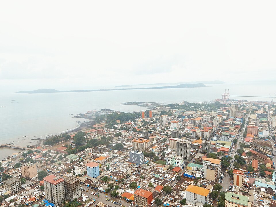
Boké
The rock behind aluminum
Heading northwest, we enter a major bauxite-producing region. Bauxite is the ore used to make aluminum. Mines, roads and railways link deposits with export ports. The industry earns substantial income, yet many Guineans remain poor. Mining can remove vegetation, disturb water supplies and create dust. Protecting communities and restoring worked land matter alongside production.
Aluminum is used in cans, vehicles and buildings. Turning ore into finished metal requires machinery, skilled workers and large energy supplies, so extraction is only one stage.
Locate this stop on the map ↗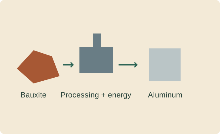
Labé
Highlands that supply rivers
Turning inland, we climb into the Fouta Djallon. Rain falling on these highlands feeds rivers that continue into neighboring countries. Valleys and slopes offer different farming conditions; rice, vegetables and the small grain fonio are grown in Guinea. Terraces and careful soil management can reduce erosion. Pular-speaking communities are prominent here, one part of the country’s wider cultural variety.
A watershed is land that drains toward a river. Caring for its soil and vegetation can reduce the sediment washed into streams after heavy rain.
Locate this stop on the map ↗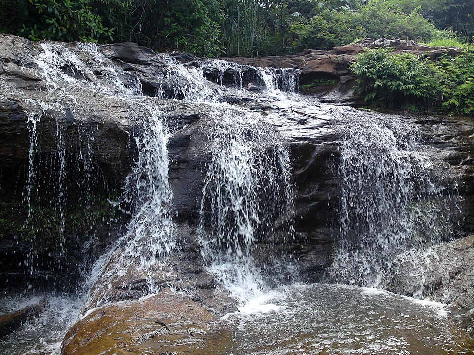
Kankan
Markets in the drier interior
A long southeastern journey takes us toward the upper Niger basin. This inland savanna has more pronounced seasonal dryness than the coast. Farmers grow grains, groundnuts and other crops, while gold provides another export. Maninka-speaking communities have rich musical and oral traditions. Most Guineans are Muslim, although Christianity and other beliefs also contribute to the country’s religious life.
Markets link the coast and highlands with the interior. A crop’s sale price reflects transport and storage as well as how much farmers can grow.
Locate this stop on the map ↗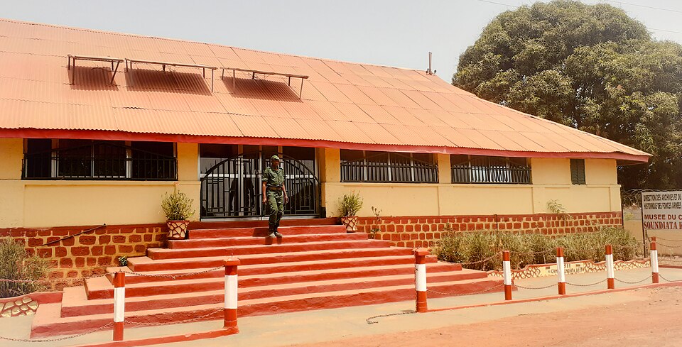
Mount Nimba
Forest below a mountain ridge
We finish near Guinea’s borders with Liberia and Côte d’Ivoire. Nimba’s forested slopes rise toward upland grasslands, sheltering unusual animals and plants. Rainfall supports southern farming, including rice and tree crops. Iron-ore deposits also create pressure for mining. Conservation, farm livelihoods and industrial development must share limited land: a green landscape does not automatically guarantee fertile soil or prosperity.
Guinea’s coastal plain, highlands, interior savanna and forest region each offer different possibilities. Bananas and plantains add familiar foods to its agricultural production.
Locate this stop on the map ↗