Our journey through Kenya begins at the Indian Ocean, climbs into cooler highlands, then crosses the Rift Valley toward savanna grasslands. Rainfall varies sharply: much of northern and eastern Kenya is dry.
Your route
Five places, one journey
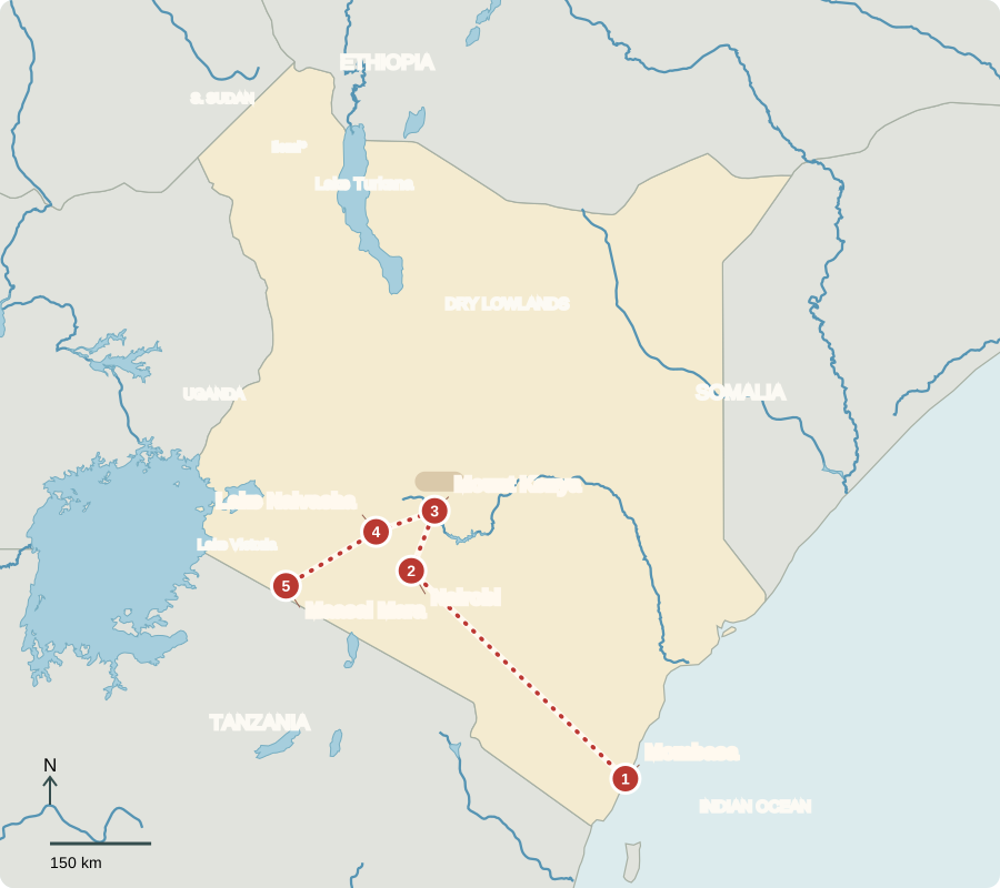
*The Ilemi Triangle boundary is disputed. Route lines are orientation aids, not roads.
Mombasa
A port shaped by trade
Mombasa’s harbor connects Kenya and inland neighbors to overseas markets. Fort Jesus, built by the Portuguese in the 1590s, recalls struggles to control Indian Ocean trade. Swahili coastal culture grew through African communities’ long contact with other trading peoples. Fish, rice and coconut appear in coastal cooking; beaches and historic streets also attract visitors.
A harbor connects land routes with sea routes. Cargo arriving here can continue inland by road or rail, while farm products move outward toward buyers abroad. Mombasa’s position helps explain why trade has repeatedly drawn different peoples to this coast.
Locate this stop on the map ↗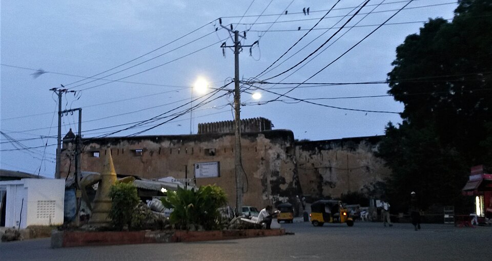
Nairobi
Rails, offices and public choices
We take the railway inland to Nairobi. The city grew around a colonial railway depot and is now a center for finance, technology and manufacturing. Kenya became independent from Britain in 1963. Voters elect a president who leads government and members of parliament who make laws. County governments also manage local responsibilities.
Transport remains part of Nairobi’s importance. Businesses need goods, workers and information to move between places. The city’s economy includes office work and factories as well as markets, showing that Kenya’s livelihoods extend well beyond the farms and wildlife parks often pictured.
Locate this stop on the map ↗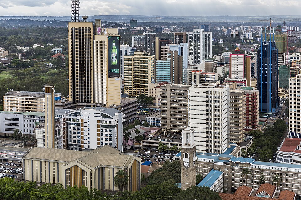
Mount Kenya
Farms below the mountain
Traveling north, we approach Mount Kenya’s slopes. Height brings cooler temperatures, and moist highlands support tea and coffee. Farmers also grow maize, vegetables and other foods. Tea and coffee earn export income, but drought, changing prices and transport costs affect families. Forests on the mountain help protect water supplies used far downstream.
A mountain affects places beyond its summit. Rain and forests on its slopes help supply streams used downhill. Clearing too much vegetation can expose soil to erosion, so decisions about upland land use also matter to farms and settlements below.
Locate this stop on the map ↗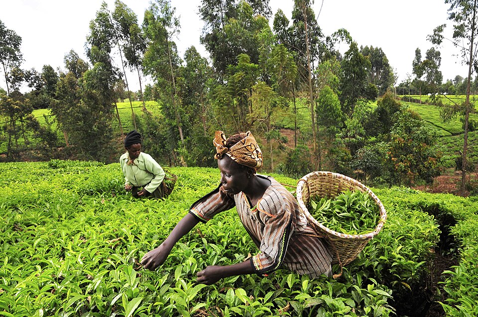
Lake Naivasha
One lake, many demands
We turn southwest into the Rift Valley, where Earth’s crust is slowly pulling apart. Lake Naivasha supports fishing, hippos and waterbirds. Nearby flower farms export cut flowers and employ workers. Farms, towns and wildlife all need freshwater, so water use and pollution require careful management. Nearby geothermal plants use underground heat to generate electricity.
Flowers need water just as food crops do, yet their buyers may live far away. This makes a local lake part of an international trading network. Protecting the water supply helps support jobs while keeping the lake usable for other people and animals.
Locate this stop on the map ↗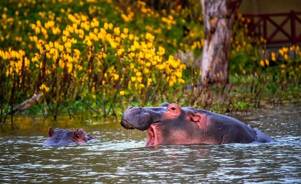
Maasai Mara
Grasslands without fences
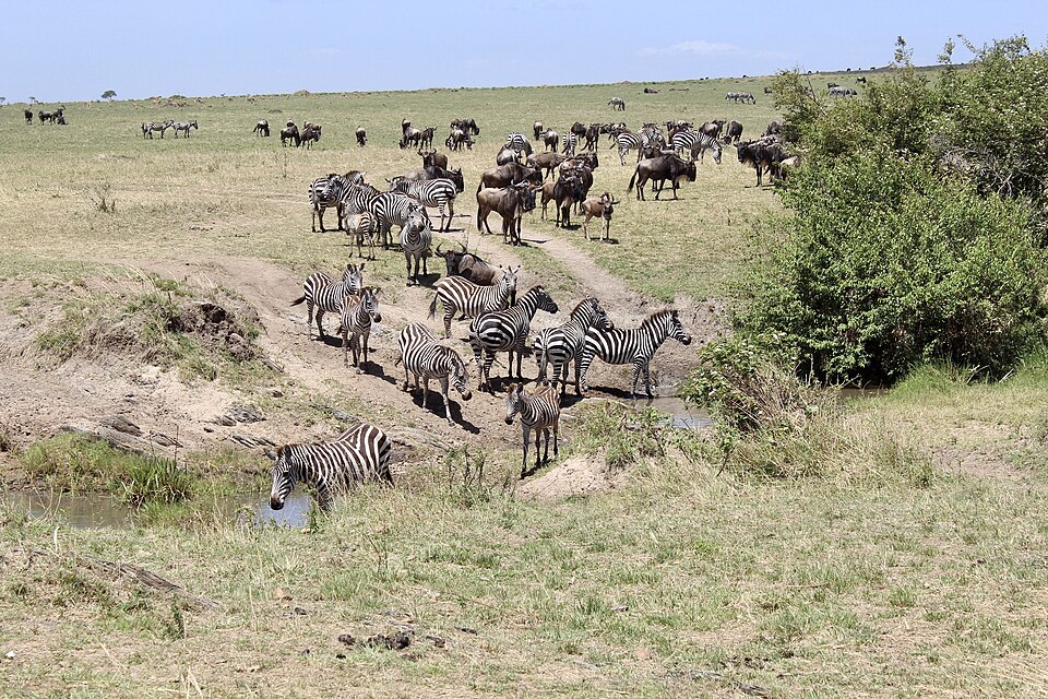
Farther southwest, wildebeest and zebras move across the Maasai Mara–Serengeti landscape as rain changes where grass grows. Lions hunt these grazers. Wildlife tourism supports guides, camps and conservation, while many Maasai families also keep livestock. Protected migration routes matter because fencing and settlement can block animals’ movement. Tourism is valuable, but farming, trade, industry and services also sustain Kenya’s economy.
The national border does not stop rain or grass growth. Wildlife protection therefore needs cooperation across this shared landscape. For nearby communities, conservation decisions also involve grazing land, income and access to resources; an empty-looking grassland may support many different livelihoods.
Locate this stop on the map ↗