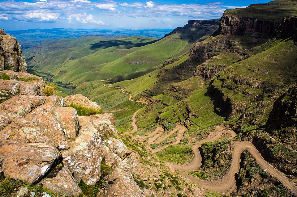
Our journey through Lesotho begins in Maseru and climbs into the Maloti Mountains. South Africa surrounds the entire country. High elevations bring cool summers, cold winters and occasional snow; winding roads connect scattered settlements.
Your route
Five places, one journey
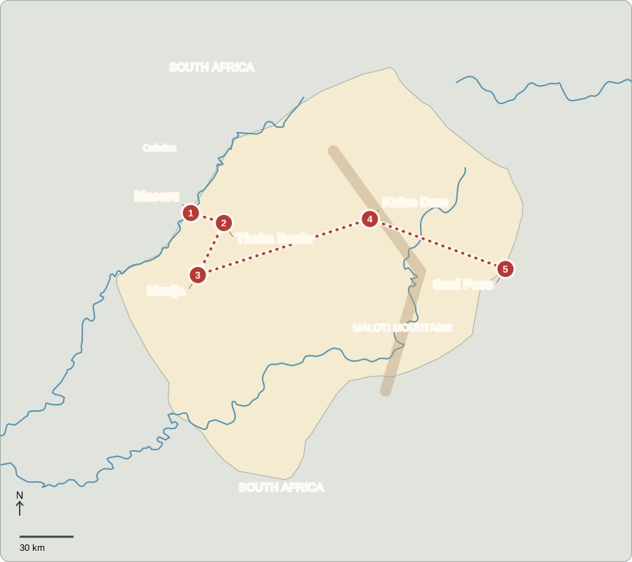
Route lines connect learning stops, not exact roads.
Maseru
A king and an elected government
Maseru stands beside the Caledon River on the South African border. Lesotho became independent from Britain in 1966. Its hereditary king has a mainly ceremonial role. Voters elect the National Assembly; the prime minister needs its support and runs government. Parliament passes laws, and competing parties give citizens choices. Clothing factories provide urban jobs, while many families also depend on farming or earnings from South Africa.
South Africa surrounds Lesotho on every side. Goods moving overland must therefore cross that neighbor, and cross-border employment connects many households. Sesotho and English are official languages; the national currency, the loti, circulates alongside the South African rand.
Locate this stop on the map ↗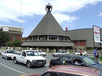
Thaba Bosiu
A mountain stronghold
East of Maseru, the flat-topped mountain Thaba Bosiu recalls King Moshoeshoe I, who united communities during nineteenth-century upheaval. Its steep sides helped defend the settlement. This place explains how terrain shaped the growth of the Basotho kingdom. Basotho is the plural name for its people; Sesotho is their main language. The site remains important to national memory and heritage tourism.
The mountain’s flat summit and steep approaches offered a defensive advantage. This does not mean geography alone created the kingdom: leadership and alliances mattered too. The setting helps explain why this particular place became a center of refuge and resistance.
Locate this stop on the map ↗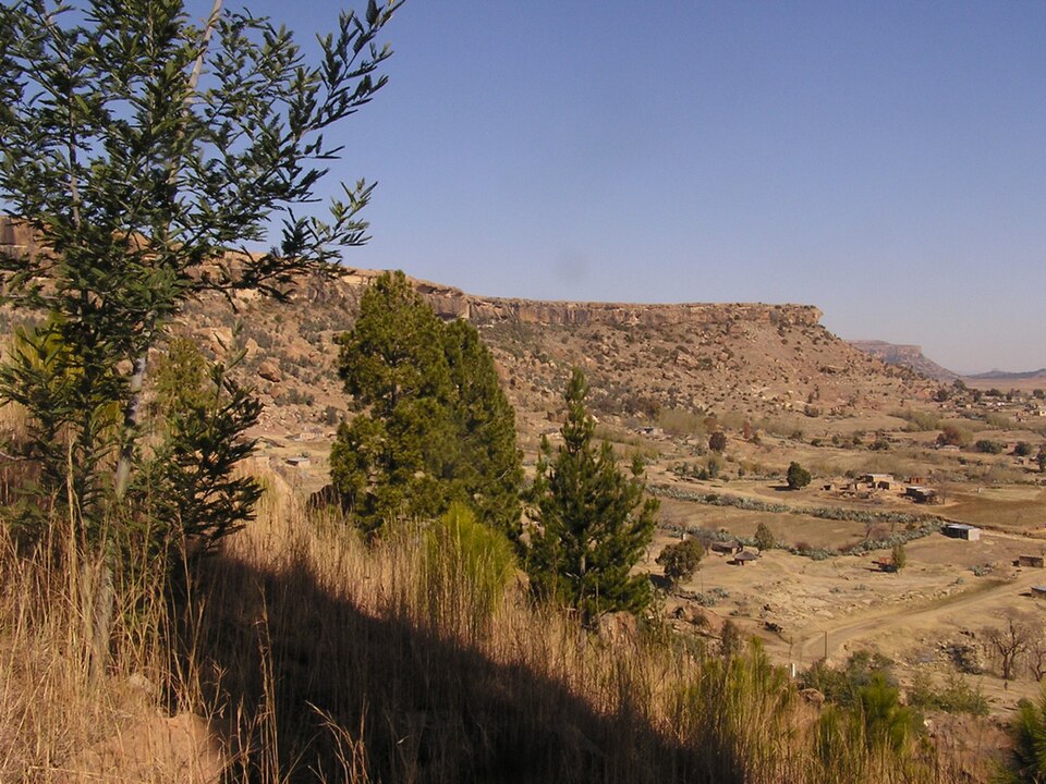
Morija
Stories, learning and craft
We continue south to Morija, associated with early mission schools and publishing. Its museum preserves objects and stories about Lesotho’s past. Woven hats and patterned blankets are familiar cultural symbols, but their use varies with occasion and personal choice. Nearby farms raise maize and sorghum; sheep and goats provide wool and mohair. Limited good farmland and unreliable rainfall make rural livelihoods difficult.
Mohair comes from Angora goats, whereas sheep supply wool. Both fibers can be sold beyond the village where the animals are raised. Grazing animals need healthy pasture, so the condition of the hills affects household earnings as well as scenery.
Locate this stop on the map ↗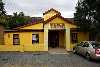
Katse Dam
Mountains become a reservoir
A long, winding drive northeast reaches Katse Dam. Mountain rain and snow feed rivers; the reservoir stores water for transfer to South Africa and helps generate electricity in Lesotho. Water earns national income, but the project also displaced people and changed river environments. Compensation, healthy ecosystems and reliable local water supplies matter alongside engineering. Lesotho’s highland geography creates both opportunities and hard choices.
Moving water across a mountain landscape requires tunnels and other major works. The benefits travel beyond the reservoir, while nearby communities experience the changes directly. Judging a water project therefore means considering both its national gains and its local costs.
Locate this stop on the map ↗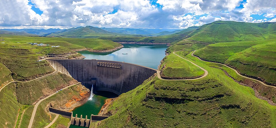
Sani Pass
A steep route through the mountains
Our final overland journey reaches Sani Pass, a high crossing toward South Africa. Steep slopes, cold weather and snow can make travel difficult; this is not an ordinary city road. Ponies remain useful in mountain areas where vehicles cannot easily go. Tourism offers guiding and lodging work, while erosion and overgrazing threaten the grasslands that support livestock and help protect the water flowing downstream.
Altitude makes Lesotho cooler than many places at similar latitude. Warm clothing and sturdy transport matter in the highlands, especially during winter. The same mountains that attract visitors can make everyday trips to markets and services much harder.
Locate this stop on the map ↗