Our journey through Liberia begins on the Atlantic coast, then follows roads toward rubber farms, ports and inland forests. Heavy seasonal rain affects travel and farming.
Your route
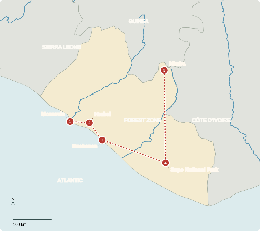
Five places, one journey
Monrovia
A capital with American connections
Liberia’s modern state grew from settlements of free and formerly enslaved Black Americans, sponsored by the American Colonization Society from 1822. Indigenous peoples already lived here. Settlers declared independence in 1847 and dominated government for generations. This history connects Liberia with the United States, but the country was never simply empty land awaiting newcomers. Today voters elect a president and legislature.
The national flag’s red and white stripes echo that connection with the United States, while its single star marks a separate country with its own history.
Locate this stop on the map ↗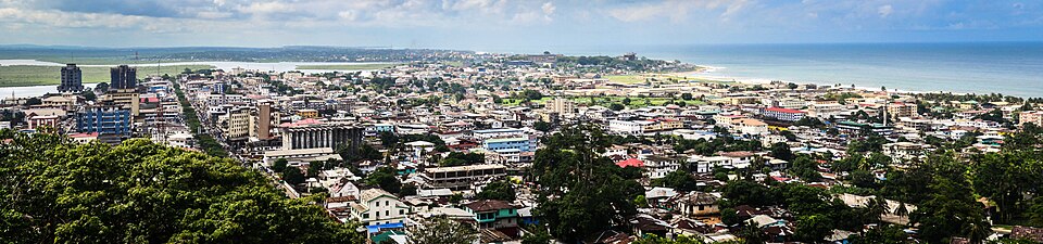
Harbel
A tree that supplies rubber
Driving inland, we reach a major rubber-growing area. Workers cut shallow channels in bark to collect latex, a milky liquid used to make rubber. Warm, wet conditions favor these trees. Rubber is an important export, while rice and cassava feed households. Large plantations create jobs but also raise questions about land, working conditions and how benefits are shared.
Plantation trees form a different landscape from natural rainforest. A plantation concentrates a useful crop; a forest contains a much wider variety of plants and animals.
Locate this stop on the map ↗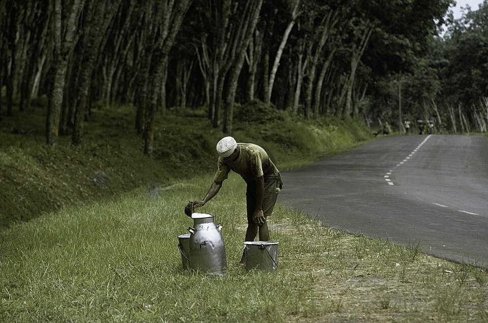
Buchanan
Rail meets the sea
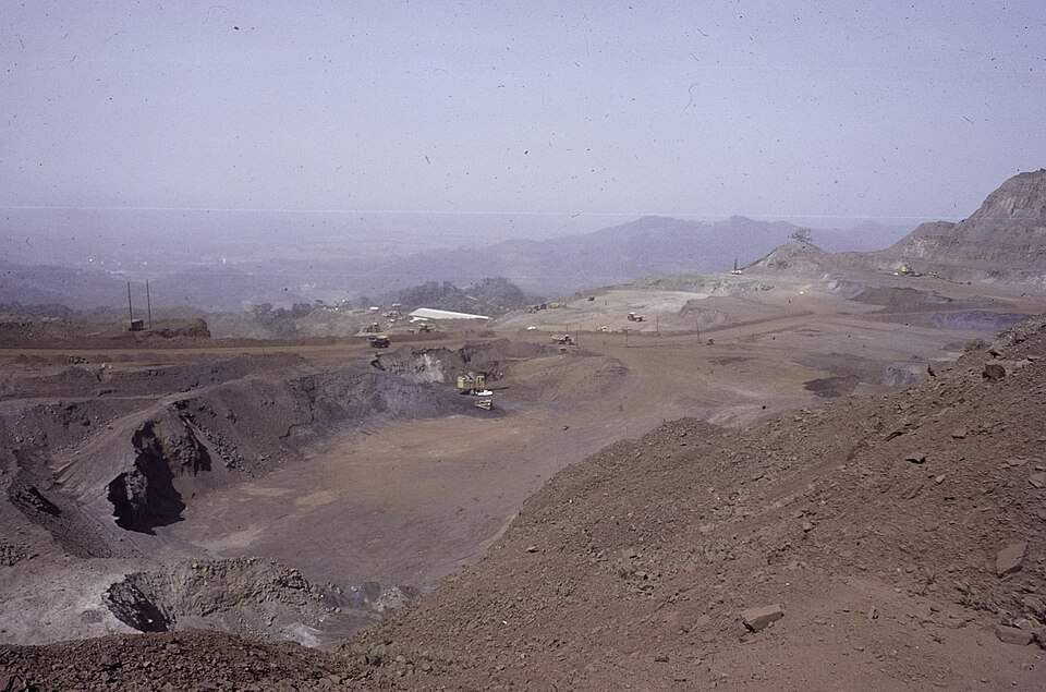
We continue southeast to a port linked with inland iron-ore mining by railway. Heavy ore needs efficient transport: rail and ships can carry large loads to overseas steelmakers. Fishing, trade and other services also support coastal livelihoods. Liberia has gold, timber and hydropower potential, yet many people remain poor. Roads, electricity and education influence whether resources support lasting improvements.
Railway investment ties an inland deposit to a usable coastal outlet. Without that link, a rich body of ore can be difficult or expensive to exploit.
Locate this stop on the map ↗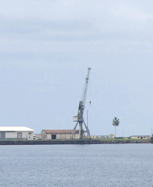
Sapo National Park
Keeping a forest standing
A long inland transfer brings us to rainforest habitat for chimpanzees and pygmy hippos. Rainfall is abundant, but clearing forest can expose soil and reduce wildlife shelter. Farming, logging and mining create competing demands for land. Protected areas conserve part of the forest while nearby communities need secure livelihoods. The contrast with the dry Sahel is striking, though Liberia also has distinct wet and dry seasons.
Pygmy hippos are much smaller than common hippos. They depend on forest and wet places, so losing connected habitat can threaten their survival.
Locate this stop on the map ↗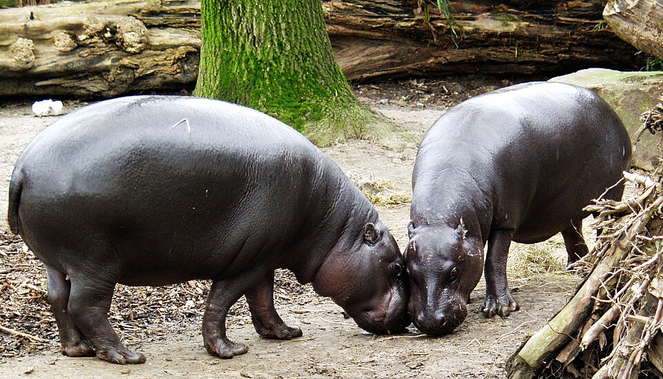
Nimba
Minerals and mountain habitats
Turning north, we reach the Nimba region near Guinea and Côte d’Ivoire. Iron-bearing rocks help explain mining here; forested slopes make conservation important too. Liberia contains many cultural and language communities, including Kpelle, Bassa and others. Christianity, Islam and Indigenous beliefs all shape life. Rice dishes, markets and music connect communities whose experiences differ between city neighborhoods, farming villages and mining towns.
Rice and cassava may be grown for home use as well as sale. That work matters to food supplies even when it receives less attention than exports.
Locate this stop on the map ↗