Our journey through Madagascar begins in the central highlands, turns east toward rainforest and the coast, then makes long transfers south and west. The island’s wetter east contrasts with drier western and southern areas.
Your route
Five places, one journey
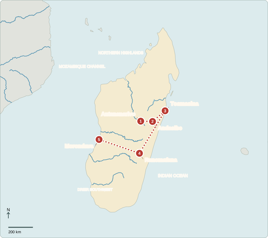
Route lines connect learning stops, not exact roads.
Antananarivo
Rice fields beneath a hilltop city
Antananarivo rises above rice-growing valleys. Madagascar became independent from France in 1960. Since an October 2025 military takeover, a transitional president has appointed the government rather than gaining power through a national election. The National Assembly continues making laws; the Senate’s term expired in January 2026. Consultations about future elections and constitutional rules continue. Citizens’ ability to influence this transition remains a central issue.
The island’s people are called Malagasy, and Malagasy and French are official languages. Cooler highlands support a different landscape from the tropical coasts. Rice fields beside the capital show that agriculture remains closely connected to even a large urban center.
Locate this stop on the map ↗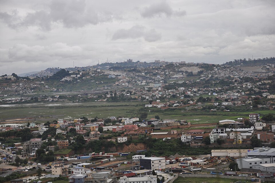
Andasibe
A call from the rainforest
Traveling east, we reach Andasibe’s rainforest, where indri lemurs make loud calls through the trees. Madagascar’s long isolation helped many species evolve nowhere else. Lemurs depend on habitats threatened by forest clearing. Guided visits can support conservation and local work, but protecting forests must also consider families needing farmland and fuel. Rice is a staple; improving harvests without clearing more land matters.
A species found naturally in only one place is called endemic. Long separation from other landmasses helped Madagascar develop extraordinary endemism. Losing a habitat here can mean losing a species everywhere, which makes local forest decisions globally important.
Locate this stop on the map ↗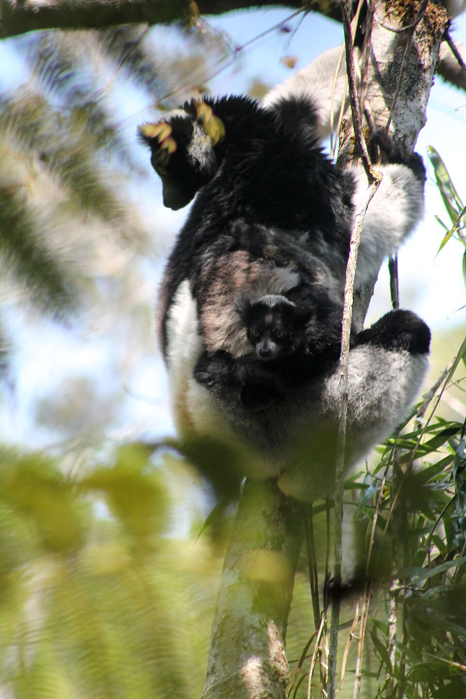
Toamasina
An ocean gateway exposed to storms
Farther east lies Toamasina, a major port. Ships carry imports and exports, including minerals and agricultural products. Vanilla grown mainly in the northeast is especially valuable. The eastern coast receives heavy rain and faces tropical cyclones that can damage homes, roads and crops. Stronger infrastructure and warning systems help, but poverty makes recovery difficult for many households.
A valuable export does not guarantee a stable income. Vanilla growers can face changing world prices as well as storm damage. Reliable roads, storage and shipping help connect a harvest with buyers, but families still face risks outside their control.
Locate this stop on the map ↗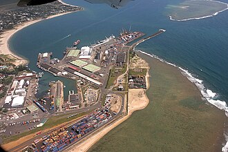
Ranomafana
Forest protects water as well as wildlife
After a long journey southwest, we reach Ranomafana’s mountain rainforest. Streams tumble through habitat used by several lemur species. Trees hold soil on steep slopes and help protect water flowing toward farms and settlements. Park visits create jobs for guides and accommodation providers. Conservation is therefore connected to both wildlife and everyday needs, including clean water and productive soil.
Forest clearing can expose soil to heavy rain. When that soil washes into streams, farms lose productive ground and water becomes muddier. Protecting forest on steep land helps explain how wildlife conservation can also serve communities far below the trees.
Locate this stop on the map ↗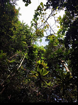
Morondava
Baobabs in a drier landscape
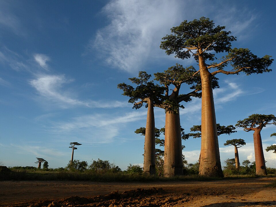
A further long transfer west reaches the Morondava region and its famous avenue of baobabs. These massive trees stand in a landscape much drier than the eastern rainforest. Farming, fishing and tourism support local livelihoods, while forest loss and unreliable transport limit opportunities. Madagascar also mines nickel, cobalt and other resources, yet resource wealth alone cannot ensure good services or secure incomes for its people.
The west’s more seasonal rainfall contrasts with the wet eastern slopes. The route crosses a large island rather than one uniform tropical environment. Agriculture, building needs and transport challenges change with these differences, so development must fit local conditions.
Locate this stop on the map ↗