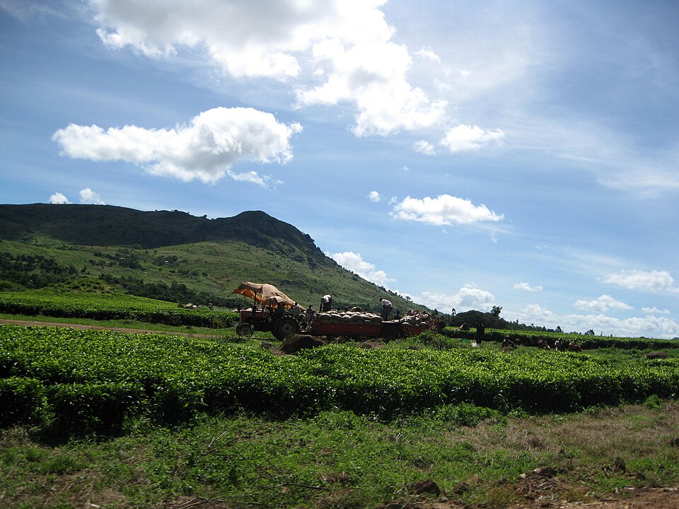
Our journey through Malawi begins in Lilongwe, loops north to farms and woodland, then follows Lake Malawi south to the tea country. Elevation creates cooler highlands above warm lowlands in this narrow, landlocked country.
Your route
Five places, one journey
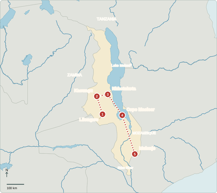
*The Malawi–Tanzania boundary in Lake Malawi is disputed; provider lines do not settle the claim.
Lilongwe
Decisions in a growing capital
Lilongwe has government offices, markets and expanding neighborhoods. Malawi became independent from Britain in 1964. Voters elect a president who directs the executive government and members of the National Assembly who debate laws and public spending. Courts can review government actions. Different parties compete in elections, giving citizens a way to choose representatives. Improving access to electricity, good roads and services remains important for many families.
English and Chichewa are important in public life, alongside other languages. Capital-city jobs include trade and services as well as government work. The goods sold in town connect urban households with the surrounding countryside and more distant suppliers.
Locate this stop on the map ↗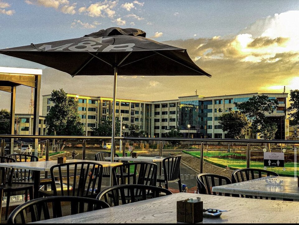
Kasungu
Rain sets the farming calendar
We drive north to Kasungu’s farming region. Maize feeds families; tobacco earns export income. Nsima, a thick maize porridge, is eaten with vegetables, beans or fish. Many farms depend on seasonal rain rather than irrigation. A drought can therefore shrink both food supplies and earnings. Growing several crops and protecting soil can reduce risks, though farmers also need affordable tools and dependable markets.
An export crop is grown partly for buyers in other countries. Selling tobacco can bring cash, but it does not replace food crops. Farm households must balance what they can eat with what they can sell.
Locate this stop on the map ↗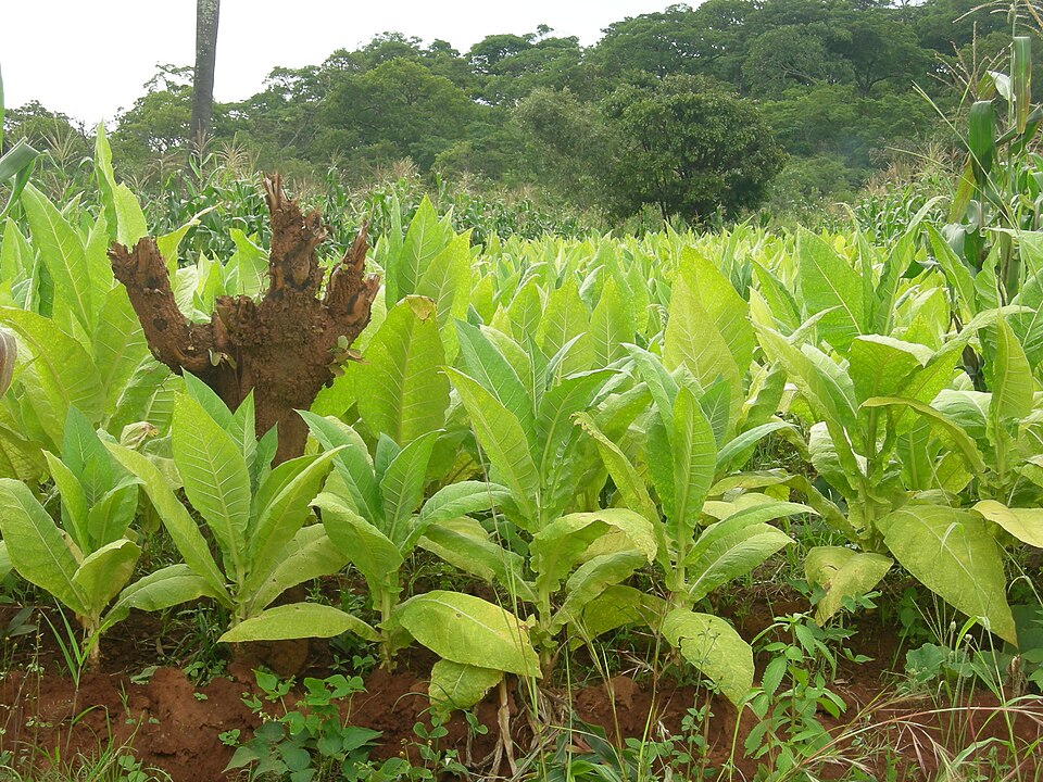
Nkhotakota
Woodland with a future
Turning east, we reach Nkhotakota Wildlife Reserve. Miombo woodland covers hills crossed by rivers. Elephants have been moved here as part of efforts to rebuild wildlife populations after years of poaching. Rangers protect animals, and guided visits offer work. Keeping the reserve healthy also requires cooperation with nearby communities, whose farms, fuel needs and livelihoods connect them to the surrounding land.
Miombo trees lose many leaves during the dry season, so woodland can look very different across the year. Wildlife recovery is more than moving animals: it also means keeping water, food and protection available after they arrive.
Locate this stop on the map ↗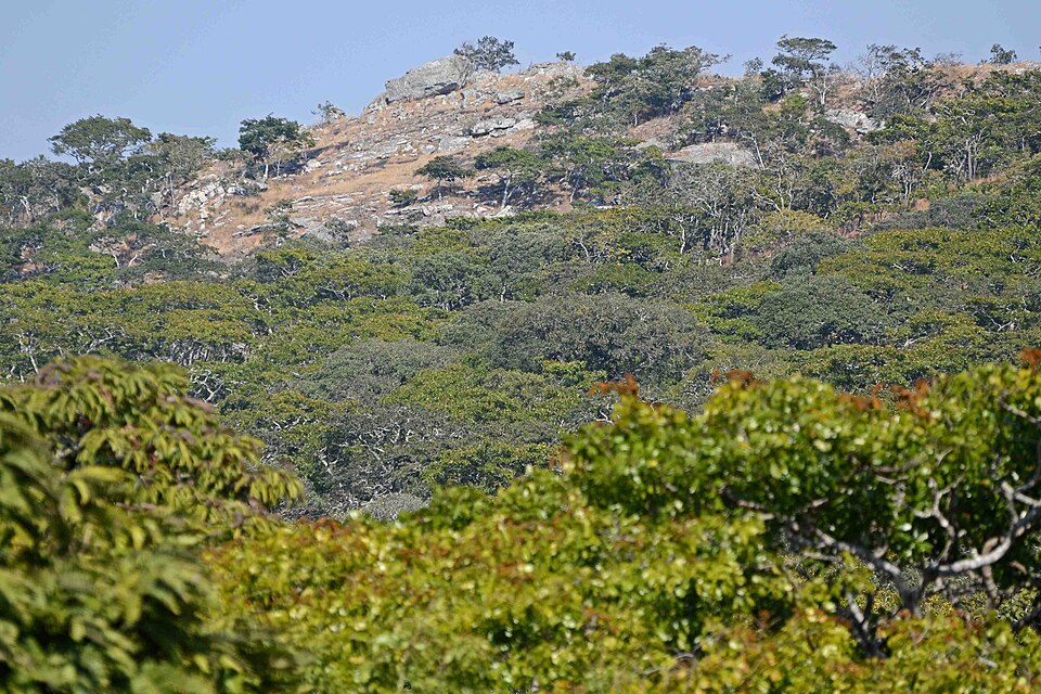
Cape Maclear
A lake full of different fish
The road south reaches Cape Maclear on Lake Malawi. Boats and fishing villages share the shore with visitor lodges. Hundreds of kinds of cichlid fish evolved in the lake; many live nowhere else. Rocky habitats and clean water help them survive. Fishing provides protein and income, while overfishing and polluted runoff threaten the resource. The lake forms part of the East African Rift.
Malawi shares the lake with neighboring countries. People along its shores depend on the same water even where governments disagree about a boundary. Cooperation matters because fish and pollution do not stop at lines drawn on maps.
Locate this stop on the map ↗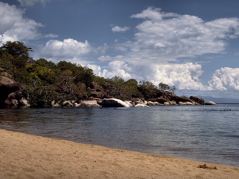
Mulanje
Tea below a mountain
Farther south, tea bushes spread below the steep Mulanje massif. Rain and cooler upland conditions suit tea, which is processed and exported. Forests on the mountain hold soil and help regulate streams used downhill. Clearing too many trees increases erosion and threatens water supplies. The rare Mulanje cedar also needs protection. Farming, conservation and daily access to water are closely connected on these slopes.
Tea leaves need processing after picking, connecting fields to factories and transport routes. As a landlocked country, Malawi must send exports through neighboring countries to reach the sea. A mountain harvest can therefore depend on roads far beyond the slopes.
Locate this stop on the map ↗