Our journey through Mauritania begins beside the Atlantic, crosses the Sahara, and ends near the Senegal River. Long road transfers connect these very different landscapes.
Your route
Five places, one journey
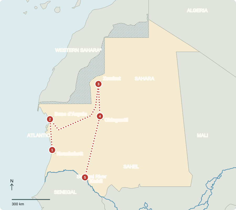
*Western Sahara is disputed. Map-provider lines show control boundaries, not agreed sovereignty.
Nouakchott
A capital beside the sand
Fishing boats line the shore near the capital. Cold, nutrient-rich Atlantic waters support valuable fisheries, even where the land is too dry for many crops. Fish processing provides jobs, but catches need careful management. Mauritania became independent from France in 1960. Voters choose a president and parliament. Arabic is official; Hassaniya Arabic, Pular, Soninke and Wolof connect different communities. Most Mauritanians are Muslim.
A fish canning plant adds value to a catch before it leaves the country. Boats, refrigeration, workers’ skills and a reliable port all matter alongside the fish themselves.
Locate this stop on the map ↗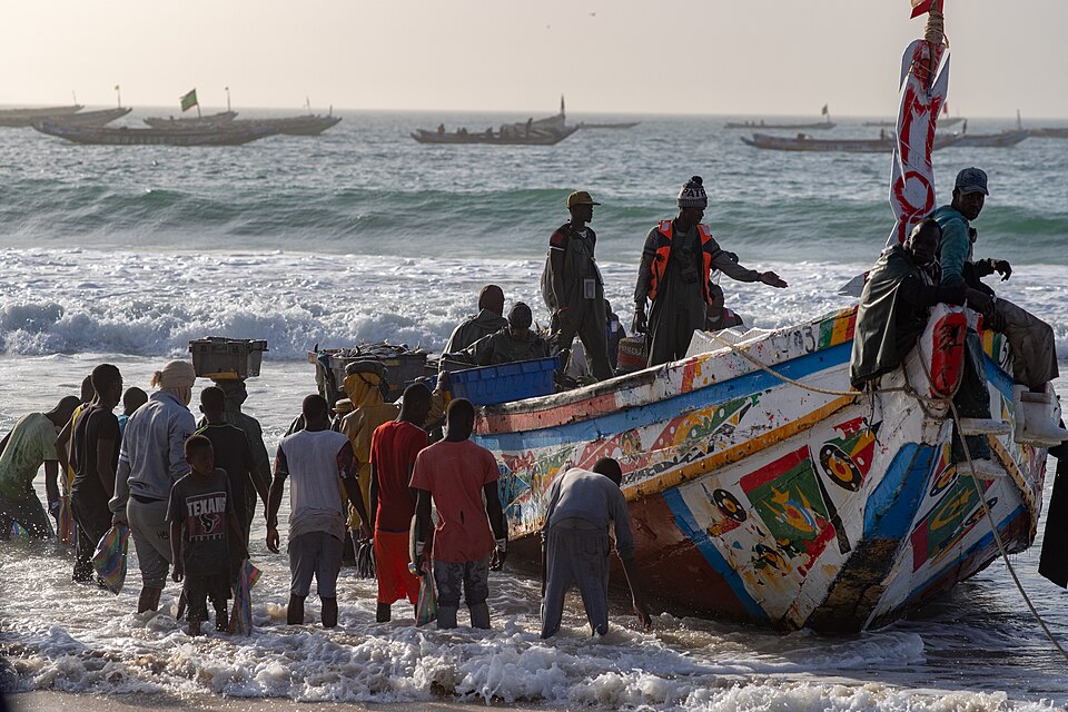
Banc d’Arguin
A meeting of desert and sea
Traveling north, we reach tidal flats and shallow coastal waters. Migrating birds feed here, and Imraguen fishing communities depend on the sea. This protected landscape shows why a desert country can have rich wildlife. Inland, scarce, unreliable rain limits farming. Drought can reduce pasture; heavy grazing and cutting woody plants can leave soil exposed to wind and erosion.
The sea and land therefore support very different food webs. Birds gather along productive shallows, while desert plants must survive long periods with little moisture.
Locate this stop on the map ↗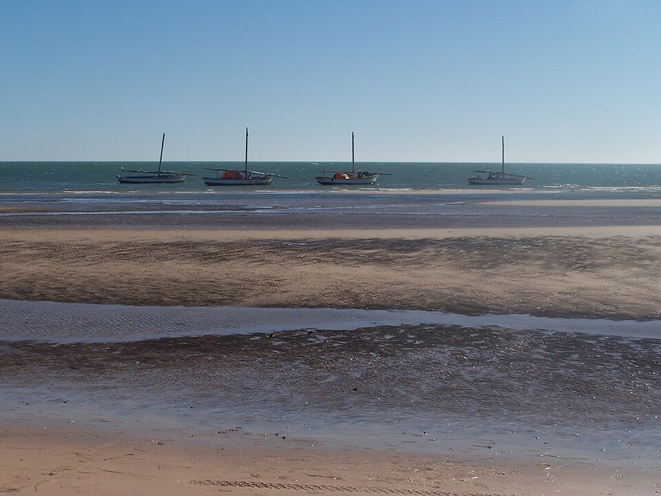
Zouérat
Ore on the move
A long inland transfer brings us to iron-mining country. Freight trains carry iron ore from the Zouérat area to the Atlantic port of Nouadhibou. This railway links a desert resource with distant steelworks. Mauritania also has gold, copper and phosphate deposits. Mineral exports earn money, but changing prices and limited jobs mean natural wealth does not reach every household; many families face poverty.
A mineral deposit is not the same as an operating mine. The cost of extraction, water, energy and transport helps determine which buried resources become saleable products.
Locate this stop on the map ↗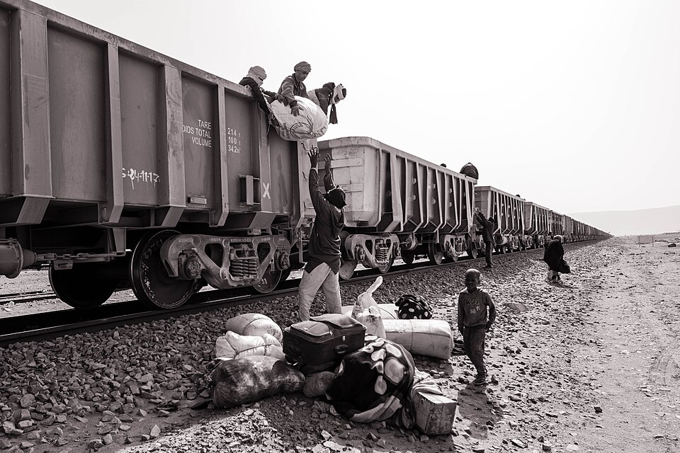
Chinguetti
Books beside the dunes
Turning south through rocky plateaus and sand, we reach Chinguetti. Its stone buildings, mosque and manuscript libraries recall caravan trade and Islamic learning. Travelers once carried goods and ideas across the Sahara. Nearby oases draw on scarce water to grow date palms. Their shade and water supply create small farming spaces in an otherwise arid environment.
An oasis is not a separate climate zone. It is a place where access to water lets people and plants live within the wider desert.
Locate this stop on the map ↗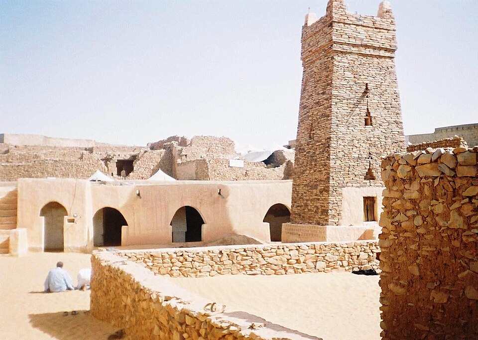
Kaédi
Water changes the landscape
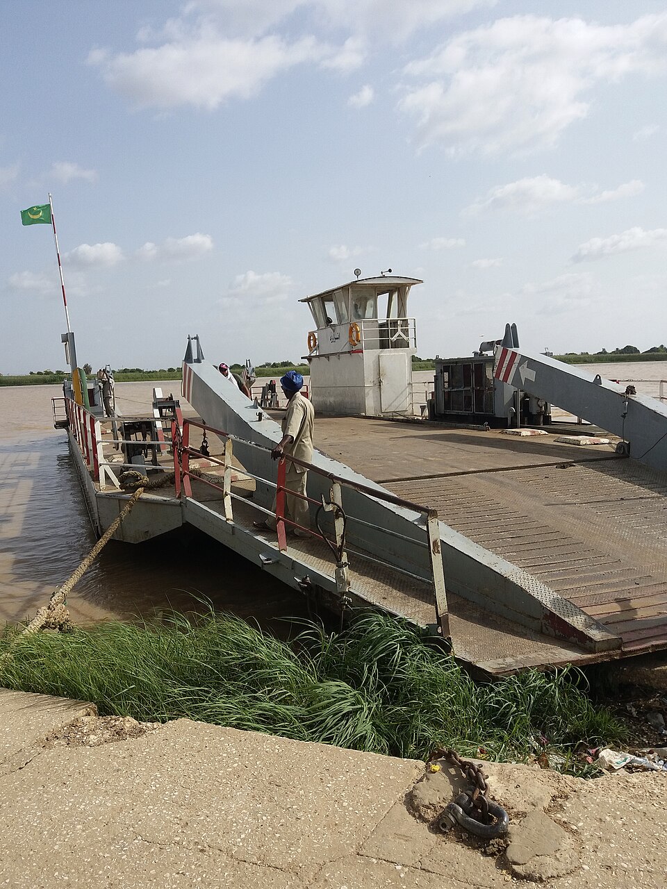
Farther south, the Sahara gives way to the Sahel, a dry grass-and-shrub belt. Near Kaédi, Senegal River water supports rice and sorghum farming; herders raise cattle, sheep and goats. Irrigation extends farming beyond rainfall alone, although drought and floods remain risks. Across mainland Western Africa, increasing rainfall generally leads southward from desert through Sahel and savanna toward humid forests. The pattern varies locally.
Fields and pasture can compete for space along this narrow greener strip. Sharing water and protecting vegetation matter to both farming and herding families.
Locate this stop on the map ↗