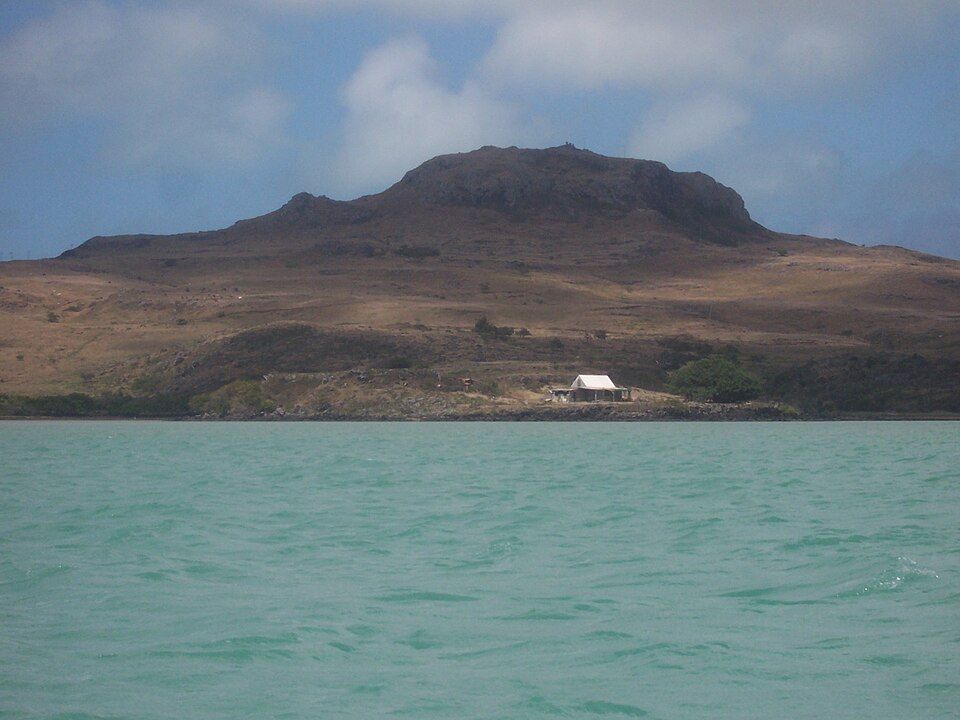
Our journey through Mauritius begins in Port Louis, crosses the main island, then flies east to Rodrigues. Tropical weather, volcanic uplands and surrounding reefs shape life here. Other small islands extend the country far beyond this route.
Your route
Five places, one journey
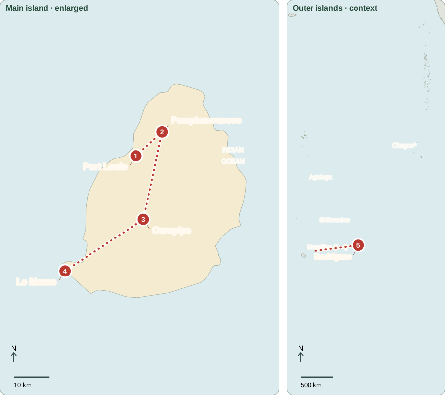
*Chagos is administered by Britain and claimed by Mauritius; the signed agreement is not yet in force (October 2026).
Port Louis
Arrivals that changed an island
At Aapravasi Ghat, surviving immigration buildings recall indentured laborers, many from India, who arrived after slavery ended. Their contracts promised wages but often brought harsh working conditions. Mauritius passed through Dutch, French and British colonial rule before independence in 1968. Today, voters elect the National Assembly, which passes laws. The prime minister leads a government supported by its majority; the president has a mainly ceremonial role.
Indenture was a labor contract, unlike legal ownership under slavery, but workers could still face coercion and severe restrictions. Reading the surviving site carefully helps distinguish these systems while recognizing the exploitation that shaped the island’s plantation economy.
Locate this stop on the map ↗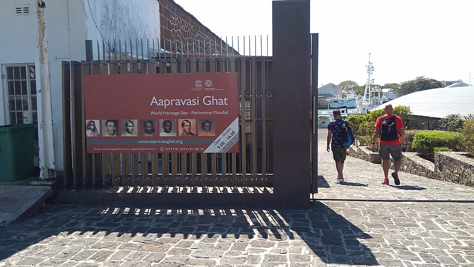
Pamplemousses
Sugar and a changing economy
North of the capital, a former sugar factory at Pamplemousses tells the story of cane cultivation. Warm conditions and rain helped sugar become a major export, built first on enslaved labor and later on indentured work. The economy now also earns income from clothing, tourism, finance and other services. Dependence on overseas customers means events far away can still affect island jobs.
A sugar factory links harvested cane with machinery, fuel and transport. Its conversion into a museum also shows economic change: a former production site now helps visitors understand the labor and trade behind a familiar everyday food.
Locate this stop on the map ↗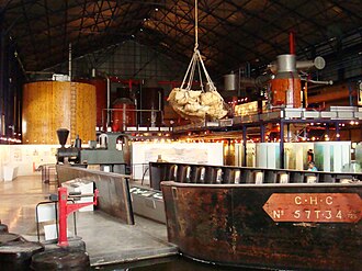
Curepipe
Cooler weather on the plateau
Heading south into the uplands brings us to Curepipe near the volcanic crater Trou aux Cerfs. Higher ground is cooler and wetter than parts of the coast. Reservoirs collect water, but drought and growing demand can strain supplies. Mauritian food reflects African, Asian and European connections; dholl puri is a flatbread filled with ground split peas. Communities practice several religions, with Hinduism, Christianity and Islam all represented.
Mauritian Creole is widely spoken. English is the National Assembly’s official language, with French also permitted there; this is more precise than calling both nationwide official languages. Language, food and religion show overlapping influences rather than separate, uniform communities.
Locate this stop on the map ↗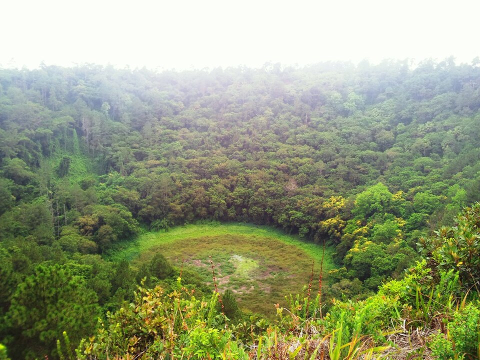
Le Morne
A mountain of remembrance
We descend southwest to Le Morne, a steep mountain above the sea. Enslaved people escaping plantations used this rugged landscape as a refuge. It remains a powerful place of remembrance. Nearby beaches support tourism, while reefs help protect the coast. Outside this route, the Chagos Archipelago is administered by Britain and claimed by Mauritius; a signed sovereignty agreement was not yet in force in October 2026.
The mountain’s steep slopes made escape and concealment possible, linking physical geography with resistance to slavery. Protecting Le Morne includes remembering that history as well as caring for a striking landscape. Its meaning extends beyond a scenic beach photograph.
Locate this stop on the map ↗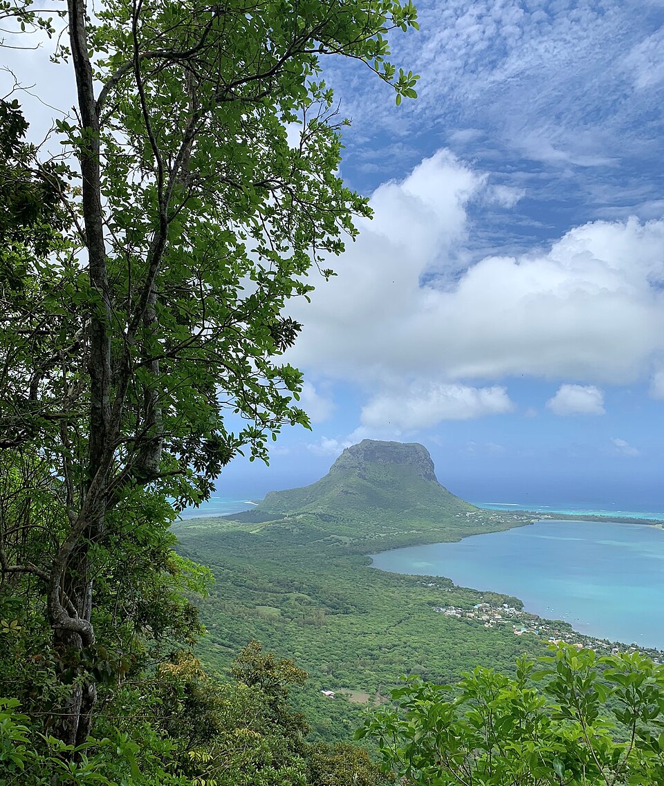
Rodrigues
Another island, different daily rhythms
A flight about 560 kilometers east reaches Rodrigues. Its lagoon supports fishing, and small farms raise crops and livestock. Rodrigues has an elected regional assembly within Mauritius. Distance makes shipping more costly, so reliable transport and careful use of local resources matter. Protecting reefs, managing fishing and securing freshwater help sustain livelihoods on this smaller island.
The lagoon is shallow water separated from the open ocean by reef. What happens on land can affect it: eroded soil and waste move downhill. Careful farming and coastal management therefore help safeguard both fishing and the island’s appeal to visitors.
Locate this stop on the map ↗