
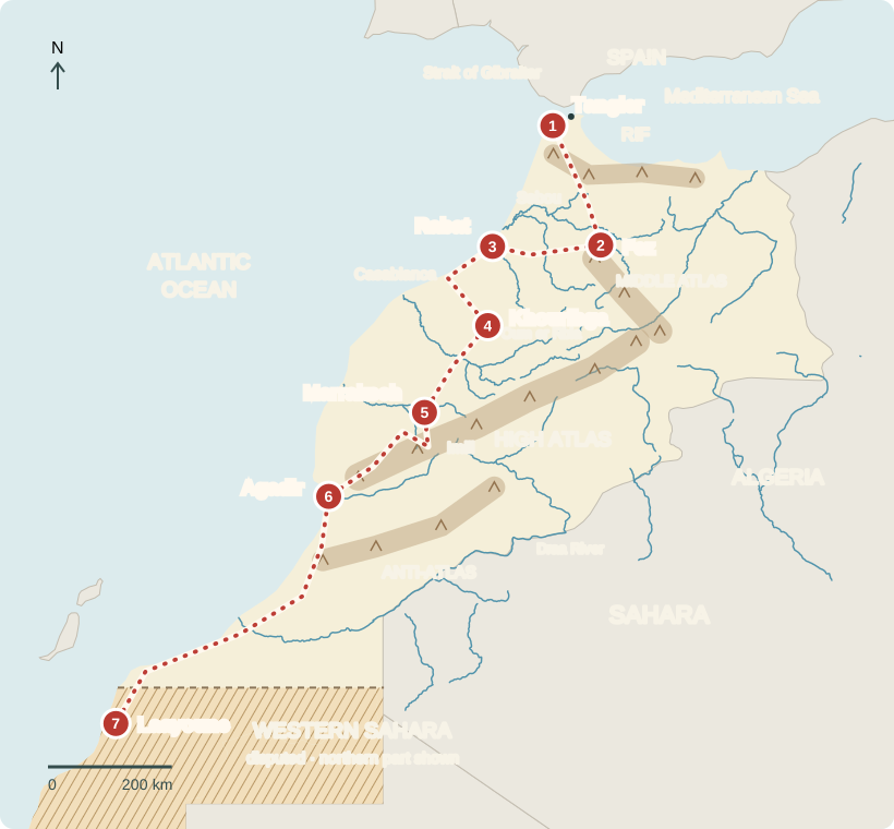
Our journey through Morocco begins beside the Strait of Gibraltar. Follow the red dots from ports to mountain villages and the Sahara. The north has mild, wetter winters and hot, dry summers; the south is desert.
Your route
Sea lanes to desert country
Red dots mark stops, not exact roads. Brown bands show mountains; blue lines show rivers. Hatching marks disputed Western Sahara. Open larger map ↗
Tangier & Tanger Med
A doorway to the world
Across the sea lies Spain. Near Tangier, cranes tower over Tanger Med port. Moroccan-built cars leave on ships: exports, made here and sold abroad. Nearby shipping routes help factories reach overseas buyers. Now head inland toward Fez. Many people live on coastal plains, where water, farmland, and jobs are more available.
Locate this stop on the map ↗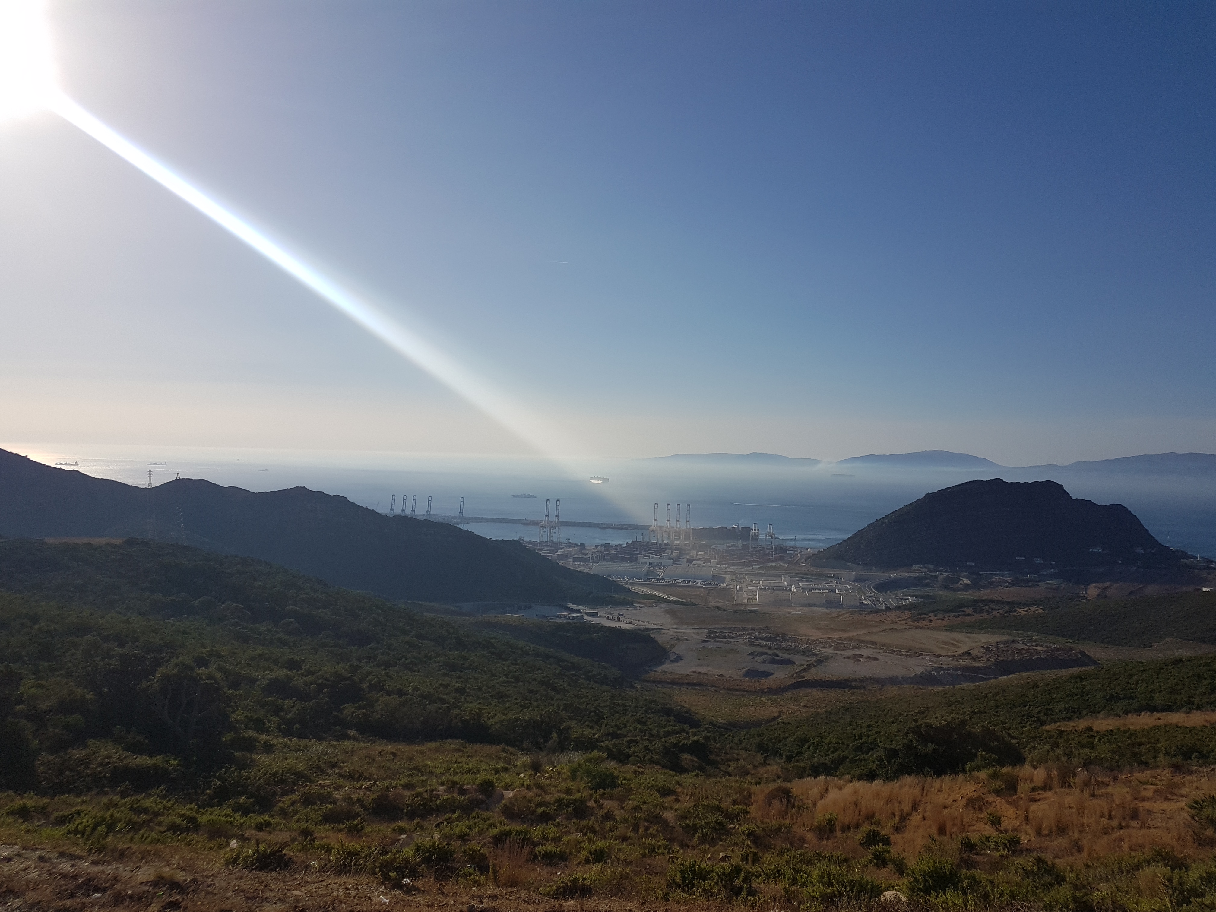
Fez
Follow the workshop lanes
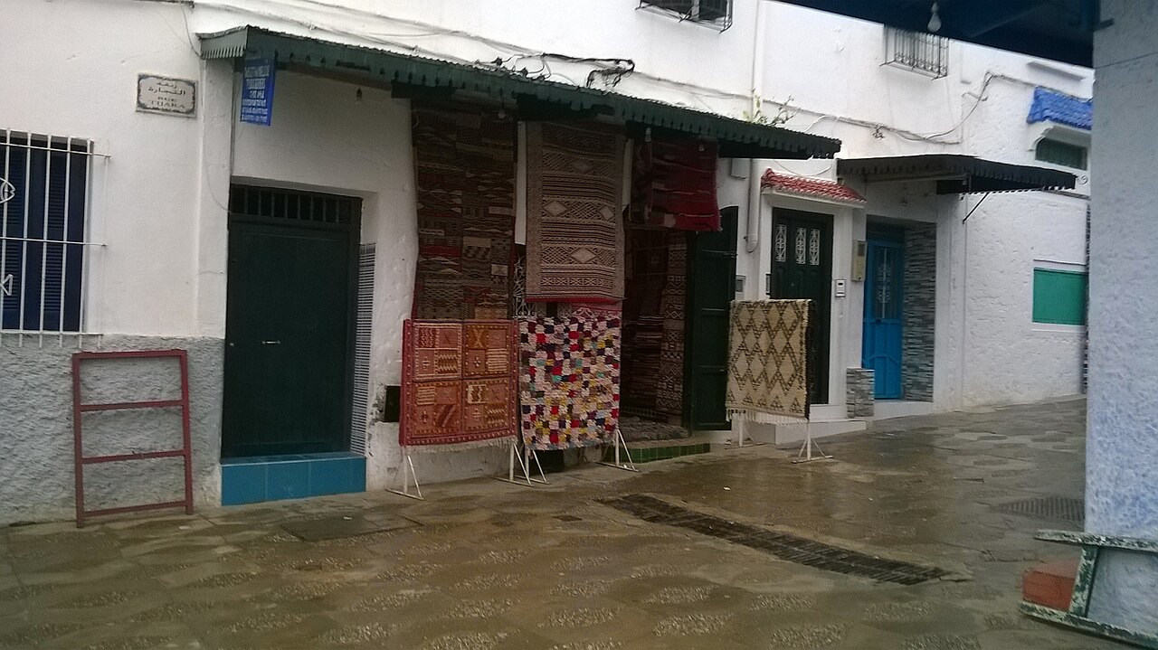
Enter Fez’s medina, or old city. Workshops turn hides into leather bags and slippers. Listen for Darija, Moroccan Arabic, and Amazigh languages. Amazigh peoples are Indigenous to Northern Africa. In carpet shops, notice woven colors, diamonds, and repeating patterns. Designs vary among communities and makers; symbols can carry cultural or personal meanings.
Locate this stop on the map ↗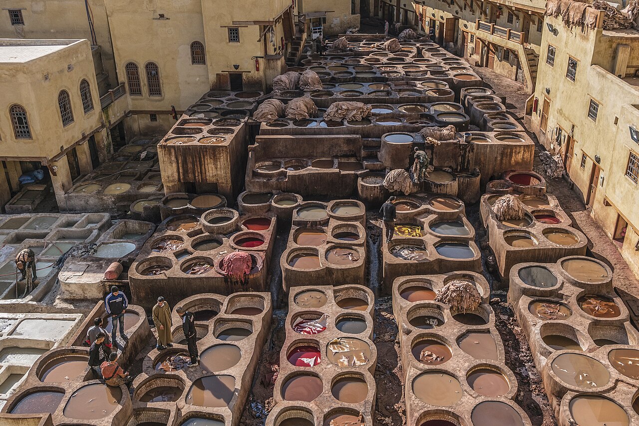
Rabat
Ride through the capital
Travel west to Rabat, the capital, and board a tram alongside people heading to school or work. Parliament meets here. Adults vote, but the king retains major power. Continue past Casablanca, Morocco’s largest city, toward Khouribga.
Locate this stop on the map ↗
Khouribga
A rock that helps crops grow
At Khouribga, mines uncover phosphate rock containing phosphorus, a nutrient plants need. A pipeline carries crushed rock mixed with water to coastal Jorf Lasfar. Factories turn it into fertilizer for farms in Morocco and abroad.
Locate this stop on the map ↗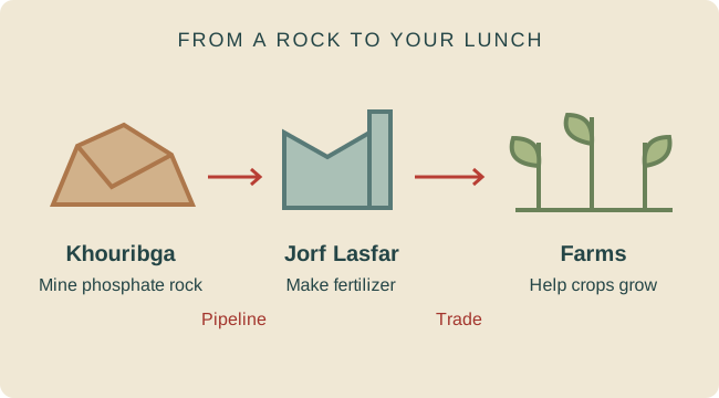
Marrakech & the High Atlas
From market to mountain
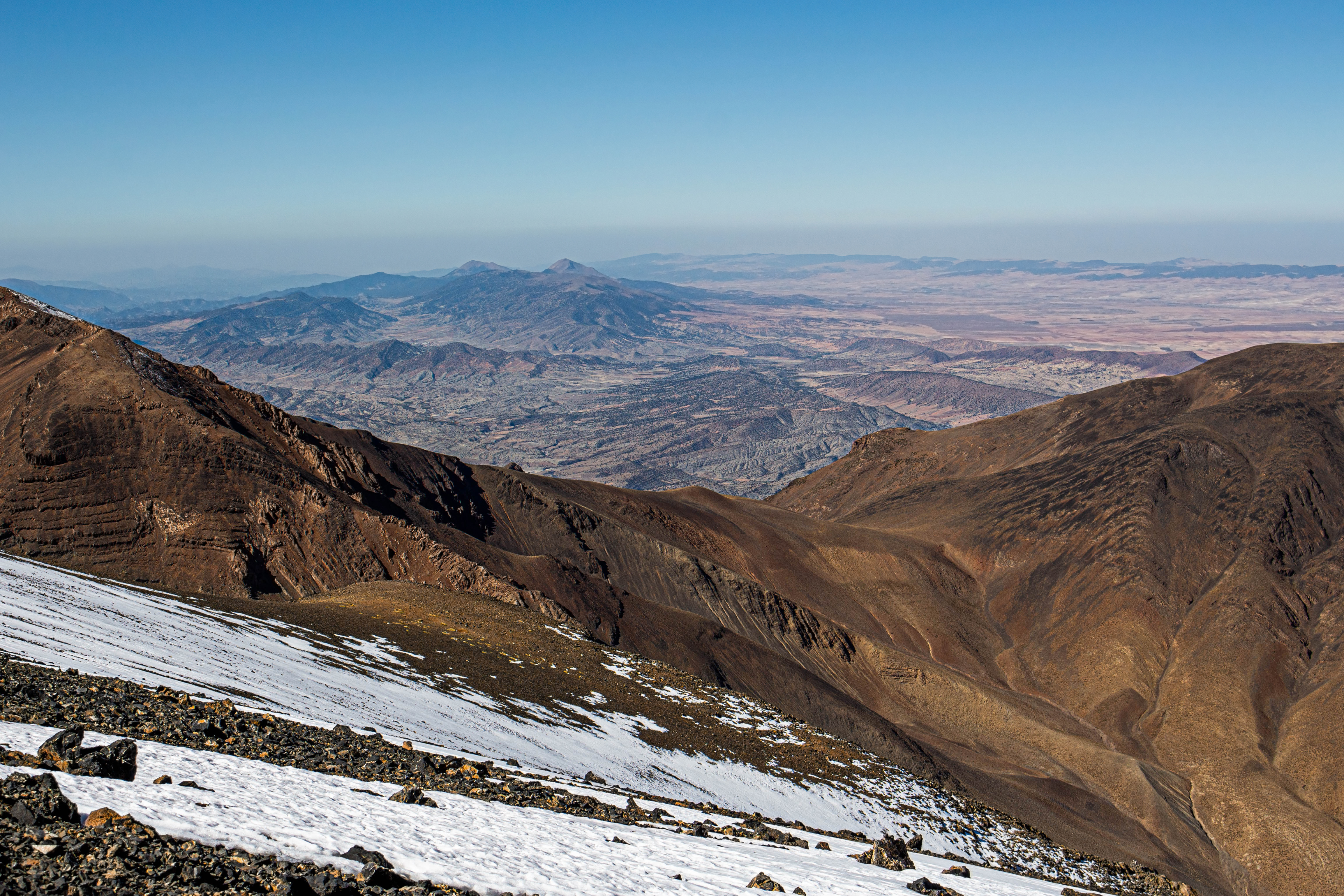
In Marrakech’s souks, sellers display rugs beneath the Koutoubia minaret. Most Moroccans are Muslim; Islam shapes holidays and daily routines. Pause for couscous, made from wheat with vegetables and sometimes meat. Continue into the High Atlas, whose rain and snow feed farms below. Mountain scenery and historic cities draw tourists, supporting guides and hotels. Drought threatens water supplies.
Locate this stop on the map ↗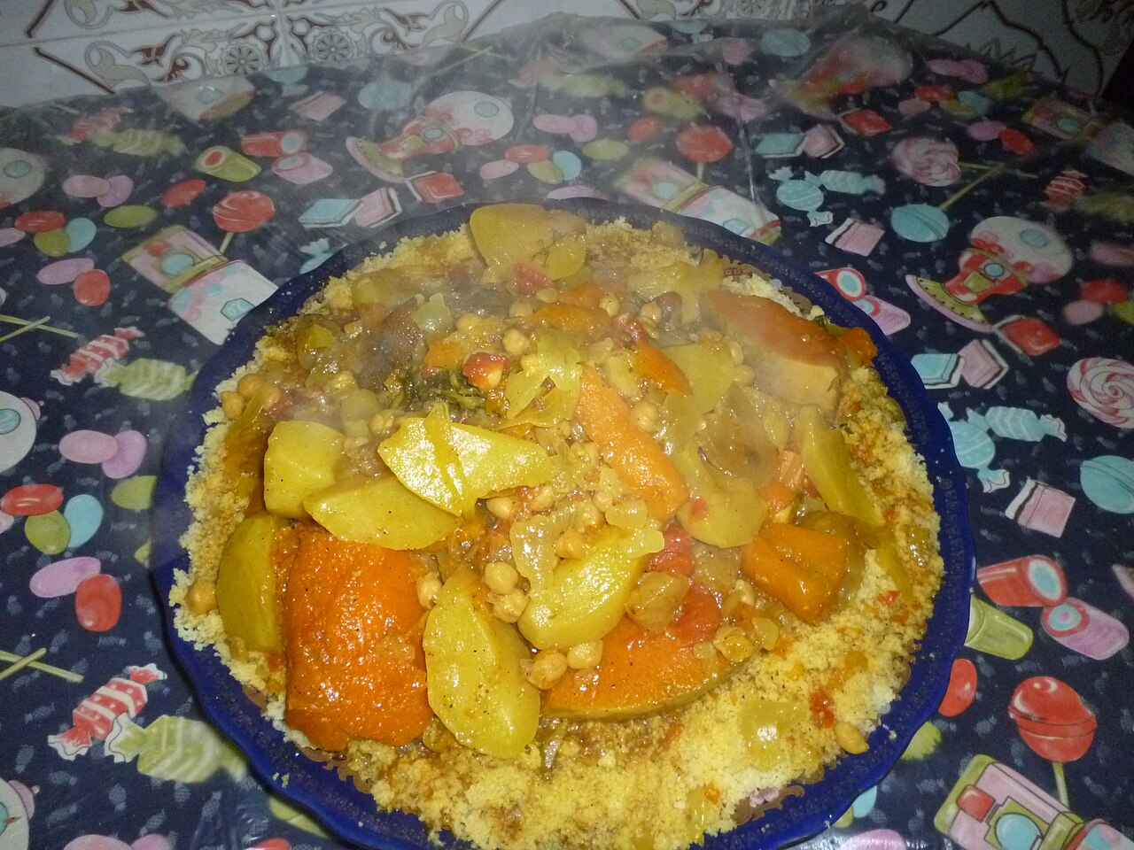
Agadir & the Souss region
Small seeds, valuable oil
Near Agadir, cooperatives make oil from argan kernels. Farms grow citrus, tomatoes, and other vegetables for local markets and export. Farther north, fields produce wheat and barley; southern oases grow dates. Rain supports farming in wetter areas, but dry regions need irrigation. Farms and towns must share limited water.
Locate this stop on the map ↗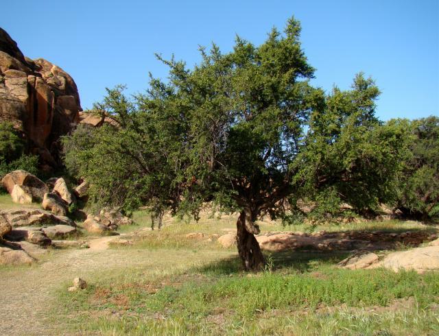
Laayoune / Western Sahara
A place with a disputed future
Farther south, our journey reaches Laayoune in disputed Western Sahara. Morocco controls most of the territory and claims it. The Polisario Front seeks independence for the Sahrawi people. Residents have differing views about their future.
Spain withdrew in 1976, but the dispute remains unresolved. The United Nations still lists Western Sahara as a territory whose people have not completed the process of deciding their political future.
Locate this stop on the map ↗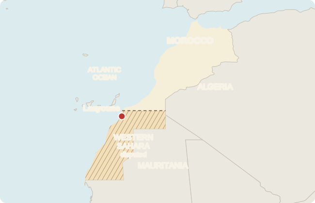
From ships to farms, Morocco’s places are connected by trade, water, and the people who live here.