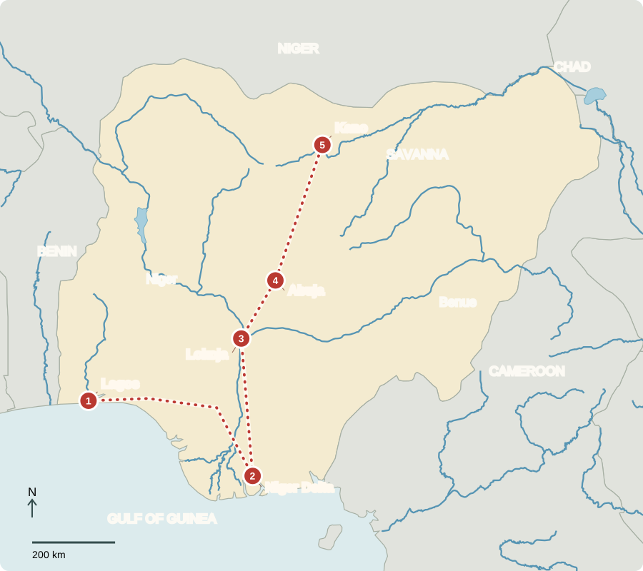
Our journey through Nigeria begins on the Atlantic coast and continues inland to the drier north. Long transfers reveal why one description cannot capture this large country.
Your route
Five places, one journey
Lagos
A city built around water
Bridges connect Lagos’s islands and mainland districts. Ports, manufacturing, technology, film and trade support this huge urban economy. Lagoons create routes for boats but also complicate building and transport. Nigeria gained independence from Britain in 1960. English links many language communities; Yoruba, Igbo and Hausa are among hundreds of African languages. Christianity and Islam are widely practiced, alongside other beliefs.
Lagos remains the largest city even though it is no longer the capital. A country’s political center and its busiest commercial center need not be the same place.
Locate this stop on the map ↗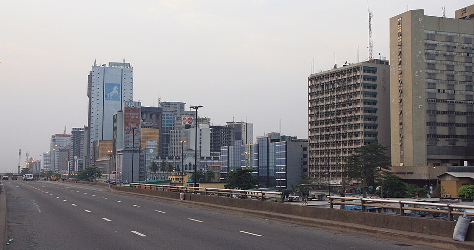
Niger Delta
Oil beneath the wetlands
Traveling east toward Port Harcourt, we enter a wet southern landscape of rivers and mangroves. Petroleum and natural gas are major exports. Oil extraction and spills have damaged some waterways and livelihoods. Farmers in southern Nigeria grow cassava, yams, oil palms, rice and cocoa; fish also provide food. Rain supports crops, but waterlogged ground is not automatically fertile farmland.
Oil income depends partly on world prices. Farming, manufacturing and services are also essential; the national economy is far broader than the products leaving oil terminals.
Locate this stop on the map ↗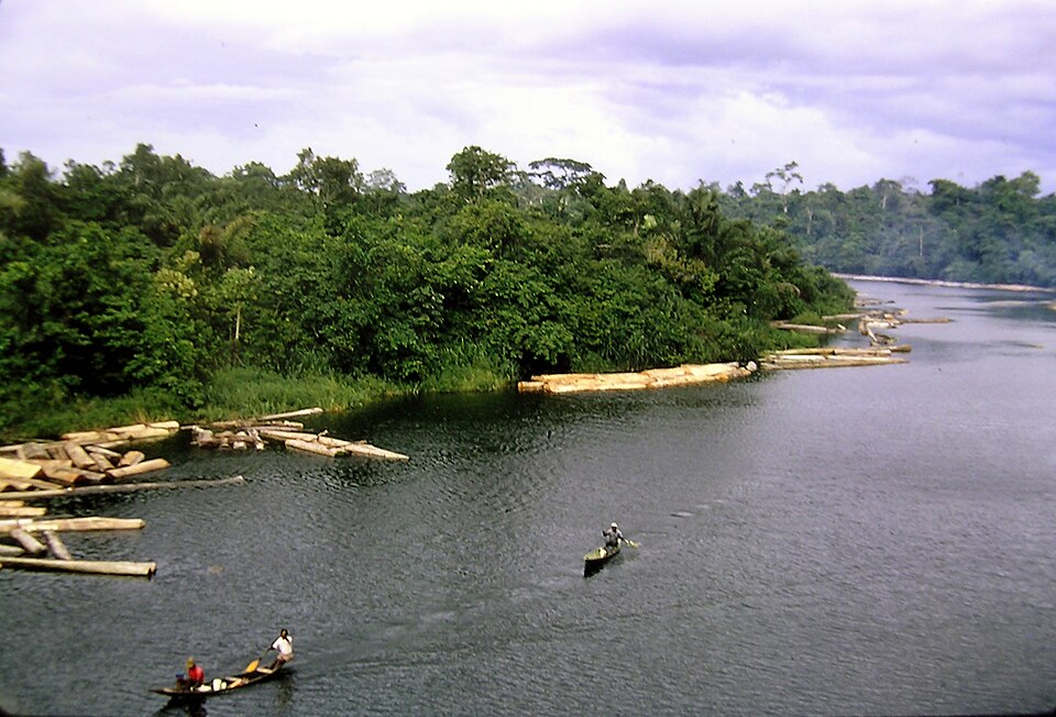
Lokoja
Two rivers come together
Heading inland, we reach the meeting of the Niger and Benue rivers. Floodplains offer water and farming land, while floods can destroy homes and fields. Irrigation and embankments alter how people use river water. Nigeria also has limestone, iron ore, tin and coal. Natural resources create possibilities, but transport, electricity, skills and investment influence how much value they bring.
A confluence is where rivers meet. Here, water arriving from different parts of a large basin comes together before continuing toward the Atlantic.
Locate this stop on the map ↗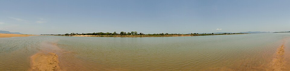
Abuja
A capital closer to the center
We continue north to the planned capital, which replaced Lagos as the seat of government in 1991. Its inland position offered a more central location within a diverse country. Nigeria is a federation: elected state governments share authority with an elected national president and legislature. Despite large industries and oil earnings, many Nigerians live in poverty. More reliable services and productive jobs remain important needs.
Government choices can influence how resources are used. Roads, electricity and schools are forms of investment that can help people produce and trade goods more effectively.
Locate this stop on the map ↗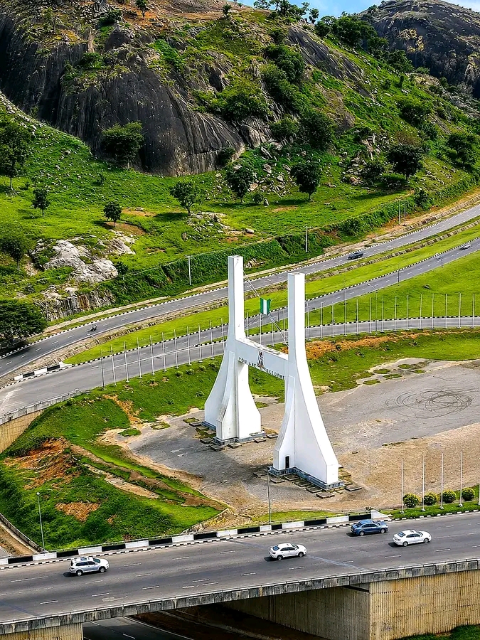
Kano
Dyes and dry-season trade
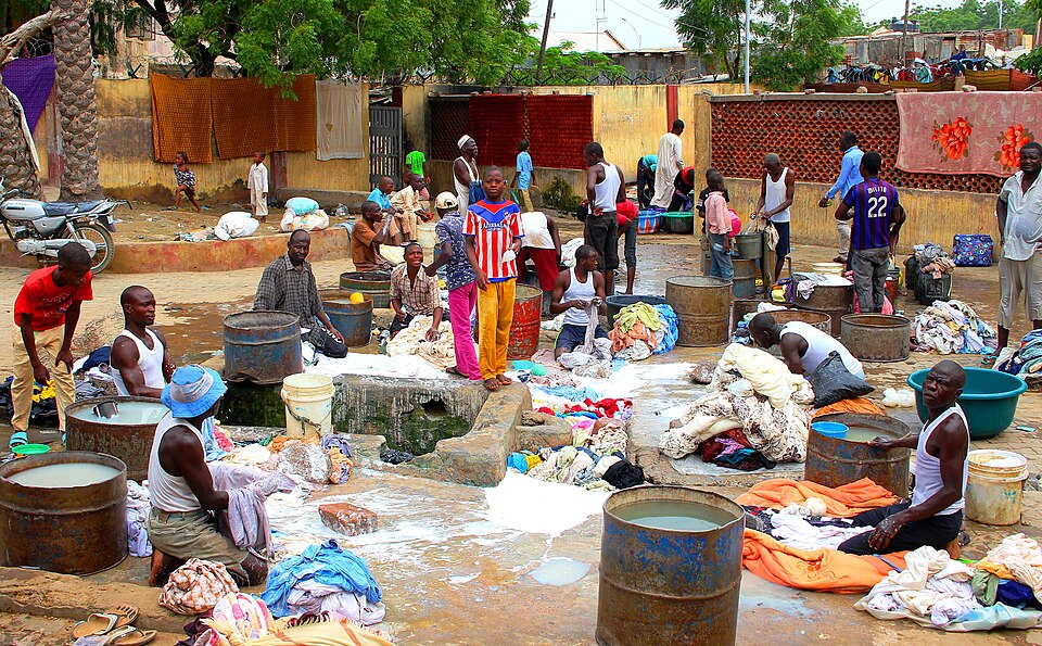
Farther north, Kano’s markets and dyeing traditions reflect long-distance commerce. The surrounding savanna has a longer dry season than the coast. Farmers grow millet, sorghum, groundnuts and cotton; irrigation supports some dry-season crops. Grains, beans and rice appear in many meals, with regional variations. Drought and insecurity can disrupt farming. Nigeria’s wet south and drier north show why “ample rain everywhere” would be misleading.
Northern and southern farms can supply different products to the same national market. Trade connects places whose seasons, crops and natural resources are not identical.
Locate this stop on the map ↗