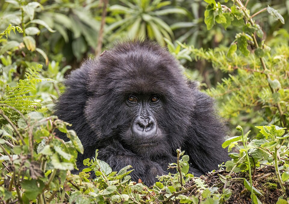
Our journey through Rwanda begins in Kigali and curves southwest before following Lake Kivu north. In this small, landlocked country, elevation brings cooler weather, and rain feeds farms on steep hills.
Your route
Five places, one journey
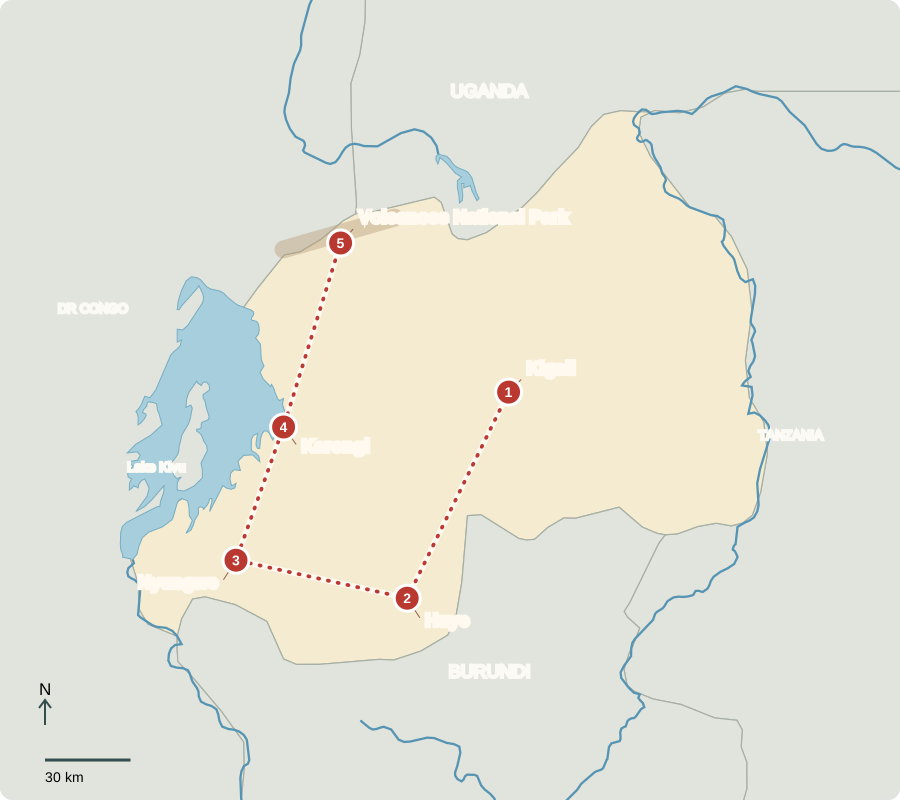
Route lines connect learning stops, not exact roads.
Kigali
Hills and remembrance
Kigali spreads across ridges and valleys, with shops, offices and growing neighborhoods. Memorials remember the 1994 genocide against the Tutsi, when extremist forces murdered Tutsi people and others who opposed them. Rebuilding communities remains important. Rwanda elects a president; the president appoints a prime minister, while parliament makes laws. Political competition is restricted despite regular elections.
The hills help explain the city’s shape: roads connect neighborhoods at different heights instead of spreading across one flat plain. Outside the city, similar slopes are cultivated. Protecting soil matters wherever construction or farming exposes the ground to heavy rain.
Locate this stop on the map ↗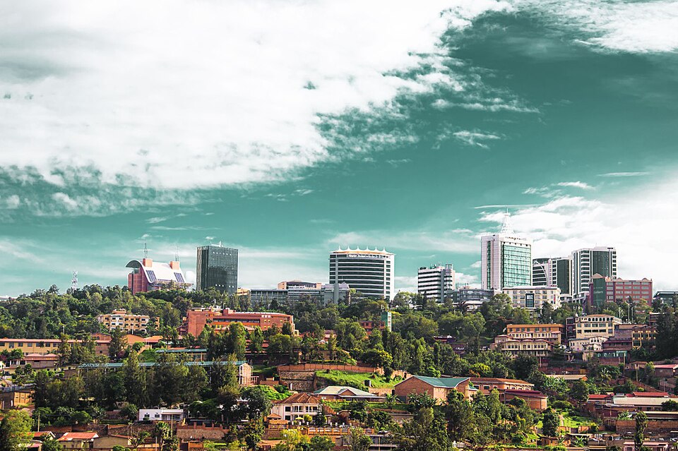
Huye
Skills passed between generations
We travel south to Huye’s Ethnographic Museum. Baskets and other objects reveal skills passed through families. Beyond town, small farms grow beans, bananas and other foods, while coffee earns export income. Land is limited, so terraces—steps cut across slopes—help reduce soil loss and keep water near crops.
A terrace slows water rushing downhill, giving it more time to soak into the soil. This links a visible pattern—the steps crossing a hillside—to a practical need. Families must grow food while protecting the small areas of land they farm.
Locate this stop on the map ↗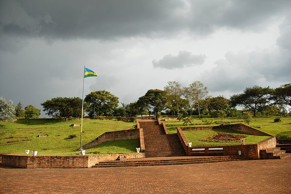
Nyungwe
Rain held by a forest
Westward, tea fields border Nyungwe’s mountain forest. Chimpanzees and many birds live here. Tree roots hold soil, and the forest helps regulate water flowing to surrounding communities. Clearing trees would threaten both wildlife and water supplies. Guided visits create work, but tourism must avoid damaging the habitat that draws people.
Forest conservation also matters beyond the park boundary. Water does not stop at a fence, and damage uphill can affect farms and settlements below. Tea fields and protected forest sit close together, making land-use decisions important to both wildlife and farmers.
Locate this stop on the map ↗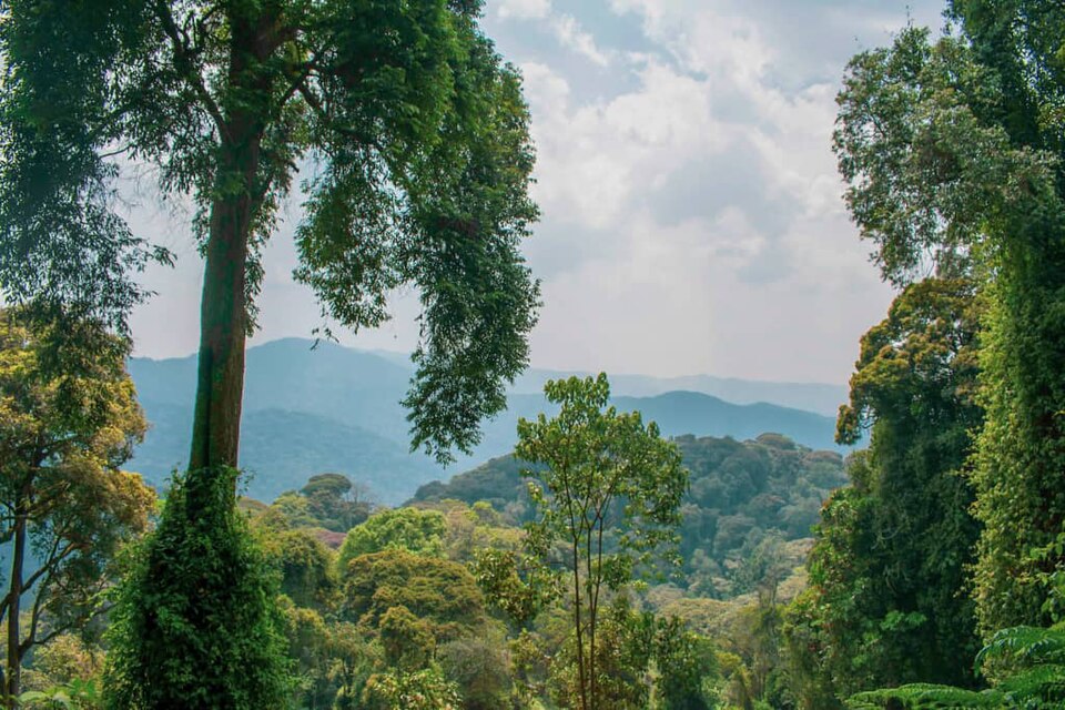
Karongi
Life along Lake Kivu
Turning north, we reach Karongi on Lake Kivu, a deep lake in the western Rift. Fishing and lakeside tourism provide income; boats connect shoreline settlements. Tea and coffee from the hills travel onward to distant markets. Because Rwanda has no seacoast, exports must cross other countries to reach ocean ports, adding transport costs.
Lake boats and cross-border roads serve different parts of the same economy. A fishing household sells a local catch, while a coffee grower depends on distant buyers. Both need reliable transport to turn a product into income for everyday expenses.
Locate this stop on the map ↗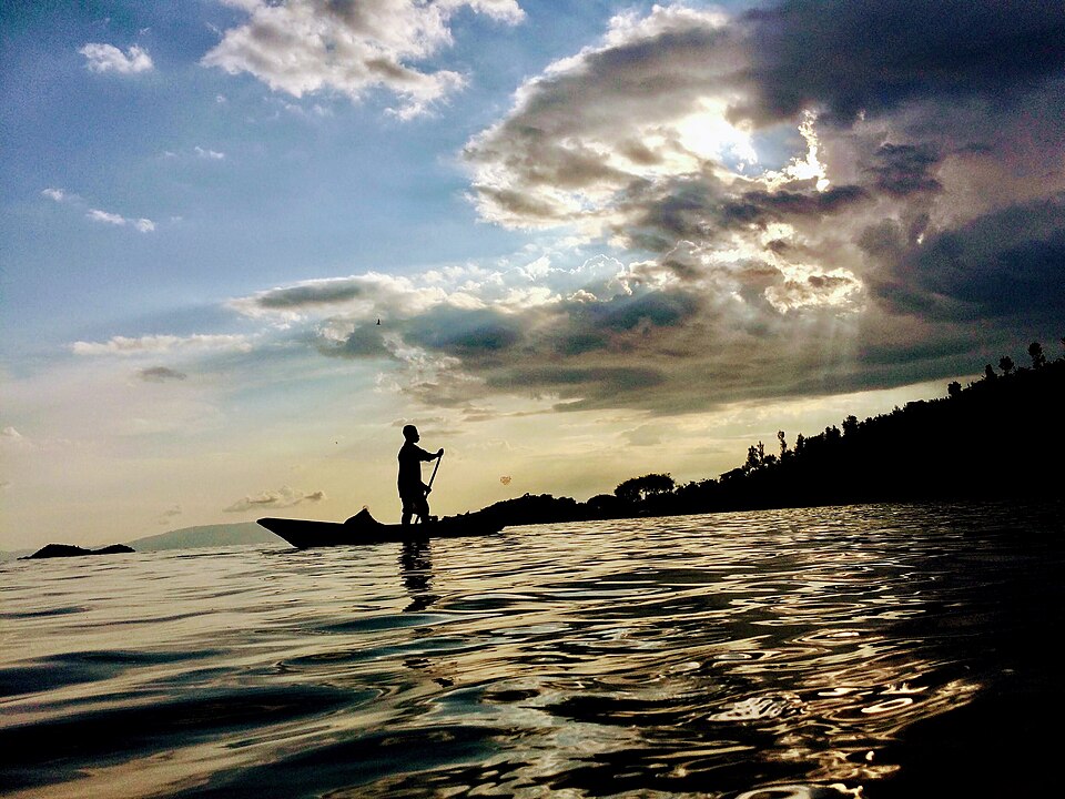
Volcanoes National Park
Keeping gorillas healthy
Our final road journey reaches the Virunga volcanoes. Mountain gorillas eat leaves, shoots and other plants. They remain endangered even though conservation has helped their population increase. Habitat loss, disease and snares threaten them. Rangers remove snares, veterinarians treat sick gorillas, and visitor fees support conservation and communities. Keeping distance, following park rules and supporting credible conservation groups can help. Tourism creates a reason to protect forests, but it cannot solve every local problem.
Healthy forests and healthy communities are connected. Families living near protected land need ways to earn a living without clearing more habitat. Conservation income can help, but protection also depends on daily work by local people, researchers, rangers and health specialists.
Locate this stop on the map ↗