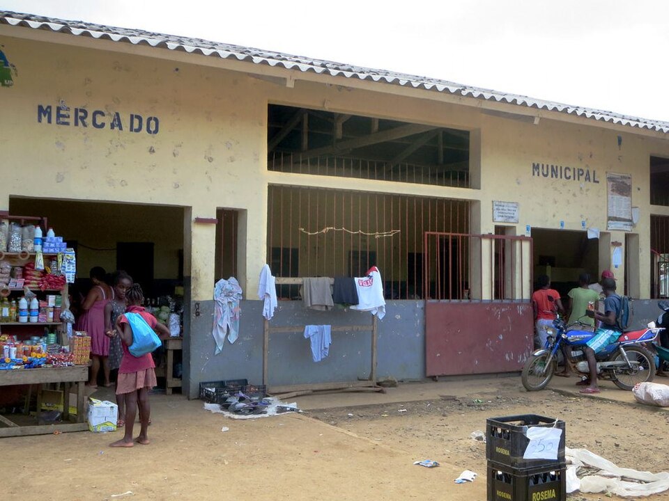
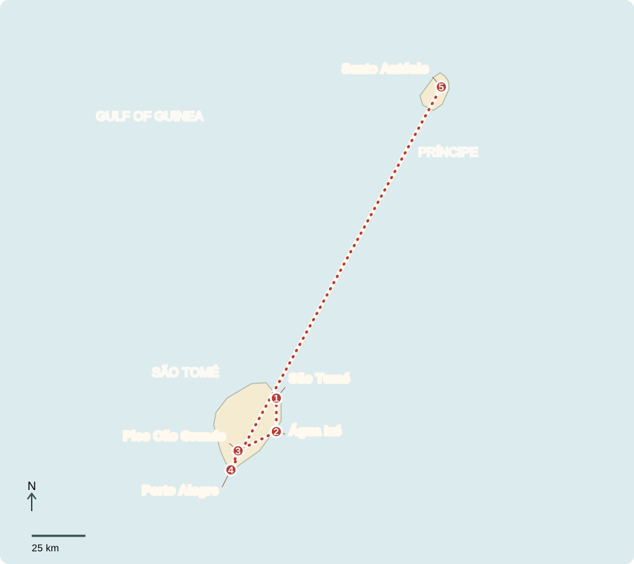
Our journey through São Tomé and Príncipe begins on the larger island, follows plantations and volcanic landscapes south, then crosses the sea to Príncipe. Boats and flights connect this small Atlantic country with distant markets.
Your route
Five places, one journey
São Tomé
A small capital with big connections
The capital curves around Ana Chaves Bay. Markets, fishing boats and government offices concentrate people and services here. Voters choose a president and parliament; a prime minister leads the government with parliamentary support. Multiparty elections have allowed changes of government, although political tensions and attempted coups have occurred. Imported food and fuel make the country vulnerable to high shipping costs.
Locate this stop on the map ↗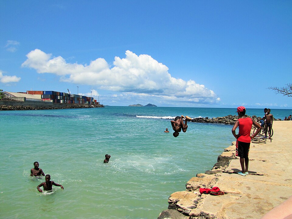
Água Izé
What a plantation remembers
South along the coast, Água Izé preserves buildings of a roça, or plantation estate. Portuguese settlement began in the late 1400s, turning uninhabited islands into sugar plantations worked by enslaved Africans. Coffee and cocoa later became major crops, with coercive labor continuing after slavery ended. Independence came in 1975. Cocoa still earns export income; fair returns and better working conditions matter to growers.
A plantation’s grand buildings and workers’ quarters tell different parts of the same history. The landscape preserves evidence of unequal control over land, labor and the wealth produced by export crops.
Locate this stop on the map ↗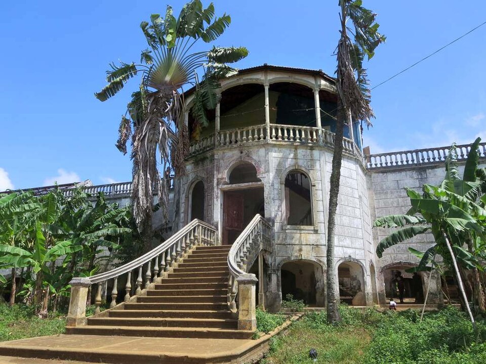
Pico Cão Grande
A tower above the forest
Farther south, a steep volcanic rock tower rises above tropical forest. The islands formed through volcanism along the Cameroon volcanic line. Mountain slopes intercept moist air, making some districts much wetter than others. Heavy rain can trigger floods and landslides that damage roads and farms.
Forested slopes also help hold soil and regulate runoff. Clearing steep ground can increase erosion, carrying sediment toward streams and settlements below.
Locate this stop on the map ↗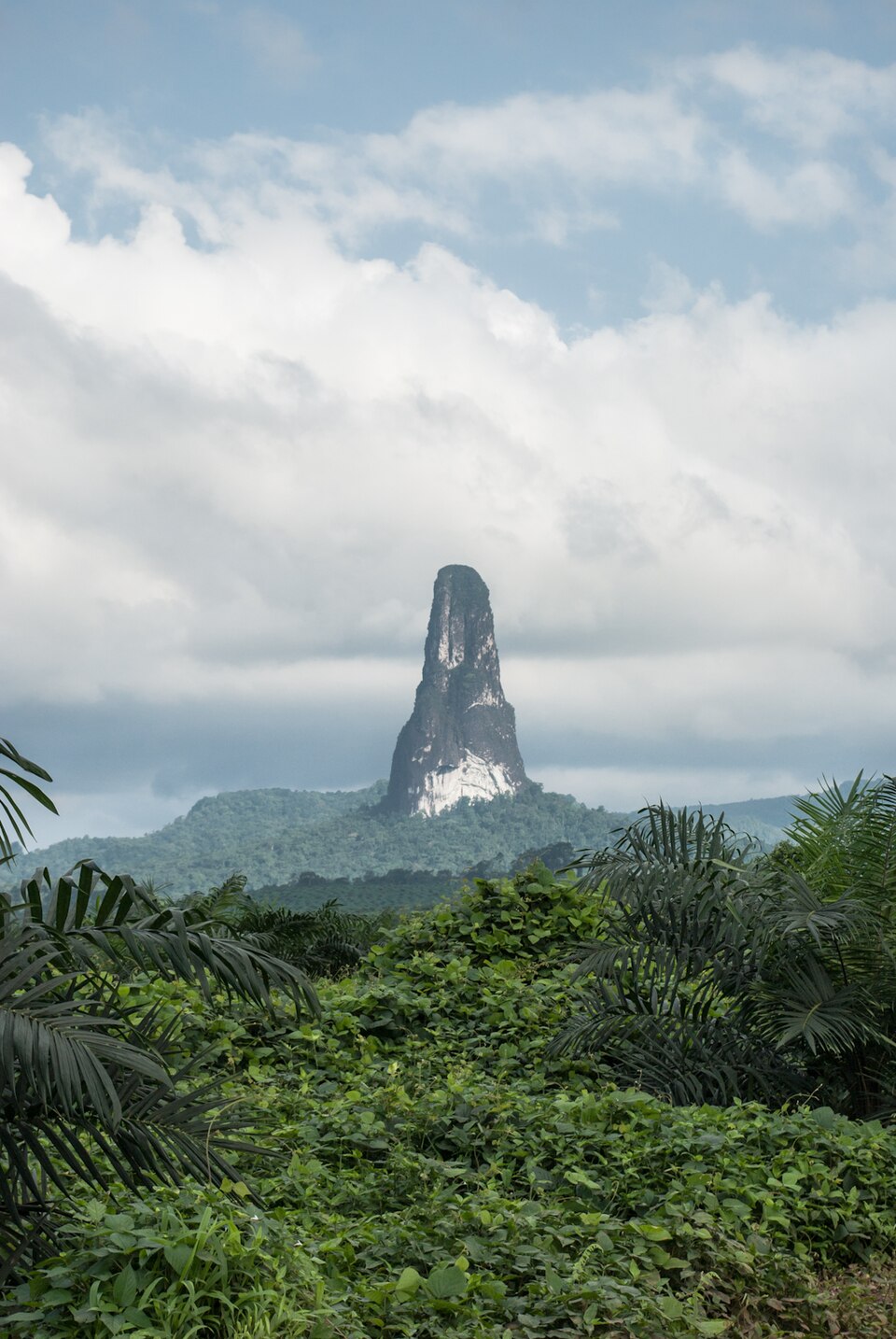
Porto Alegre
Food, fishing and rising water
Near the southern tip, fishing, bananas, breadfruit and cassava connect land and sea to daily meals. Coastal flooding and erosion threaten settlements. Better drainage and safer building sites can protect homes, while reliable electricity, clean water and clinics remain development needs. Christianity, especially Catholicism, is widespread; local languages and cultural practices reflect several African and European roots.
Locate this stop on the map ↗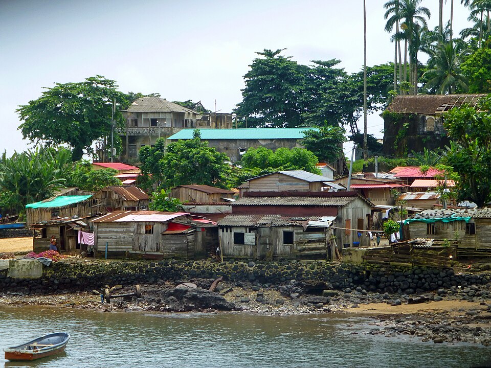
Santo António
A smaller island’s living forest
A flight or sea crossing leads north to Príncipe and its small town of Santo António. Forests shelter birds found nowhere else. Nature tourism and carefully managed cocoa production offer income, but an island has limited land and freshwater. Conservation works best when local communities share its benefits. Schools, training and dependable transport help young people take part in these opportunities.
Protecting a species found on only one island has global importance: if its habitat disappears there, it may have nowhere else to survive. Guides and growers can both contribute to conservation.
Locate this stop on the map ↗