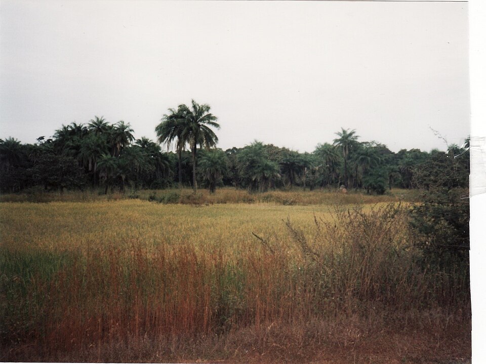
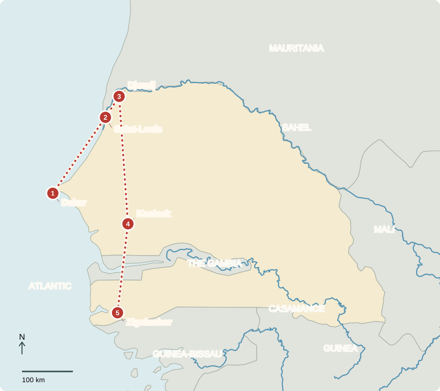
Our journey through Senegal begins on Dakar’s Atlantic peninsula, heads north to river wetlands, then turns toward the greener south. Road journeys connect the stops.
Your route
Five places, one journey
Dakar
A peninsula facing the world
Dakar’s harbor links Senegal with overseas markets. Fishing, shipping, services and industry provide work in this busy capital. Voters elect the president and national legislature. Senegal became independent from France in 1960, helping explain the official use of French. Wolof and other languages remain central to daily conversation. Most residents are Muslim, and different religious communities contribute to public life.
A port needs more than a good shoreline: roads, trained workers, warehouses and markets help turn location into economic opportunity. Dakar brings these connections together.
Locate this stop on the map ↗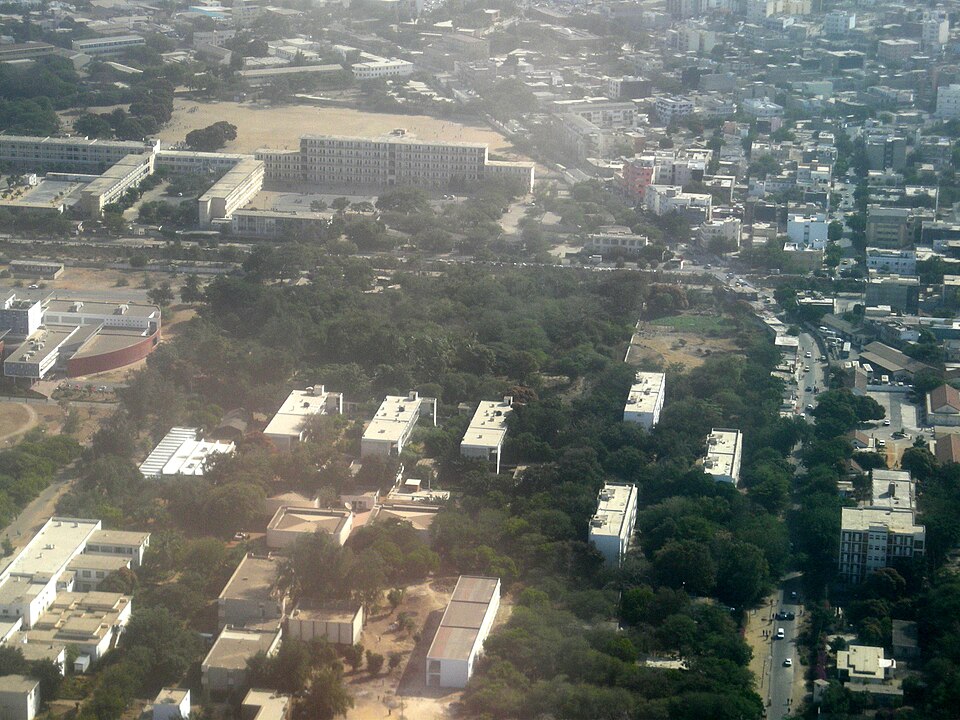
Saint-Louis
Living between river and ocean
Heading north, we arrive where the Senegal River approaches the Atlantic. Fishing neighborhoods and older trading buildings reflect two waterways meeting. River irrigation helps farmers grow rice in a region with a long dry season. Low-lying homes face flooding and coastal erosion. People’s efforts to manage water must consider both farmland upstream and settlements close to the sea.
A river border does not stop water from moving. Communities on both sides depend on the same river system, making cooperation over water important.
Locate this stop on the map ↗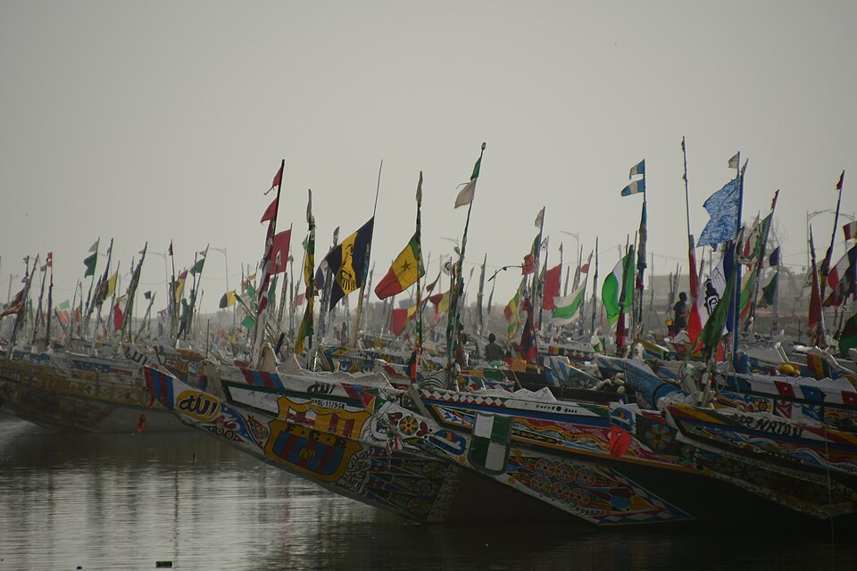
Djoudj
A resting place for travelers with wings
A short inland journey reaches wetlands used by pelicans and migrating birds. Fresh water near the Sahara makes this a valuable feeding and resting area. Managing river flows helps maintain habitats as well as farms. Senegal’s northern Sahel is relatively dry; rainfall generally increases southward. The entire country has seasonal rainfall rather than year-round wet weather.
Birds cross national borders during migration. Conserving one wetland helps protect a much wider chain of resting and feeding places along their journeys.
Locate this stop on the map ↗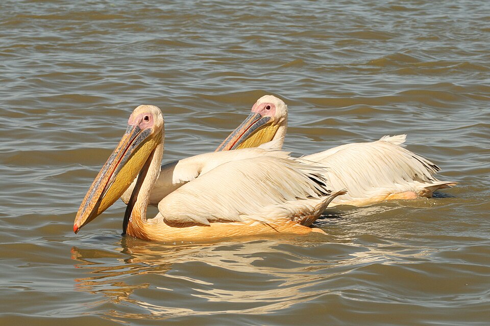
Kaolack
Groundnuts from field to market
Turning south, we enter the groundnut-growing region. Groundnuts, also called peanuts, supply food and oil; millet is another important crop. Salt and phosphates add mineral resources to an economy that also exports fish. Drought and changing prices threaten farm incomes, and many rural households have limited resources. Skilled work, better roads and processing crops locally can increase the value of what farmers produce.
Groundnuts are legumes, although their familiar food name says “nuts.” Their uses in cooking and oil production connect farm harvests with kitchens and processing businesses.
Locate this stop on the map ↗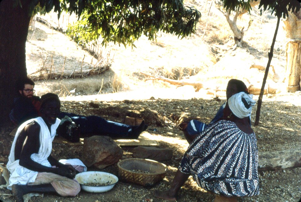
Ziguinchor
Rice in the Casamance
Our final long transfer reaches the Casamance, south of The Gambia. Its wetter landscape includes rice fields, mangroves and woodland. Farmers manage water around low fields, while fish and rice meet in regional cooking. Musical storytellers in Senegal preserve family histories and lessons through performance; practices vary among communities. The green surroundings remind us that Senegal contains far more than its dry northern edge.
The Gambia’s narrow river corridor separates much of southern Senegal from its north. Geography makes bridges, ferries and cross-border travel especially important to connections.
Locate this stop on the map ↗