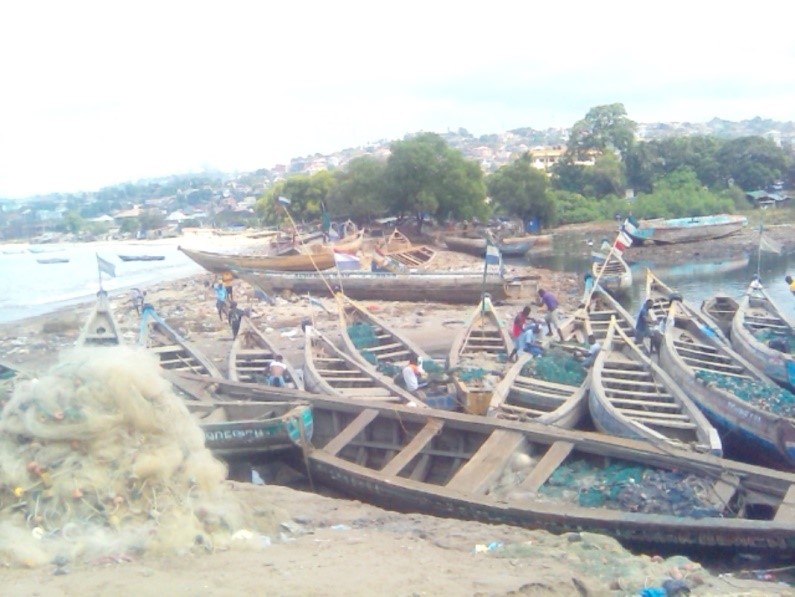
Our journey through Sierra Leone begins beside Freetown’s harbor, heads inland through farms and mining country, then returns toward the southern coast. The rainy season shapes every stage.
Your route
Five places, one journey
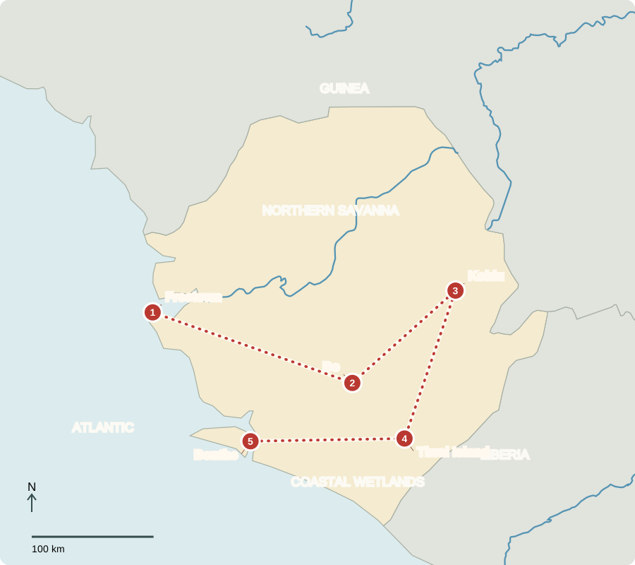
Freetown
Hills above a harbor
Steep green hills rise behind the capital’s harbor. Its settlement history includes formerly enslaved people arriving from across the Atlantic; Indigenous communities already lived in the region. Sierra Leone became independent from Britain in 1961. Voters elect a president and parliament. Krio connects many language communities. Heavy seasonal rain supports vegetation but also increases flood and landslide risks where slopes lose their cover.
A harbor can connect farms and mines with ships, but inland roads still determine how easily products reach it. Heavy rain can make those connections harder.
Locate this stop on the map ↗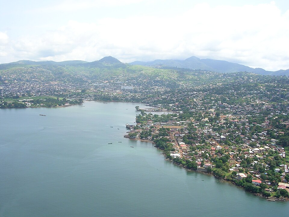
Bo
Making room for rice
Traveling inland, we pass rice farms on uplands and in low, wet valleys. Some farmers clear and manage inland swamps for rice, changing drainage and vegetation. Rain is plentiful compared with the Sahel, but fields still need labor, good soil management and reliable roads. Cassava, groundnuts and palm products add food and income. Rice with cassava-leaf sauce is one familiar meal.
Palm kernels are the seeds inside oil-palm fruits. Processing the fruit and kernels creates useful oils, showing how a crop can support several kinds of work.
Locate this stop on the map ↗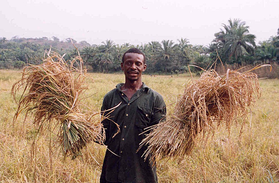
Koidu
Minerals below the ground
We turn northeast into diamond-mining country. Sierra Leone also has iron ore, bauxite and titanium-bearing minerals. Mining produces exports, but disturbed land and polluted water can harm farming and communities. Valuable stones do not mean every household is wealthy: poverty remains widespread. Better processing, transport and public services can help turn resource earnings into broader opportunities.
A mine’s output is not the same as a family’s income. Wages, local businesses, taxes and public spending affect how widely the benefits spread.
Locate this stop on the map ↗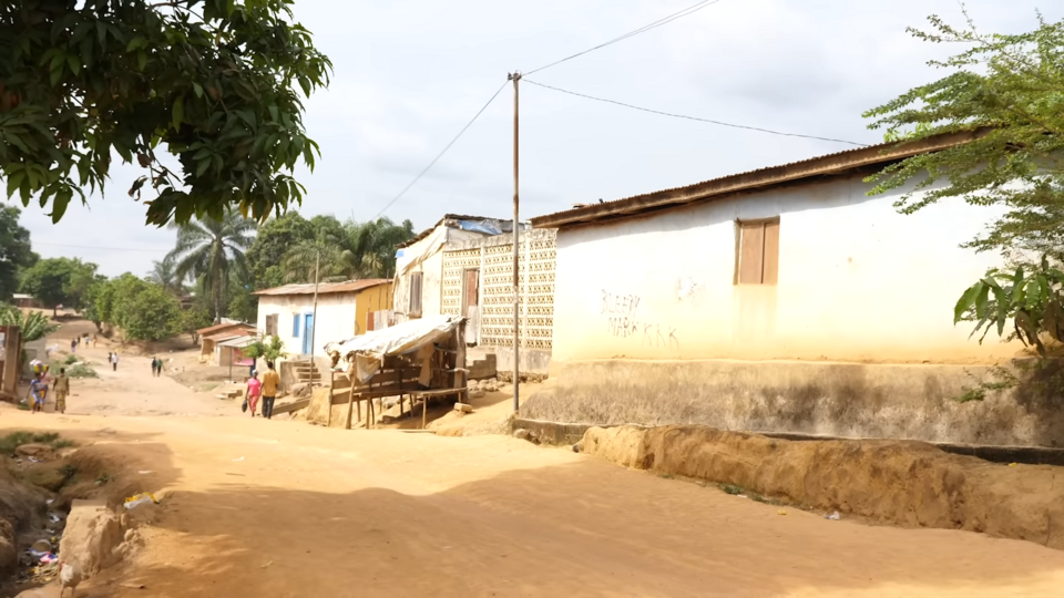
Tiwai Island
Forest protected by a river
A long southern transfer reaches Tiwai in the Moa River. Rainforest shelters monkeys and other wildlife, within a wider landscape important to rare pygmy hippos. Nearby farming regions produce cocoa and coffee as cash crops. Clearing more forest may bring short-term farmland while reducing wildlife habitat and soil protection. Conservation and community livelihoods need to be planned together.
Forest roots hold soil, while tree cover shelters a variety of living things. Keeping some forest standing protects more than just the trees themselves.
Locate this stop on the map ↗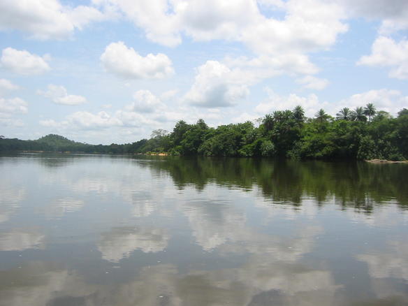
Bonthe
The coast feeds inland markets
We finish with a boat journey to Bonthe on Sherbro Island. Fishing and coastal wetlands connect the sea with local livelihoods. Muslims and Christians live throughout Sierra Leone, alongside other traditions; no single language or custom represents everyone. The country’s forests, savannas, hills and mangroves also resist a single description. A wet season offers farming opportunities, but floods, poor roads and food costs can still make daily life difficult.
The southern coast is wetter than the far northern savannas of Western Africa. Even here, however, harvest success depends on soil, tools, rainfall timing and markets.
Locate this stop on the map ↗