Our journey through Somalia follows Indian Ocean cities, southern river farms and the northern Gulf of Aden coast. Distances are long and conflict restricts movement; these stops are an educational route, not travel directions.
Your route
Five places, one journey
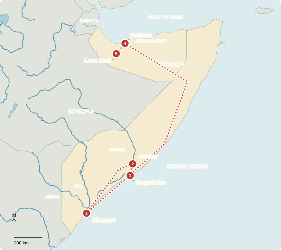
*Somaliland governs separately and claims independence; Somalia claims it. Dashed lines are map-provider boundaries, not agreed sovereignty. Air transfer north.
Mogadishu
A city connected overseas
Mogadishu’s port, markets and communications businesses connect the capital to other places. Money sent home by Somalis abroad helps many households. Federal institutions share authority with regional governments. Parliament selects the president, who appoints a prime minister; political agreements and constitutional changes remain disputed. Decades of conflict have damaged services, and armed groups still threaten communities.
A household receiving money from relatives abroad is connected to an economy far beyond its neighborhood. Communications and payment services help maintain those connections. Yet income alone cannot replace dependable public services: roads, water systems, schools and health care also need institutions and workers.
Locate this stop on the map ↗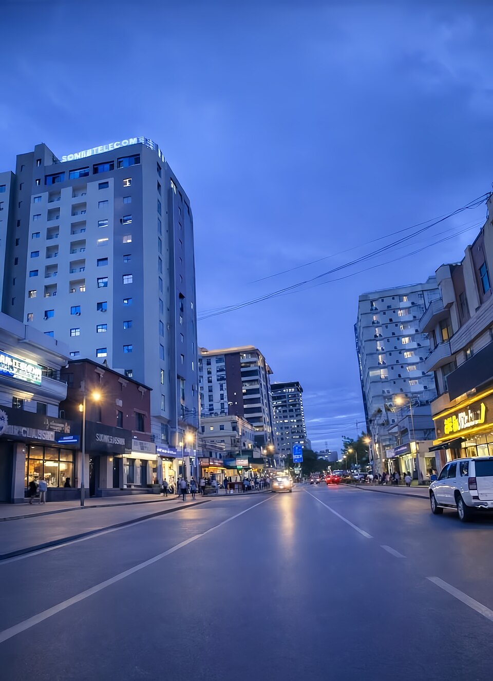
Jowhar
Farming beside the Shabelle
North of the capital, the Shabelle River brings water to Jowhar’s farms. Maize, sesame and other crops grow where water is available, contrasting with drier grazing lands. Irrigation can support harvests, but floods damage fields and drought reduces river flow. Managing channels and warning communities about floods can protect both crops and homes.
Flood and drought may seem like opposites, but both can harm the same farming community in different seasons. Too little water prevents crops from growing; too much can wash away fields and homes. Reliable channels and warnings help people manage these changing conditions.
Locate this stop on the map ↗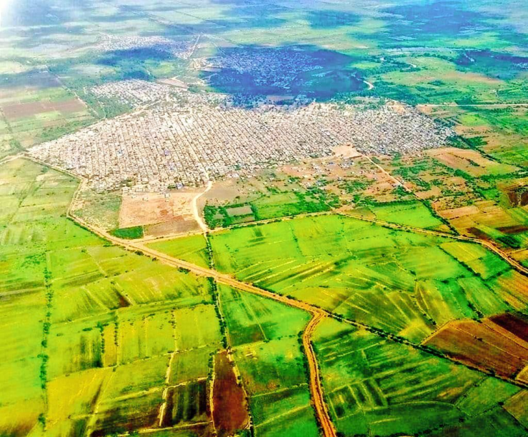
Kismayo
A southern harbor
A long transfer southwest takes us to Kismayo. Fishing and port trade connect the coast with inland communities. Livestock are major exports, and bananas are grown in the wetter south. Most Somalis are Muslim; Somali poetry and storytelling carry history and ideas across generations. Fish, grains and livestock products link meals to different environments.
A harbor connects products from land and sea. Herders need routes to buyers, while fishers need places to land and sell a catch. These activities depend on transport and security as well as natural resources, so conflict can disrupt work far beyond a battlefield.
Locate this stop on the map ↗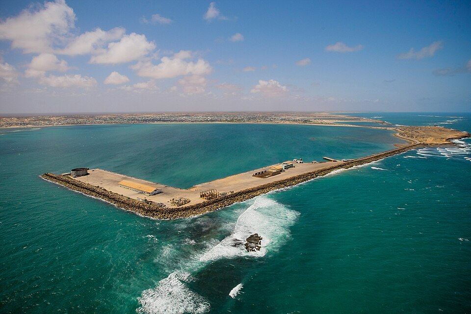
Berbera
Trade on the Gulf of Aden
We shift north by air to Berbera, in Somaliland. Its authorities govern separately and claim independence; Somalia claims the territory, and most countries recognize it as part of Somalia. The port exports livestock and links inland trade routes to the sea. Pastoral families move camels, sheep and goats in search of grazing, but repeated drought can destroy herds.
The port links maritime business with grazing lands that may be hundreds of kilometers away. Livestock raised inland must reach buyers through dependable routes. Drought can reduce the number of animals available to sell, affecting traders as well as herding households.
Locate this stop on the map ↗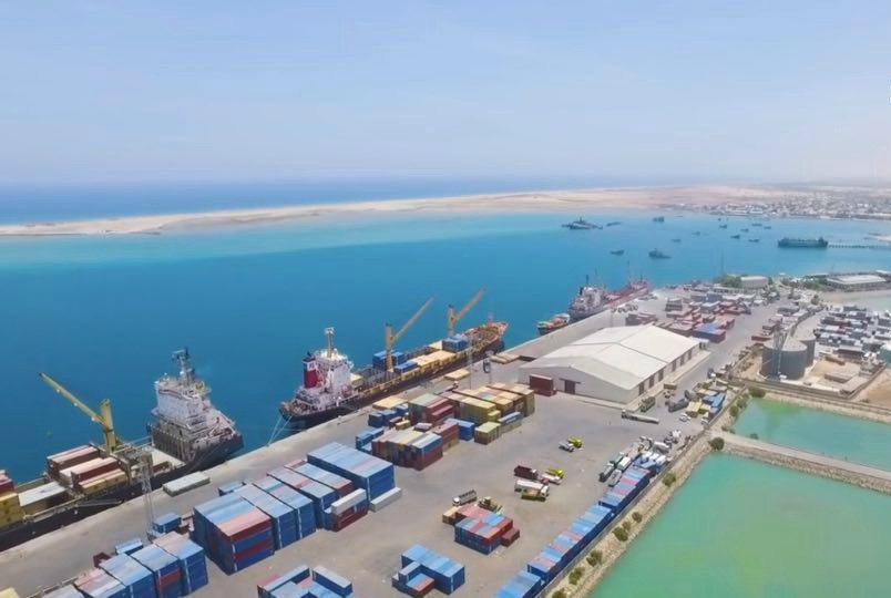
Laas Geel
Painted cattle, ancient lives
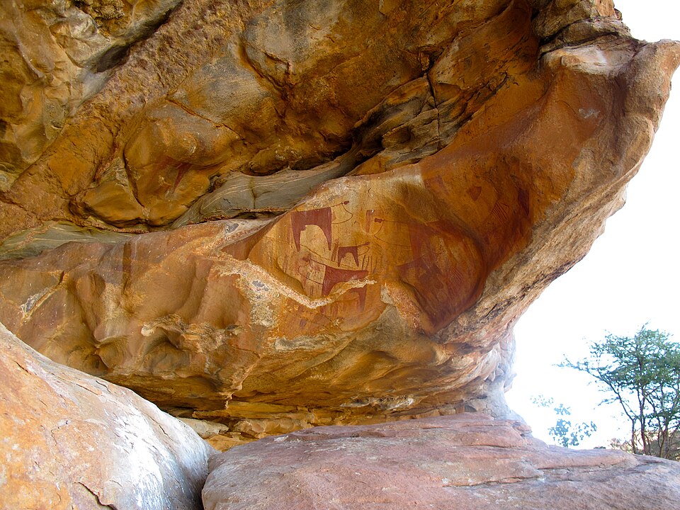
Traveling inland toward Hargeisa, we reach Laas Geel’s rock shelters. Paintings of cattle and people reveal the importance of herding thousands of years ago. Keeping visitors from touching the paintings helps protect them. Archaeological places, coasts and wildlife offer possibilities for tourism, but insecurity and limited infrastructure constrain it. Conservation begins with safeguarding places and the communities around them.
The painted cattle provide evidence of how earlier people valued animals. They do not describe every detail of those people’s lives, so archaeologists study the art together with its setting. Preserving that setting allows future researchers to ask new questions about the past.
Locate this stop on the map ↗