Our journey through South Africa begins at Cape Town, crosses to Robben Island, then flies northeast to Johannesburg before continuing to Pretoria and Durban. Climates range from the Cape’s winter rains to summer rainfall farther east.
Your route
Five places, one journey
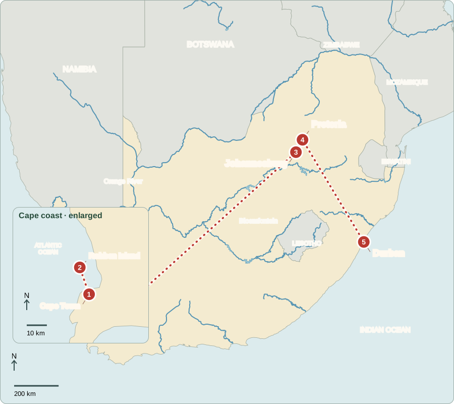
Cape coast is enlarged. Area includes the Prince Edward Islands, south of the main map.
Cape Town
A city shaped by separation
Below Table Mountain, Cape Town’s port recalls Dutch and later British colonial rule. From 1948 to 1994, apartheid made racial separation national policy. White-minority governments held national power. Laws classified people by race, restricted voting and separated schools and public facilities. Forced removals pushed many Black, Coloured and Indian families away from desirable neighborhoods. Township locations still influence commuting distances and access to jobs.
Coloured is a South African community identity with a particular history; apartheid also used it as a legal racial category. People within any category had diverse lives. Those official labels were tools of control, not natural divisions between people.
Locate this stop on the map ↗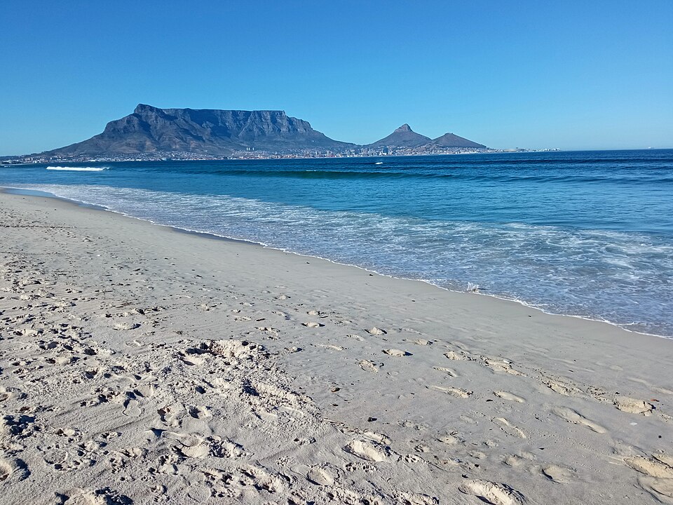
Robben Island
Prison walls and resistance
A boat crossing reaches Robben Island, where Nelson Mandela and other political prisoners were held. Mandela was a leader of the African National Congress, or ANC. Resistance included strikes, marches and civil disobedience; it also included armed struggle. Authorities arrested opponents and used violence. International pressure, including sporting exclusions and boycotts, helped isolate apartheid. These struggles and negotiations led to democratic change.
A prison museum can preserve evidence of injustice without making prisoners’ experiences identical. The island’s buildings help connect a broad political system with the lives it restricted. The struggle involved many people and organizations, not only one famous leader.
Locate this stop on the map ↗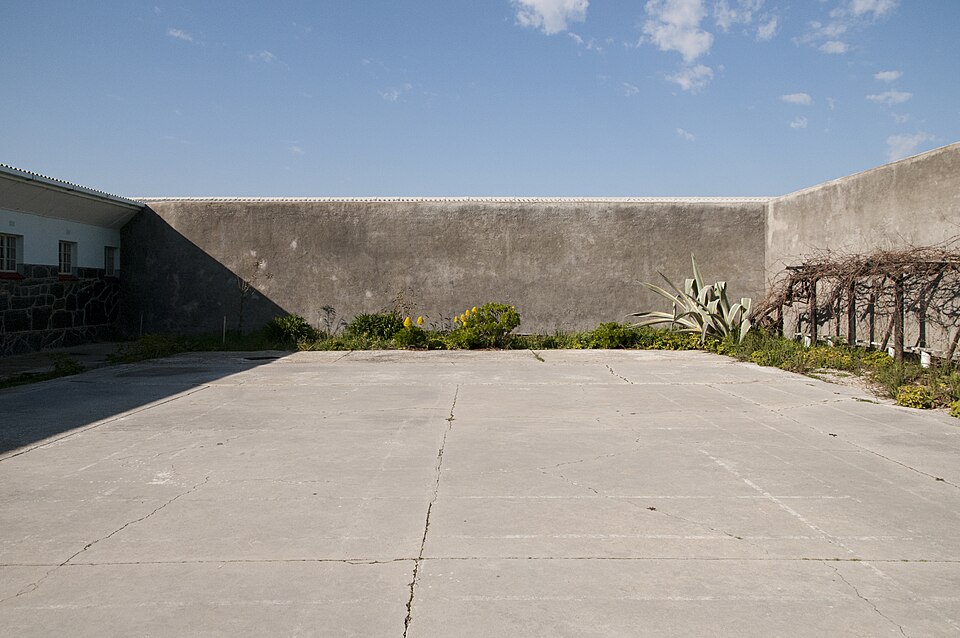
Johannesburg
Remembering Soweto
After a long flight inland, we visit Soweto in Johannesburg. The Hector Pieterson memorial recalls children killed during the 1976 protests against apartheid education. In 1994, South Africa held its first national election open to adults of all races. Mandela became president. Legal apartheid ended, but unequal wealth, housing and schools did not disappear. Johannesburg grew through gold mining and is now a major center of business and services.
Gold attracted workers and investment, helping the city expand inland rather than beside a seaport. The resulting metropolitan area includes many communities. Mining history, migration and unequal access to land all help explain patterns still visible around Johannesburg.
Locate this stop on the map ↗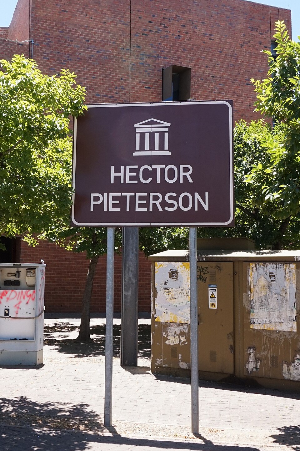
Pretoria
How public power is chosen
A shorter journey north reaches Pretoria’s Union Buildings. Voters elect representatives; the National Assembly elects the president, who leads government. Parliament makes laws, while courts protect constitutional rights. Citizens can vote, organize and challenge official decisions. Cape Town houses Parliament. Bloemfontein is traditionally called the judicial capital, although the Constitutional Court sits in Johannesburg. Having several centers reflects the country’s complex history.
South Africa recognizes twelve official languages, including South African Sign Language. Constitutional rights matter beyond elections: courts and public debate can help citizens challenge unfair treatment. Legal protections still require practical access and institutions willing to enforce them.
Locate this stop on the map ↗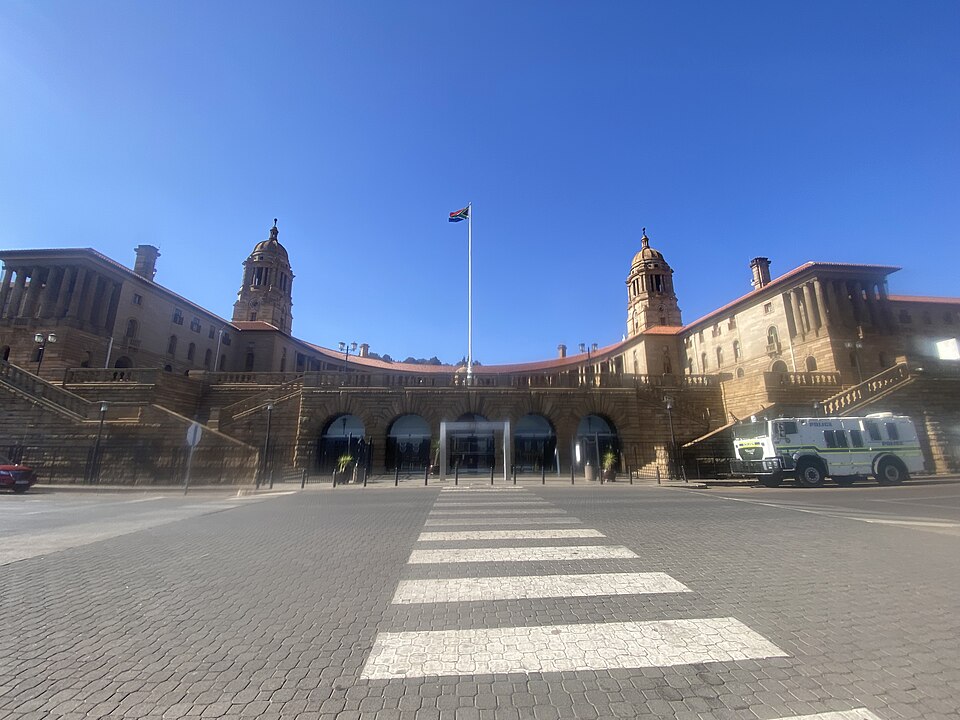
Durban
A warmer coast and a busy harbor
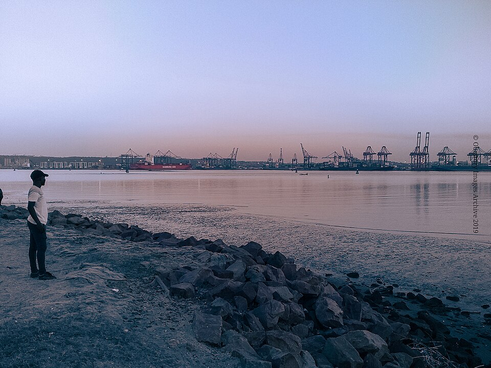
We travel southeast to Durban’s Indian Ocean port. Ships carry vehicles, minerals and other goods. Nearby warm, wet areas grow sugarcane; maize dominates many inland farms. Indian South African communities helped shape Durban’s food traditions, including curry-filled bread called bunny chow. Port jobs and tourism offer opportunities, while unemployment and flood damage show why economic growth and dependable infrastructure matter together.
Sugarcane needs warmth and water, while inland conditions differ. This helps explain why crops change along our route. Shipping connects those farming areas and factories with international buyers, but roads, railways and reliable port operations are also needed.
Locate this stop on the map ↗