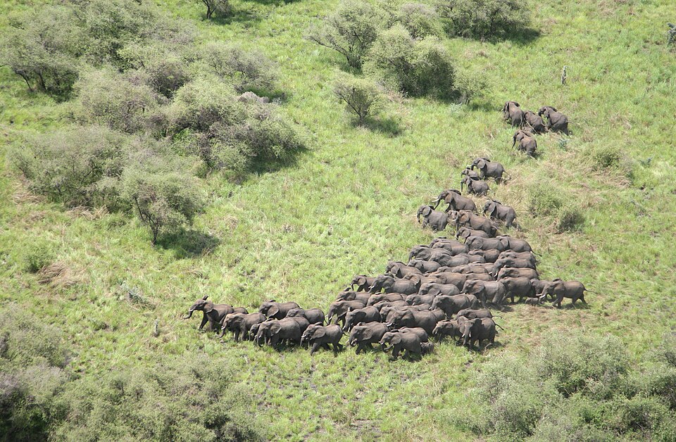
Our journey through South Sudan begins at Juba, follows the White Nile into wetlands, then turns west and east across savanna. Conflict and seasonal flooding restrict travel; these are connected landscapes rather than an ordinary holiday route.
Your route
Five places, one journey
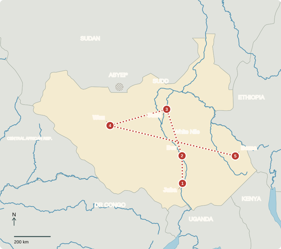
*Abyei’s final status is unresolved. Boundaries are approximate.
Juba
A capital in a young country
Juba grew beside the Nile. British-Egyptian rule began in 1899, linking the south to an administration centered in Khartoum for strategic control of the Nile. Sudan became independent in 1956. Southern exclusion from power, disputes over resources and autonomy, and imposed religious laws helped fuel wars. A peace agreement and referendum led to South Sudan’s independence in 2011.
Locate this stop on the map ↗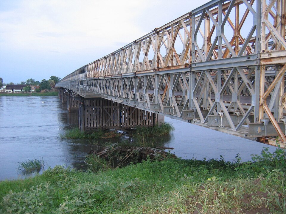
Bor
Homes shaped by local materials
Northward, many communities combine farming, fishing and cattle herding. Some rural homes are round tukuls, built with earthen walls and conical thatched roofs; towns also have rectangular brick or concrete buildings. Building traditions vary among communities. Dinka, Nuer and many other peoples have distinct languages. Christianity and Indigenous religions are widespread, alongside a Muslim minority.
A conical roof sheds seasonal rain; thatch and earth can be obtained locally. These homes need maintenance, and flooding can damage them. A single photograph shows one settlement, not every family’s way of life.
Locate this stop on the map ↗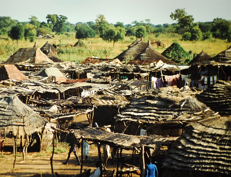
Sudd
A river spreading into a wetland
Farther along the White Nile, channels spread through the Sudd’s papyrus marshes and seasonal floodplains. Fishing and livestock grazing depend on changing water levels. Too much flooding can submerge homes and fields; drought can reduce water and pasture. Unlike Sudan’s desert north, much of South Sudan is tropical savanna, with wet and dry seasons—not one continuous swamp.
The same floodplain may provide pasture in one season and be covered by water in another. Farmers, fishers and herders therefore use different parts of the landscape as conditions change.
Locate this stop on the map ↗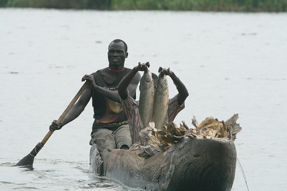
Wau
Markets and interrupted lives
Westward, Wau connects farming districts growing sorghum, maize and cassava. Wars killed and injured people, separated families and disrupted farms, herding routes, schools and clinics. Displaced people sought safety in towns and neighboring countries. Severe food shortages reflect conflict, flooding and economic hardship together. Oil earns export income, but pipelines through Sudan make the economy vulnerable to disruption there.
Reopening a road can help farmers sell food and allow medicines to reach clinics. Peace, transport and public health are connected parts of recovery.
Locate this stop on the map ↗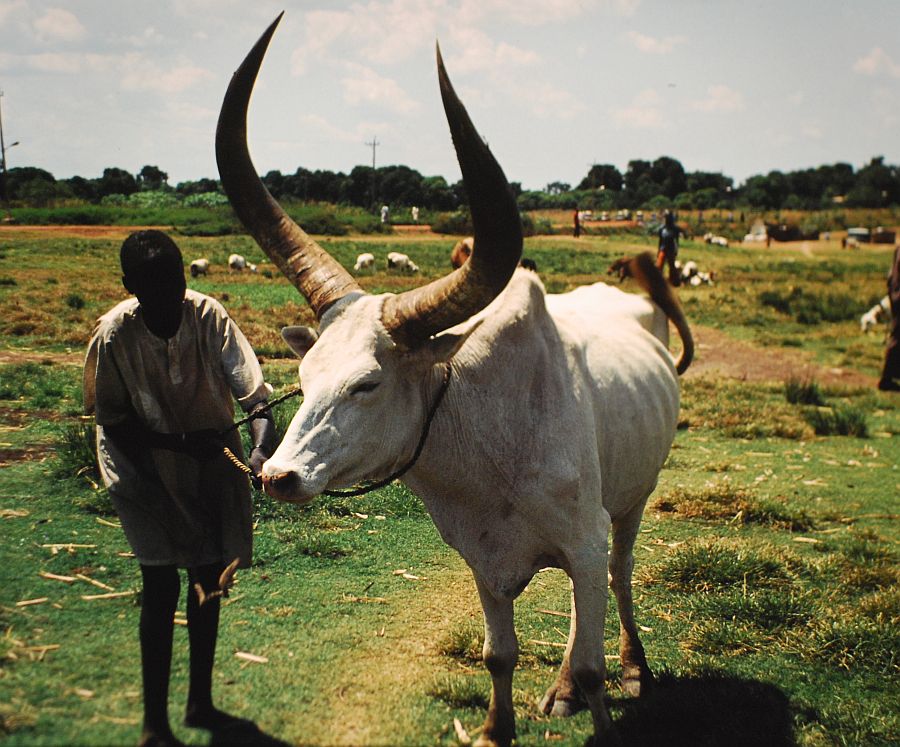
Boma
Open grasslands and a shared future
Across the country to the east, Boma’s grasslands support migrating antelopes and pastoral livelihoods. Protecting migration corridors requires attention to communities as well as wildlife. A transitional power-sharing government operates under a peace agreement; national elections have repeatedly been postponed. Violence since 2013 is distinct from the earlier north–south wars. Language or religious differences do not make war inevitable.
Locate this stop on the map ↗