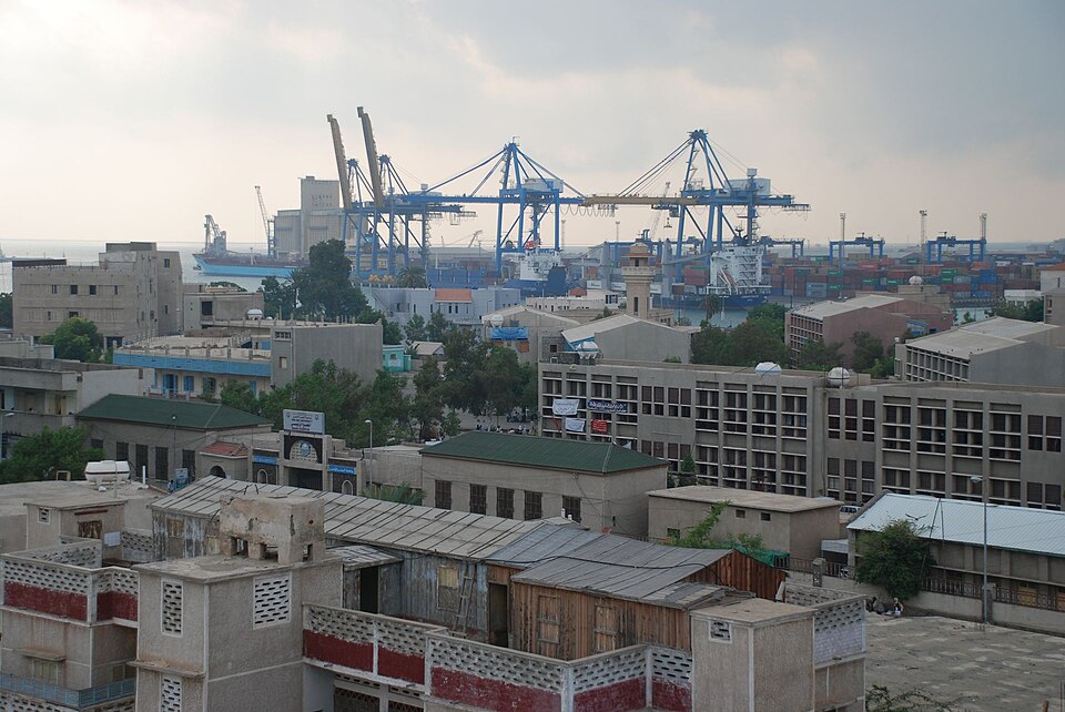
Our journey through Sudan connects Nile cities, northern desert settlements, farming plains and the Red Sea. War has damaged these connections and displaced millions; the route describes geography, not present travel conditions.
Your route
Five places, one journey
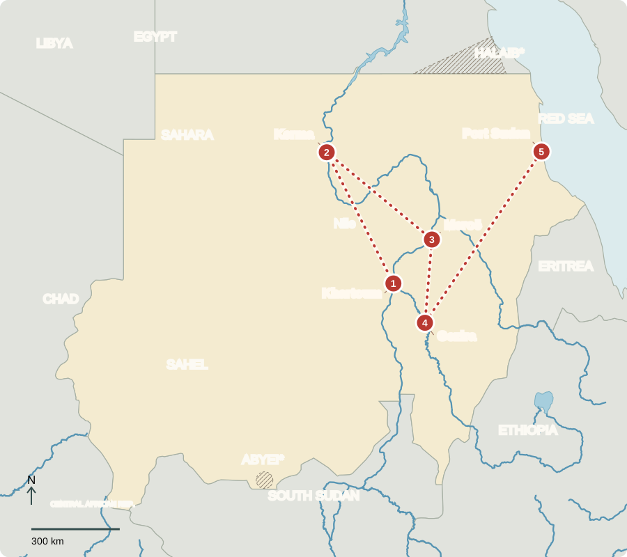
*Abyei’s final status is unresolved. Halaib is administered by Egypt and claimed by Sudan. Boundaries are approximate.
Khartoum
Two rivers and a divided country
The Blue and White Nile meet at Khartoum, the capital. British-Egyptian rule, established in 1899 for strategic control of the Nile, ended with independence in 1956. Southern exclusion from power, unequal resources and imposed religious laws contributed to north–south wars. South Sudan became independent in 2011. Sudan’s separate war since 2023 pits rival armed forces against one another; military authorities dominate public life.
Locate this stop on the map ↗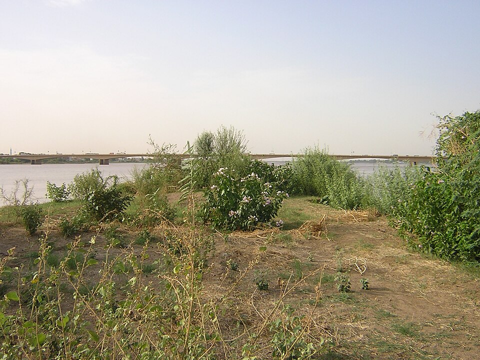
Kerma
Homes beside a desert river
North along the Nile, Kerma lies in ancient Nubia. Away from the river, desert makes water scarce. Some Nubian homes have thick earthen or brick walls, courtyards and flat roofs suited to a dry climate. Houses vary; this is not a model for every Sudanese home. Arabic is widely used alongside Nubian, Beja, Fur and other languages. Most Sudanese are Muslim, with Christian and other minorities.
A courtyard provides outdoor working space and privacy, while thick walls slow the transfer of heat. Local building materials and dry conditions help explain this form without making it universal.
Locate this stop on the map ↗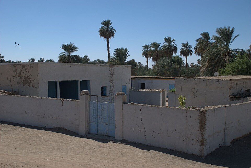
Meroë
Pyramids from an African kingdom
Returning southeast reaches the pyramids of Meroë, once a center of the kingdom of Kush. Trade connected this Nile society with surrounding regions long before European colonization. Sudan is more than rocky desert: farther south, rainfall supports Sahel grasslands and savanna. Gold is an important resource, but mining needs safeguards for workers and water.
Locate this stop on the map ↗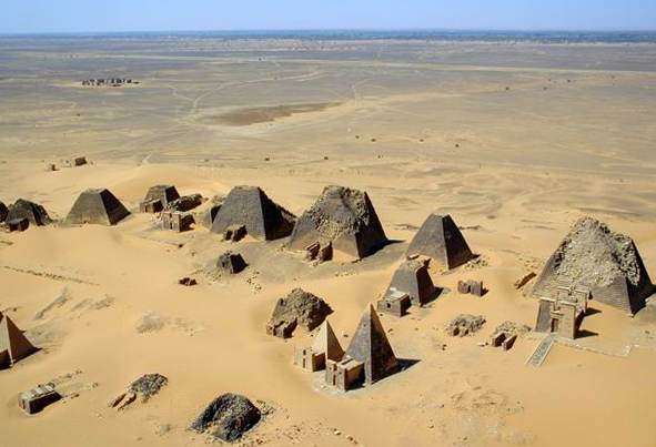
Gezira
Growing food between rivers
Between the Blue and White Nile, irrigation canals support farming in Gezira. Sorghum, wheat and cotton link water to food and income; sesame and livestock matter elsewhere. Drought, floods and war can damage crops and markets. Conflict has killed and injured people, interrupted grazing routes and schooling, and forced families from homes. Hunger also grows when food exists but people cannot safely reach or afford it.
An irrigation canal brings river water to fields beyond the immediate bank. Maintaining canals and allocating water fairly matter to both upstream and downstream users.
Locate this stop on the map ↗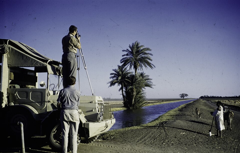
Port Sudan
A gateway on the Red Sea
A long northeastern connection reaches Port Sudan, an import and export gateway. Displaced people and relocated institutions increased demands on services during the war. Restoring hospitals, clean water, schools and civilian participation are major challenges. Sudan shares Nile waters and other resources with neighbors. Cooperation matters; cultural or religious difference by itself does not explain conflict.
A seaport links inland farms and businesses to ships carrying machinery, grain and other supplies. When fighting disrupts roads or finance, the effects can spread far beyond the battle area.
Locate this stop on the map ↗