Our journey through Tanzania begins on Zanzibar, crosses to the mainland and continues inland toward the northern wildlife landscapes. Tropical coasts are hot and humid; higher inland areas are cooler and often drier.
Your route
Five places, one journey
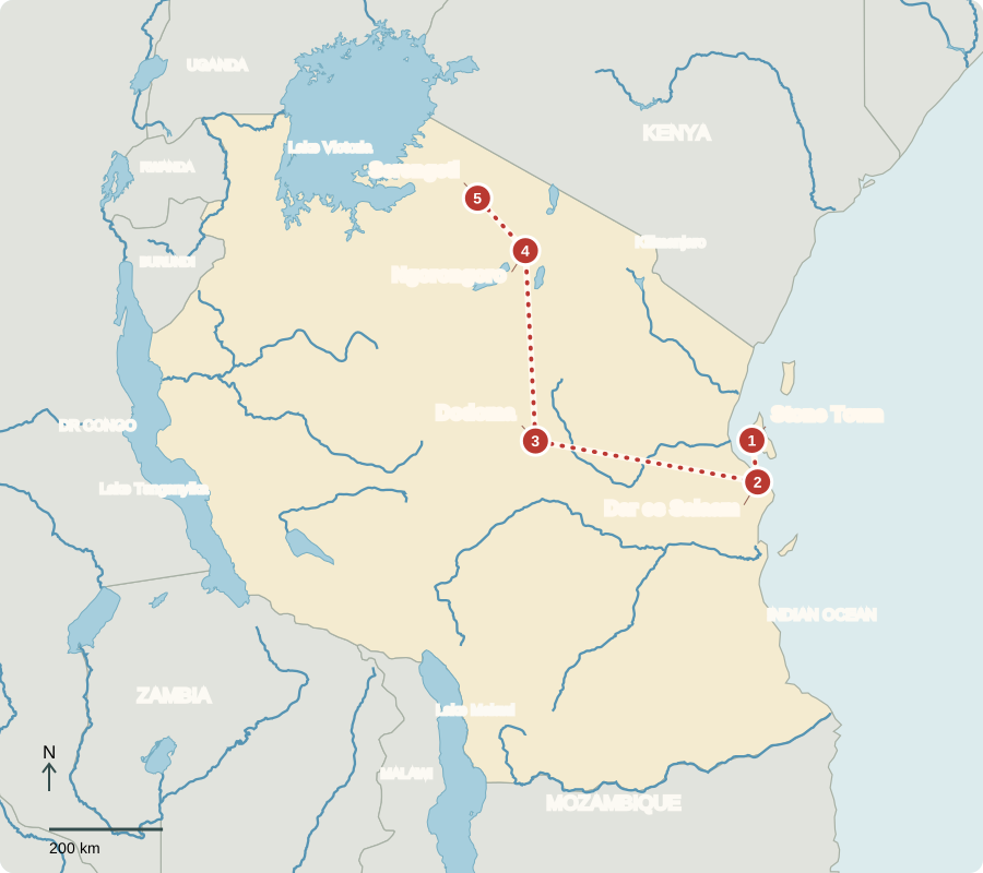
Route includes a ferry crossing; lines are not roads.
Stone Town
An island crossroads
Stone Town’s narrow streets and carved doors reflect centuries of Indian Ocean connections. African, Arab, Indian and European influences shaped this Swahili port. Trade brought spices and wealth, but also the suffering of enslaved people. Zanzibar’s cloves, fishing and tourism remain important. Its islands united with Tanganyika in 1964 to form Tanzania.
The buildings help make this history visible. Streets, doorways and the old waterfront preserve traces of a port connected to distant shores. Protecting them keeps evidence of everyday work and cultural exchange, alongside reminders of the harsh inequalities that trade could involve.
Locate this stop on the map ↗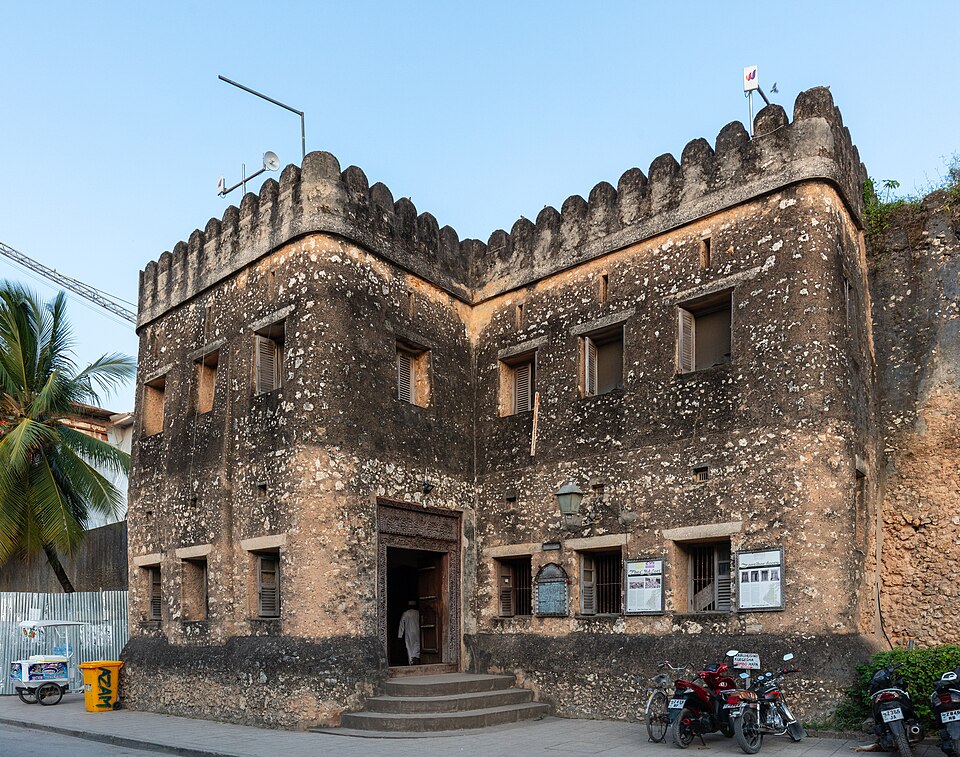
Dar es Salaam
The mainland doorway
We cross by ferry to Dar es Salaam, the largest city. Its port handles goods for Tanzania and several landlocked neighbors. Factories process food and make other products; shops and transport provide many jobs. Fish, rice and ugali, a stiff maize porridge, are familiar foods. Fast urban growth creates pressure for housing, water and transport.
The port’s reach extends far beyond the city. A container arriving by sea may continue inland by road or railway. This creates work handling and moving cargo, while also making dependable transport important to farmers and businesses far from the coast.
Locate this stop on the map ↗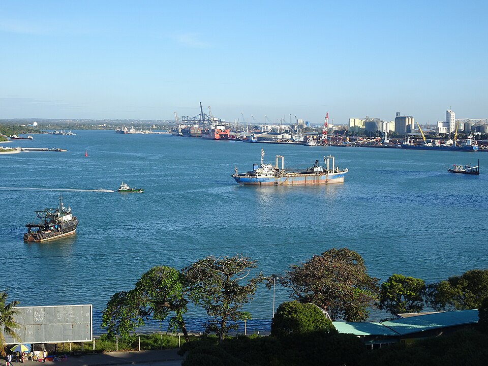
Dodoma
Governing from the interior
A long inland rail or road journey reaches Dodoma, the capital. Voters elect the president, who directs the national government, and representatives to parliament. Zanzibar retains its own government for certain matters. Surrounding drier country supports crops and livestock, but rainfall can be unreliable. Elsewhere, wetter highlands grow coffee and tea; agriculture, mining and tourism all earn income.
The union joins a large mainland with Indian Ocean islands, but their public institutions are not identical. This helps explain why Zanzibar has its own government within Tanzania. Geography also varies: crops that suit moist highlands may struggle in drier inland districts.
Locate this stop on the map ↗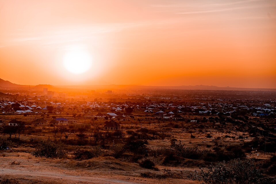
Ngorongoro
A crater and deep human history
Turning north by road, we reach Ngorongoro’s broad volcanic crater, home to lions, buffaloes and other wildlife. Nearby Olduvai Gorge preserves evidence of early human ancestors. Maasai pastoralists have long used the wider landscape for livestock. Conservation policies affect their land and livelihoods, so protecting wildlife also raises questions about local rights and public choices.
The crater and the gorge tell different stories. One reveals a volcanic landscape supporting wildlife today; the other preserves clues to very early human lives. Together they show how a single region can be important for both nature and human history.
Locate this stop on the map ↗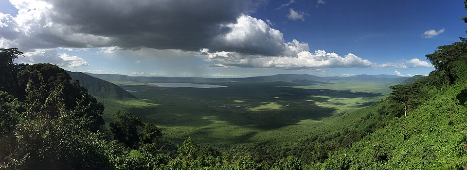
Serengeti
Following the rains
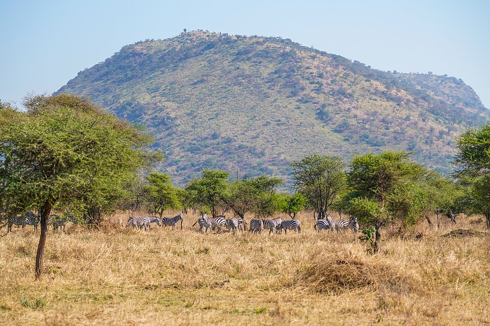
Continuing northwest, we enter the Serengeti plains. Wildebeest and zebras migrate as seasonal rain brings fresh grazing, crossing the border into Kenya’s Maasai Mara. Their movement links grass, water and predators across a huge ecosystem. Guides, accommodation and park fees connect wildlife to employment and conservation. Keeping migration routes open and managing tourism carefully help protect this living landscape.
Rainfall changes the landscape over time. Grazing animals follow food and water, and predators depend on those animals. Protecting only one small patch would miss these connections. Conservation must consider the wider route, including places beyond the boundaries of a single park.
Locate this stop on the map ↗