Our journey through The Gambia begins where its river meets the Atlantic. We visit the coast, then follow the river inland by road and across ferry crossings.
Your route
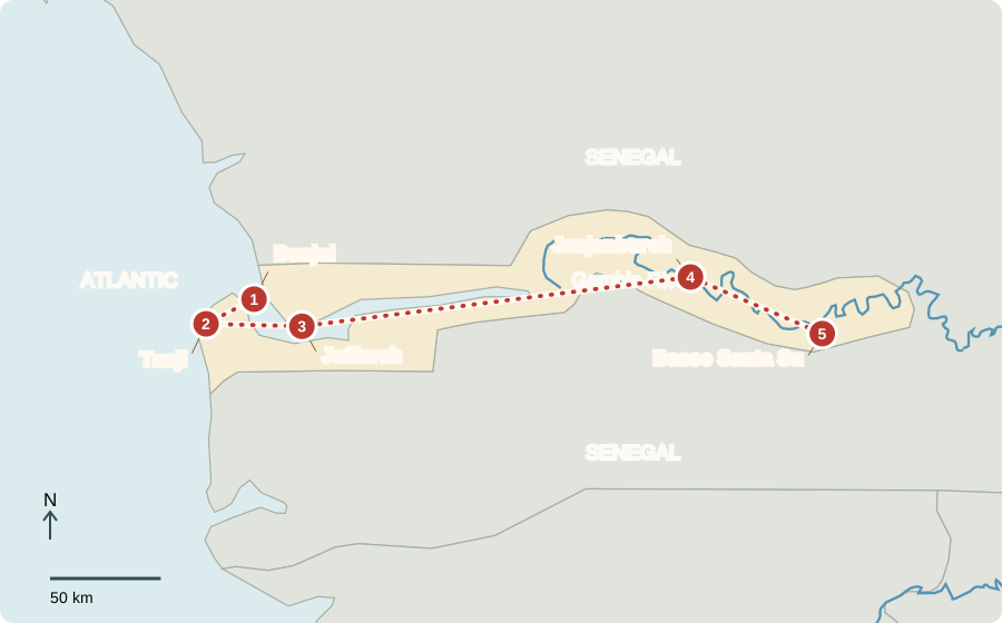
Five places, one journey
Banjul
A capital at the river mouth
Banjul occupies an island near the Gambia River’s mouth. Its port connects the country to overseas trade; nearby Serekunda is the larger urban center. Senegal surrounds The Gambia on land, but the Atlantic opens to the west. British colonial rule ended in 1965. Today voters elect a president and legislature. English is official, alongside widely spoken African languages.
On a regional map, the country looks like a narrow ribbon around the river. Its shape reflects colonial boundaries rather than a boundary between entirely different peoples.
Locate this stop on the map ↗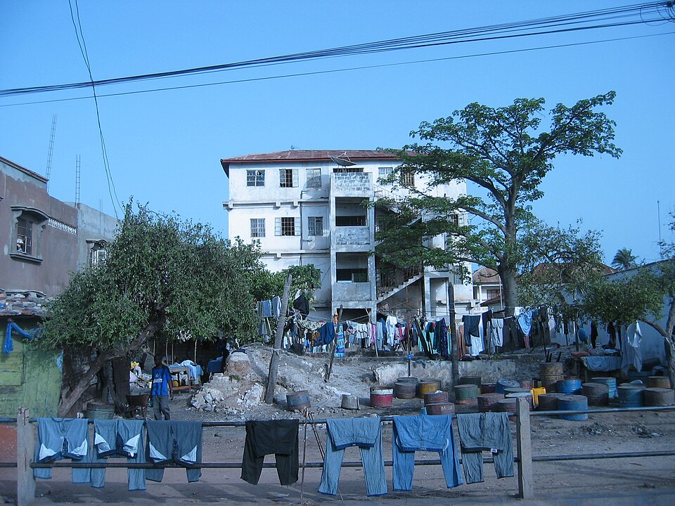
Tanji
Fish, smoke and trade
A coastal trip brings us to fishing boats and fish-processing work. Fish are a natural resource that supports food, jobs and exports. Smoking or drying helps preserve catches for markets beyond the shore. Tourism also brings income, especially near Atlantic beaches. Both industries depend on healthy coastal environments. Seasonal work and limited earnings mean many households remain vulnerable to poverty.
Preservation changes where food can be sold. A fresh catch spoils quickly, while dried or smoked fish can travel farther without the same need for refrigeration.
Locate this stop on the map ↗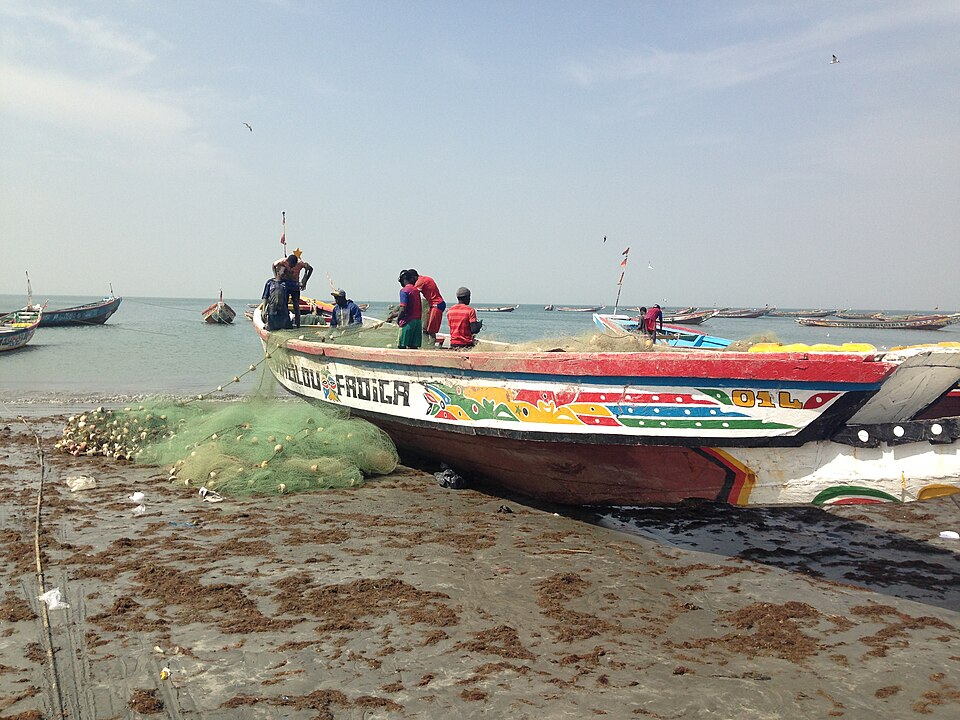
Juffureh
Remembering forced journeys
We cross toward the north bank and Juffureh, near Kunta Kinteh Island. Historic sites here help explain Atlantic slavery and resistance. Enslaved Africans carried knowledge, music and stories to the Americas and Caribbean despite violent displacement. In Manding traditions, griots preserve history and lessons through music and spoken performance. A story can change with its teller while carrying memories across generations.
A folktale may entertain as well as teach. Comparing versions can reveal how tellers adapt a familiar character to a new audience or place.
Locate this stop on the map ↗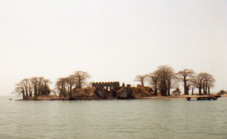
Janjanbureh
Following fresh water upstream
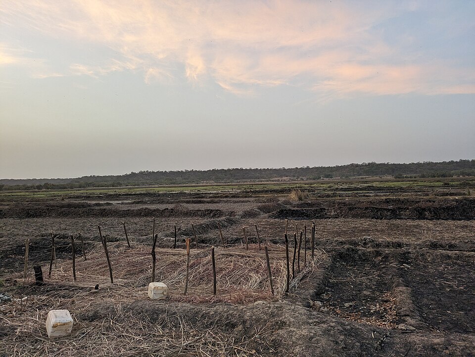
Farther inland, the river links settlements, fields and wetlands. Salt water reaches into the lower river; upstream conditions differ. Rice farmers manage water in lowlands, while groundnuts and millet grow on higher land. The climate has a wet season and a long dry season. Rainfall timing and river conditions help determine where crops succeed, rather than a simple rule that all coastal countries are equally wet.
Flat land can make water management difficult: too little water hurts rice, but salt intrusion or uncontrolled flooding can also damage a field.
Locate this stop on the map ↗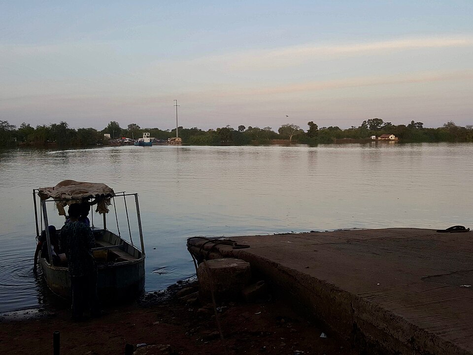
Basse Santa Su
A market in the savanna
Our route ends in an inland trading town surrounded by savanna. Farmers bring crops to market, and livestock form part of rural livelihoods. Rice with sauces is widely eaten; groundnuts can become rich stews. Most Gambians are Muslim, while Christian and other communities also live here. Improving irrigation and protecting trees can support farming, but drought, floods and changing food prices remain challenges.
The river is useful, but it does not remove the need for roads, schools and health services. Physical resources and public investment work together in daily life.
Locate this stop on the map ↗