Our journey through Togo begins at the Gulf of Guinea and follows a narrow country northward. Coastal lagoons, wooded hills and savanna create different kinds of work.
Your route
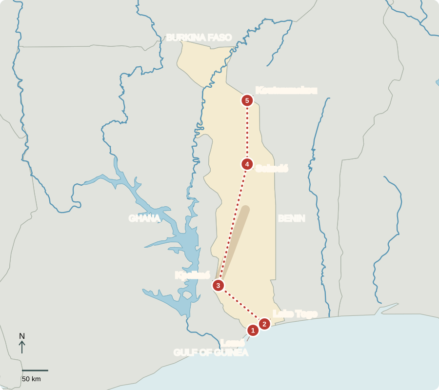
Five places, one journey
Lomé
A port serving the interior
Ships bring cargo to Lomé, where roads carry goods onward to landlocked neighbors. The port, markets and transport businesses make services important. Togo became independent from French administration in 1960. Under its parliamentary system, executive power rests with a President of the Council connected to the parliamentary majority; the national president has a largely ceremonial role. French is official, alongside many everyday African languages.
Togo’s short coast has an influence far beyond its size. A usable port connects a long inland road corridor with much larger ocean trading networks.
Locate this stop on the map ↗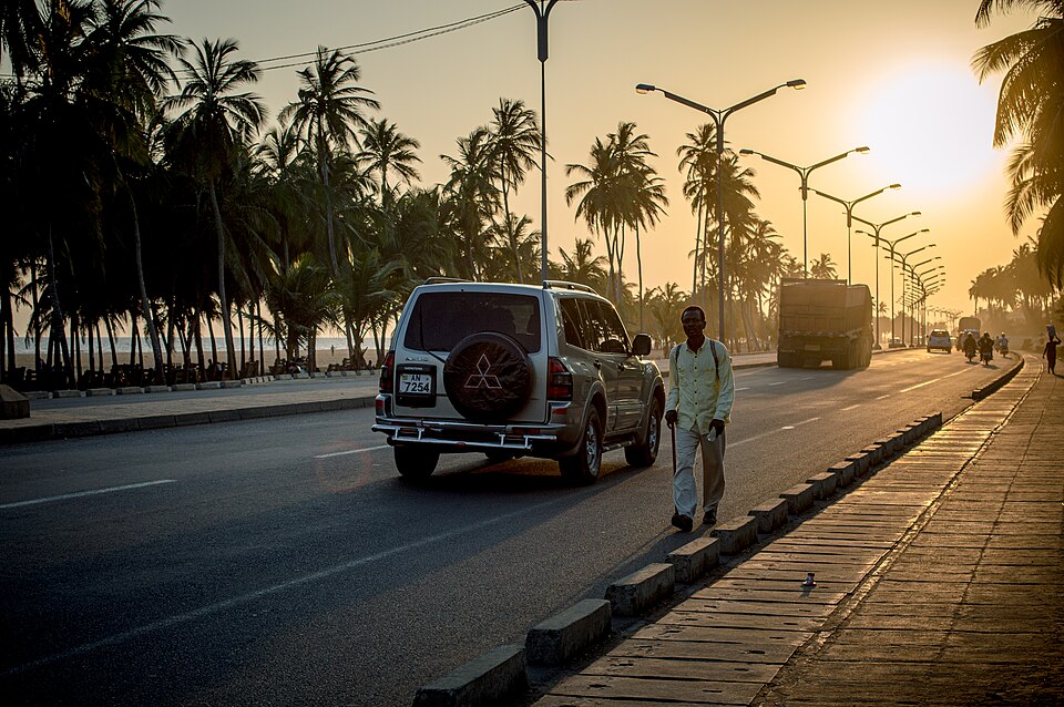
Lake Togo
Fishing beside phosphate country
A short eastern trip reaches a shallow coastal lagoon. Boats and nets show how fish support local meals and livelihoods. Nearby phosphate deposits supply an export used in fertilizer production. Mining and settlement can place pressure on land and water. Along the coast, cassava and maize are important foods. Christians, Muslims and people following Indigenous traditions contribute to the country’s religious life.
Phosphate illustrates a link between mining and farming: phosphorus is a plant nutrient, and processed phosphate rock is used in some fertilizers.
Locate this stop on the map ↗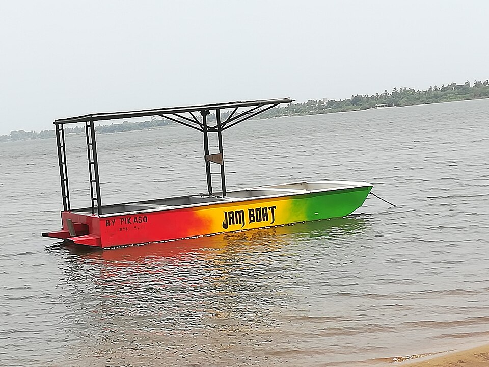
Kpalimé
Crops in the green hills
Turning northwest, we climb toward a wetter, wooded region. Cocoa and coffee benefit from these growing conditions, while artisans work with wood and other materials. Rainfall helps crops but can wash soil from cleared slopes. Keeping tree cover and protecting streams can support both farms and nearby communities. Selling processed goods as well as raw crops can create additional work.
Higher land and local rainfall create differences within the country’s tropical setting. Those variations help explain why coffee and cocoa are associated with particular growing regions.
Locate this stop on the map ↗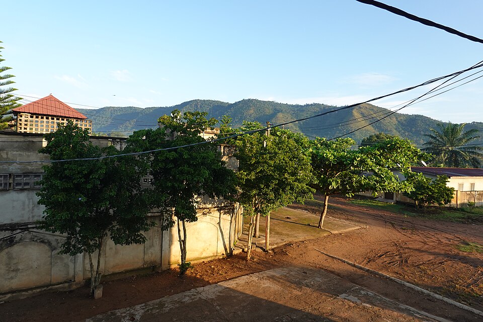
Sokodé
A trading town on the northward road
We continue through the interior toward savanna. Markets connect grain farmers, cotton growers and livestock keepers with other regions. Rain arrives seasonally, and the dry season becomes more pronounced northward. Roads matter because crops must reach buyers before losses mount. Togo’s phosphate, agriculture and transport businesses generate income, but many households still face poverty and limited access to services.
People do not simply accept the limits of a season. Storage, transport and water management can help bridge the gap between harvest time and later needs.
Locate this stop on the map ↗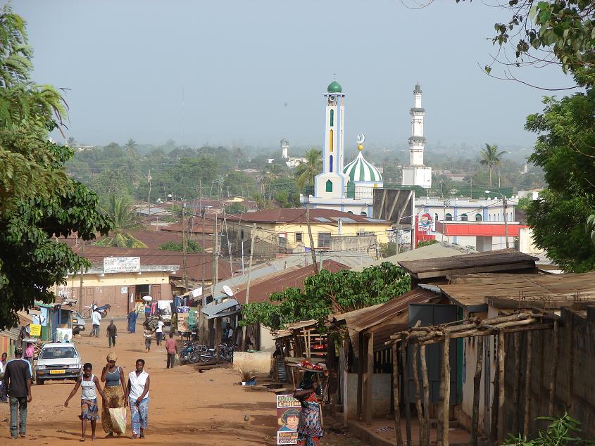
Koutammakou
Homes shaped from the land
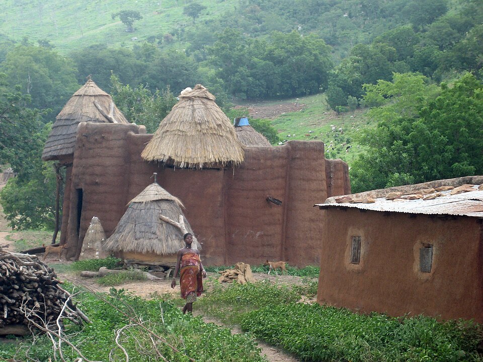
Our route ends among Batammariba settlements. Earthen tower-houses combine living, storage and cultural spaces in a farming landscape extending into Benin. Building with local earth ties architecture to knowledge passed through generations. Millet, sorghum and other crops suit seasonal conditions; yams are also important in Togo. Protecting buildings and surrounding land means supporting the people who continue to use and maintain them.
The settlement is a living cultural landscape. Fields, houses and practices belong together, rather than the houses being isolated monuments without connections to everyday work.
Locate this stop on the map ↗