
Our journey through Tunisia begins in the northern hills. We pass a lake, enter the capital, then head south through olive country toward an oasis. Watch how the landscape changes as rain becomes scarcer.
Your route
Northern hills to southern palms
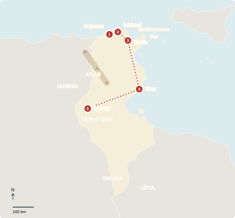
Sejnane
Clay becomes a livelihood
In Sejnane, potters shape clay by hand into bowls, jars, and figures. Women pass these skills between generations, decorating pieces with geometric patterns. Selling pottery helps support families. The greener hills around us hint at Tunisia’s Mediterranean climate: cooler, wetter winters and hot, dry summers. Farming and craftwork connect people to the materials their surroundings provide.
These are useful household objects as well as artwork, with patterns that make the local tradition recognizable.
Locate this stop on the map ↗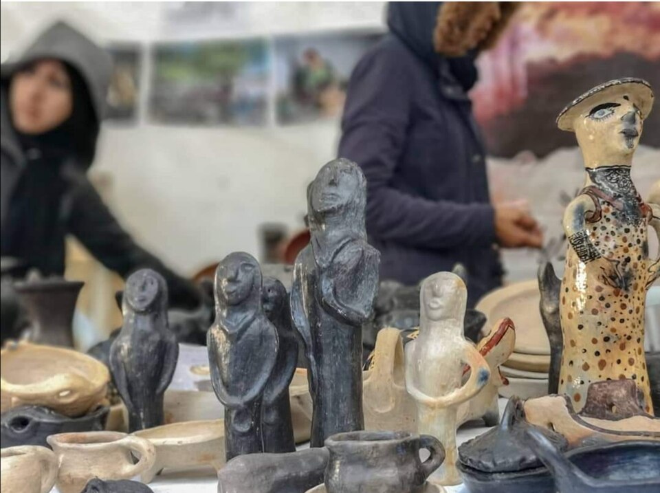
Ichkeul
A lake with changing water
A short journey east reaches Lake Ichkeul. Winter rain and rivers bring freshwater; in summer, saltier water can enter from the coast. Ducks and geese stop here during migration. Upstream dams can reduce freshwater reaching the lake, changing its plants and the food available to birds. Protecting this wetland means thinking about water far beyond its shores.
Locate this stop on the map ↗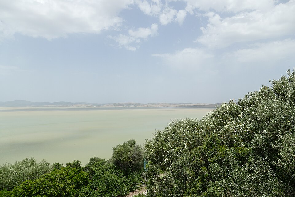
Tunis
Through the market lanes
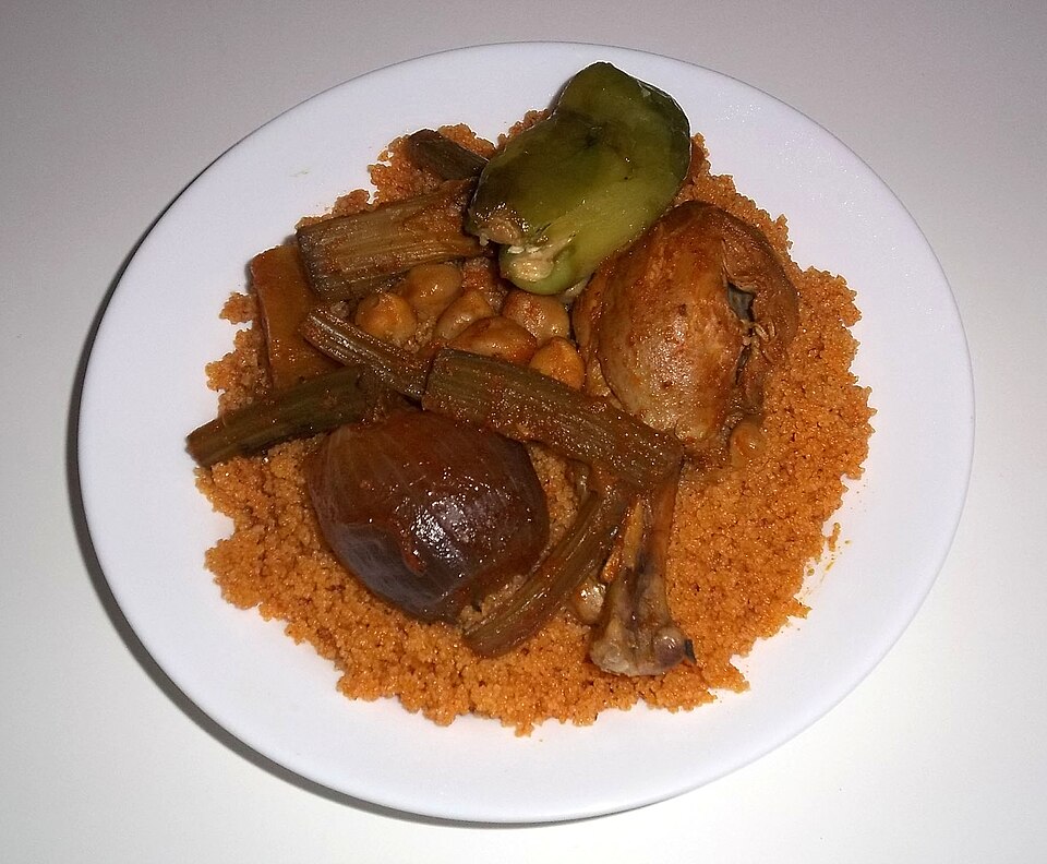
We turn toward Tunis, the capital. Inside its medina, market lanes lead past shops and mosques. Arabic surrounds us; French is also widely used. Most Tunisians are Muslim. Beyond the old center, trams carry people to work and school. Tunisia is a republic with elections, but the president has concentrated power and political freedoms have narrowed. For lunch, couscous and spicy harissa connect wheat, vegetables, and peppers. Population is concentrated in northern and coastal areas, near farmland, industries, and services.
Football is popular, and children’s lives combine school and family routines with the changing pace of city or village neighborhoods. The old market is one part of a much wider modern city.
Locate this stop on the map ↗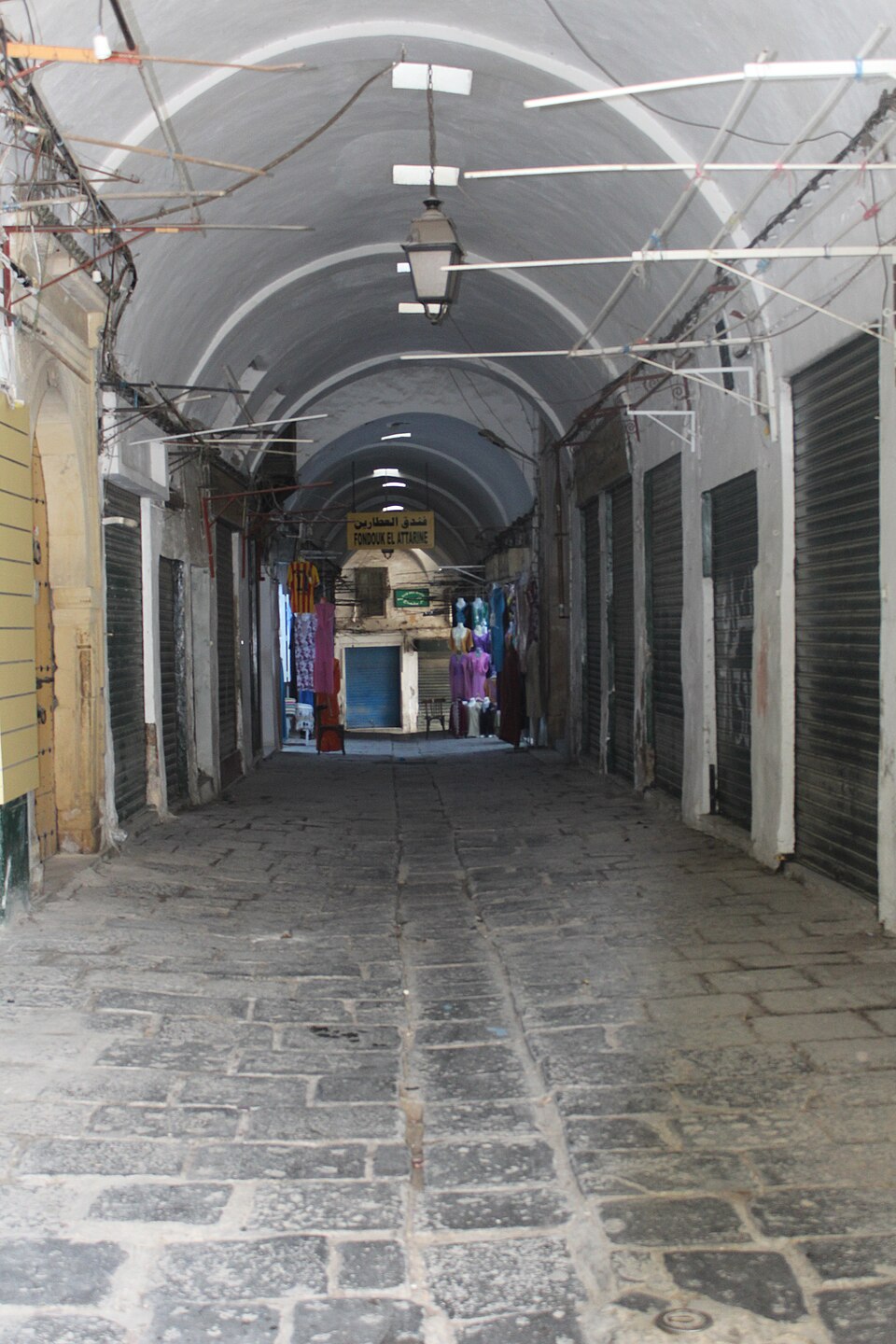
Sfax
Olives bound for other tables
South along the coast, olive groves spread around Sfax. Olive trees tolerate dry conditions better than many crops, though drought still hurts harvests. Presses turn olives into oil, an important export. The port links local businesses with markets overseas. Tunisia also makes clothing and electrical parts, while beach resorts and historic places bring visitors and jobs.
A bottle of olive oil carries a connection between climate, farm work, processing, and trade. Good harvests depend on rain, even where trees can survive dry summers.
Elsewhere, farms grow wheat, barley, citrus, grapes, and figs. Irrigation supplements scarce rain, and Tunisia imports wheat because local harvests do not meet demand. Phosphate mining and fertilizer production also contribute to industry.
Locate this stop on the map ↗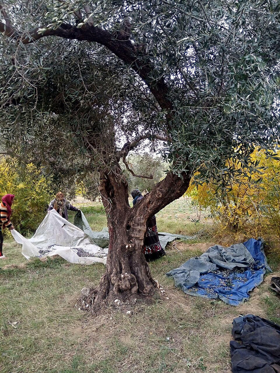
Tozeur
Shade in the desert
Turning inland, we reach Tozeur at the Sahara’s edge. Date palms rise above irrigated gardens. Their shade helps smaller crops survive below, but these green patches need groundwater. Dates leave the region for shops abroad. Beyond town lies Chott el Djerid, a vast salt flat. Growing demand for water and hotter, drier conditions make balancing farming, tourism, and household needs increasingly difficult.
Traditional brickwork gives many buildings distinctive patterns. The oasis is a working landscape, where crops, homes, and visitor businesses compete for limited space and water.
Locate this stop on the map ↗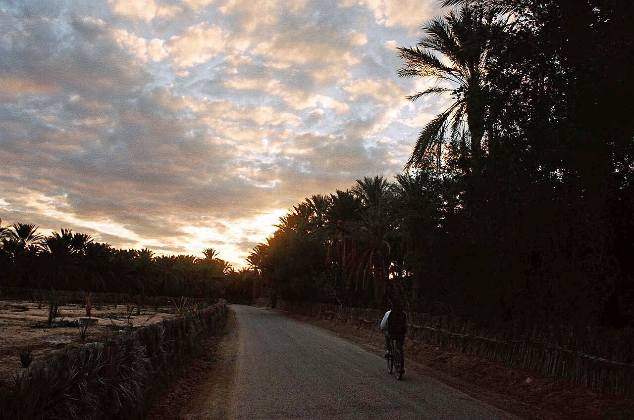
The route ends among date palms, but its thread is water: rain in the north, careful irrigation in the dry south.