Our journey through Uganda begins in Kampala, then turns toward the Nile and the western highlands. This landlocked country has warm plateaus, rainy forests and much drier northern areas.
Your route
Five places, one journey
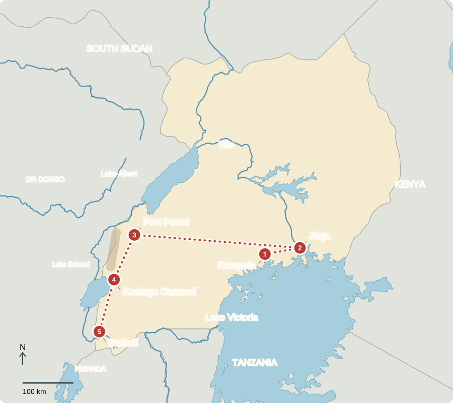
Route lines connect learning stops, not exact roads.
Kampala
A capital rebuilding
Kampala’s markets connect farms with city shops. Matoke, cooked green bananas, is a familiar food. Voters elect a president who directs government and representatives who make laws. By 1986, Uganda had endured Idi Amin’s dictatorship of 1971–1979 and later wars. Killings, displacement and damaged businesses left deep hardship. Recovery followed, but fighting continued in the north. Today, HIV prevention and treatment help families, although access to care remains unequal.
Clean water, clinics and dependable transport matter alongside national politics. A market trader needs goods to arrive, while a family needs affordable food and health care. Rebuilding after war involves restoring these everyday connections as well as repairing buildings.
Locate this stop on the map ↗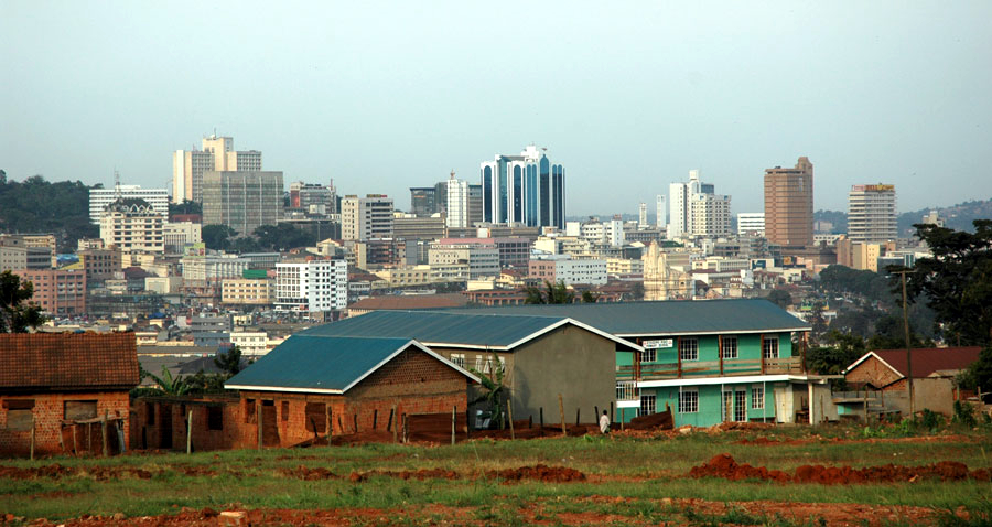
Jinja
Water that connects
We travel east by road to Jinja, where the Nile leaves Lake Victoria. Fishing, boat trips and nearby hydropower support jobs. Introduced Nile perch became valuable catches but also ate native fish, changing the lake’s ecosystem. Lake Victoria lies between the Rift’s branches; it is not itself a long, narrow Rift lake.
This is a shared lake: its shores also reach Kenya and Tanzania. A fishery depends on more than catching fish. Breeding habitats, water quality and decisions made around the lake all influence whether future catches can support families.
Locate this stop on the map ↗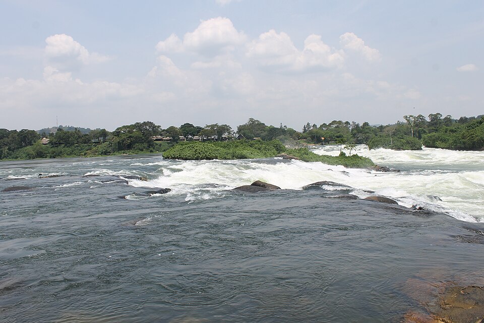
Fort Portal
Green slopes, valuable leaves
A long drive west brings us to tea fields near Fort Portal. Rain and cooler highland temperatures help tea bushes grow. Coffee is another important Ugandan export. Small farms also raise food crops; unreliable rains and poor roads can make earning a living difficult.
Tea leaves must be collected and processed before they become the dried tea sold in shops. Farms therefore depend on workers, factories and transport as well as fertile land. A green hillside represents a whole chain of connected jobs.
Locate this stop on the map ↗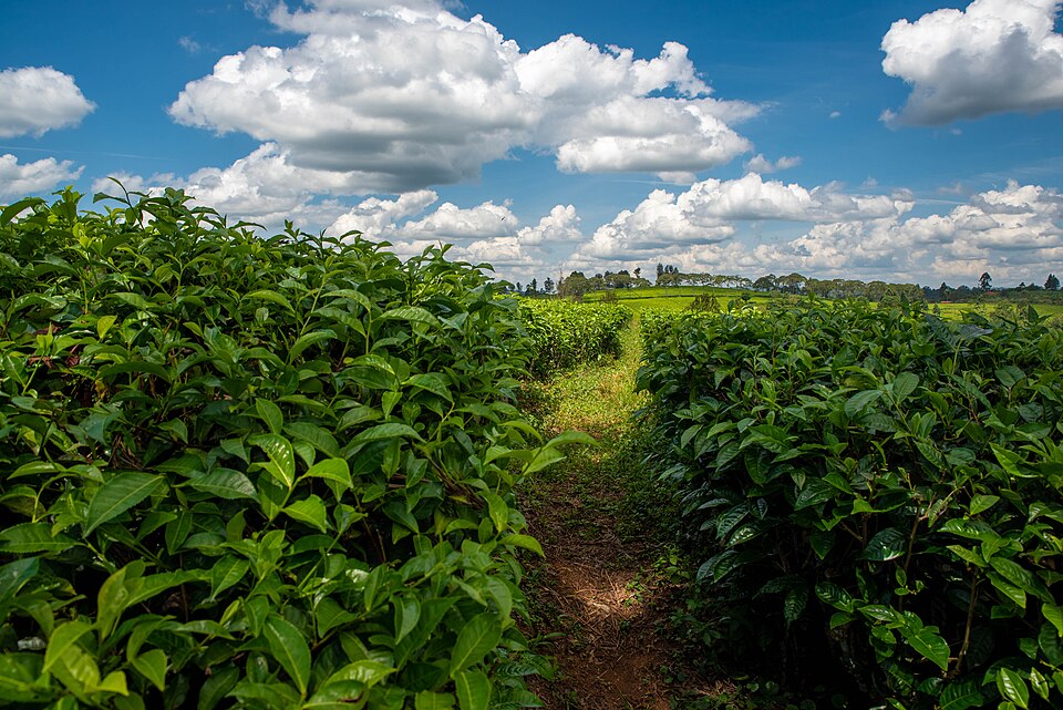
Kazinga Channel
Sharing a busy waterway
Continuing south, we reach the Kazinga Channel between Lakes George and Edward in the western Rift. Hippos spend much of the day in water; elephants visit the banks. Fishing communities and wildlife share this landscape. Boat tourism employs guides, and park revenue helps fund nearby community projects. Protecting habitat therefore supports both animals and livelihoods.
The channel offers a different landscape from the highland farms: open water and grassy shores bring animals into view. Hippos and elephants need space, yet nearby people also need food and income. Conservation must account for both kinds of needs.
Locate this stop on the map ↗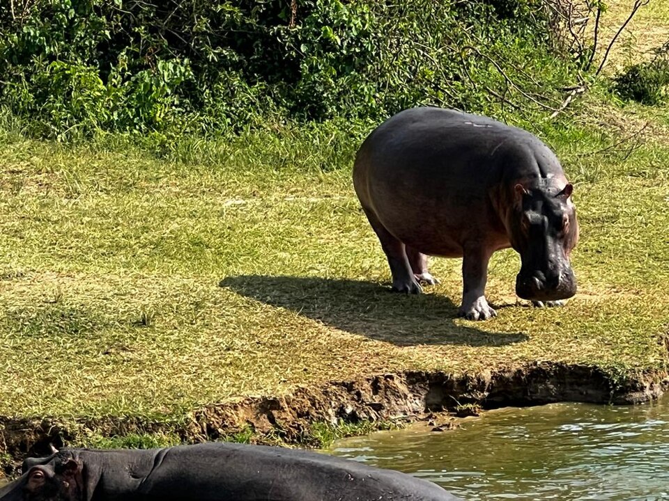
Bwindi
A forest worth protecting
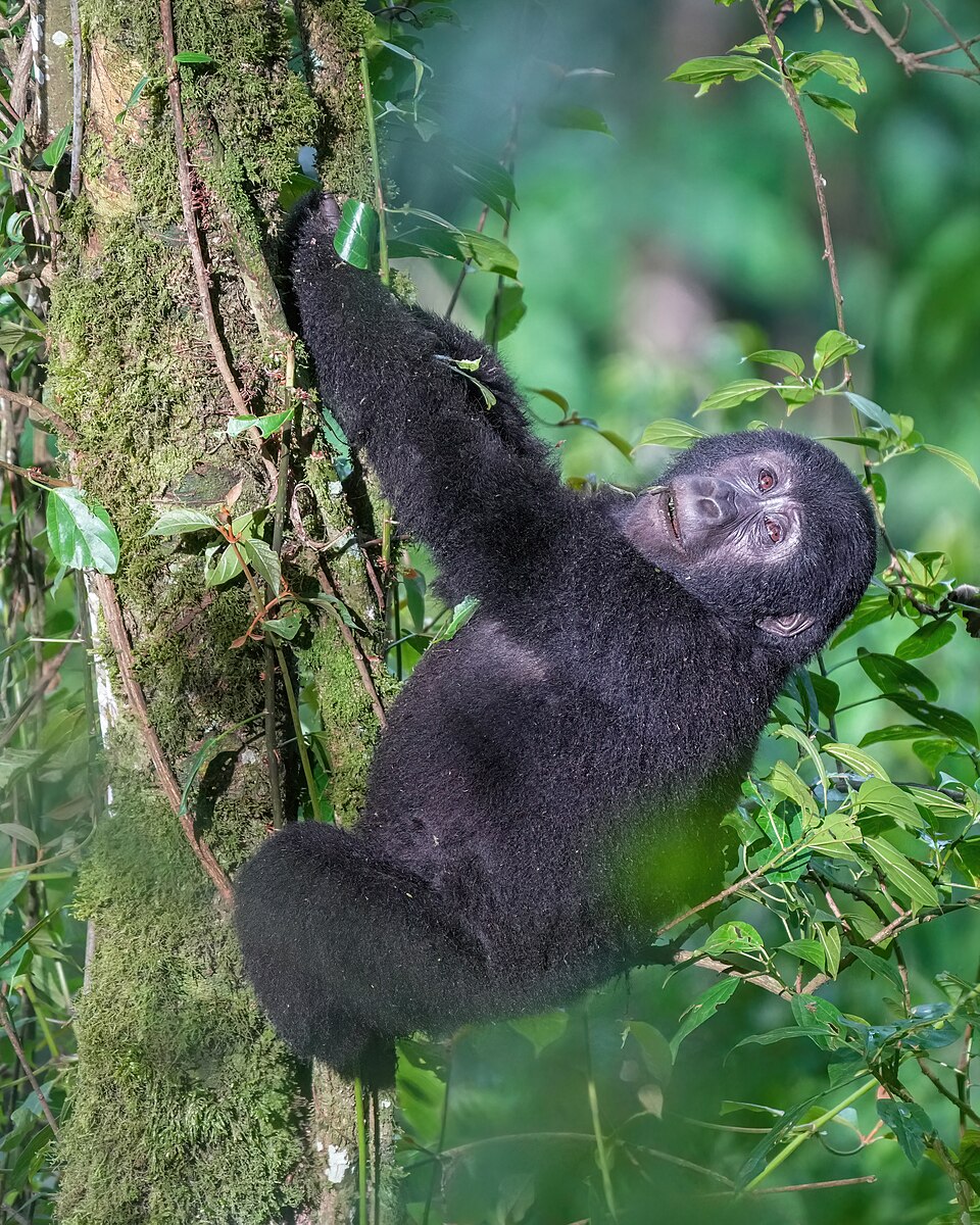
Farther southwest, Bwindi’s steep forest shelters mountain gorillas. These mostly plant-eating apes live in family groups. Farms press against their limited habitat, and disease or snares can harm them. Rangers, veterinary care and carefully controlled visits help protect them. Visitors must keep their distance and stay away when ill. Conservation also needs opportunities for neighboring families.
Keeping a forest standing protects more than its best-known animal. It also shelters other species and holds soil on steep slopes. Gorilla visits are limited and supervised because crowds and close contact could harm the animals people came to see.
Locate this stop on the map ↗