Our journey through Zambia follows long roads from Lusaka to the Copperbelt, then southwest to wildlife country and the Zambezi. This landlocked plateau has rainy summers and a long dry season.
Your route
Five places, one journey
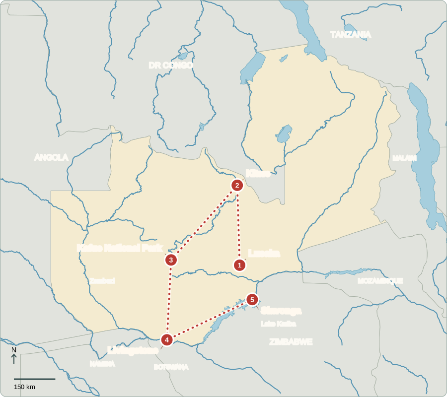
Route lines connect learning stops, not exact roads.
Lusaka
A capital between farms and markets
Lusaka’s markets sell maize meal, vegetables and household goods. Nshima, a thick maize porridge, is often served with relish. Zambia became independent from Britain in 1964. Voters elect a president to lead the government and representatives to the National Assembly, which passes laws and approves spending. Citizens can compare parties and contact their representatives; elections and scrutiny help hold officials accountable.
English is used in government, while Bemba, Nyanja, Tonga and many other languages connect communities. Market stalls illustrate another link: a city depends on food grown beyond its edge, and growers depend on customers in towns.
Locate this stop on the map ↗
Kitwe
Copper connects distant places
Driving north brings us to Kitwe in the Copperbelt. Copper carries electricity well, so mines supply metal for wires and machinery around the world. Mining provides export earnings and jobs, but changes in copper prices affect the wider economy. Heavy cargo must cross neighboring countries to reach seaports. Zambia’s landlocked position makes reliable railways, roads and border crossings especially important.
Mining towns need electricity to operate equipment and water for people and industry. Copper therefore links Zambia’s geology to its rivers as well as its trading partners. A shortage in one system can interrupt work in another.
Locate this stop on the map ↗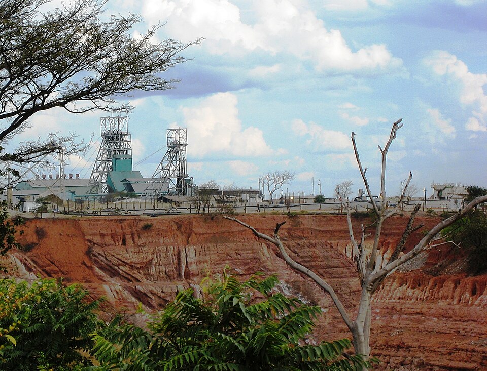
Kafue National Park
Room for wildlife and people
We turn southwest toward Kafue National Park. Rivers, grasslands and woodland shelter antelope, elephants and many birds. Seasonal flooding creates rich feeding areas. Guides and lodges earn income from visitors, while conservation requires protecting habitats and working with neighboring communities. Outside protected land, farmers grow maize and other crops. Drought can reduce harvests, making food and farm income less secure.
Woodland is land with scattered trees, rather than an unbroken dense forest. Its mixture of open ground and tree cover supports different animals. Keeping connected habitats gives wildlife room to move as water and food supplies change.
Locate this stop on the map ↗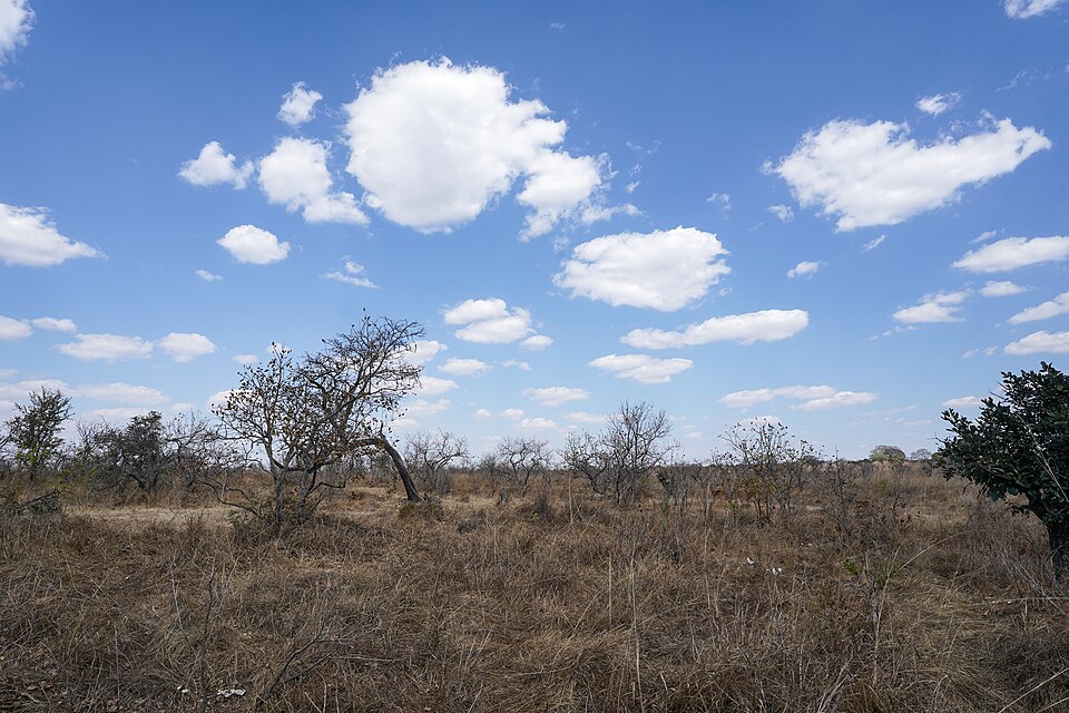
Livingstone
The river becomes a curtain
A long journey south reaches Livingstone beside Mosi-oa-Tunya, also called Victoria Falls. The Zambezi drops into a deep gorge on the Zimbabwe border. Its spray rises above the trees when water levels are high. The name Mosi-oa-Tunya means ‘the smoke that thunders.’ Hotels, craft sellers and guides depend on visitors, but the falls change with seasonal river flow.
The river is also a boundary, but the waterfall belongs to one connected natural system. Visitors can see it from either country. Protecting the gorge and upstream water requires cooperation beyond a single town or national park.
Locate this stop on the map ↗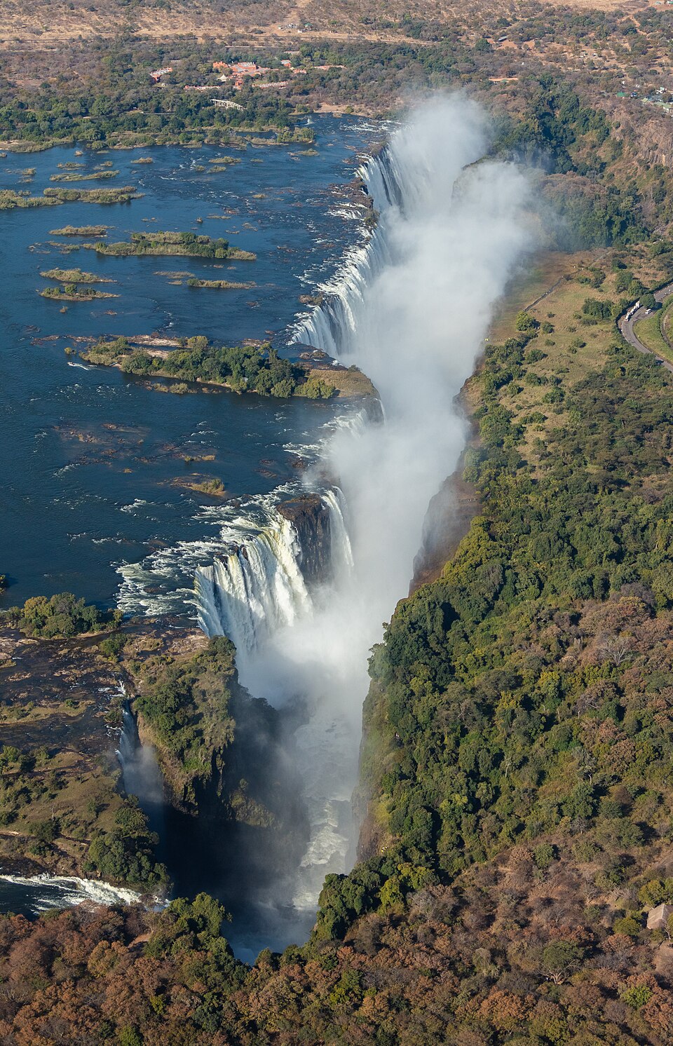
Siavonga
Electricity depends on rainfall
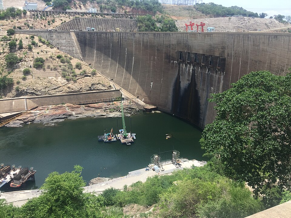
Following roads east, we reach Siavonga beside Lake Kariba. A dam shared with Zimbabwe stores Zambezi water and drives turbines to produce electricity. The lake also supports fishing. Building it displaced communities, including Tonga people. During drought, less water means less hydropower, affecting homes, mines and businesses. This connects distant rainfall, daily electricity supplies and the copper trade we encountered farther north.
A reservoir can store water from wetter times, but it cannot replace rain indefinitely. When supplies fall, decisions about water affect several users at once. Electricity production, fishing and household needs all depend on the same river.
Locate this stop on the map ↗